2026
The World’s 100 Best Hikes
Day hikes: trails, ridges, summits, lakes and gorges reached on foot.
The list
-
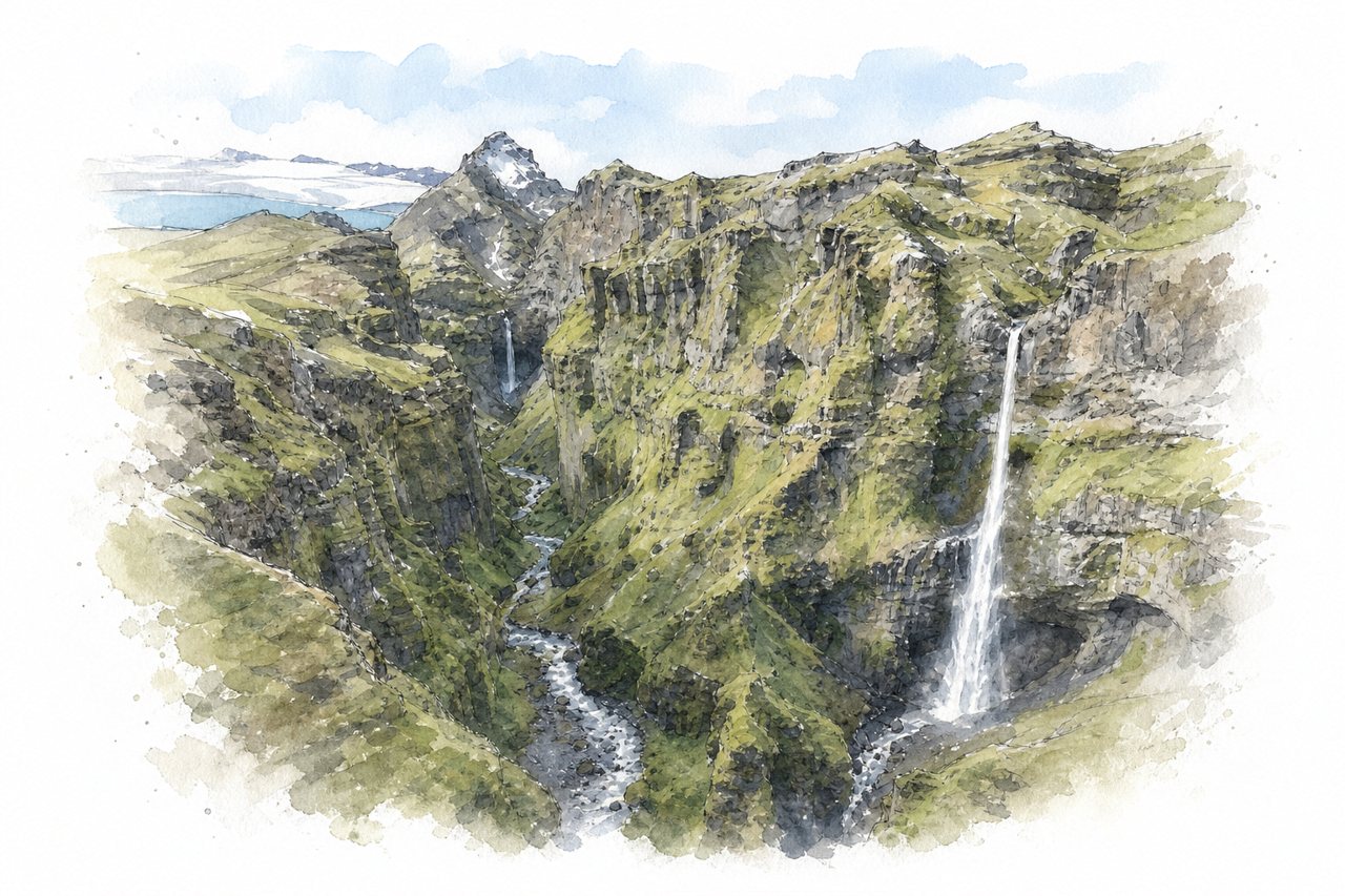
A canyon hike in South Iceland climbing steeply over gravel and rock to viewpoints above a moss-covered gorge. From the top, several waterfalls drop into the canyon, with a glacier lagoon and Vatnajökull glacier visible beyond.
Highlights
- Main viewpoint over waterfalls
- Stream crossing on the trail
- Exposed ridge to summit
Good to know
- About 45–60 minutes uphill to main viewpoint
- Paid parking, 1000 ISK, four-hour limit
- Upper section narrow, steep, no railings
-
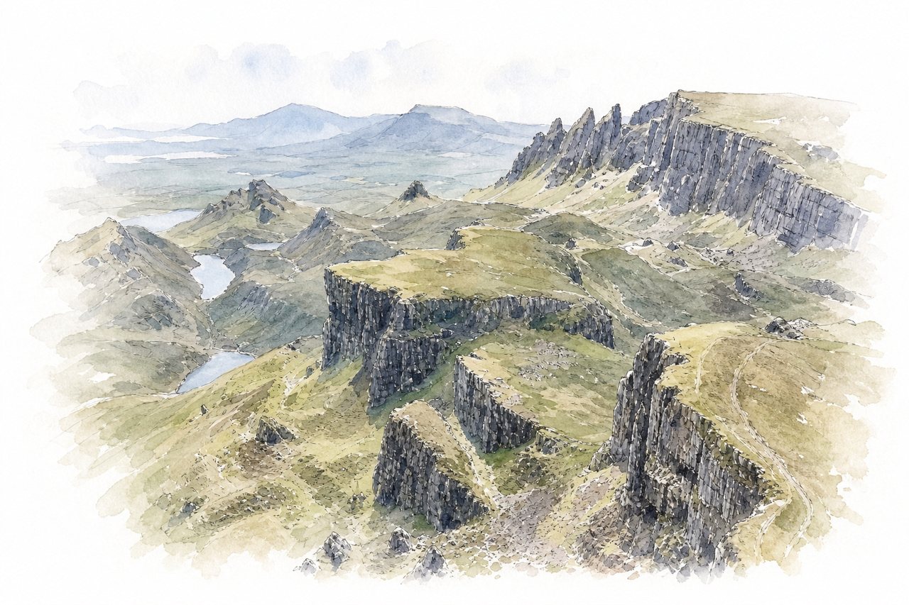
A loop walk of about 7 km through rock formations left by the Trotternish landslide on Skye, starting from a paid car park. Paths pass the Needle and the Prison below cliffs, then return over a boggy, unmarked plateau with views to the sea.
Highlights
- The Needle and the Prison
- Muddy plateau above the escarpment
- Stream and waterfall crossings
Good to know
- Loop about 7-8 km, 2-4 hours
- Paid car park fills early; no toilets
- Single-track access road with passing places
-
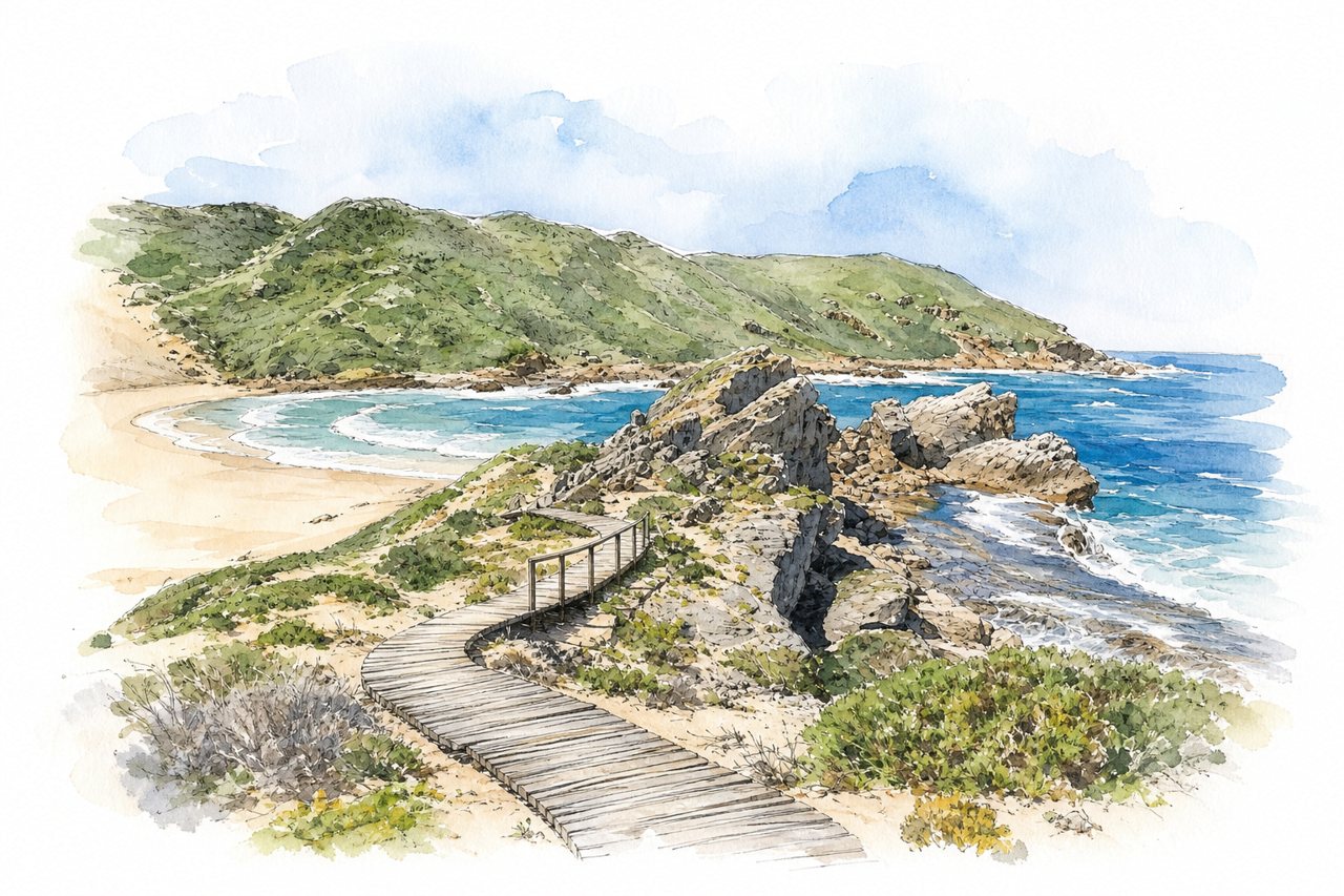
A coastal nature reserve near Plettenberg Bay with three looped trails of about 2, 5.5 and 9 km around a rocky peninsula. Paths cross boardwalks, sand dunes, a swimming beach and boulder scrambles, with seal colonies visible below the cliffs.
Highlights
- The Point rock scramble
- Witsand dune and beach
- Seal colony from above
Good to know
- Long loop about 9 km, 3-5 hours
- Entrance fee about R75 per person
- Fully exposed, no shade or water
-
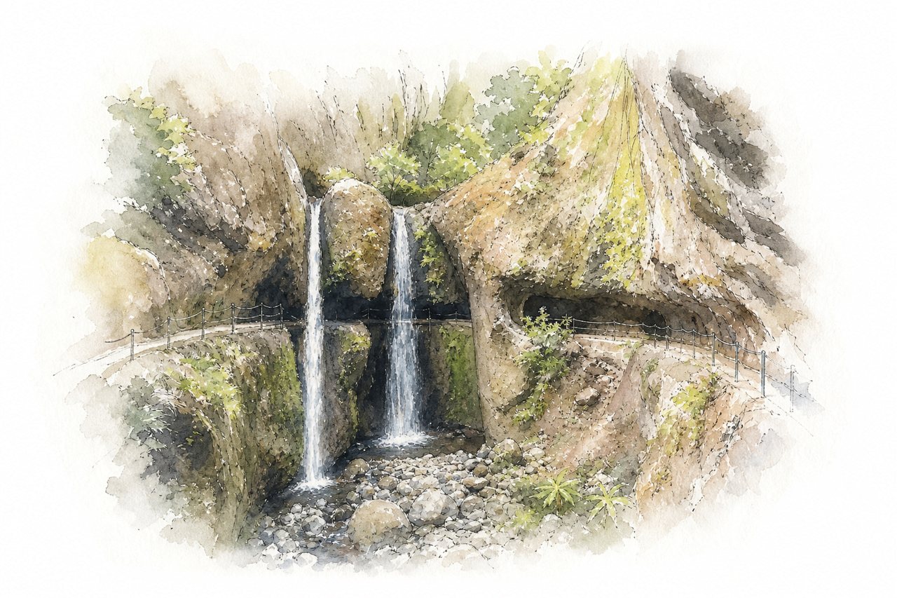
A loop near Ponta do Sol on two stacked irrigation channels, the upper Levada Nova and the lower Levada do Moinho, starting at Igreja da Lombada. The path passes behind waterfalls and through a tunnel, with long unrailed ledges above deep drops on Levada Nova.
Highlights
- Path behind the waterfalls
- Tunnel after the waterfalls
- Valley views from Levada Nova
Good to know
- Loop about 9–10 km, 2–3 hours
- Long unrailed narrow sections above drops
- Park near Igreja da Lombada; spaces limited
-
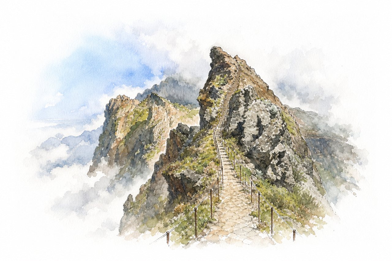
A one-way mountain trail on Madeira runs along volcanic ridges from Pico do Areeiro to Pico Ruivo, ending at Achada do Teixeira. Railings line most exposed sections, rock tunnels cut through the ridge, and clouds often fill the valleys below.
Highlights
- Sunrise at Pico do Areeiro
- Dark wet rock tunnels
- Steps up Pico Ruivo
Good to know
- About 3 to 4 hours, one way only
- Book timed ticket online in advance
- Taxi back from Teixeira, about €20 each
-
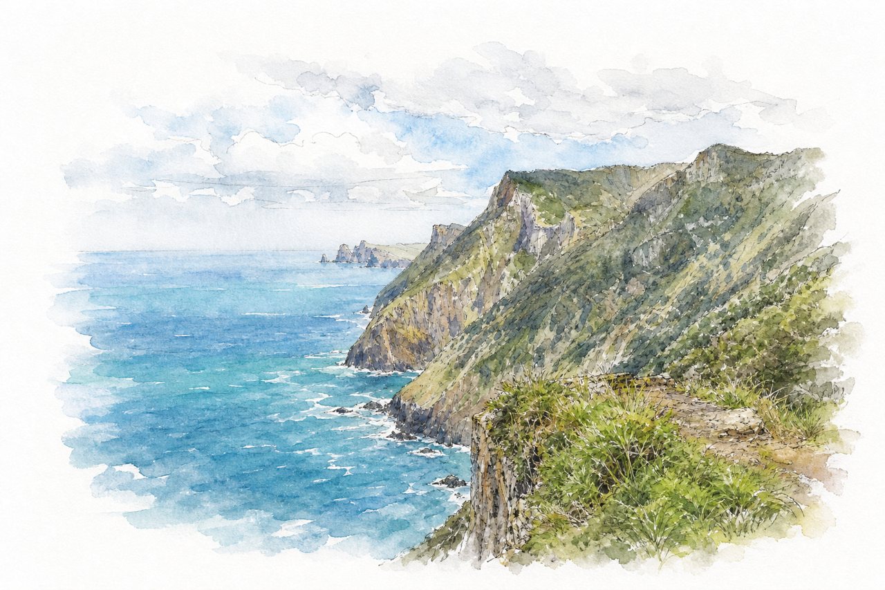
A coastal path on Madeira's northeast coast linking Porto da Cruz with Boca do Risco and Machico, cut into cliffs above the Atlantic. Forest stretches with small waterfalls give way to a mostly flat cliff walk facing the São Lourenço peninsula.
Highlights
- Boca do Risco pass
- Cliff path above the Atlantic
- Levada do Caniçal from Machico
Good to know
- Porto da Cruz to Boca do Risco: 5 km
- Roadside parking only, limited, arrive early
- Exposed sections, some without railings, rockfall risk
-
Angels Landing
Zion National Park, United States
Top 10No. 1 in North AmericaNo. 1 in the United StatesSummit
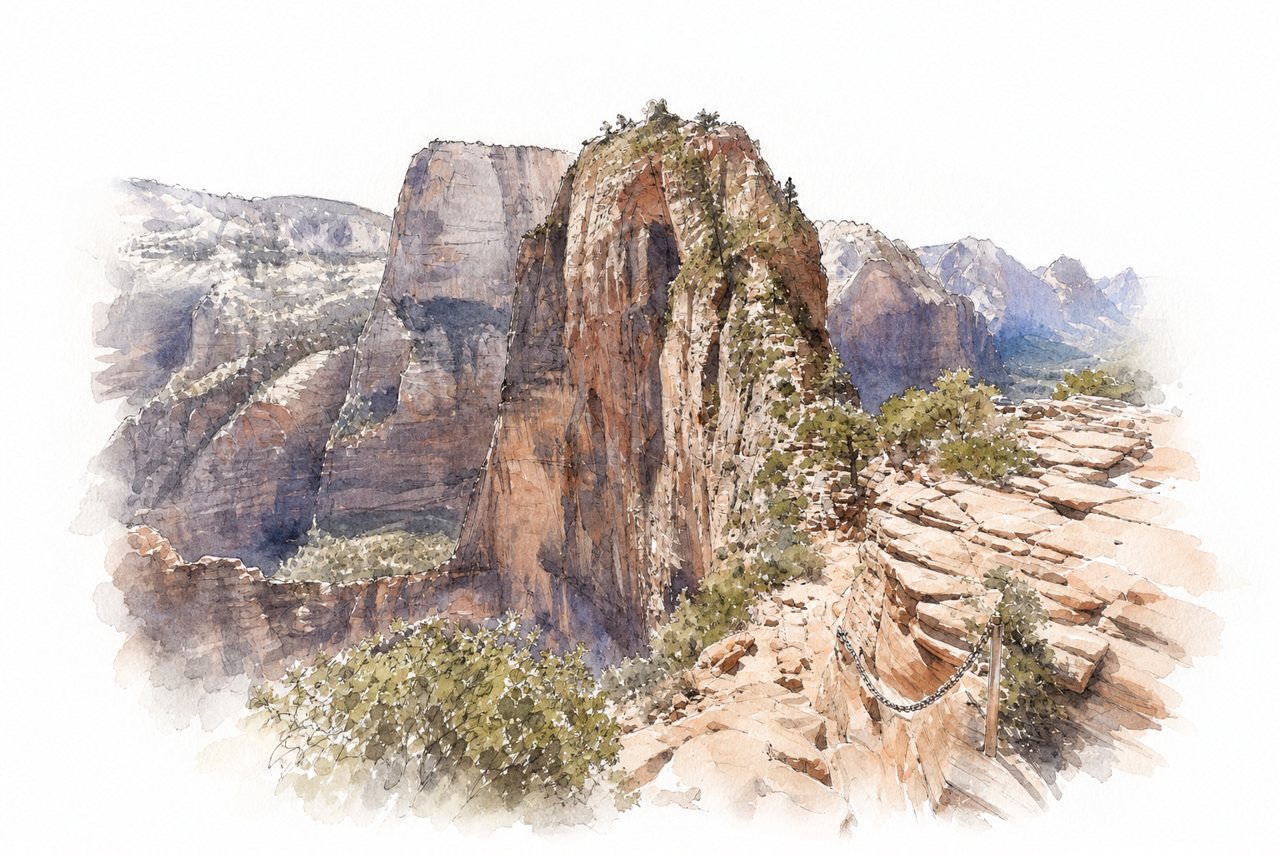
A day hike in Zion National Park climbing paved switchbacks from the Grotto shuttle stop to Scout Lookout, then a narrow sandstone spine to the summit. The final section follows chains bolted along a ridge with steep drop-offs on both sides.
Highlights
- Walter's Wiggles switchbacks
- Scout Lookout
- Chain section along the spine
Good to know
- Permit by lottery required beyond Scout Lookout
- About 5 miles round trip, 3-5 hours
- Start early to avoid heat and crowds
-
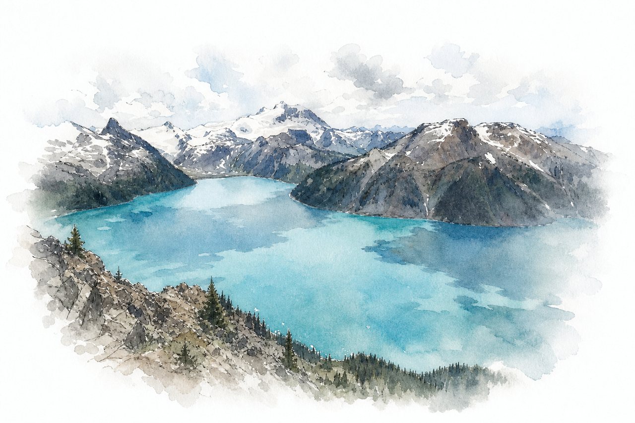
A day hike in Garibaldi Provincial Park from the Rubble Creek parking lot, climbing forest switchbacks and crossing Taylor Meadows to a rocky ridge. The summit overlooks turquoise Garibaldi Lake, with Black Tusk and Mt Garibaldi in view.
Highlights
- Garibaldi Lake from the summit
- Taylor Meadows wildflowers
- Views of Black Tusk
Good to know
- About 30 km round trip, 9–12 hours
- Day-use pass required in peak season
- Final 1–2 km steep with loose rock
-
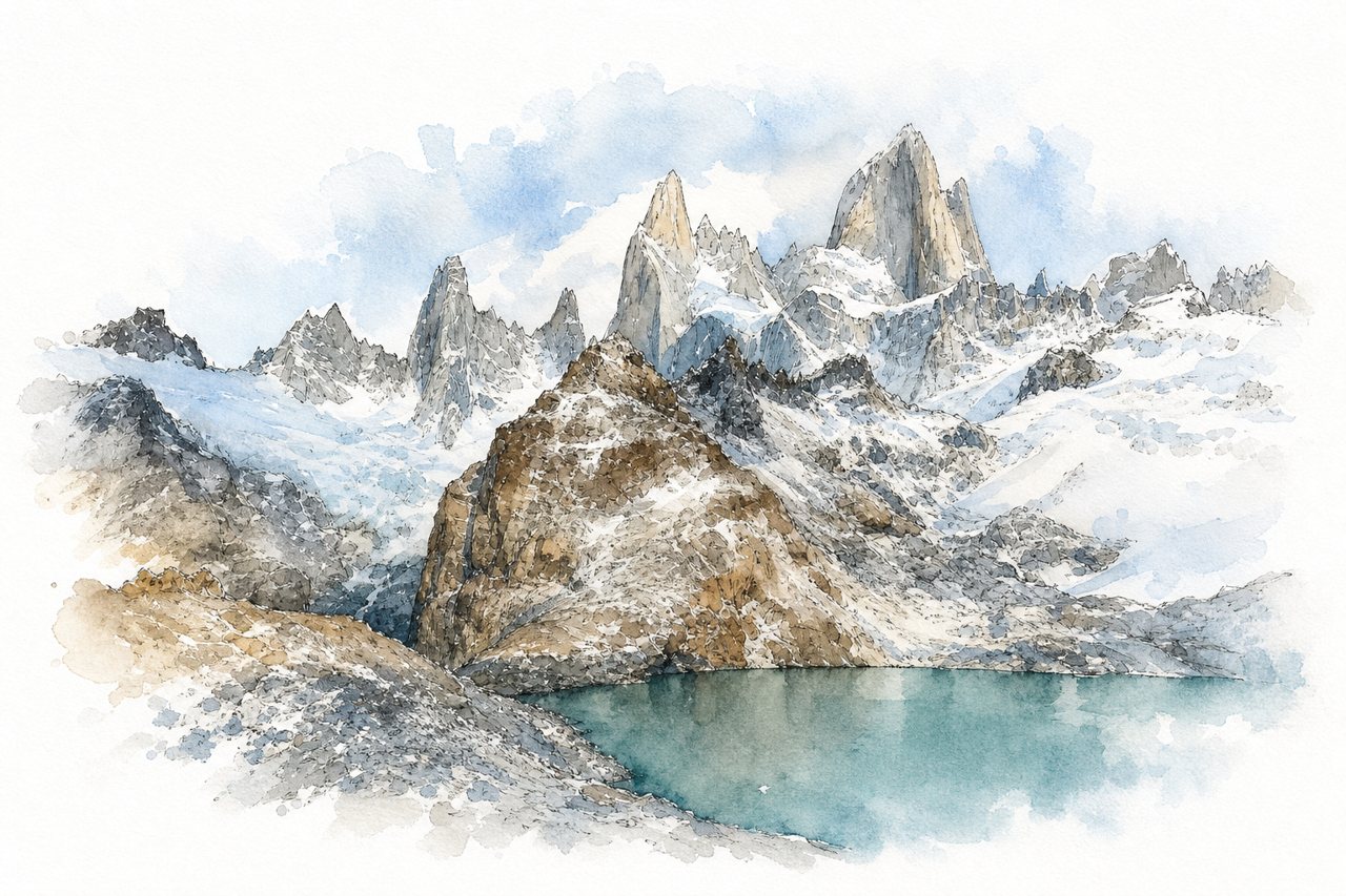
A day hike from El Chaltén to a glacial lagoon at the foot of Mount Fitz Roy, about 20 to 25 km round trip. Nine mostly flat kilometres through forest end in a steep final kilometre of loose rock, often climbed before dawn for sunrise.
Highlights
- Fitz Roy above the lagoon
- Laguna Sucia from the ridge
- Laguna Capri
Good to know
- About 20–25 km round trip, 8–10 hours
- Final kilometre steep, loose and slippery rock
- Park entrance fee 45,000 ARS for foreigners
-
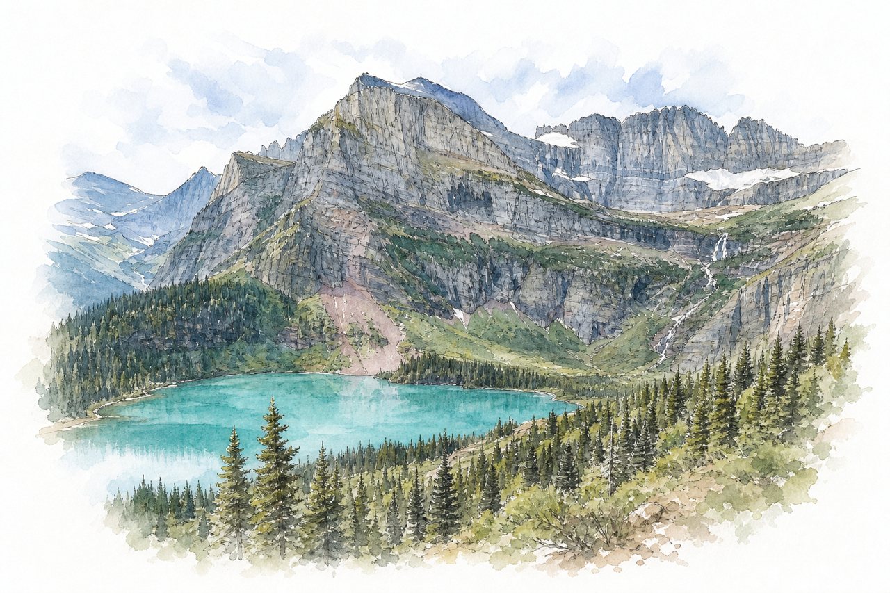
A day hike in the Many Glacier area passes Lake Josephine and climbs above turquoise Grinnell Lake to the glacier. The trail ends at an upper glacier lake with ice floes, and bears, moose and bighorn sheep are often seen along the way.
Highlights
- Lake Josephine shoreline
- Grinnell Lake overlook
- Upper Grinnell Glacier lake
Good to know
- About 11 miles round trip, 6–8 hours
- Last half mile steep with rock steps
- Lot fills early; boat shortens hike
-
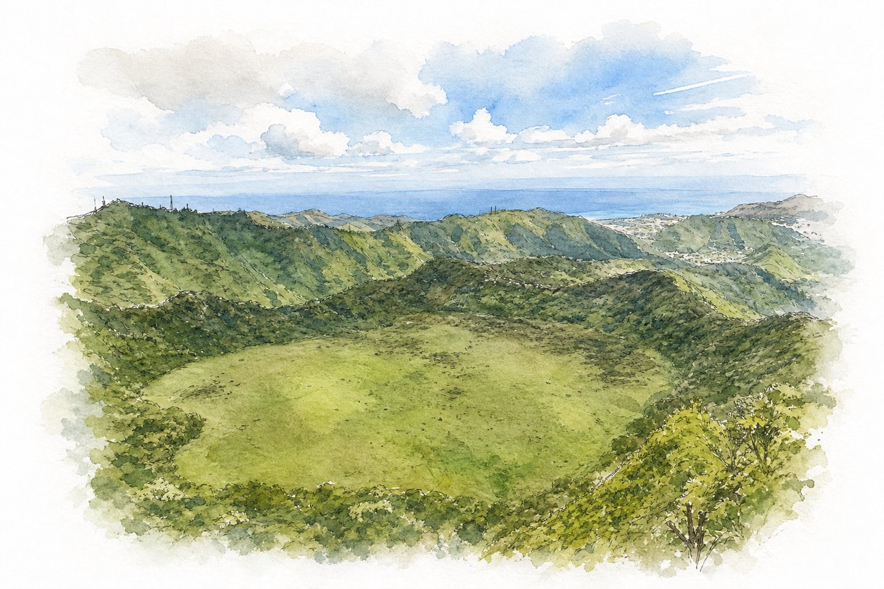
A loop trail in a residential valley on Oʻahu follows a water pipe and stream through jungle to three waterfalls and a crater rim. Fixed ropes lead up beside the third waterfall to a narrow, muddy ridge with steep drops on both sides.
Highlights
- Three waterfalls
- Rope climb at third waterfall
- Crater rim ridge
Good to know
- Full loop takes about 4 to 7 hours
- Few parking spots in residential area
- Mud and slippery sections, worse after rain
-
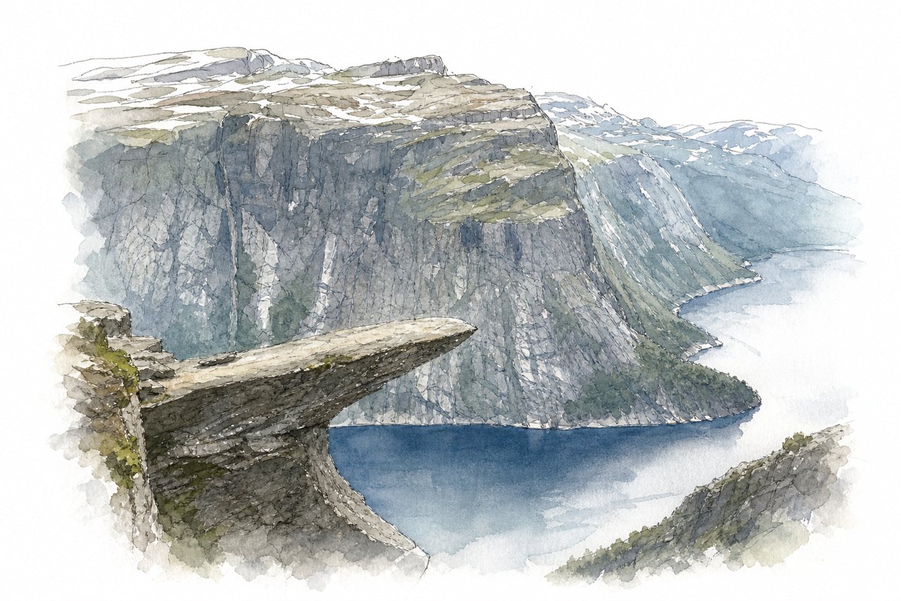
A long day hike in Hardanger to a rock ledge jutting out high above Lake Ringedalsvatnet. A steep rocky climb near the start gives way to rolling plateau, and queues for the photo on the rock often reach 30 minutes.
Highlights
- Trolltunga rock ledge
- Views of Ringedalsvatnet
- Steep boulder climb from P3
Good to know
- About 20 km return from P3
- Shuttle P2 to P3; last bus 7 PM
- Book P3 parking well in advance
-
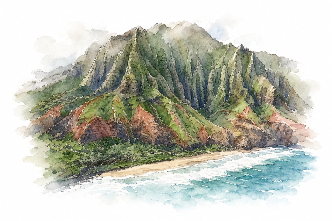
An 11-mile coastal trail runs from Ke'e Beach to Kalalau Beach along the Nā Pali Coast on Kauaʻi. Most hikers go 2 miles to Hanakāpīʻai Beach or on to its falls, crossing streams on muddy, steep ground above the cliffs.
Highlights
- Hanakāpīʻai Beach
- Hanakāpīʻai Falls
- Crawler's Ledge near mile 7
Good to know
- 11 miles one way; beach 2 miles
- Haena State Park reservation needed, book ahead
- Shuttle from Waipa Park and Ride
-
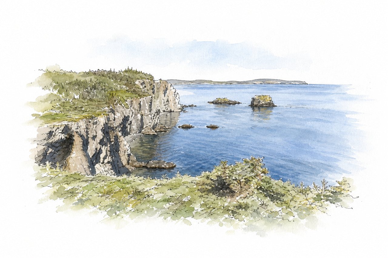
A loop trail of just over 5 km near Port Rexton, running through forest and out along the coastal cliffs of Trinity Bay. Sea stacks, lookouts with benches, and views of Trinity and its lighthouse line the route, with whales, icebergs and foxes sometimes seen.
Highlights
- Sea stacks with nesting birds
- Trinity and lighthouse view
- Pebble beach near trail end
Good to know
- 5.3 km loop, about 2 hours
- Steep, muddy sections; stairs and boardwalks
- Busy parking by church; arrive early
-
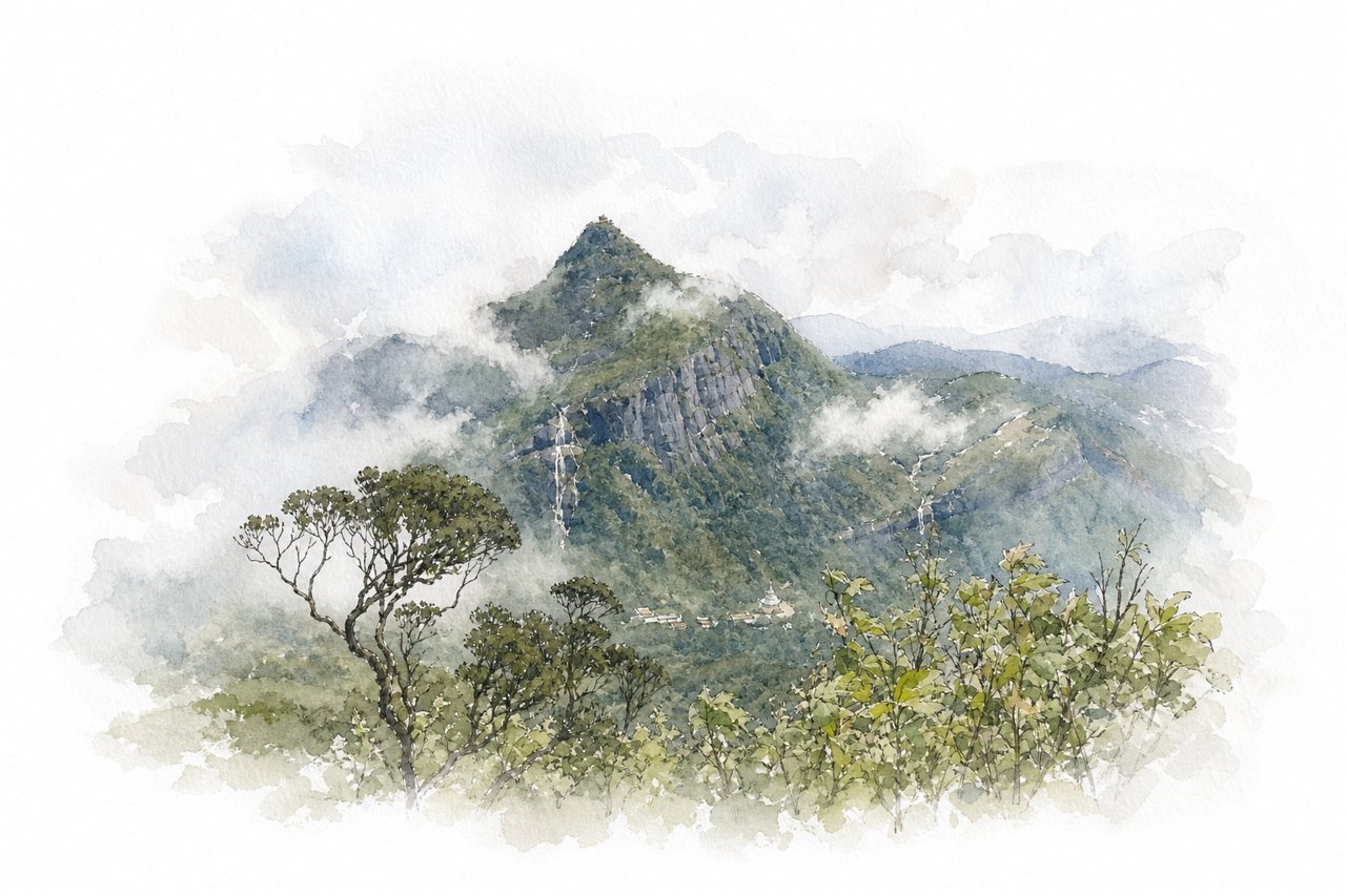
A sacred 2,243-meter conical mountain in Sri Lanka's Central Highlands, climbed by thousands of stone steps to a summit temple holding a footprint shrine. Most pilgrims climb overnight on a lit path lined with tea stalls to watch sunrise and the peak's triangular shadow.
Highlights
- Summit footprint shrine
- Triangular sunrise shadow
- Nallathanniya stepped trail
Good to know
- Over 5,200 steps, about 3 hours up
- Last stretch steep, summit cold and windy
- Off-season Jun-Nov: few shops, no lights
-
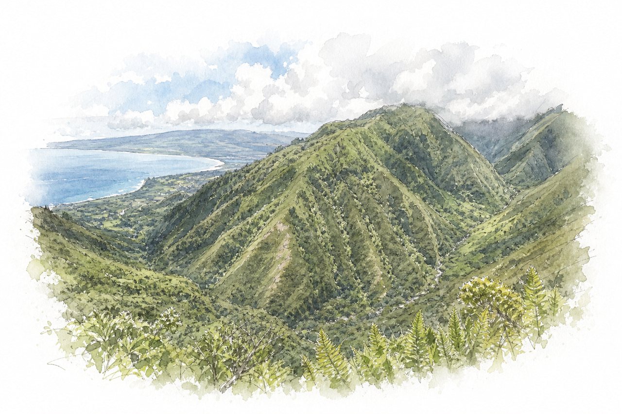
An out-and-back ridge trail in the West Maui Mountains climbs through forest to a summit picnic table. A steep paved ramp opens the climb, then open ridge views take in valleys, waterfalls and ocean, though clouds often cover the top.
Highlights
- Steep concrete ramp at start
- Halfway lookout over valley
- Summit picnic table
Good to know
- About 4 miles round trip, 2-3 hours
- Roughly 1,500 ft gain, steepest at start
- Gate opens 7am; arrive early, lock nothing valuable
-
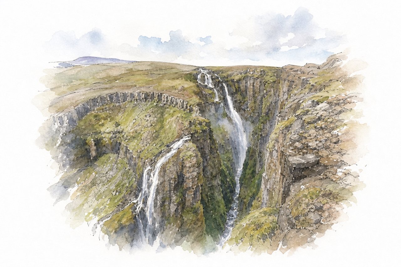
A 198-metre waterfall in Hvalfjörður, reached only on foot by a loop trail through a cave and up the side of a deep gorge. Two crossings of the Botnsá River, one on a log with a cable, the other wading above the falls, set the route apart.
Highlights
- Cave descent to river
- Log and cable crossing
- Gorge viewpoints above waterfall
Good to know
- About 7 km loop, 3 to 4 hours
- Roughly 300 m ascent, steep roped sections
- Log only in summer; wade otherwise
-
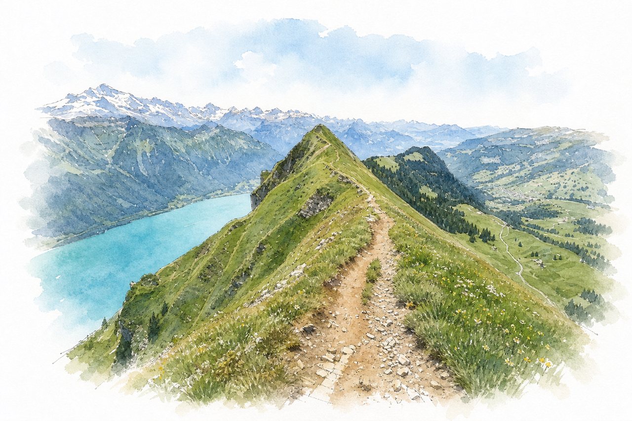
A summit on the ridge above Lake Brienz, usually climbed from the Lombachalp parking area near Habkern. A steep ascent leads to a ridge path toward Suggiture and Harder Kulm, with views of Lake Brienz and the Eiger, Mönch and Jungfrau.
Highlights
- Ridge path to Suggiture
- Lake Brienz from the summit
- Ibex on the ridge
Good to know
- About 600 m ascent, roughly 2 hours up
- Paid parking at Lombachalp; shuttle from Habkern
- Snow lingers on the ridge into June
-
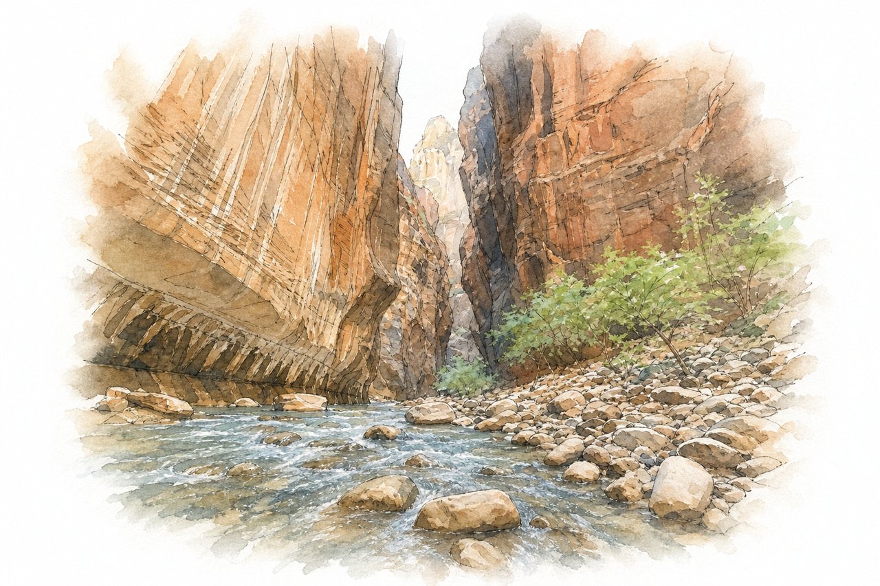
A bottom-up day hike up the Virgin River from the Temple of Sinawava, mostly wading between high sandstone canyon walls. Water runs ankle- to chest-deep over slippery rocks, and crowds thin the farther upstream hikers go.
Highlights
- Riverside Walk paved path
- Hanging gardens on canyon walls
- Wall Street junction
Good to know
- Free shuttle from visitor center to last stop
- Paved path about 1 mile before river
- Check flash flood forecast before starting
-
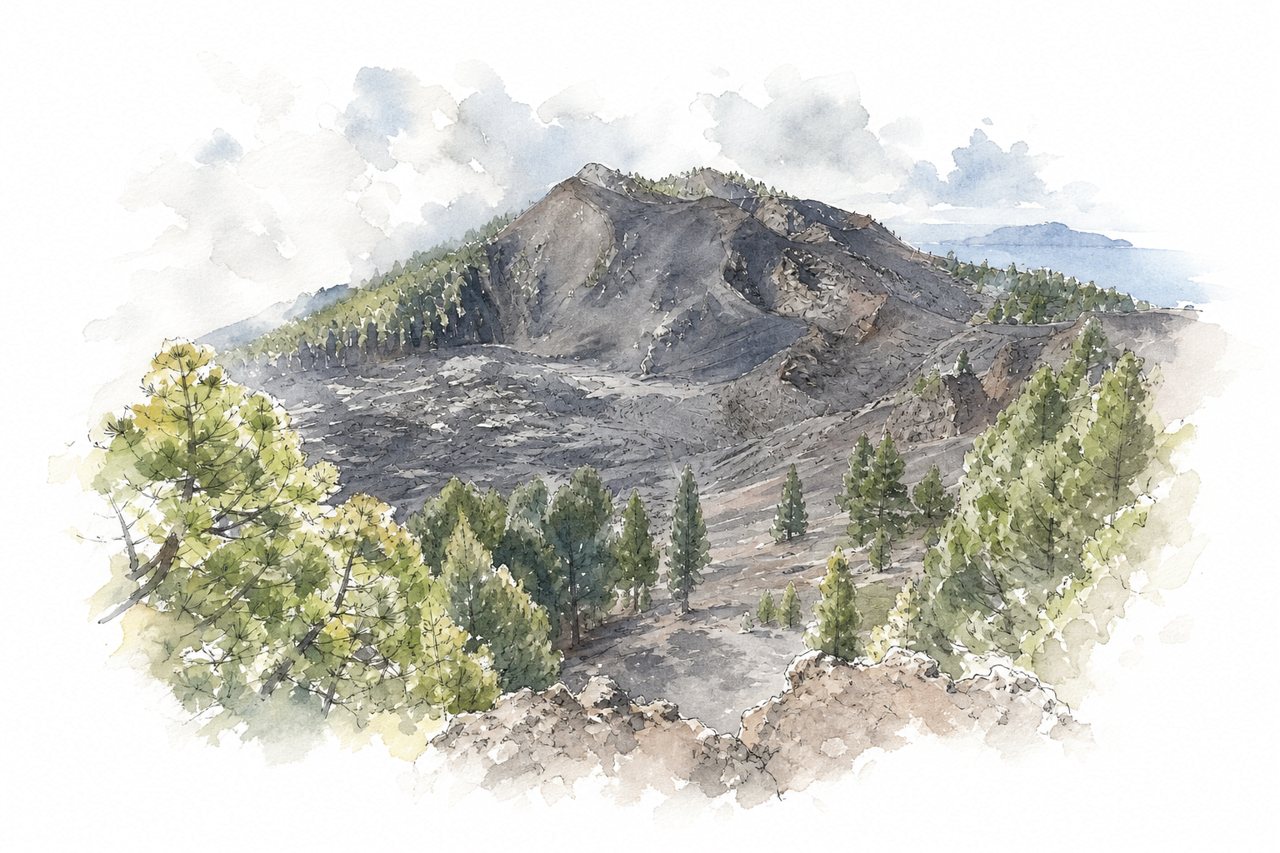
A day hike along the Cumbre Vieja ridge on La Palma, from Refugio del Pilar south to Los Canarios or the Fuencaliente lighthouse. After a climb through pine forest, the trail crosses craters, lava fields and volcanic ash, with views of Tenerife, La Gomera and El Hierro.
Highlights
- Pine forest ascent from El Pilar
- La Deseada summit
- Crater rims and lava fields
Good to know
- El Pilar to Los Canarios: 17–18 km, 5–7 hours
- Taxi Los Canarios–El Pilar costs about €45
- Little shade, frequent fog, no refreshment stops
-
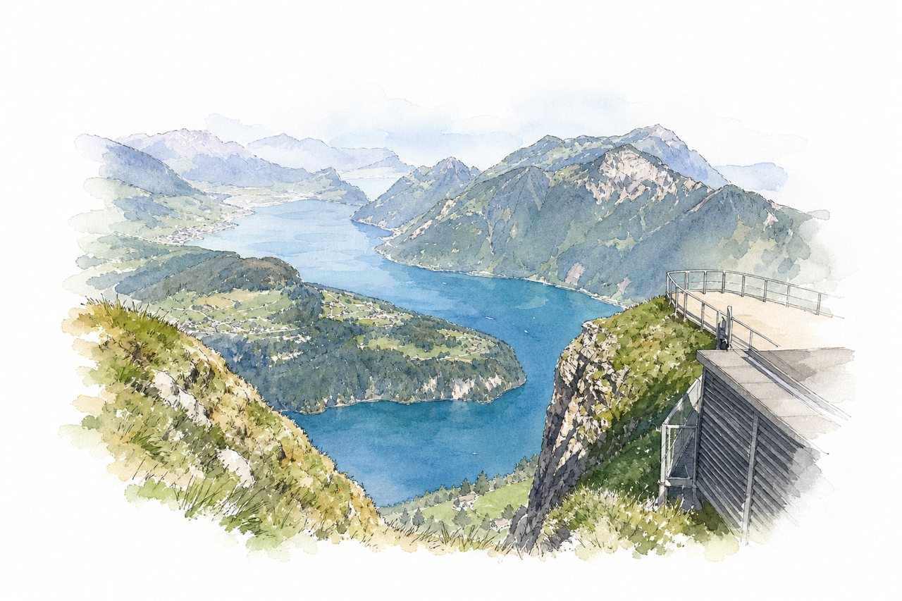
A ridge trail in the Stoos area links the Klingenstock and Fronalpstock summits above Lake Lucerne, reached by funicular and chairlifts. The path runs along a narrow crest with stairs and footbridges, ending at a summit restaurant with a 360° view over lakes and Alps.
Highlights
- Fronalpstock summit panorama
- Lake Lucerne below
- Stairs and footbridges on ridge
Good to know
- Ridge walk about 2 hours, 4.5 km
- Proper hiking shoes needed; slippery, exposed sections
- Crowded on weekends and sunny days
-
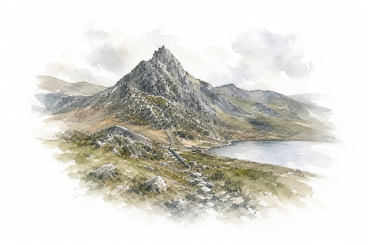
A rocky ridge scramble up Tryfan in the Ogwen Valley, rising above Llyn Ogwen with hands-on Grade 1 climbing for much of the way. The path fades early, so walkers pick their own lines past the Cannon Stone to the Adam and Eve summit stones.
Highlights
- Cannon Stone
- Adam and Eve stones
- Views over Snowdonia
Good to know
- Grade 1 scramble with exposed sections
- Rock slippery when wet; check mountain forecast
- Roadside lay-bys and paid car parks fill early
-
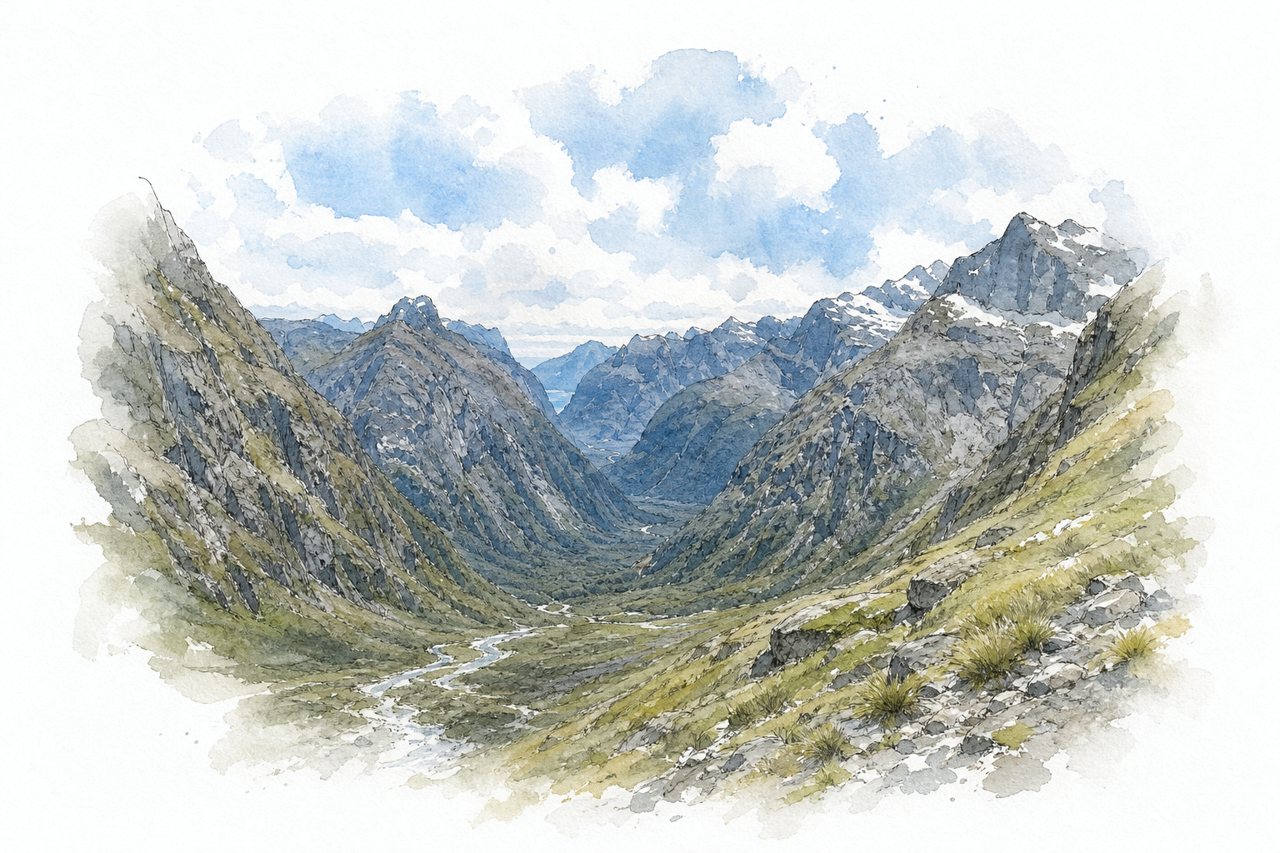
A steep alpine route in Fiordland climbs from a flat glacial valley past waterfalls and Black Lake to a saddle overlooking the Milford valley and fjord. The upper section crosses granite slabs and boulders with fixed cables and ropes, and becomes dangerous when wet.
Highlights
- Glacier-carved valley with stream crossings
- Black Lake below the saddle
- Granite slabs with fixed cables
Good to know
- About 8 to 10 km return
- Allow 4 to 6 hours return
- Do not attempt in rain or ice
-
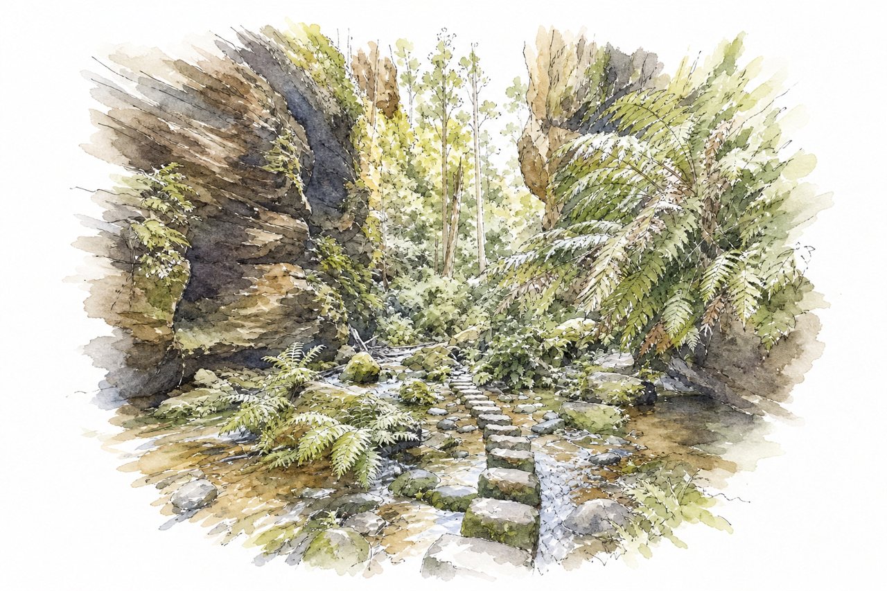
A loop track near Blackheath in the Blue Mountains drops by steep stairs from the clifftop into a rainforest canyon along Greaves Creek. Waterfalls, a path behind a small waterfall, caves, tree ferns and crayfish line the valley floor.
Highlights
- Evans Lookout
- Walk behind the waterfall
- Greaves Creek rainforest floor
Good to know
- About 6.5 km loop, 2.5–3.5 hours
- Steep stairs down and back up
- Free parking fills early; slippery after rain
-
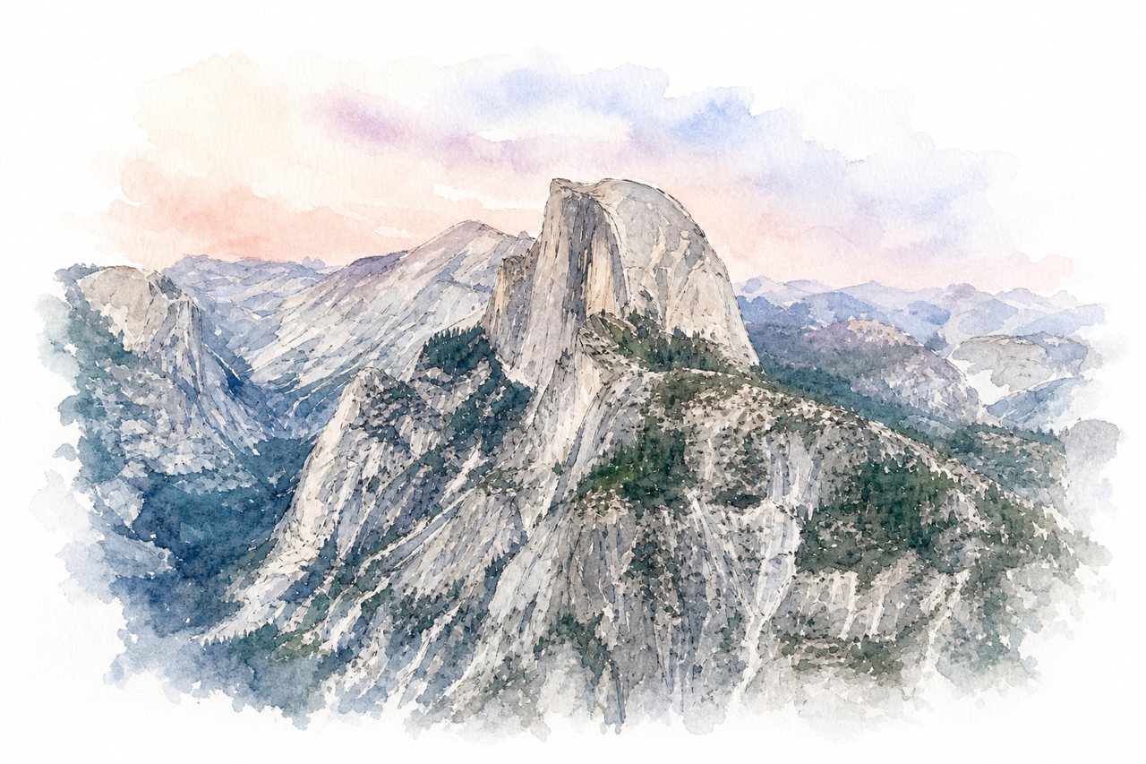
A long day hike from Yosemite Valley past Vernal and Nevada Falls to the granite summit of Half Dome. The final ascent climbs Sub Dome's exposed steps, then a steep cable route to the top.
Highlights
- Vernal and Nevada Falls
- Sub Dome granite steps
- Summit cables and Visor
Good to know
- About 16-18 miles round trip, 10-13 hours
- Roughly 4,800-5,500 feet of ascent
- Cables permit by lottery; gloves needed
-
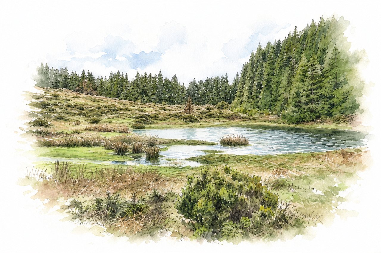
A circular trail of about 5 km in central Terceira, starting beside Gruta do Natal and Lagoa do Negro. A central stretch crosses old lava flows overgrown with dense forest, where hikers scramble over rocks and roots and duck under branches.
Highlights
- Lava field scramble
- Cryptomeria and heather forest
- Lagoa do Negro
Good to know
- About 5 km, 2 to 3 hours
- Free parking fills up; arrive early
- Muddy and slippery; wear grippy footwear
-
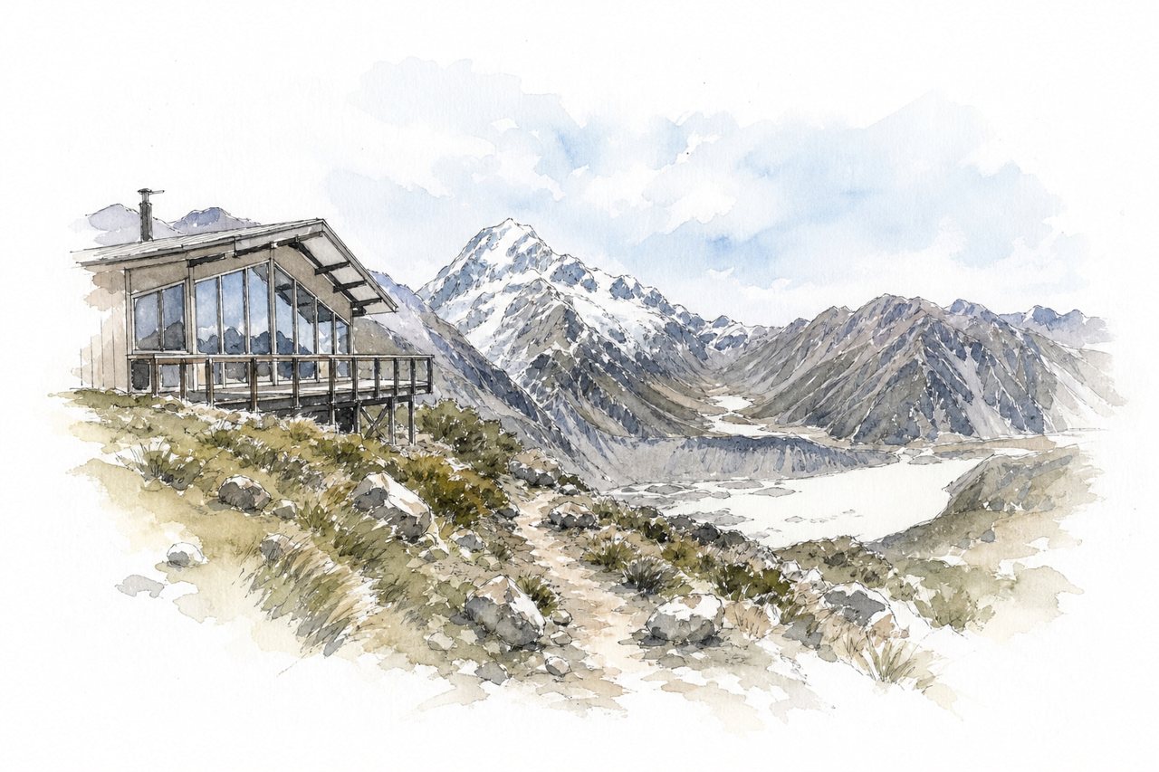
A steep day hike or overnight route climbs from the Mount Cook Village area to a DOC mountain hut above the Mueller Glacier. Around 2,000 stairs lead to Sealy Tarns, then a scramble over boulders and scree reaches a ridge facing Aoraki/Mount Cook and Mount Sefton.
Highlights
- Sealy Tarns lookout
- Boulder and scree slope
- Ridge views of Aoraki
Good to know
- Around 4 to 6 hours return
- Stairs to Sealy Tarns, then loose scree
- Hut must be pre-booked with DOC
-
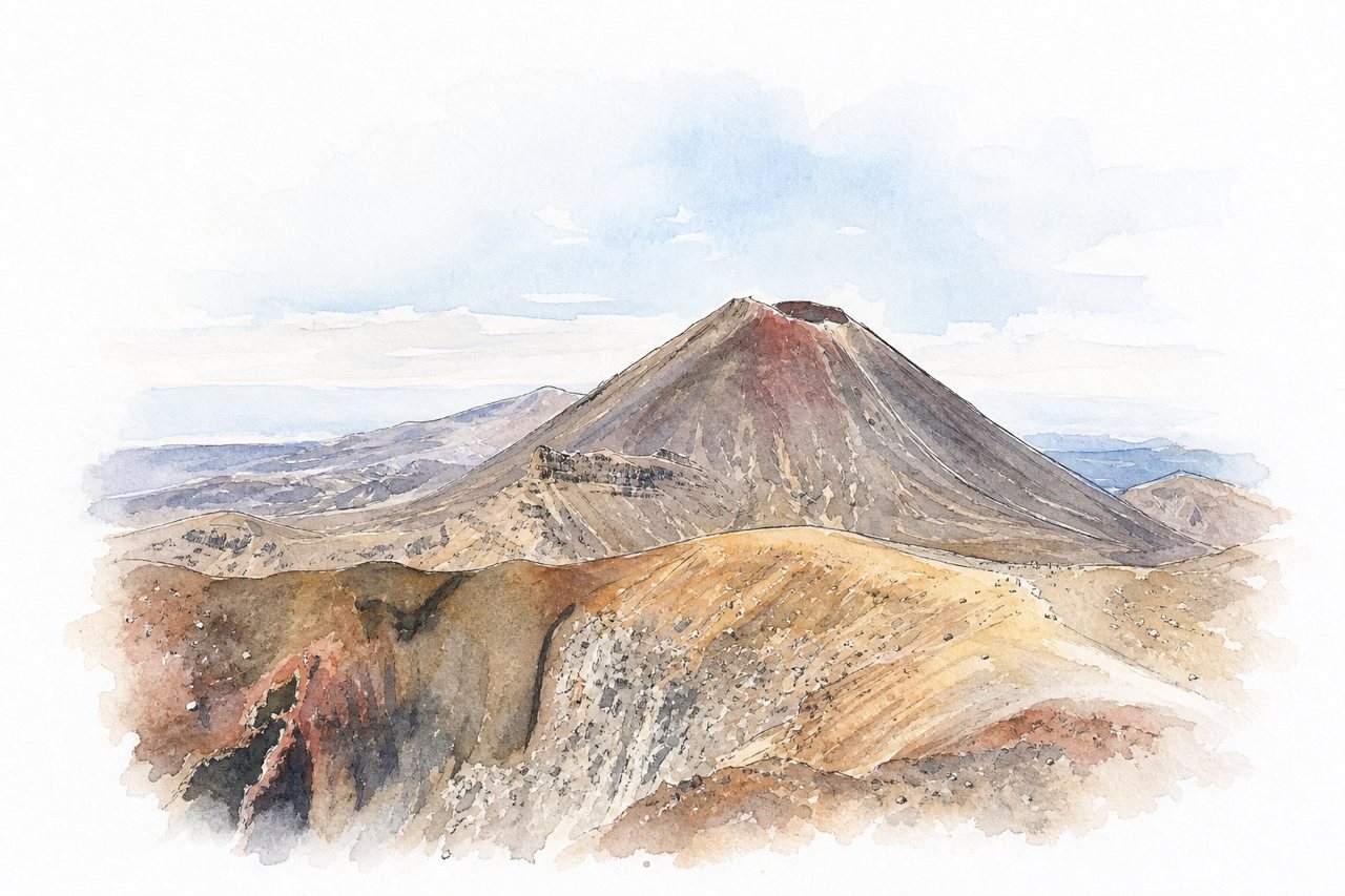
A one-way day hike of about 19.4 km across the volcanic terrain of Tongariro National Park, between Mangatepopo and Ketetahi. The trail passes craters and coloured lakes below Mount Ngauruhoe, with a steep climb to Red Crater and a loose scree descent.
Highlights
- Red Crater
- Emerald Lakes
- Mount Ngauruhoe views
Good to know
- 19.4 km one way, about 6–8 hours
- Shuttle needed; Mangatepopo parking limited to 4 hours
- Steep, slippery scree descent below Red Crater
-
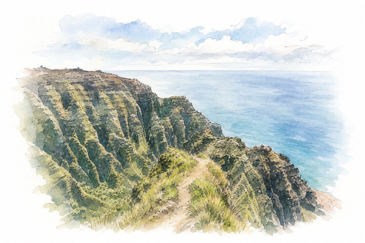
An out-and-back forest trail in Kōkeʻe State Park that descends about 3 miles to a ridge-end lookout above the Nāpali coast valleys. Most of the route stays in shaded forest, and the climb back is nearly all uphill.
Highlights
- Ridge-end lookout and railing
- Narrow ridge past the fence
- Nuʻalolo Valley views
Good to know
- About 6.2 miles round trip, 4–5 hours
- Return climb nearly all uphill
- First mile muddy and slippery after rain
-
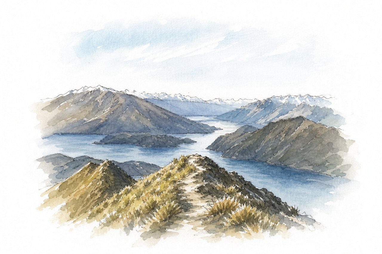
A steep day hike on a wide farm track above Lake Wānaka, climbing about 1,200 metres to a 1,578-metre summit. A photo viewpoint sits 1.5 km below the top, and the summit adds 360-degree views toward Mount Aspiring and the Southern Alps.
Highlights
- Lake Wānaka views
- Famous photo viewpoint
- Summit 360-degree panorama
Good to know
- 16 km return, about 5–7 hours
- No shade; start early or for sunrise
- Small track fee; parking fills early
-
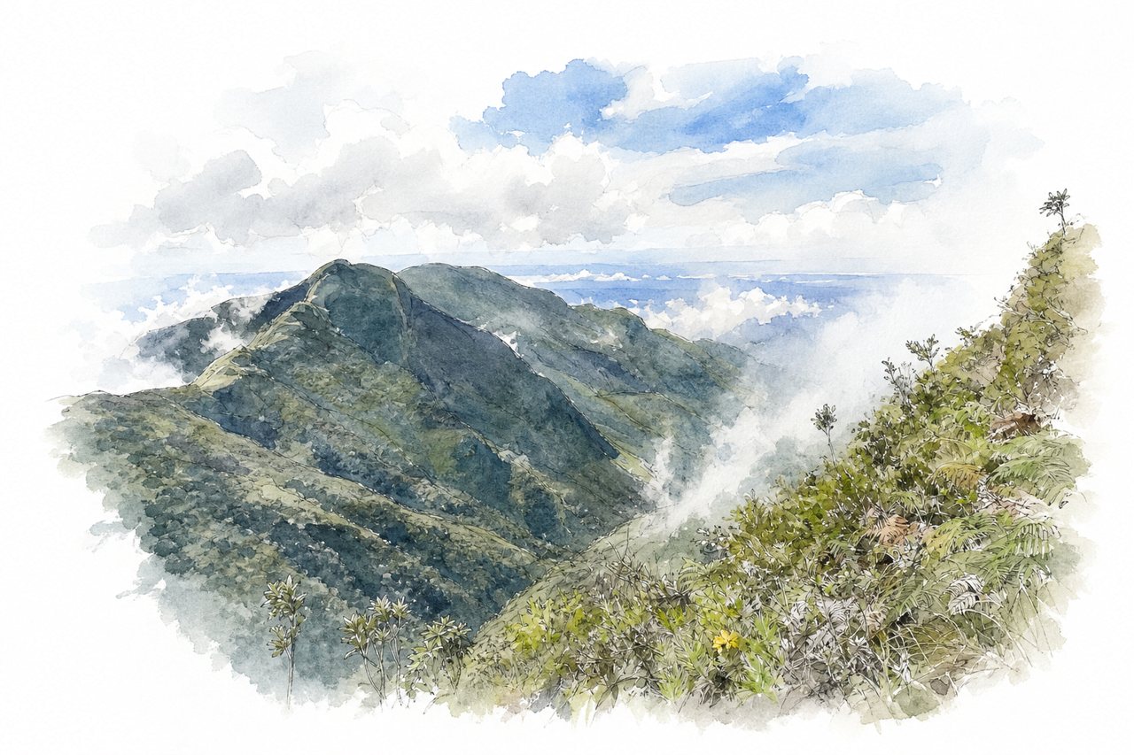
A loop trail of about 9 km across the Horton Plains highland plateau, through grassland and cloud forest to a cliff-edge viewpoint. Mist often covers World's End by mid-morning, so early starts give the clearest view of the drop.
Highlights
- World's End cliff viewpoint
- Mini World's End
- Baker's Falls
Good to know
- Loop of about 9 km, 3–4 hours
- Fees per person plus vehicle pass
- No plastic allowed; bags checked at entrance
-
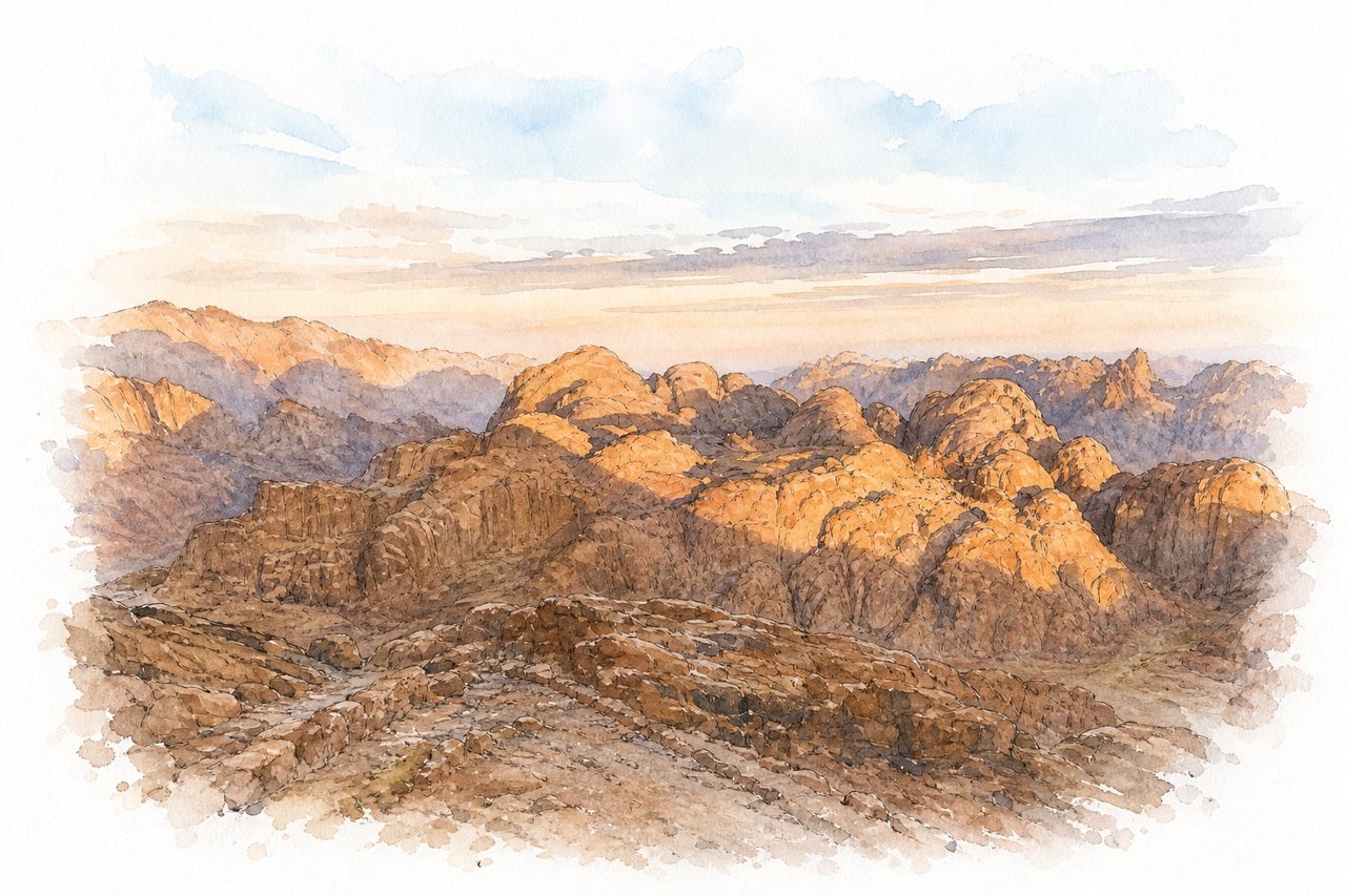
A night ascent of the 2,285-metre granite peak where Moses is said to have received the Ten Commandments, starting near St. Catherine's Monastery. Hikers climb in darkness past Bedouin tea stops and camel stations to watch sunrise from the summit chapel and mosque.
Highlights
- Sunrise from the summit
- Final 750 stone steps
- St. Catherine's Monastery
Good to know
- About 7 km each way, 3-4 hours up
- Cold at summit; blankets rented there
- Camels offered up to the steps, about $20
-
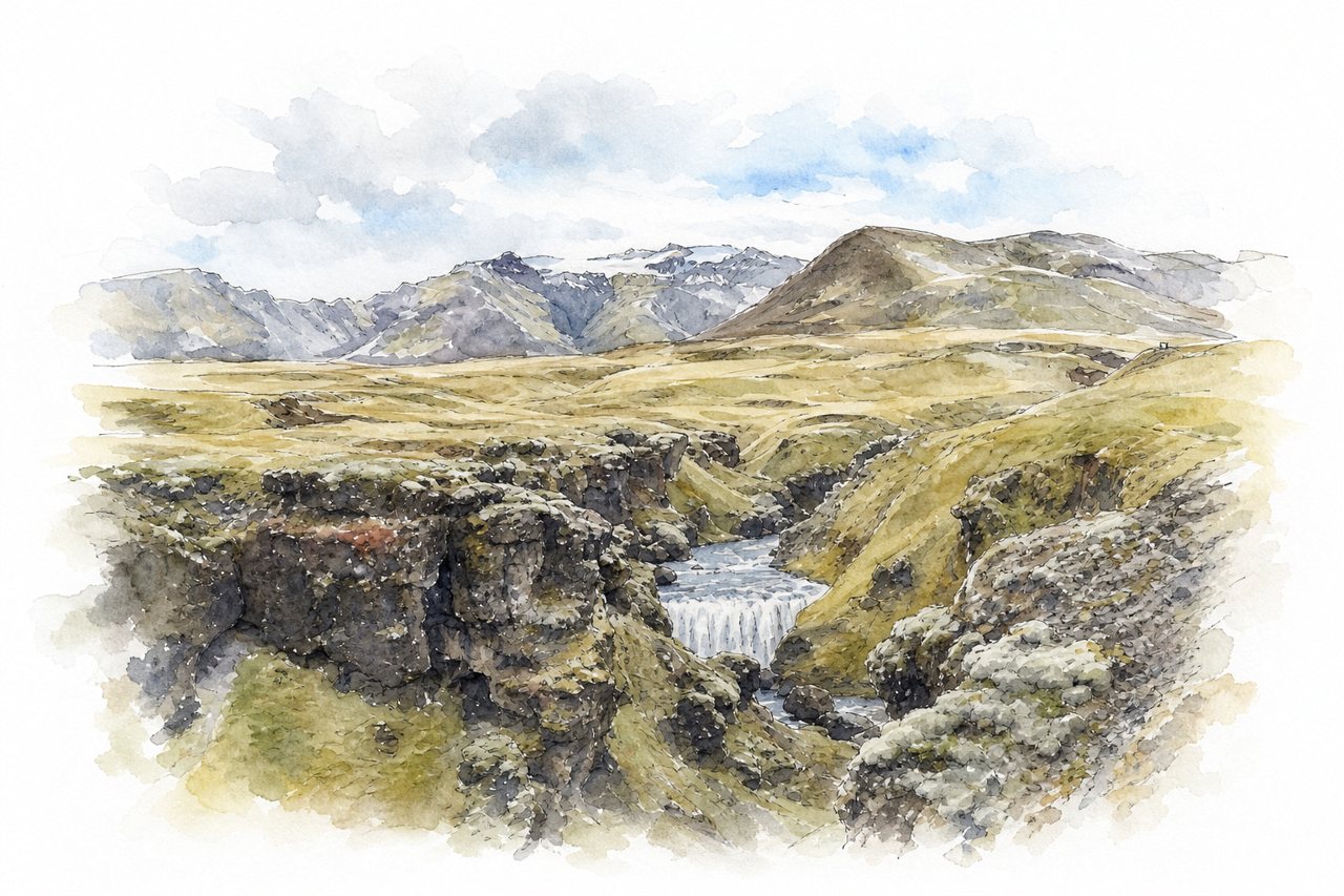
A trail climbing from Skógafoss up the Skógá River gorge toward Þórsmörk, crossing the pass between two glaciers. The first section passes over twenty waterfalls and turns quiet within an hour of the crowds at Skógafoss.
Highlights
- Skógá River waterfall gorge
- Steinbogafoss
- Lava fields between glaciers
Good to know
- Full route about 25 km, 1000+ m ascent
- Bridge about 7 km in, popular turnaround
- Steep, slippery sections; poles and boots advised
-
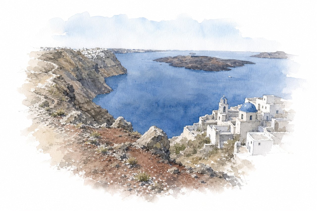
A cliff-top trail along the caldera rim linking Fira to Oia via Firostefani and Imerovigli. Volcanic rock, loose gravel and cliff edges without railings mark the route, with little shade and small churches along the way.
Highlights
- Skaros Rock near Imerovigli
- Caldera views toward Oia
- Small churches along route
Good to know
- About 10 km, 3 to 4 hours
- Two steep climbs, slippery loose stones
- No shade; start early, carry water
-
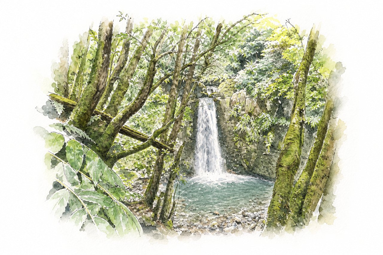
Waterfall with a swimming pool at its base, reached by a forest loop trail from the village of Faial da Terra. Free-roaming chickens line the path, and the return passes through the abandoned village of Sanguinho, which has a small bar.
Highlights
- Pool below the waterfall
- Abandoned village of Sanguinho
- Smaller waterfalls along the way
Good to know
- About 45 minutes each way, 3–5 km
- Google Maps pin misleads; park in Faial da Terra
- Muddy, slippery and steep; wear sturdy shoes
-
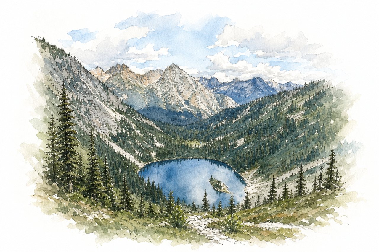
A loop trail off Highway 20 climbs through forest to an alpine ridge and pass above Lake Ann. Ridge sections give 360-degree mountain views, and larches and red bushes draw large crowds in fall.
Highlights
- Lake Ann side trip
- Ridge above Lake Ann
- Fall larches and meadows
Good to know
- About 7.2 to 7.5 miles, 4 to 6 hours
- Parking costs $5 cash; lot fills early
- Counterclockwise climbs gradually; descent is steep
-
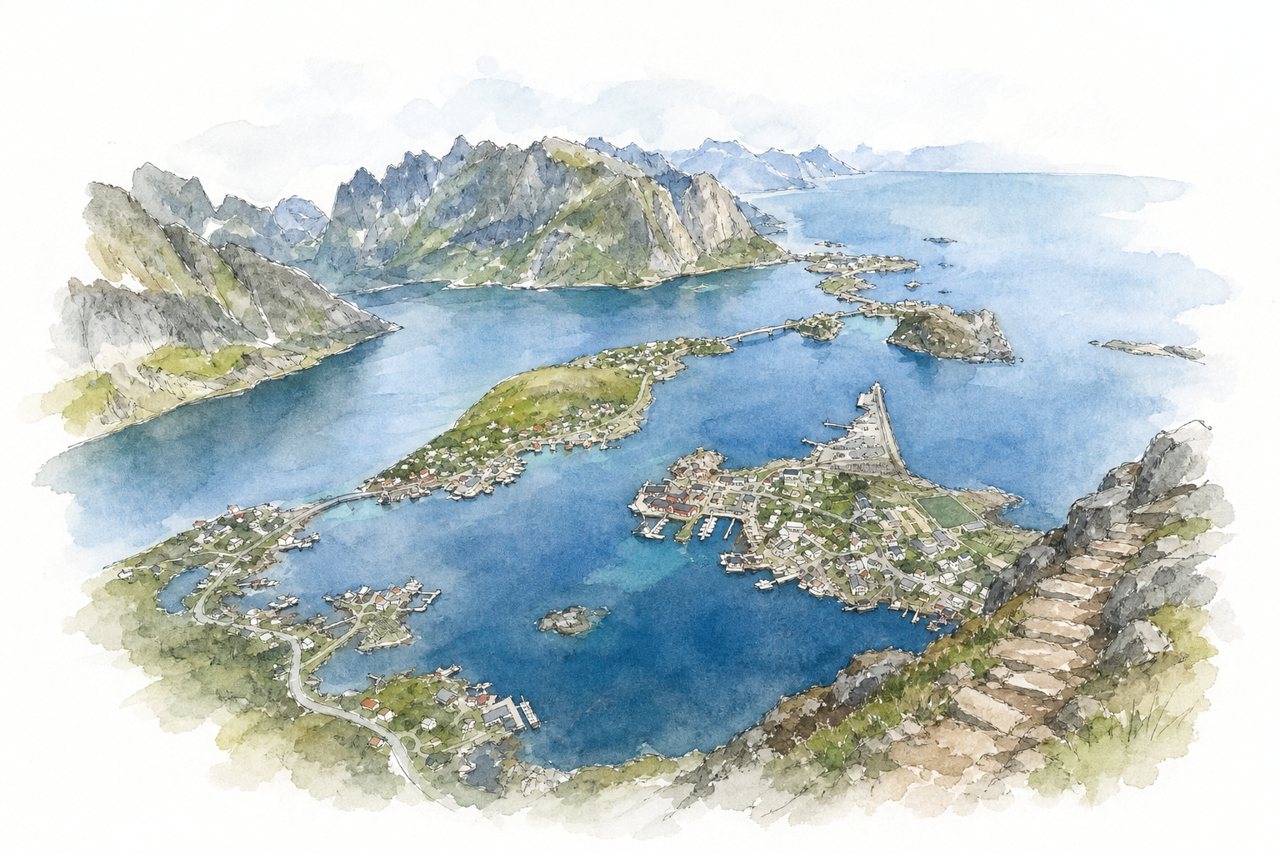
A stone staircase of nearly 2,000 Sherpa-built steps climbs the mountain above Reine to a summit at around 484 metres. From the top, the view takes in Reine's red houses, the fjords and the surrounding peaks, though the path itself stays on one side with little view change.
Highlights
- Panorama over Reine village
- Sherpa-built stone steps
- Unpaved summit ridge section
Good to know
- About 2,000 steps, 400-500 m ascent
- One to two hours up for most
- Steep, exposed sections; slippery when wet
-
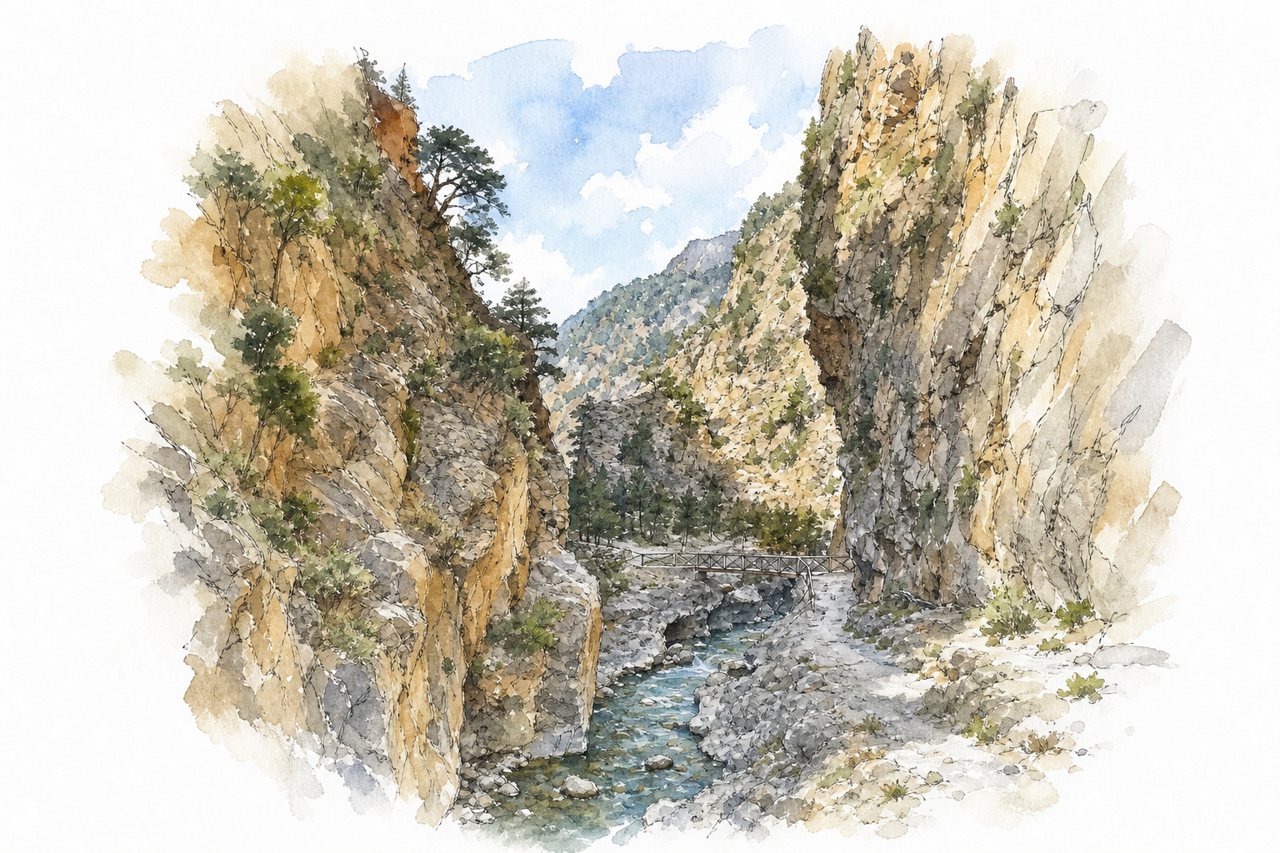
A day hike down a gorge in Crete's White Mountains, from the Omalos plateau near Xyloskalo to Agia Roumeli on the Libyan Sea. A steep, rocky descent of about 1,200 metres leads to a narrow lower section where the walls close in beside a stream.
Highlights
- Xyloskalo steep opening descent
- Abandoned village of Samaria
- Narrow lower gorge section
Good to know
- About 16 km downhill, roughly 5 hours
- Entry €10, parking €5–10
- Return by ferry and bus from Agia Roumeli
-
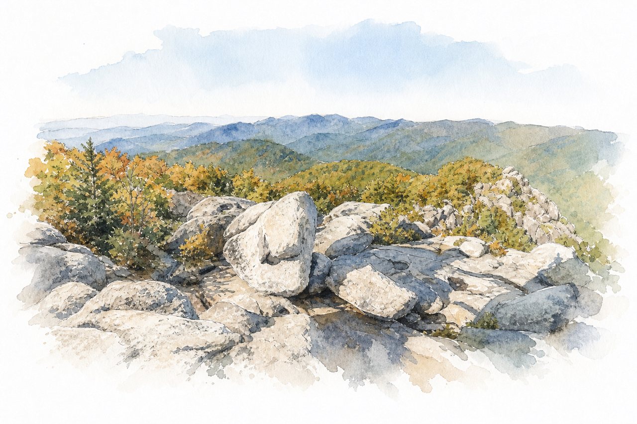
A loop hike of about nine miles in Shenandoah National Park, climbing through forest switchbacks to a granite summit with 360-degree views. Nearly a mile of hand-over-hand boulder scrambling, with tight squeezes and one-at-a-time passages, separates it from other park trails.
Highlights
- Forested switchback ascent
- Summit rock scramble
- Weakley Hollow Fire Road descent
Good to know
- About 9 miles, 5 to 9 hours
- Day pass reserved online in advance
- Clockwise loop recommended; scramble lines form
-
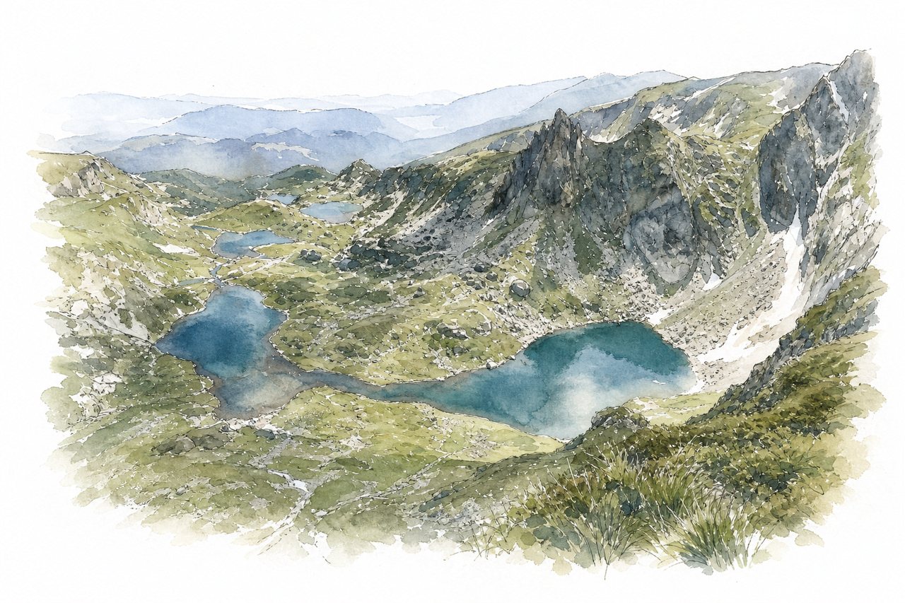
A loop hike in the Rila Mountains past seven glacial lakes, reached by chairlift to the Rila Lakes hut. Streams link each lake to the next one below, and a summit viewpoint above the last lakes shows all seven at once.
Highlights
- Kidney, Eye and Tear lakes
- Lake Peak summit viewpoint
- Steep ridgeline climb from hut
Good to know
- Chairlift about 20 minutes, round trip €16
- Full loop takes about 4–5 hours
- Arrive early; long chairlift queues in summer
-
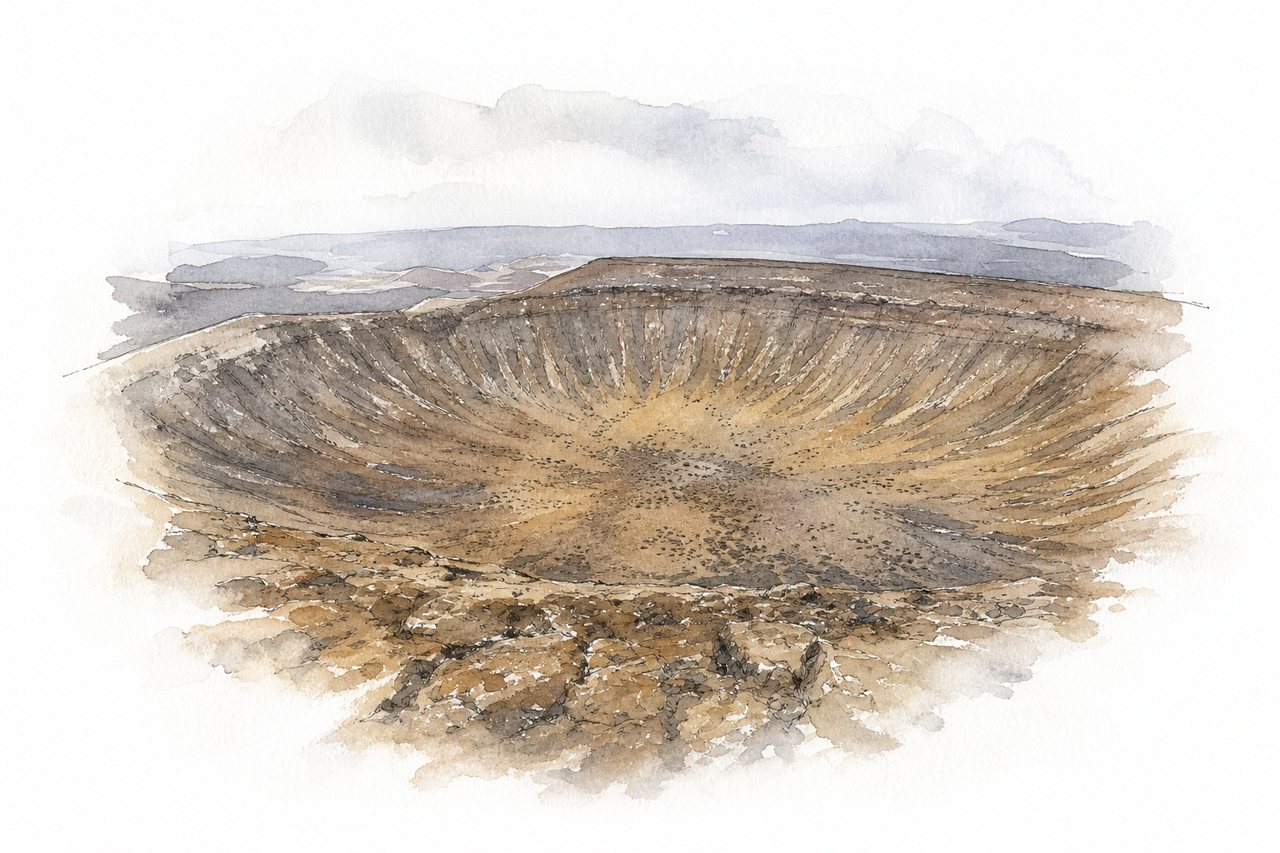
A day hike in Lanzarote crosses a rocky lava field, passes the smaller Caldereta cone and climbs to the rim of Caldera Blanca. A loop circles the wide crater above the lava fields, with views over Timanfaya National Park.
Highlights
- Lava field approach path
- Montaña Caldereta side crater
- Caldera Blanca crater rim
Good to know
- Loop about 10 km, 3 to 4 hours
- Small lot on bumpy dirt track
- Rim exposed to wind, slippery loose descent
-
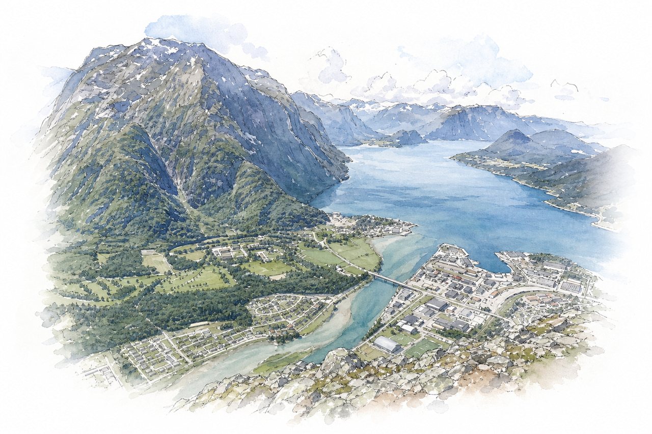
A one-way ridge hike above Åndalsnes, starting in Venjesdalen and ending at Rampestreken or the gondola. Chain-secured scrambles and narrow, exposed ridge sections give views over the Romsdal valley, the fjord and surrounding mountains.
Highlights
- Exposed ridge with chains
- Rampestreken viewpoint
- Blånebba summit detour
Good to know
- About 10 km, roughly 1000 m ascent
- Takes 4 to 9 hours
- Morning bus from Åndalsnes to Venjesdalen trailhead
-
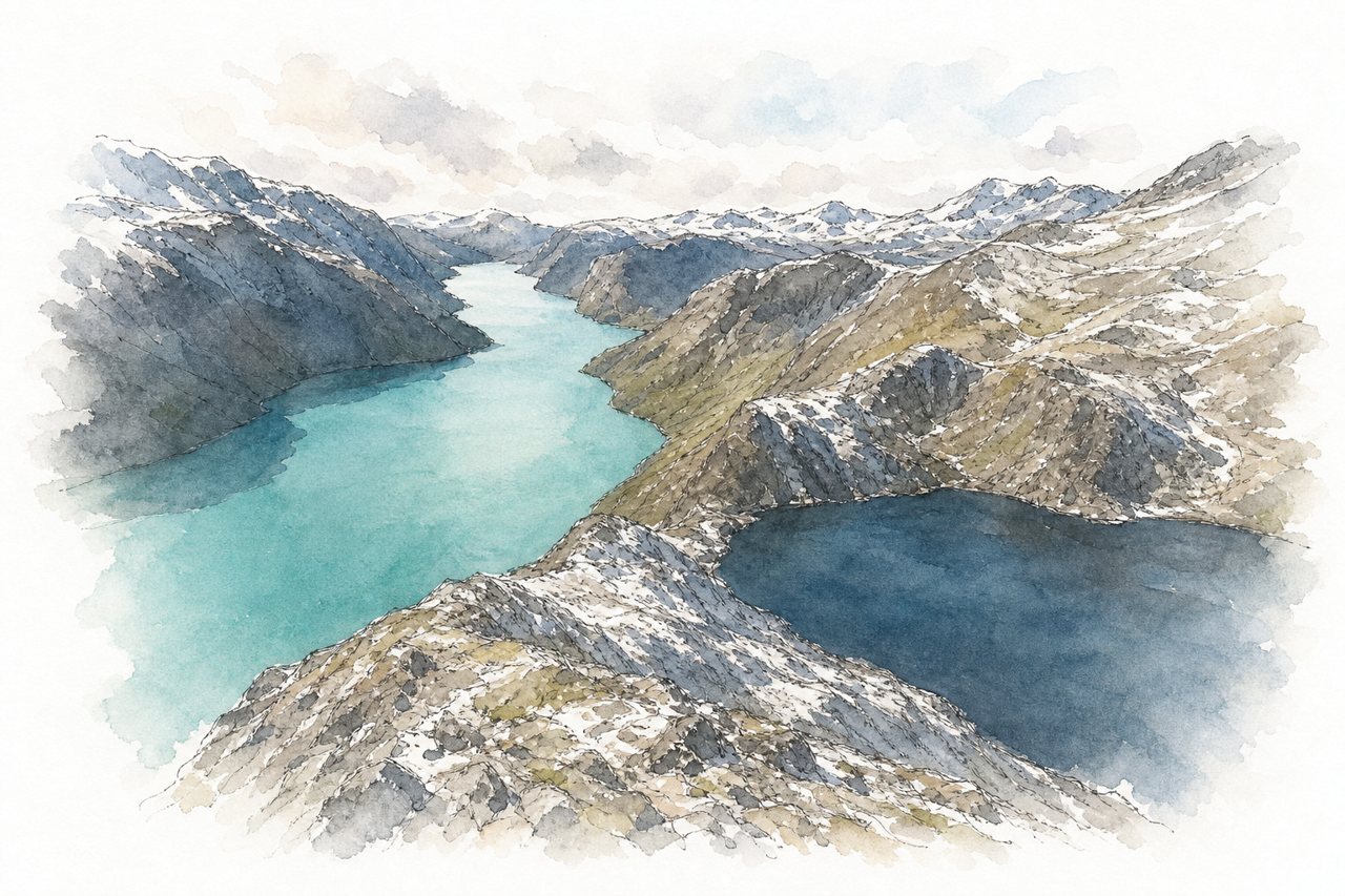
A ridge hike in Jotunheimen, usually done by taking the ferry from Gjendesheim to Memurubu and walking back over Besseggen. Midway, a steep, exposed scramble climbs the ridge above two lakes of different colours, one of them turquoise.
Highlights
- Besseggen ridge scramble
- Two different-coloured lakes
- Veslfjellet summit, 1,743 m
Good to know
- About 14 km, 6 to 8 hours
- Book ferry to Memurubu in advance
- Exposed hands-on climbing; hard with fear of heights
-
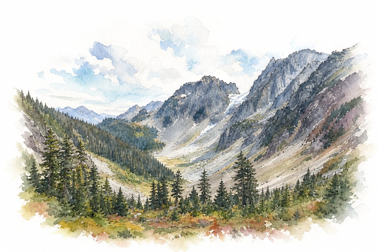
A day hike in North Cascades National Park climbing forested switchbacks to an alpine pass, with an optional extension up Sahale Arm toward Sahale Glacier. Above the forest the trail opens onto views of glaciers and peaks, with marmots, mountain goats, bears and fall color.
Highlights
- Forested switchbacks to Cascade Pass
- Sahale Arm rock scramble
- Sahale Glacier views
Good to know
- Pass about 7.5 miles round trip
- Long rough gravel road to trailhead
- Parking fills early; arrive by 6–7am
-
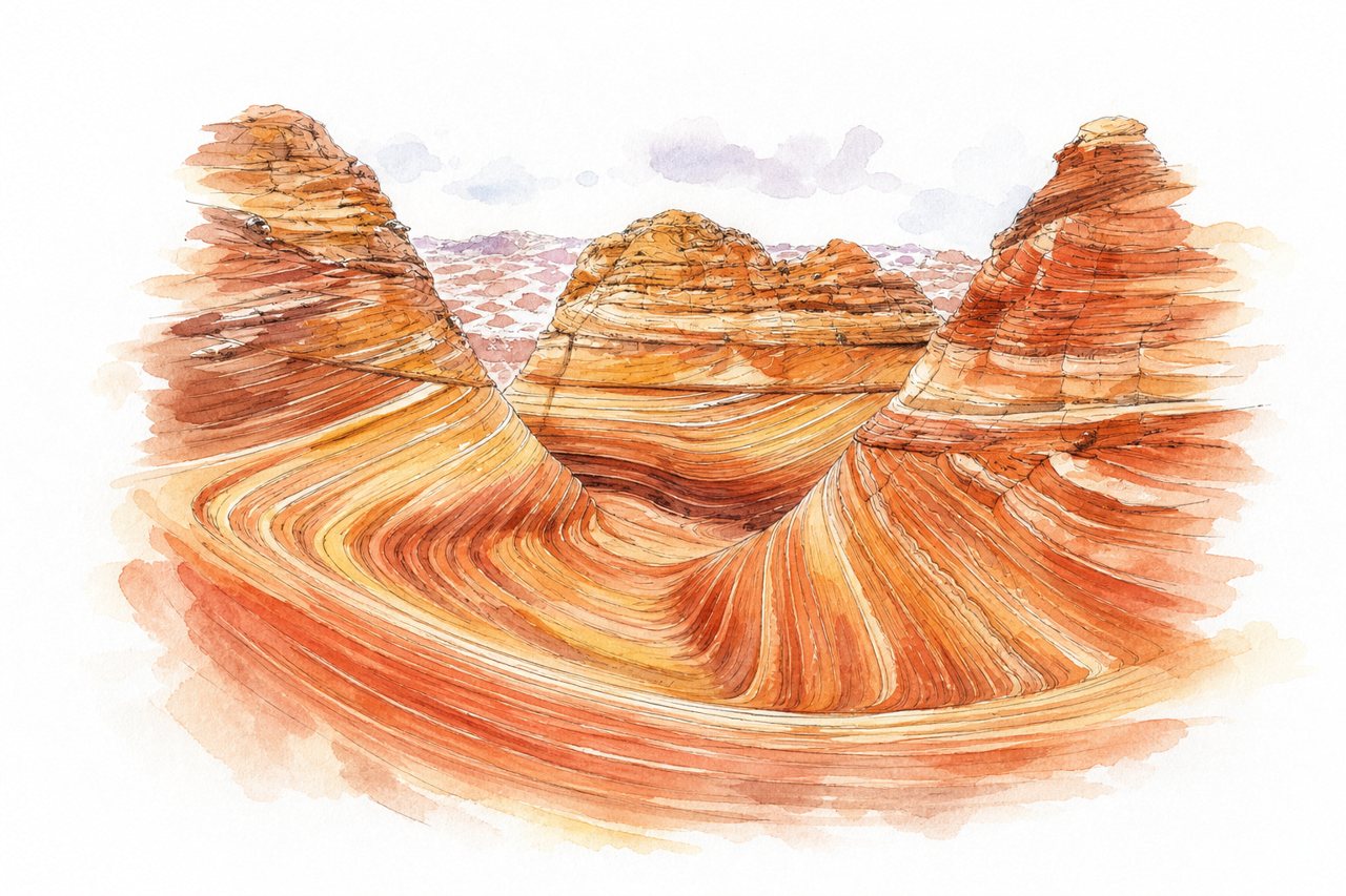
A sandstone formation in the Coyote Buttes North permit area of the Vermilion Cliffs, reached by a desert hike from the Wire Pass Trailhead. Swirling red and orange rock layers change color with the light, and a lottery permit limits daily visitors.
Highlights
- Swirling sandstone of the Wave
- Second Wave
- Melody Arch and slickrock
Good to know
- About 6 to 7 miles round trip
- Lottery permit required, rangers check
- 8-mile dirt road, impassable when wet
-
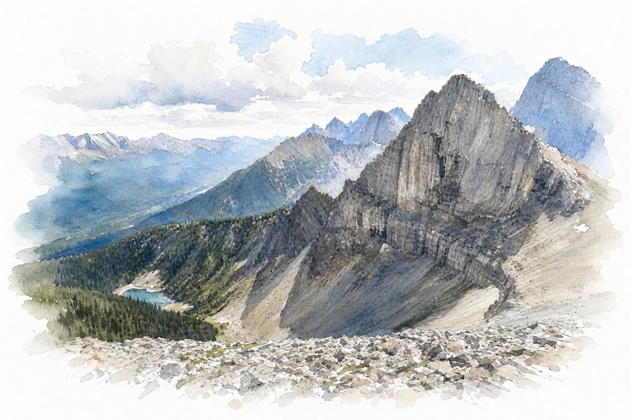
A loop hike of about 10 km in Kananaskis that climbs from forest onto a high ridge with roughly 800 m of ascent. A rock scramble with exposure sits on the ridge; clockwise is generally advised to climb it rather than downclimb.
Highlights
- Ridge walk above treeline
- Spray Lakes viewpoint
- Weather station scramble
Good to know
- About 10 km, 800 m ascent
- Takes 4 to 7 hours
- Gravel access road, small parking fills early
-
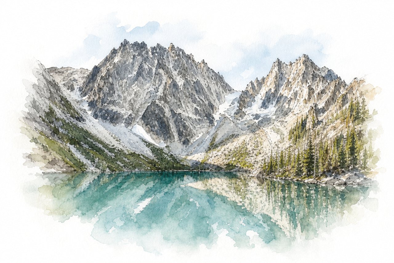
A thru-hike in the Alpine Lakes Wilderness runs from the Stuart Lake trailhead past Colchuck Lake to the Snow Lakes trailhead. Aasgard Pass climbs about 2,000 feet in under a mile to the Core Enchantments, a basin of alpine lakes, larches and mountain goats.
Highlights
- Colchuck Lake
- Aasgard Pass scramble
- Core Enchantments lakes
Good to know
- About 20 miles, 11 to 19 hours
- Ice and snow on Aasgard Pass
- Shuttle links Snow Lakes and Stuart trailheads
-
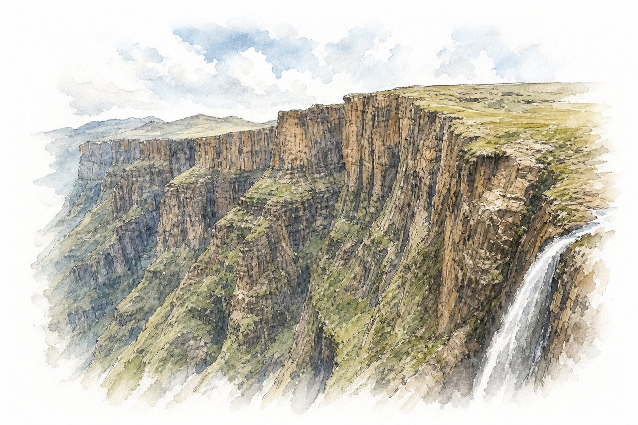
A day hike from Sentinel car park up to the top of the Drakensberg escarpment, ending at the top of Tugela Falls. The route climbs chain ladders up a cliff face and crosses a plateau with views over the Amphitheatre.
Highlights
- Chain ladders up the cliff
- Amphitheatre basalt cliffs
- Plateau above Tugela Falls
Good to know
- About 12 km return, 5 to 7 hours
- 4x4 road to car park; shuttle from Witsieshoek
- Conservation fee and hiking fee payable
-
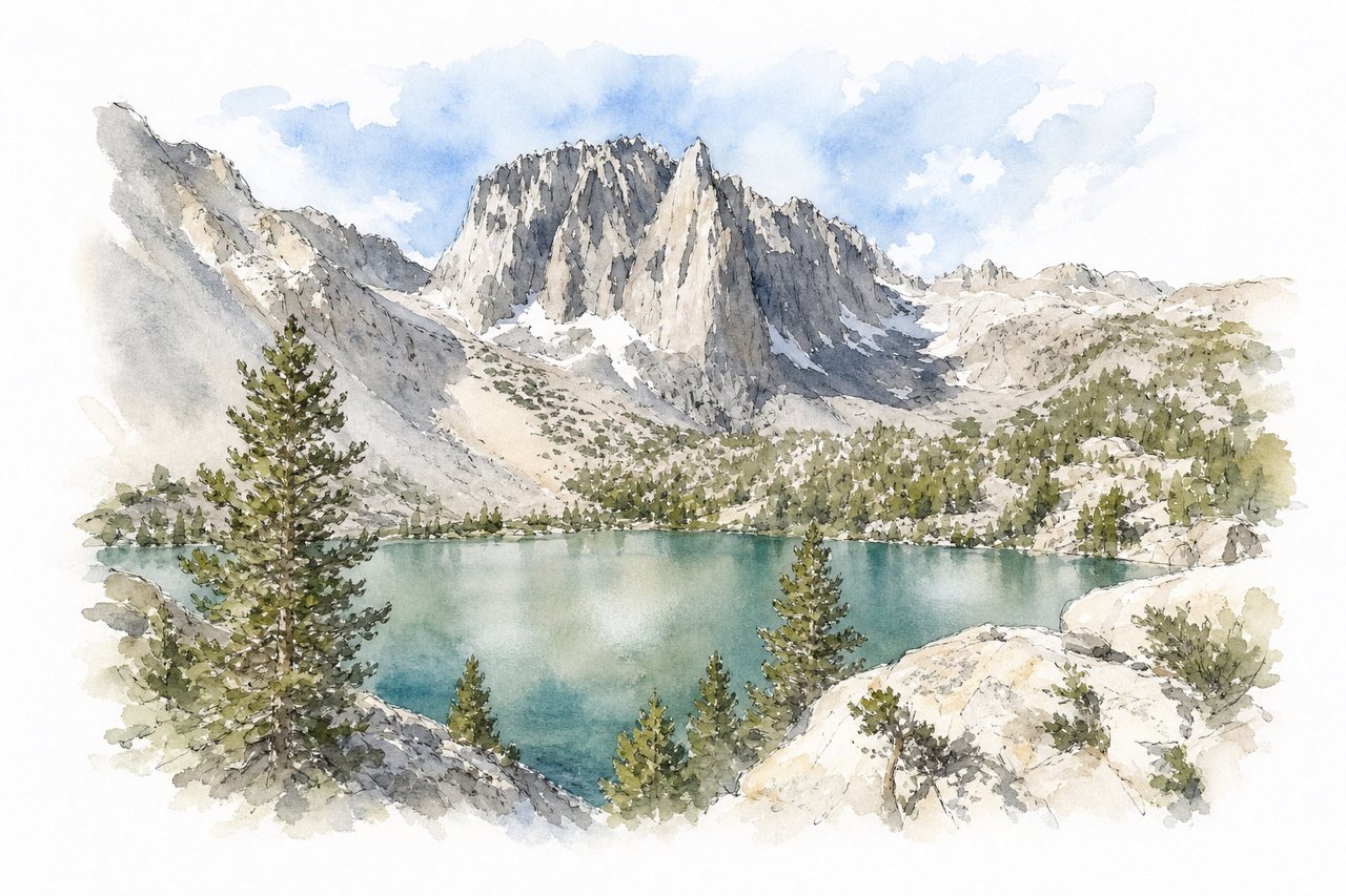
A trail in the Eastern Sierra climbs from Big Pine Creek to a chain of numbered glacial lakes, most of them green or blue. Second Lake is the common day-hike goal, and aspens turn yellow along the route in October.
Highlights
- Second Lake
- Fifth Lake
- October yellow aspens
Good to know
- About 10 miles round trip to Second Lake
- Steady climb, mostly exposed to sun
- Overnight stays require a wilderness permit
-
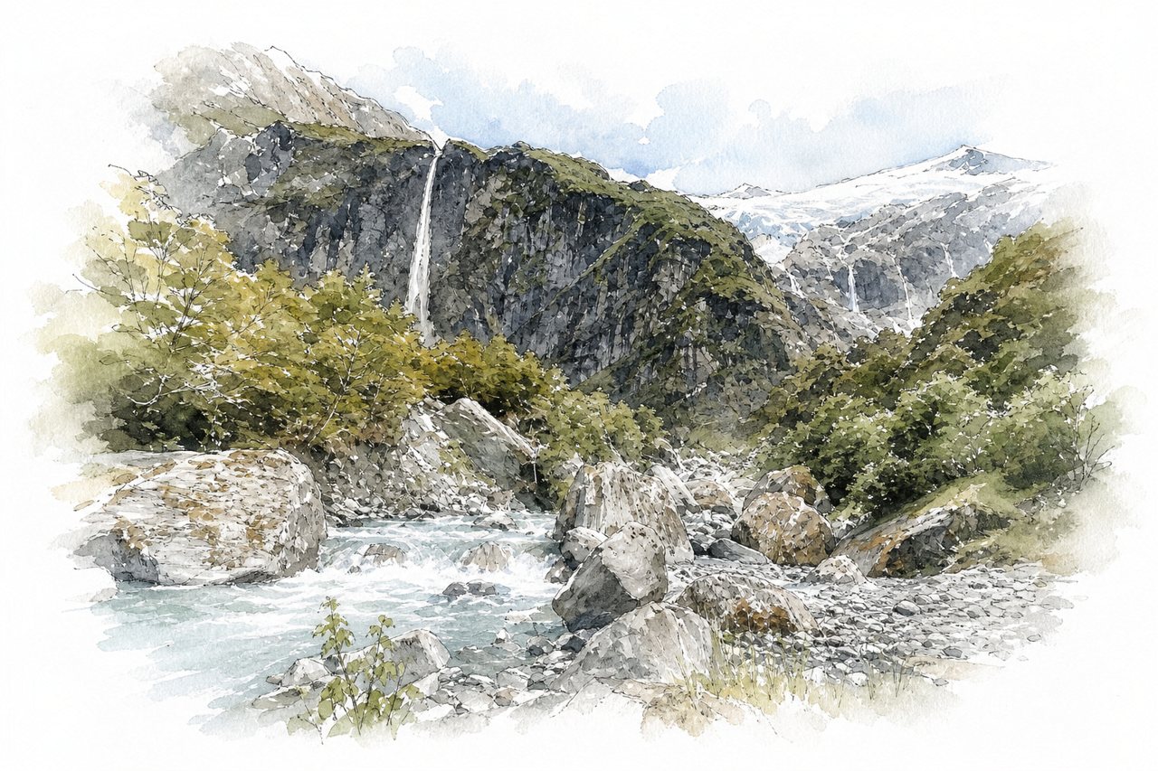
A day hike in Mount Aspiring National Park that crosses the Matukituki River and climbs through beech forest beside Rob Roy Stream. It ends at an upper lookout facing a hanging glacier with several glacial waterfalls.
Highlights
- Upper lookout glacier view
- Glacial waterfalls
- Suspension bridge over Matukituki
Good to know
- About 12 km return, 3 to 4 hours
- 30 km gravel road with fords
- Fords can be impassable after rain
-
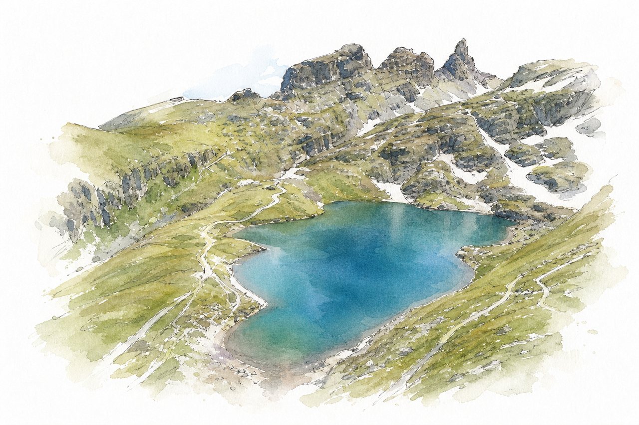
A one-way mountain trail above the tree line links five lakes between the Pizolhütte and Gaffia station, reached by three lifts from Wangs. Turquoise and deep blue lakes, steep scree descents and views of the Glarus Alps and Sardona mark the route.
Highlights
- Wildsee and its steep climb
- Schottensee
- Scree descent toward Gaffia
Good to know
- About 11-13 km, 4-6 hours on foot
- Last lift from Gaffia leaves at 16:30
- Parking at Wangs costs 5 CHF per day
-
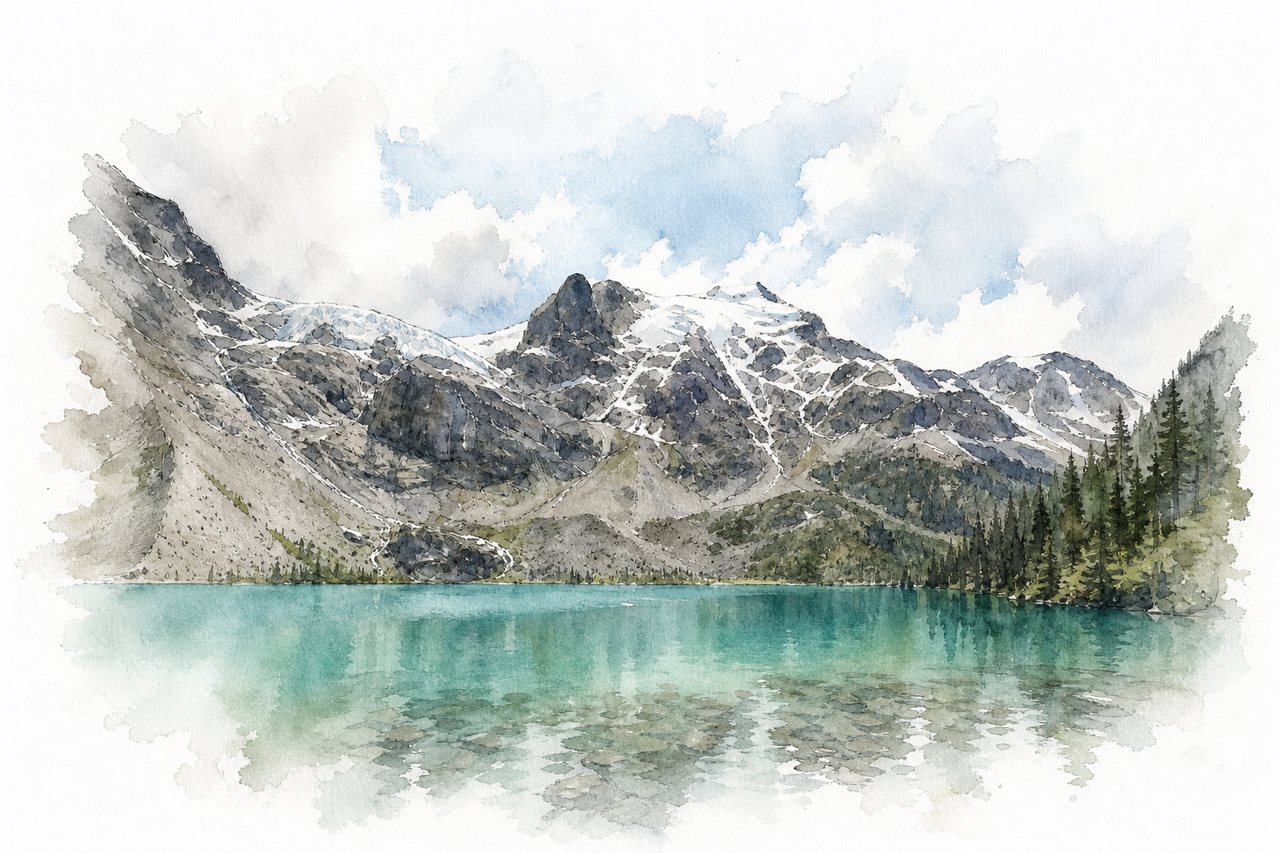
A trail climbs through forest to three glacier-fed lakes, with Lower Lake a few minutes from the parking lot. The water turns more turquoise at each lake, and Upper Lake sits below glacier-covered peaks.
Highlights
- Middle Joffre Lake
- Upper Lake glacier views
- Holloway Falls
Good to know
- Free day pass, booked two days ahead
- About 4 hours round trip, 370 m gain
- Steep climb between first and second lakes
-
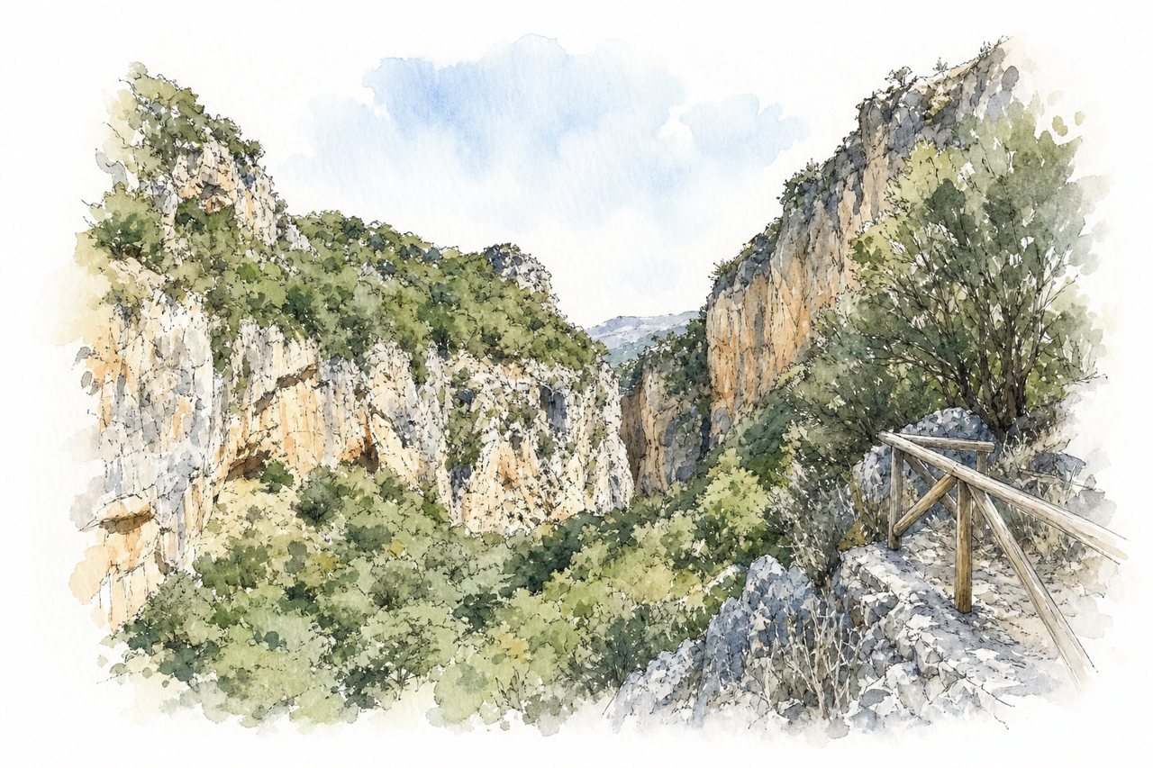
A narrow gorge in Crete with a rock-cut chapel of Agios Antonios near the entrance and a stream under plane and oak trees. Beyond an easy first section, the trail uses ladders, ropes and boulders, with wading that can reach thigh or waist depth in spring.
Highlights
- Agios Antonios cave chapel
- Ladders and rope sections
- Reservoir at northern end
Good to know
- About 4 km one way, 2 hours
- Free entry and parking, taverna at entrance
- No shuttle back; road return unshaded
-
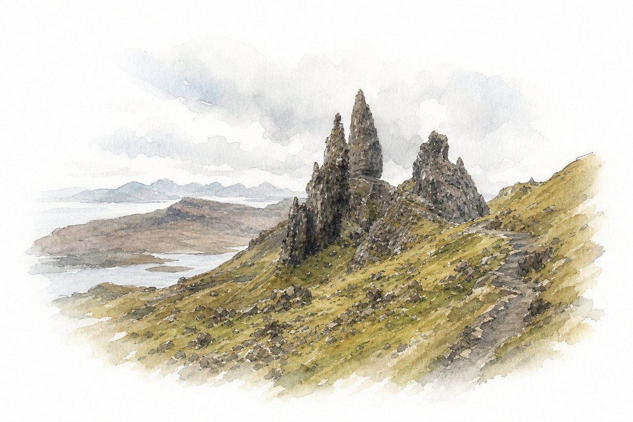
A steep day hike on Skye from a paid car park up to the Old Man of Storr and its basalt pinnacles. Two starting paths join below the rock, and a viewpoint above looks over the Sound of Raasay and the loch below.
Highlights
- Old Man of Storr pinnacle
- Upper viewpoint above pinnacles
- Rock staircase path
Good to know
- Round trip about 1.5 to 3 hours
- Parking fee around £6, fills early
- Wind, rain and slippery steep steps
-
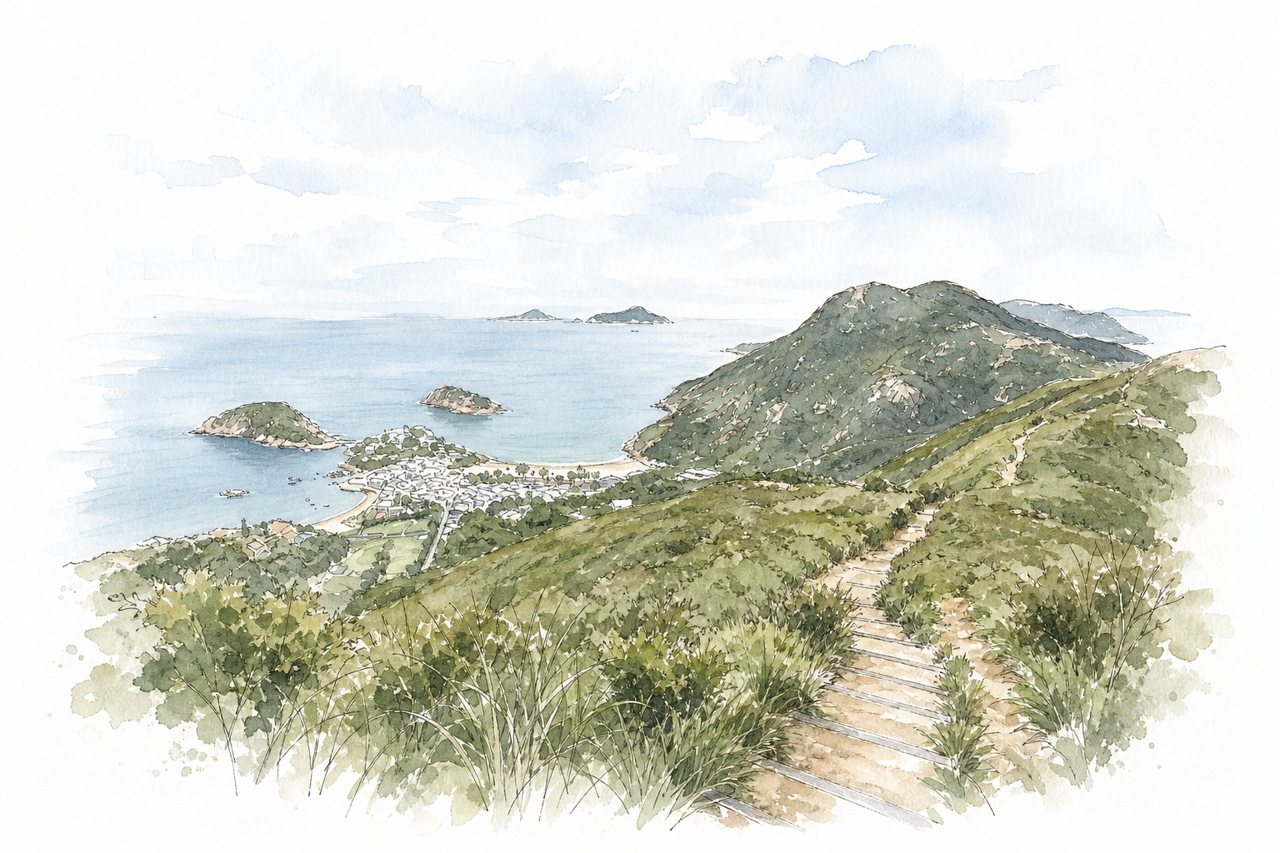
A ridge walk on Section 8 of the Hong Kong Trail in Shek O Country Park, reached by bus 9 from Shau Kei Wan MTR. Its undulating spine gives open views over Shek O, Big Wave Bay and Stanley, and the route ends at a surf beach.
Highlights
- Undulating Dragon's Back ridge
- Ta Lan Ting Shan summit
- Big Wave Bay beach
Good to know
- About 8 km, 2.5 to 4 hours
- Steep stone stairs at To Tei Wan start
- Little shade, no water sold en route
-
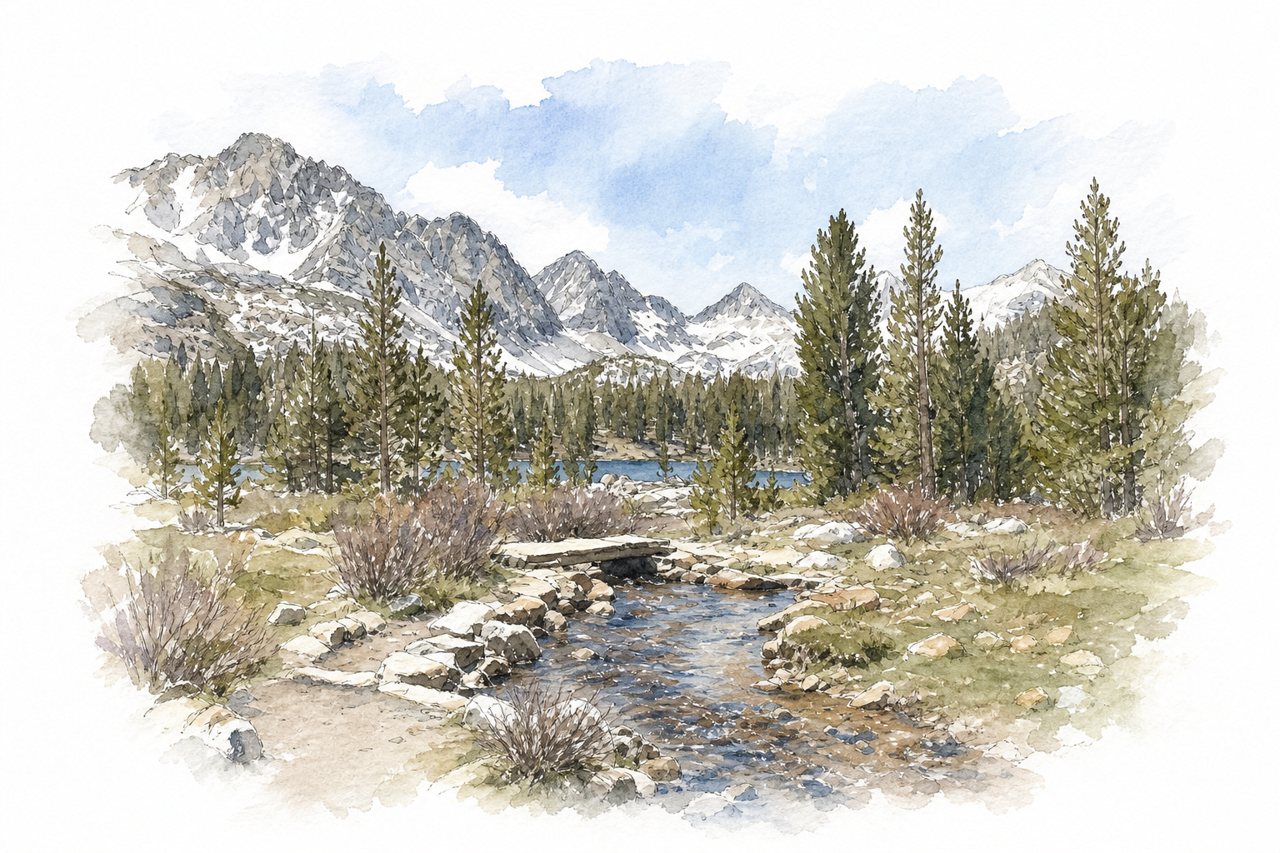
An out-and-back trail from a high trailhead at about 10,300 feet climbs gently past a chain of alpine lakes in the John Muir Wilderness. Snow-capped peaks and cliffs rise above the lakes, meadows and streams, and hikers can turn back at any lake.
Highlights
- Gem Lakes at trail's end
- Long Lake
- Marsh Lake reflections
Good to know
- Gem Lakes round trip nearly 8 miles
- Parking fills early, arrive before 8 am
- Limited shade, mosquitoes heavy in early summer
-
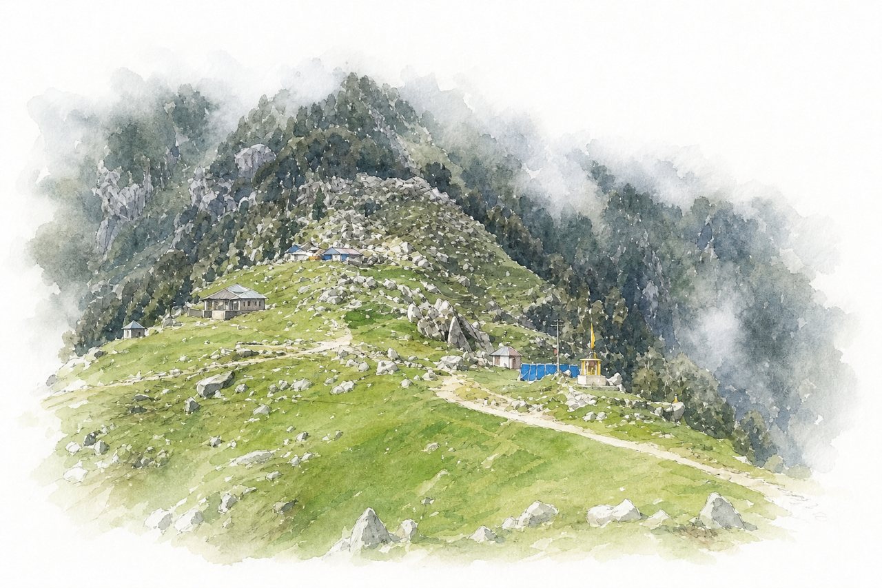
A trek of roughly 8–9 km one way from McLeod Ganj, Dharamkot or Bhagsu, climbing through oak and rhododendron forest to a grassy ridge. The ridge faces the snow-capped Dhauladhar range on one side and the Kangra Valley on the other, with overnight tent camping.
Highlights
- Dhauladhar range from the ridge
- Oak and rhododendron forest
- Final 22 curves section
Good to know
- About 8–9 km one way
- Roughly 3–6 hours up, 2–3 down
- Last stretch steep, weather changes fast
-
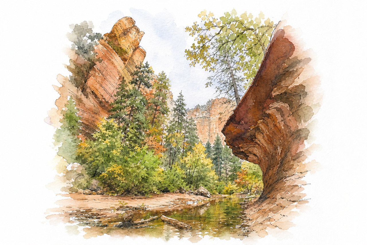
A shaded out-and-back trail follows the West Fork of Oak Creek through a narrow canyon of red rock walls and forest. It crosses the creek 13 times on stones and logs, and fall leaves color the canyon in late October.
Highlights
- Thirteen creek crossings
- Mayhew Lodge ruins
- Wading beyond trail's end
Good to know
- About 3.3 miles each way, mostly flat
- $15 parking fee, lot fills early
- Expect wet feet; cooler, shaded canyon
-
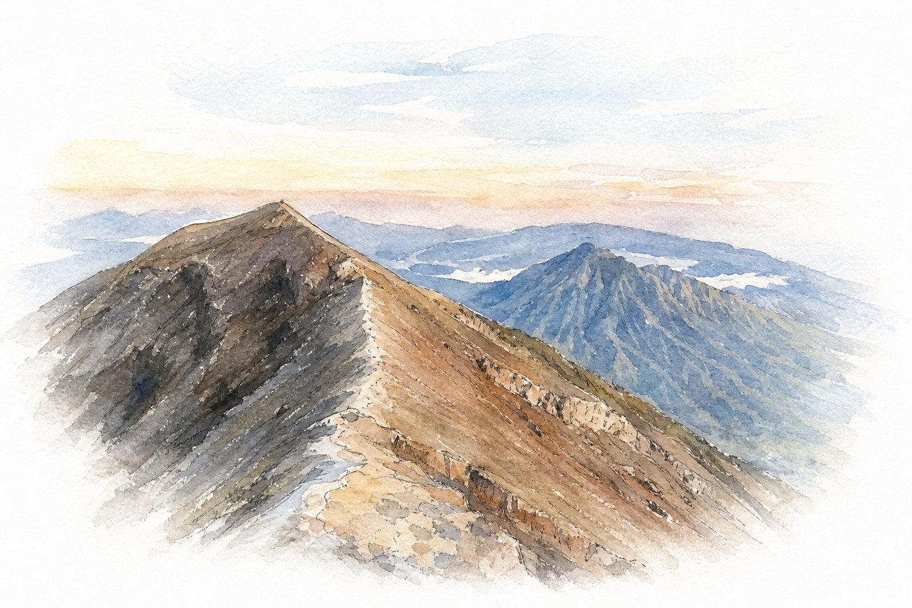
Bali's highest volcano, climbed overnight from temple basecamps such as Pura Pasar Agung and Pura Besakih to reach the crater for sunrise. Steep forest gives way to loose rock and hand-over-hand scrambling, with summit views to Mount Rinjani.
Highlights
- Sunrise from the summit
- Crater and Mount Rinjani view
- Rocky scramble near summit
Good to know
- Pasar Agung route: about 4 hours up
- Night start around midnight to 2 AM
- Descent on loose, slippery rock
-
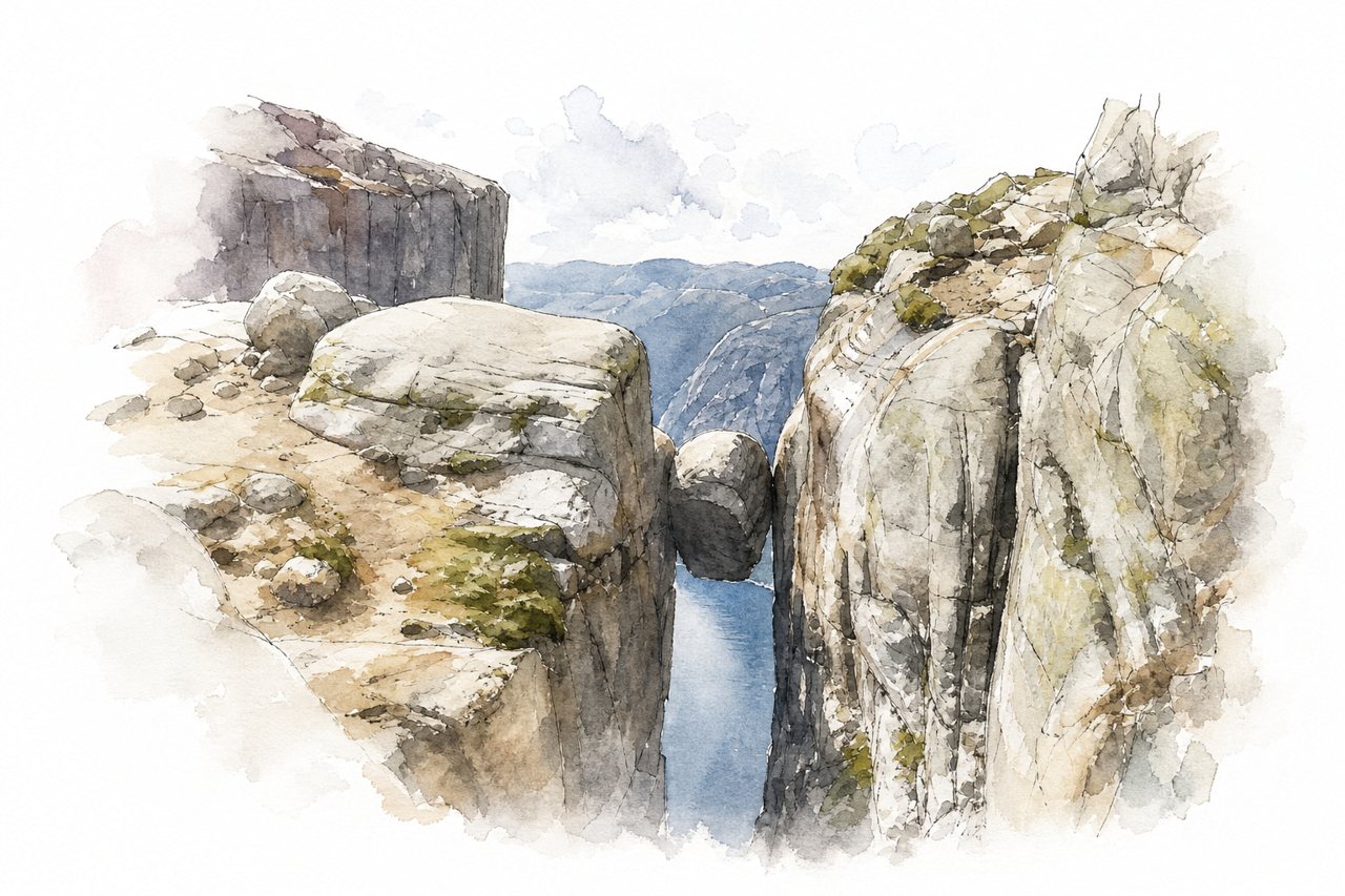
A marked hiking trail from the Øygardstøl parking lot crosses three steep granite climbs to a boulder wedged between two cliffs above Lysefjord. Chains secure the smooth rock sections, and a step onto the boulder hangs over a drop of about 1,000 metres.
Highlights
- Chained first climb
- Granite plateau
- Lysefjord viewpoint near boulder
Good to know
- About 10 km round trip, 4-6 hours
- Parking costs 300 NOK, no trail toilets
- Chained rock dangerously slippery when wet
-
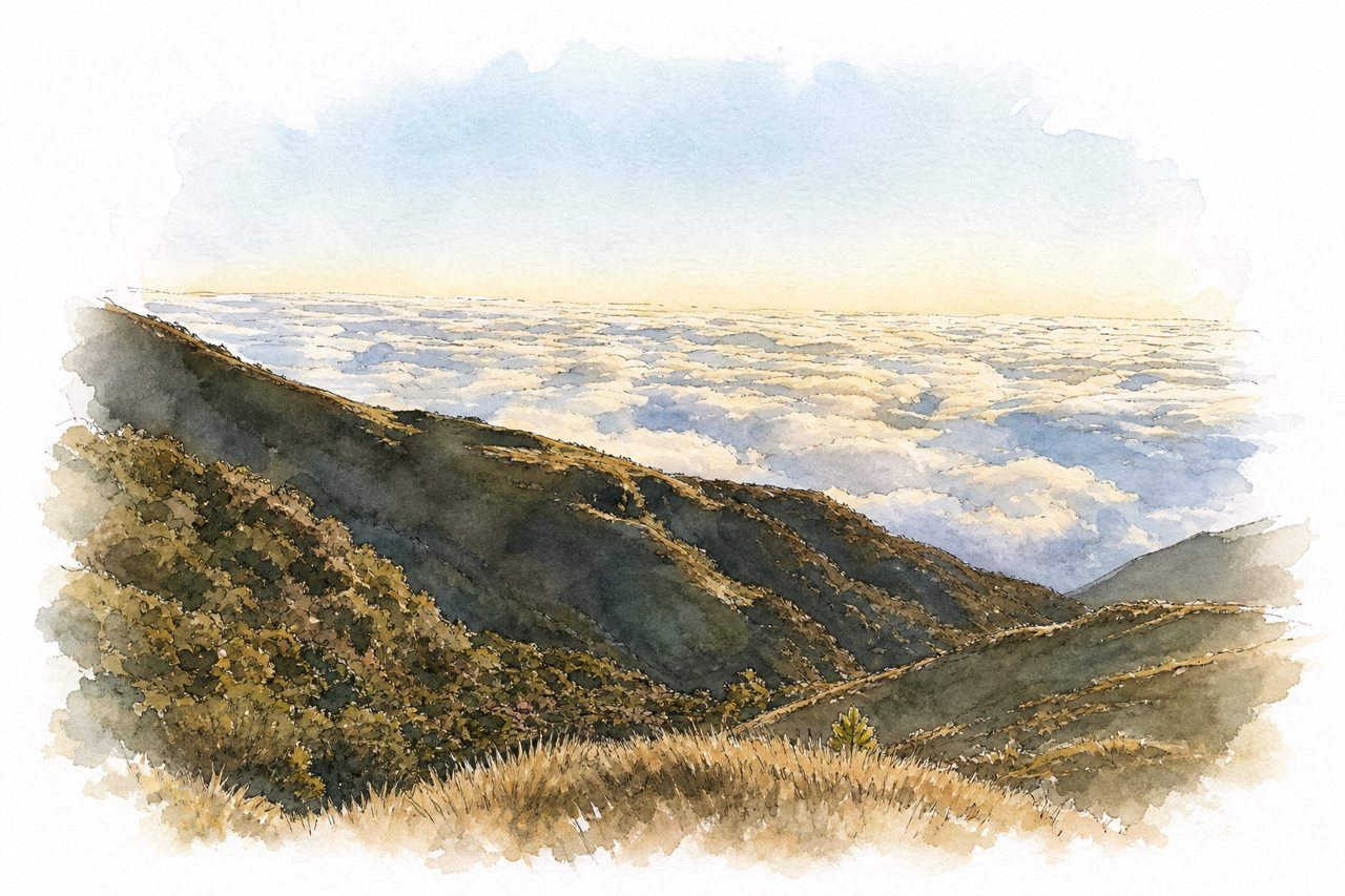
A mountain hike in Benguet to the highest peak in Luzon, usually started in the early hours to reach the summit by sunrise. The trail passes from pine forest through mossy forest to dwarf bamboo grasslands, where a sea of clouds often covers the valleys.
Highlights
- Sea of clouds at sunrise
- Mossy forest section
- Dwarf bamboo grassland summit
Good to know
- Mandatory guide, medical clearance and entrance fees
- Ambangeg Trail round trip around 7–12 hours
- Muddy, slippery trail; cold, windy, often rainy summit
-
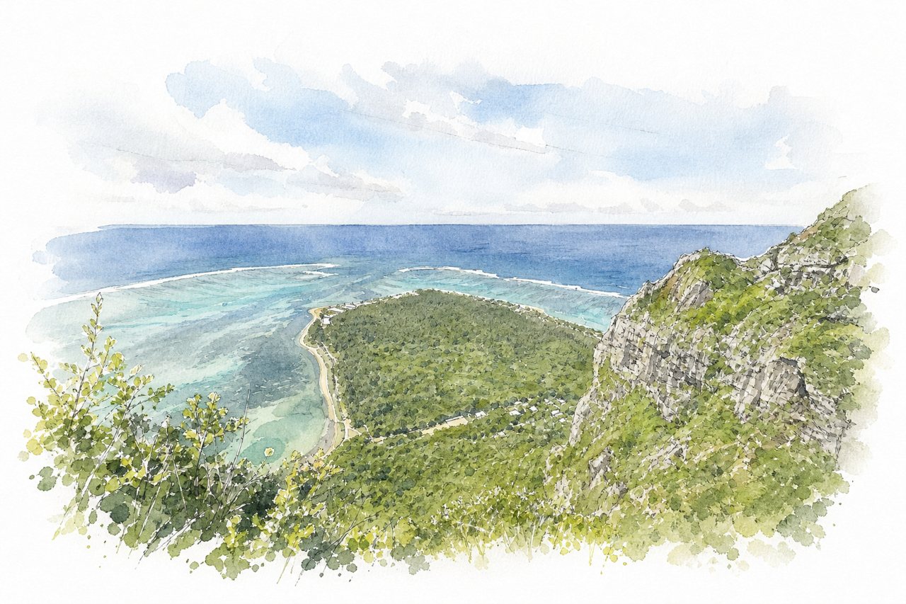
A basalt mountain on the southwestern tip of Mauritius, climbed on an out-and-back trail from a dirt-road trailhead. An easy lower walk to lagoon viewpoints gives way, past a gate and warning signs, to a steep hands-on scramble to the summit cross.
Highlights
- Lagoon viewpoint at the plateau
- Scramble beyond the gate
- Summit cross view
Good to know
- About 3 hours round trip
- Sign the logbook at the gate
- Upper section slippery and dangerous when wet
-
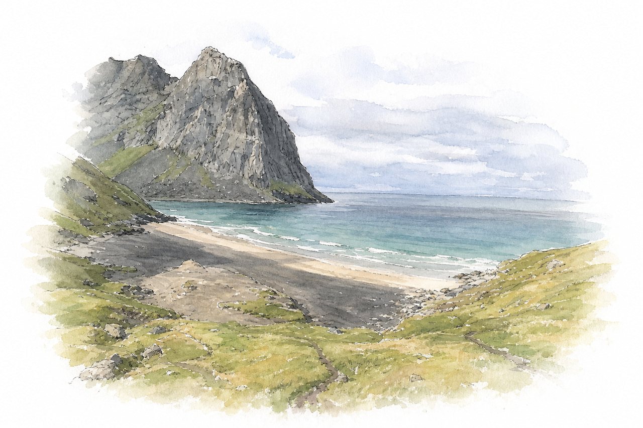
A sand beach between steep mountains on the Lofoten coast, reached only on foot over a pass from the road near Fredvang. Rocky, muddy trails lead down to black and white sand, with camping on the beach and a side climb to Ryten.
Highlights
- Pass above the bay
- Ryten summit
- Driftwood cabin on beach
Good to know
- About 2 km, one hour each way
- Small parking area fills early
- Steep rocky descent, slippery when wet
-
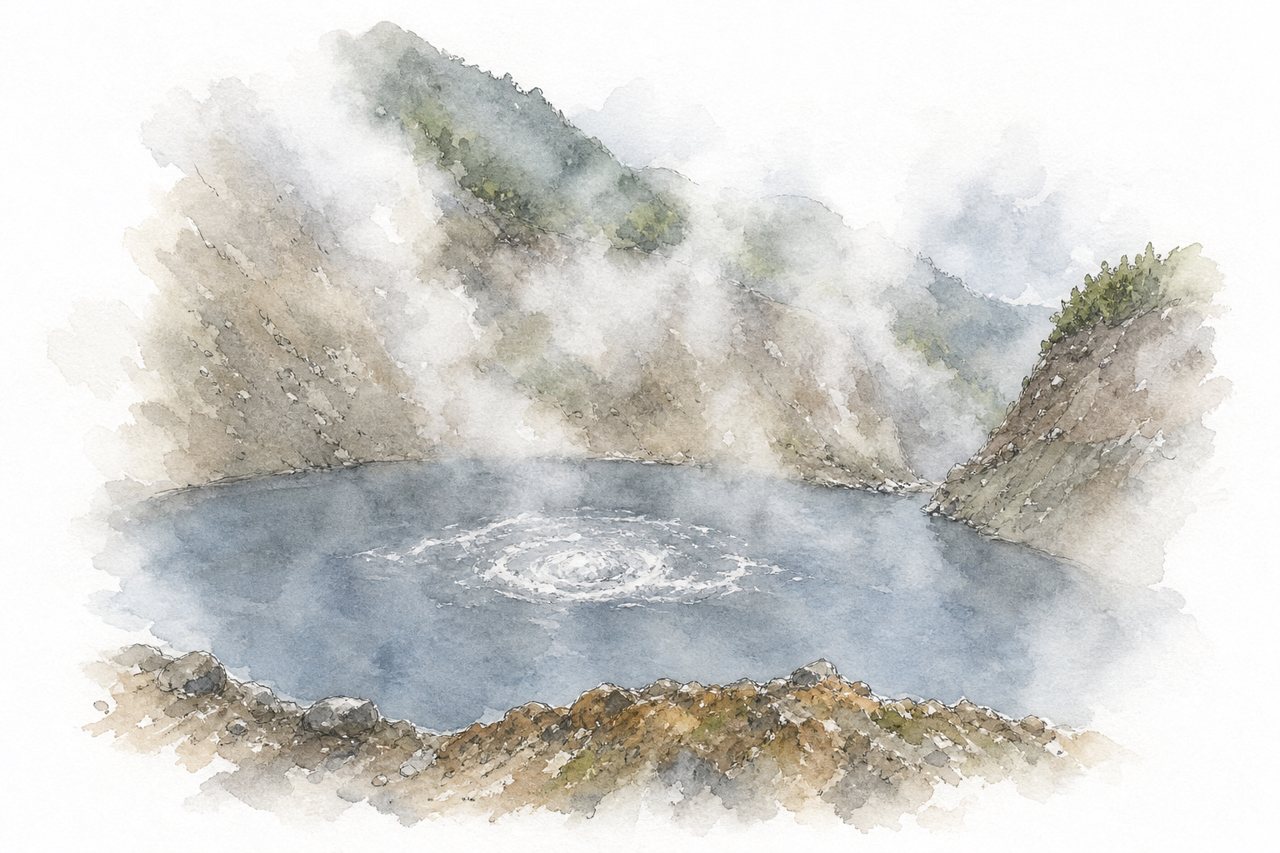
A day hike through rainforest in Morne Trois Pitons National Park, crossing the Valley of Desolation to a flooded fumarole of grey-blue water under steam. The trail is muddy, steep and slippery, with stream crossings, scrambles and hot springs for a soak.
Highlights
- Valley of Desolation
- Steaming Boiling Lake
- Hot springs and sulphur river
Good to know
- About 10–12 km return, roughly 1000 m ascent
- Six to seven hours; start early
- Guide checkpoint at trailhead; park pass needed
-
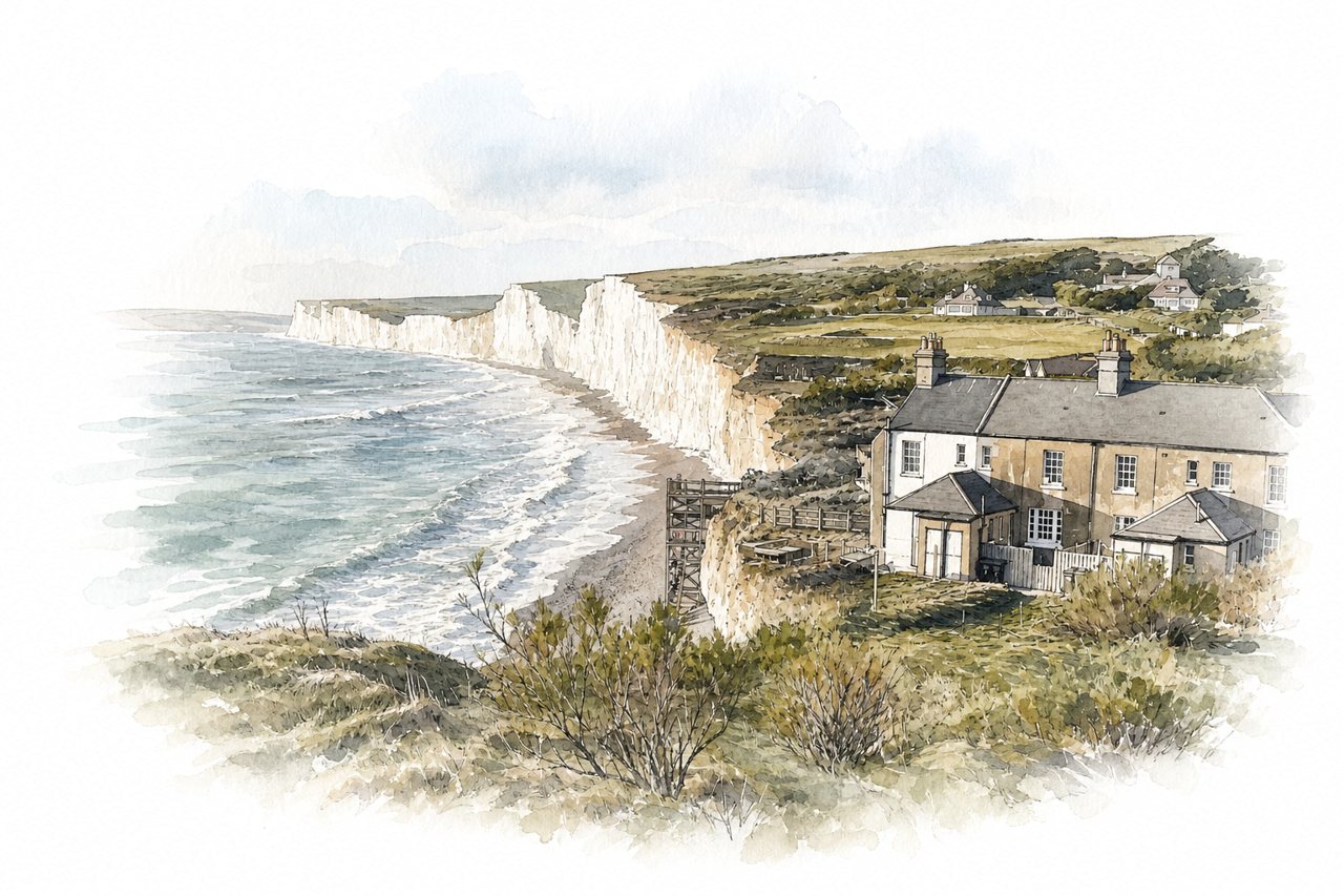
A coastal walk along white chalk cliffs on the South Downs, between Seaford and Eastbourne. The path climbs and drops over each cliff summit in turn, with green downland inland and a pebble beach below.
Highlights
- Chalk cliff tops
- Birling Gap beach stairs
- Lighthouse approach to Eastbourne
Good to know
- Repeated steep climbs; wear shoes with grip
- No shelter; strong wind and sun exposure
- Buses 12X and 13X; infrequent service
-
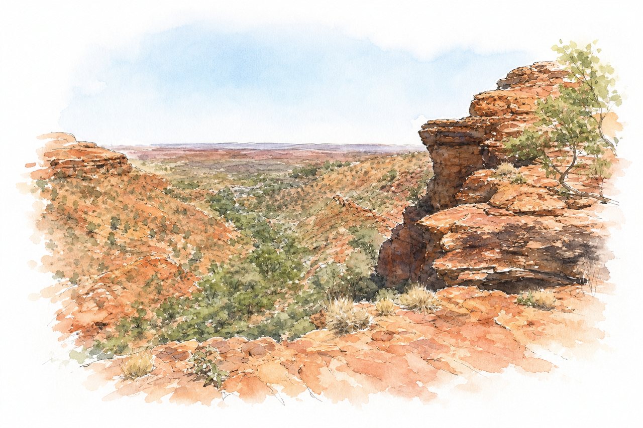
A 6 km loop trail climbs onto the sandstone rim of a canyon in Watarrka National Park, Northern Territory. A steep stair climb at the start gives way to mostly flat walking past rock domes, cliff-edge views and the Garden of Eden waterhole.
Highlights
- Initial 500-step climb
- Garden of Eden waterhole
- Lookout detour and domes
Good to know
- 6 km loop, about 3 hours
- Closes early on days forecast 36°C+
- NT park pass bought online beforehand
-
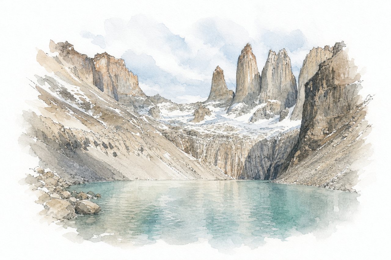
A day hike of about 20 to 22 km round trip to a viewpoint below three granite towers rising above a glacial lagoon. The final kilometre climbs steeply over boulders and moraine, and the trail is often crowded and windy.
Highlights
- Refugio Chileno halfway stop
- Forest section after the refuge
- Glacial lagoon below the towers
Good to know
- About 22 km round trip, 8–9 hours
- Rangers close access from 2–3 PM
- Park ticket plus cash shuttle to trailhead
-
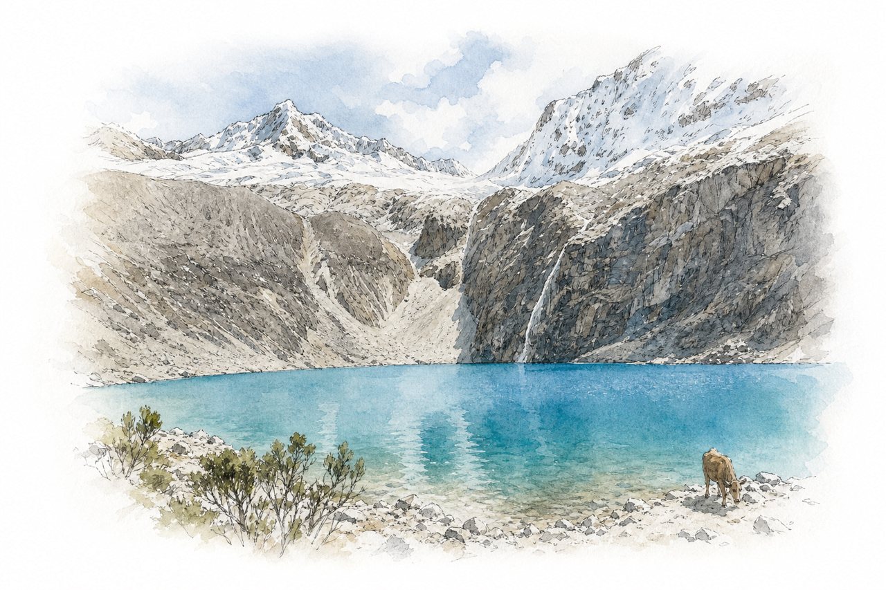
A glacial lake at about 4,600 m in Huascarán National Park, reached by a 7 km trail from Cebollapampa. Turquoise water sits below snow-capped peaks, and the route passes streams, waterfalls, grazing cattle and Laguna Consuelo.
Highlights
- Laguna Consuelo
- Steep final climb to lake
- Flat valley start
Good to know
- 7 km each way, about 3 hours up
- Park entrance 30 soles for foreigners
- Guide now required, mostly tours from Huaraz
-
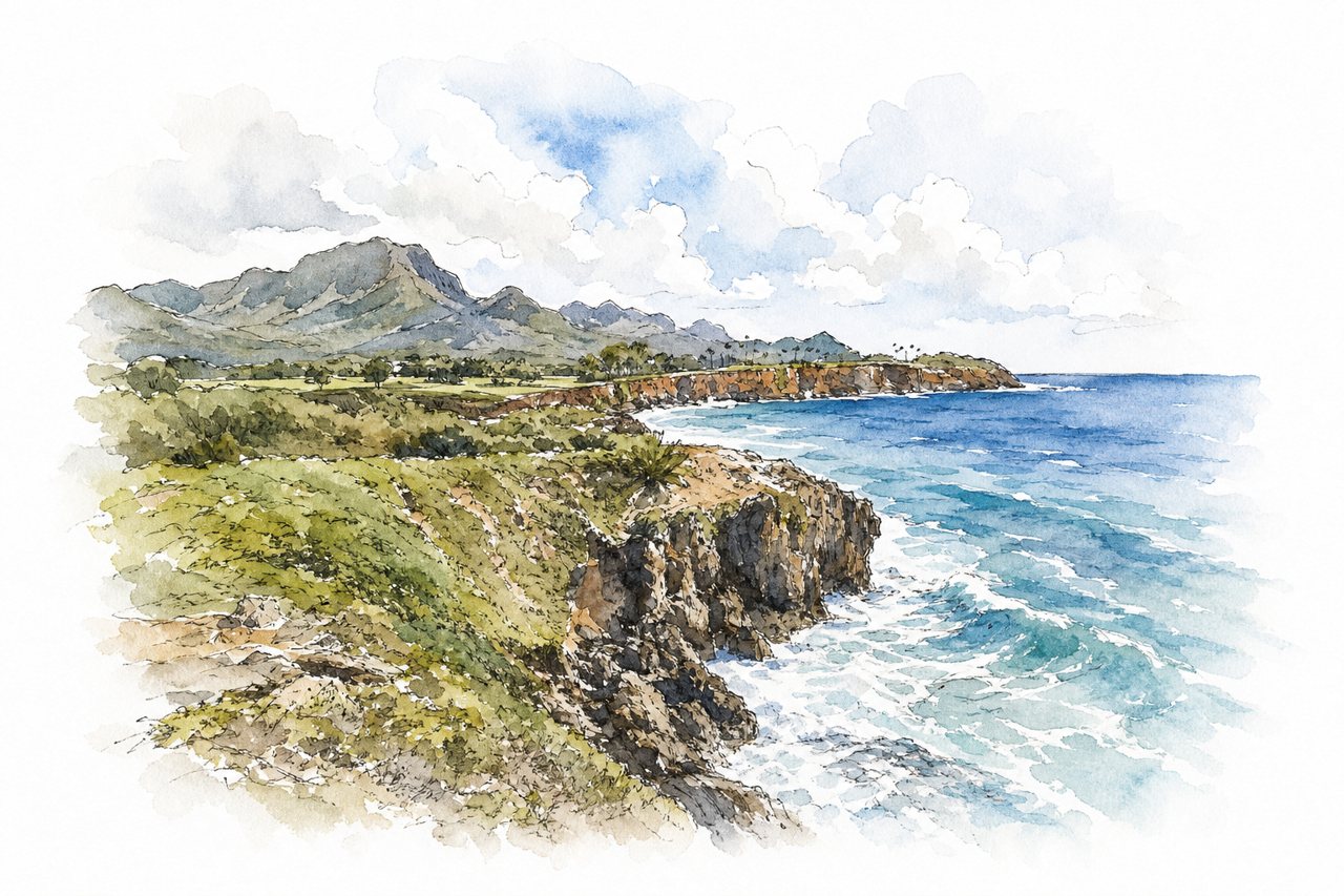
A mostly flat coastal trail on Kauai's south shore runs from Shipwreck Beach along cliffs and past a golf course toward Makauwahi Cave and secluded beaches. Parallel cliffside and inland paths branch and rejoin, and sea turtles and monk seals often appear along the way.
Highlights
- Cliffside bluff path
- Makauwahi Cave Reserve
- Poipu Golf Course section
Good to know
- About 4 miles round trip, roughly 2 hours
- Small lot at Shipwreck Beach fills early
- Exposed to sun, no water along trail
-
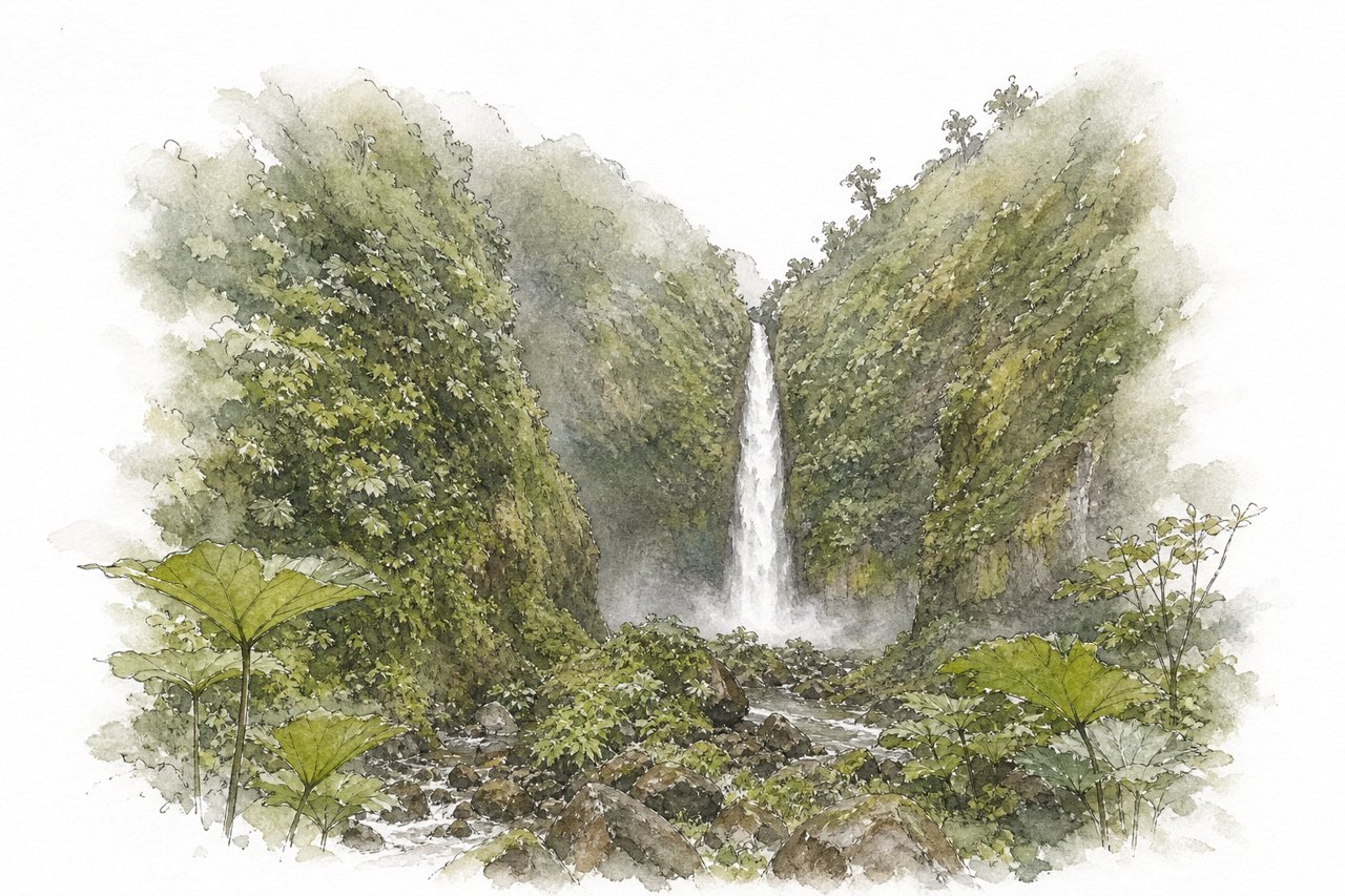
A privately run trail near Cinchona drops through cloud forest to four waterfalls, ending at San Fernando at the canyon bottom. Fixed ropes aid the steep sections, two falls have swimming pools, and spray soaks visitors at the base of San Fernando.
Highlights
- San Fernando Waterfall base
- Swimming pools at two falls
- Hummingbird garden at entrance
Good to know
- About 2 to 3.5 hours for all falls
- $20 per person, cash, waiver required
- Steep, slippery sections with ropes; wear boots
-
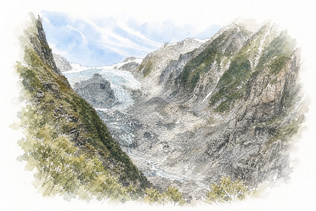
A 12 km return tramping track from the Franz Josef Glacier car park through rainforest to a viewing platform facing the glacier. The route crosses four suspension bridges, a staircase on a cliff face, streams and steep rock scrambles.
Highlights
- Glacier viewing platform with benches
- Long swing bridges
- Cliff-face staircase
Good to know
- About 12 km return, 4 to 6 hours
- Parking NZD 5 per hour, NZD 20 max
- Slippery rock; avoid during or after rain
-
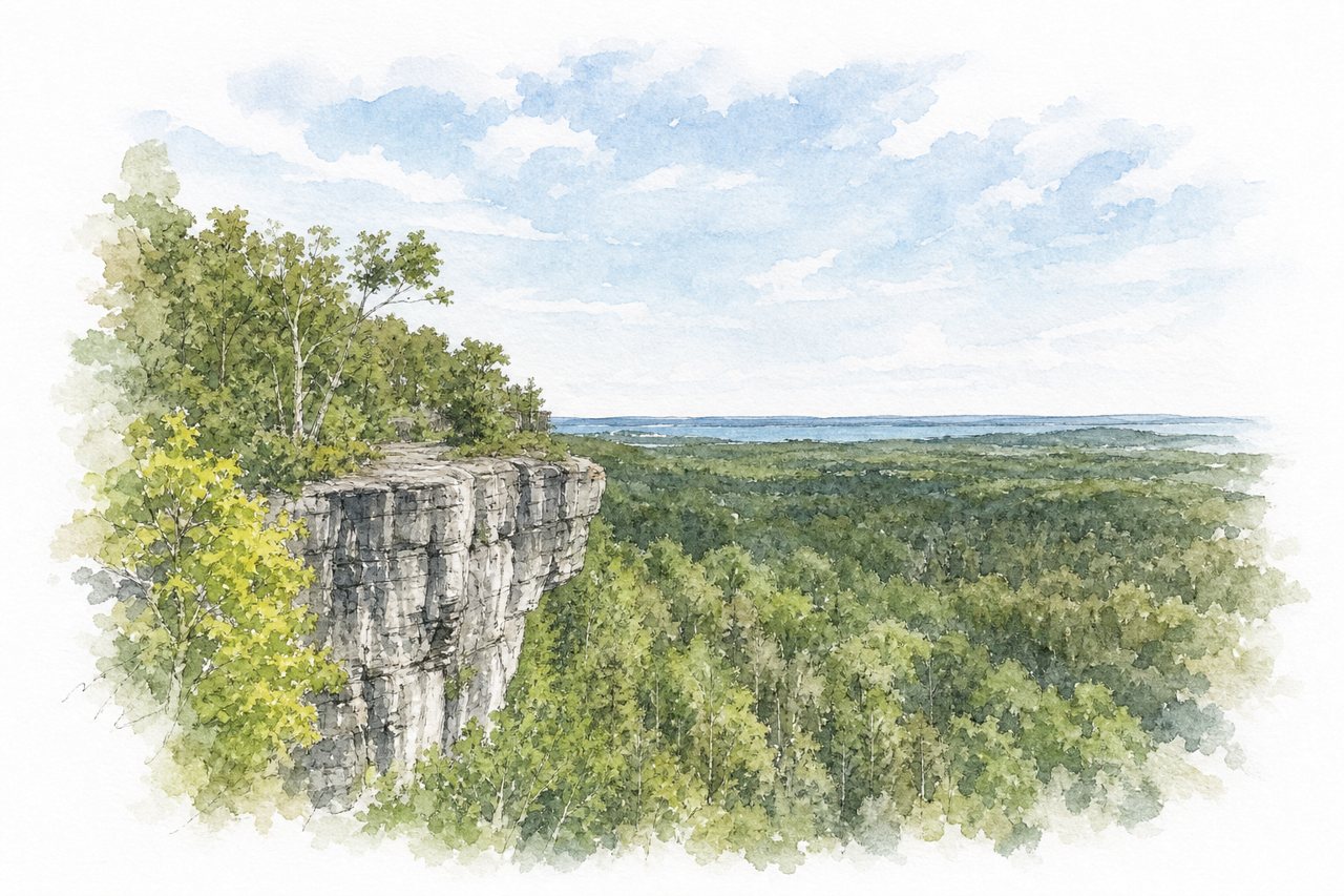
A marked trail network on Manitoulin Island climbs through hardwood forest to cliff-edge lookouts on the Niagara Escarpment. A short yellow adventure trail adds ladders, rock crevices and small caves, while unfenced lookouts face Lake Manitou and the surrounding island.
Highlights
- Escarpment cliff lookouts
- Yellow adventure trail
- Blue forest loop
Good to know
- Red trail about 4 km, roughly 2 hours
- Free parking, donations encouraged, fills by midday
- Steep stairs, ladders, unfenced cliff edges
-
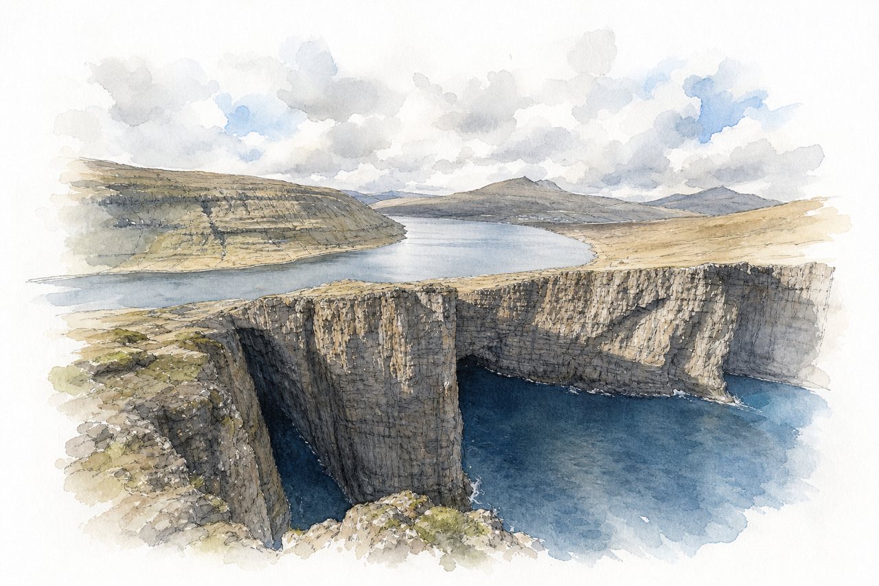
A cliff-top day hike on Vágar near the airport, following a lake shore to sea cliffs above the Atlantic. From the end viewpoint the lake appears to hang above the ocean, with a side path to Bøsdalafossur waterfall.
Highlights
- Lake above the ocean view
- Bøsdalafossur waterfall
- Highland cattle near trailhead
Good to know
- Fee of 200 DKK paid at entrance
- Mostly flat, 45–60 minutes each way
- Steep final climb, exposed cliff edges
-
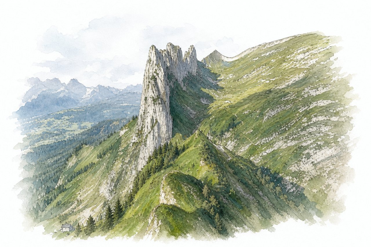
A pass and viewpoint on the eastern ridge of the Alpstein, reached by cable car from Frümsen or Brülisau and a rocky ridge trail. The layered rock formations rise above Fälensee, and loops continue past mountain lakes and huts.
Highlights
- Hoher Kasten ridge trail
- Saxer Lücke rock formations
- Fälensee and Sämtisersee lakes
Good to know
- Staubern to pass about 1 to 1.5 hours
- Weekend cable car queues up to two hours
- Rocky, slippery sections need sturdy hiking shoes
-
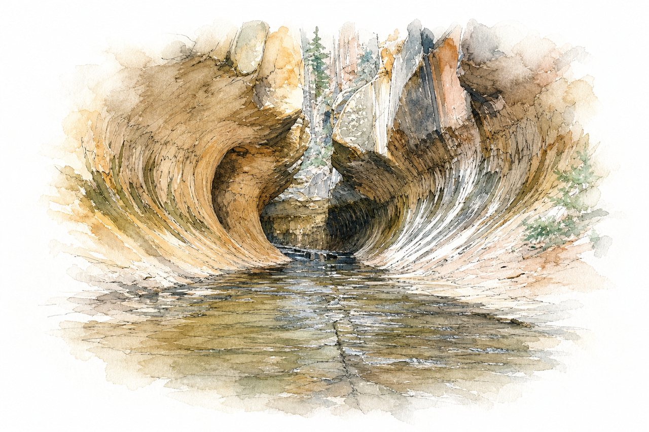
An out-and-back route from a roadside trailhead descends steeply into a canyon, then follows a creek upstream to the Subway, a narrow tunnel-shaped section carved by erosion. Most of the way has no marked trail, with boulder scrambling, river crossings and wading in cool water.
Highlights
- Steep descent into canyon
- Creek crossings and boulders
- Subway tunnel and waterfalls
Good to know
- Permit required, via lottery or visitor center
- About 9 miles round trip, 8-10 hours
- Small parking lot, arrive early
-
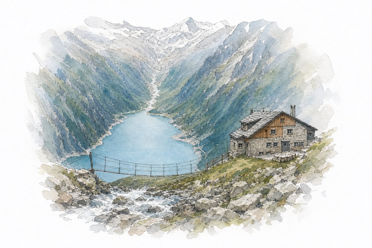
A mountain hut above the Schlegeis Reservoir, reached by a steep, rocky climb from the dam. A small suspension bridge near the hut draws long photo queues, and the reservoir stays in view for most of the ascent.
Highlights
- Panorama suspension bridge
- Schlegeis Reservoir views
- Small waterfall along trail
Good to know
- About 1.5–2.5 hours up, steep rock steps
- Toll road to reservoir, about €18
- Arrive early; parking and bridge queues fill
-
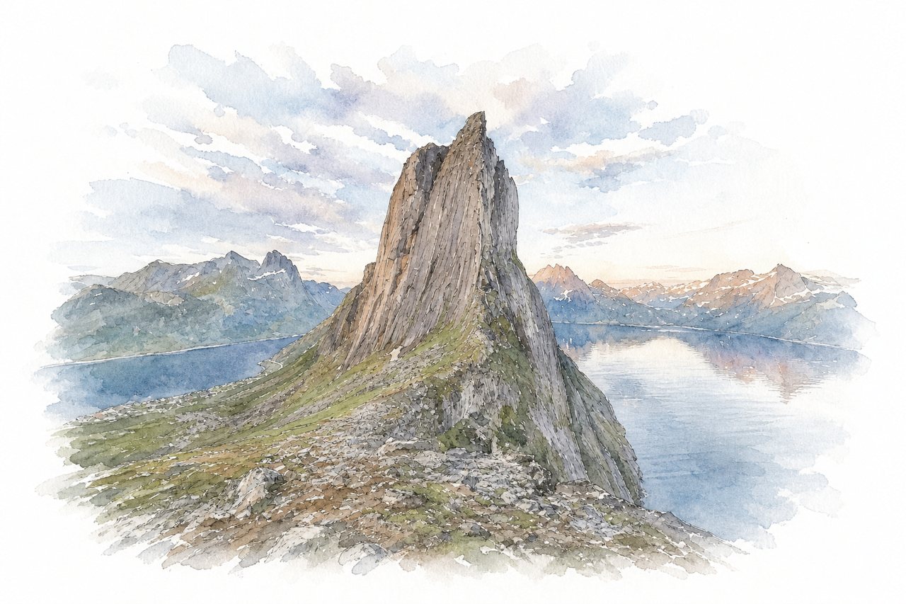
A steep day hike from Fjordgård on Senja up to the ridges and summit of Hesten. It looks straight across at the peak of Segla and over Medfjorden, and the final section to the summit involves scrambling with hands.
Highlights
- View of Segla
- Ridge between Segla and Hesten
- Rocky scramble to summit
Good to know
- About 3 hours round trip
- Paid parking in Fjordgård via EasyPark
- Final summit section steep, slippery when wet
-
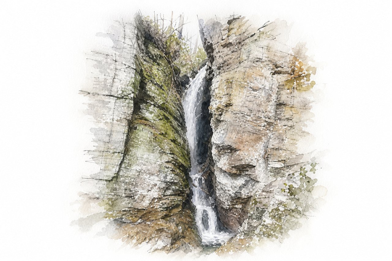
An out-and-back creekside trail in the Chattahoochee National Forest that passes a string of small cascades on the way to a waterfall. The final falls drop through a split in a tall granite cliff, reached by a short scramble.
Highlights
- Waterfall inside split cliff
- Small falls along creek
- Fallen-log creek crossing
Good to know
- About 5 miles round trip, roughly 3 hours
- $5 cash parking fee, lot fills early
- Roots, unbridged crossing, steep climb at end
-
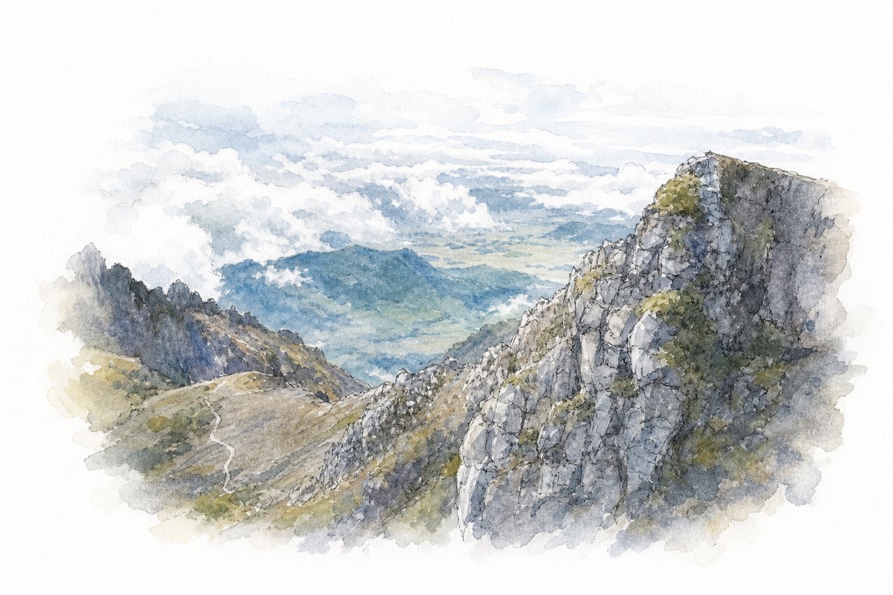
A volcano summit hike that is Panama's highest point, usually climbed through the night from Boquete on a rocky 4x4 road. On clear mornings the summit cross looks over both the Pacific and Atlantic oceans at sunrise.
Highlights
- Summit cross at sunrise
- Pacific and Atlantic views
- Scrambling climb from antennas
Good to know
- About 13 km one way from Boquete
- Ascent 4 to 6 hours, often from midnight
- $5 park entry fee, paid online
-
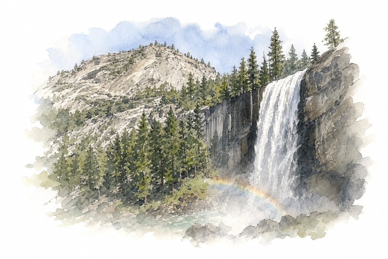
A trail from Happy Isles in Yosemite Valley climbs along the Merced River past Vernal Fall to Nevada Fall. Granite steps beside Vernal Fall run through spray that soaks hikers in spring and early summer, often with rainbows in the mist.
Highlights
- Vernal Fall footbridge
- Mist-soaked granite steps
- Top of Nevada Fall
Good to know
- About 3 hours round trip to Vernal Fall
- Park at Curry Village early, or shuttle
- Steep, wet steps; return via John Muir Trail
-
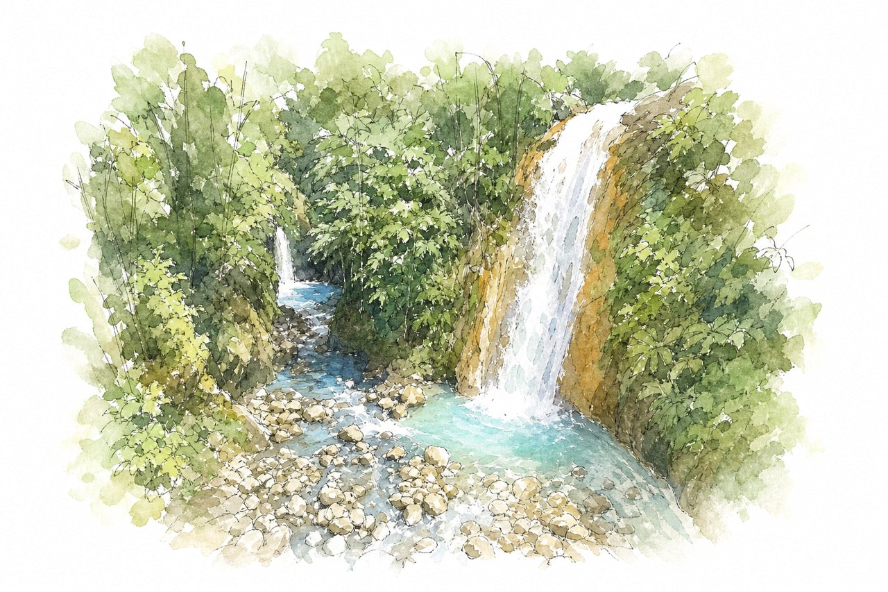
A privately run set of six waterfalls with blue water pools near Catarata del Toro, reached by out-and-back spur trails from a shared path. Staff posted at each fall help with river crossings, and several pools allow swimming in cold water.
Highlights
- Las Gemelas twin waterfalls
- Poza Azul swimming pool
- La Turquesa rope river crossing
Good to know
- Tickets sold at Catarata del Toro entrance
- Combo ticket with Catarata del Toro $25
- About 4 to 5 hours, many steep stairs
-
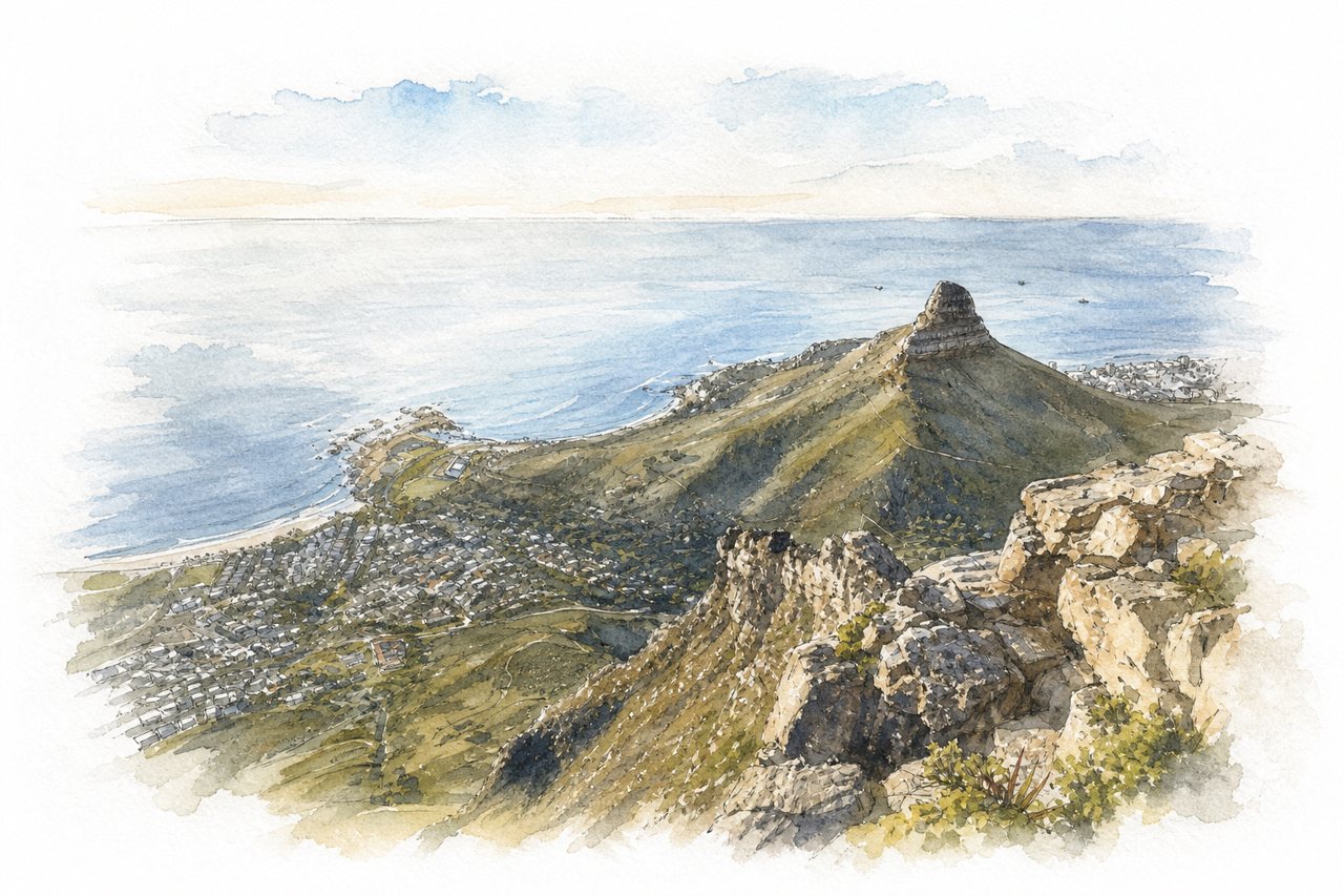
A rocky peak of about 669 metres beside Table Mountain, reached on a trail from Cape Town's edge. The path steepens into a final scramble with ladders and chains, and the summit gives a 360° view of the city, the coast and Table Mountain.
Highlights
- Ladder and chain section
- 360° summit view
- Views of Table Mountain
Good to know
- About one hour up, similar down
- Free, roadside parking near the trailhead
- Windy summit, slippery when wet
-
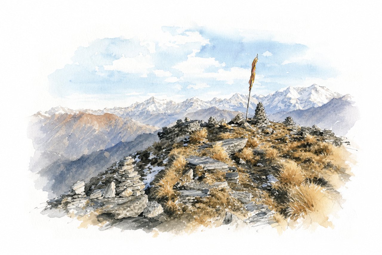
A summit of about 4,000 m above Chopta, reached by a trail past Tungnath Temple. A steep final climb leads to a small summit temple with a 360-degree view of Nanda Devi, Trishul and Chaukhamba, often at sunrise.
Highlights
- Tungnath Temple
- Steep final stretch
- Summit sunrise view
Good to know
- About 5 km one way from Chopta
- Steep 1 to 2 km above Tungnath
- Snow and black ice in winter
-
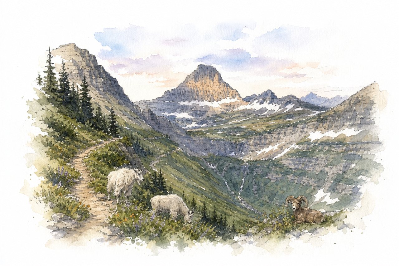
A long ridge trail in Glacier National Park running from Logan Pass past Haystack Butte to Granite Park Chalet, then down to the Loop. It follows a cliff ledge above Going-to-the-Sun Road, with wildflowers, mountain goats and bighorn sheep along the way.
Highlights
- Cliff ledge with cable
- Grinnell Glacier Overlook spur
- Granite Park Chalet
Good to know
- About 12 miles Logan Pass to Loop
- Logan Pass parking full by 7 am
- Steep 4-mile descent to the Loop
-
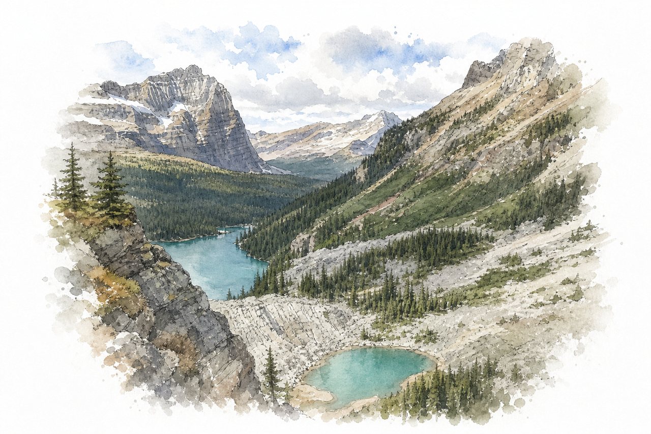
An alpine trail network around a turquoise lake in Yoho National Park, reached by an 11 km fire road or a reserved shuttle bus. Visitor quotas keep the trails quiet, and loops climb past chains of smaller lakes in different colours.
Highlights
- Opabin Prospect three-lake view
- Wiwaxy Gap ridge
- Rocky alpine circuit terrain
Good to know
- Fire road 11 km one way, 2–4 hours
- Shuttle by lottery; cash fare down if seats
- Exposed, rocky circuit; sudden snow and rain
-
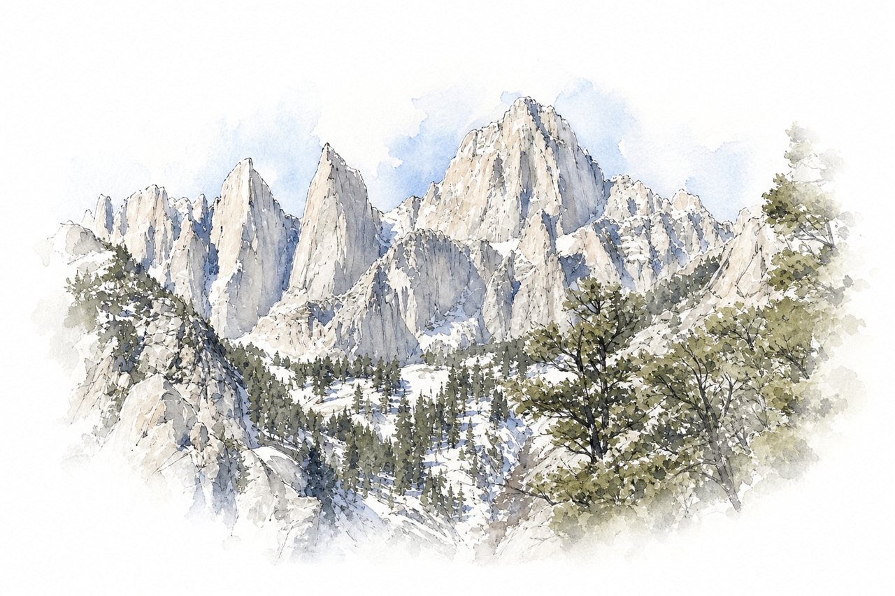
At 14,505 feet, the highest peak in the contiguous United States is reached from Whitney Portal on the Whitney Trail. Most hikers start in the middle of the night, and splitting the climb with a camp at Trail Camp is common.
Highlights
- Lone Pine Lake
- The 99 switchbacks
- Summit at sunrise
Good to know
- About 22 miles round trip, 6,000+ ft gain
- Permit required, allocated by lottery
- Altitude sickness common; acclimatize first
-
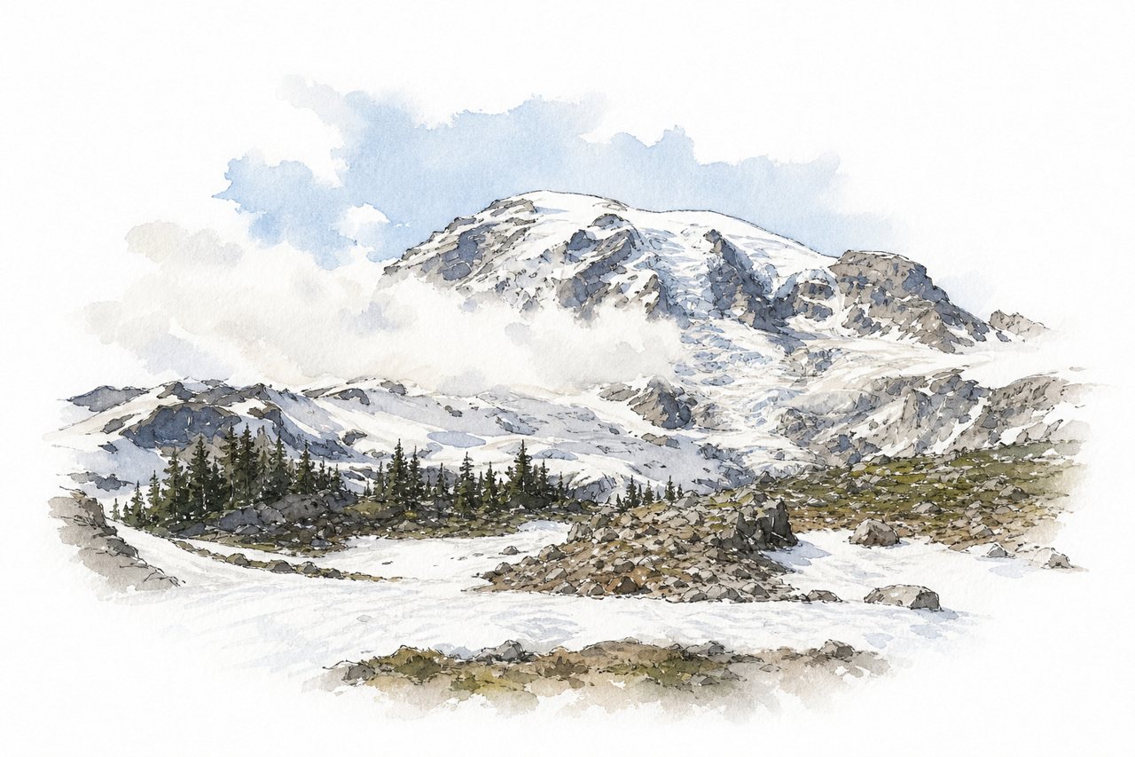
A loop trail climbs from the Paradise visitor center on Mount Rainier through wildflower meadows and snowfields to Panorama Point. On clear days the point looks out on Rainier's glaciers and on Mount Adams, Mount St. Helens and Mount Hood.
Highlights
- Panorama Point
- Glacier Vista
- Wildflower meadows and snowfields
Good to know
- Loop about 5.5 miles, 1,500–1,700 ft gain
- Steep first mile; snow into July
- Arrive early for entrance and parking
-
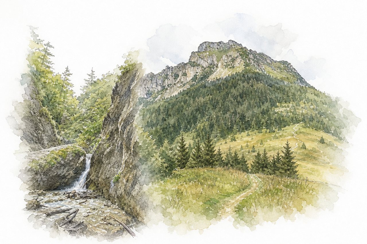
A day hike in Malá Fatra from Štefanová or Terchová through the Jánošíkove diery gorges to the rocky summit of Veľký Rozsutec at 1,610 m. The gorge section has ladders, bridges and waterfalls, and the summit block has chains, with a 360-degree view in clear weather.
Highlights
- Horné diery ladders and waterfalls
- Medzirozsutce saddle
- Veľký Rozsutec summit panorama
Good to know
- About 1000 m ascent from Štefanová
- Chains and scree; slippery after rain
- Crowded in summer; start early
-
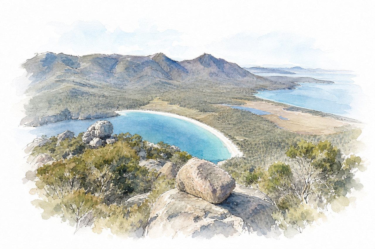
A short, steep climb in Freycinet National Park from the Wineglass Bay carpark to a granite summit. Much of the route is a scramble on all fours over smooth rock, ending in a panoramic view over Wineglass Bay and Coles Bay.
Highlights
- Summit view of Wineglass Bay
- Granite boulder scramble
- Steep crack near summit
Good to know
- About 4 km return, 2–4 hours
- Roughly 400 m ascent, mostly unshaded
- Rock slippery when dry; avoid when wet
-
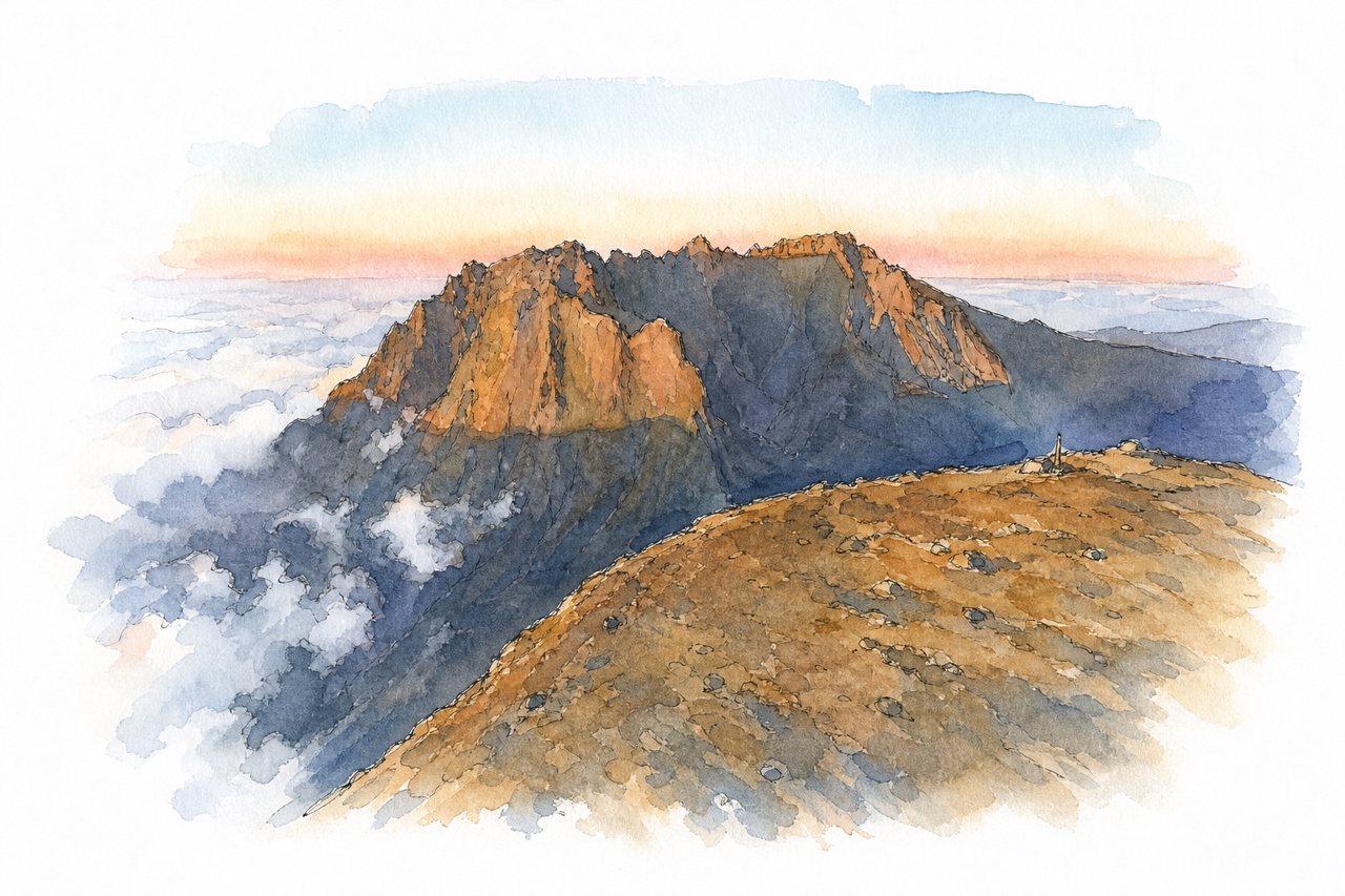
Highest summit of Réunion and the Indian Ocean at about 3,070 m, reached from Le Bloc above Cilaos via the Caverne Dufour refuge. Most hikers climb by headlamp to watch sunrise above the clouds, with views over the Cilaos, Mafate and Salazie cirques.
Highlights
- Sunrise above the clouds
- Caverne Dufour refuge
- Scree slopes below summit
Good to know
- About 1,700 m ascent from Le Bloc
- Round trip 8–11 hours, or overnight refuge
- Summit very cold and windy before sunrise
-
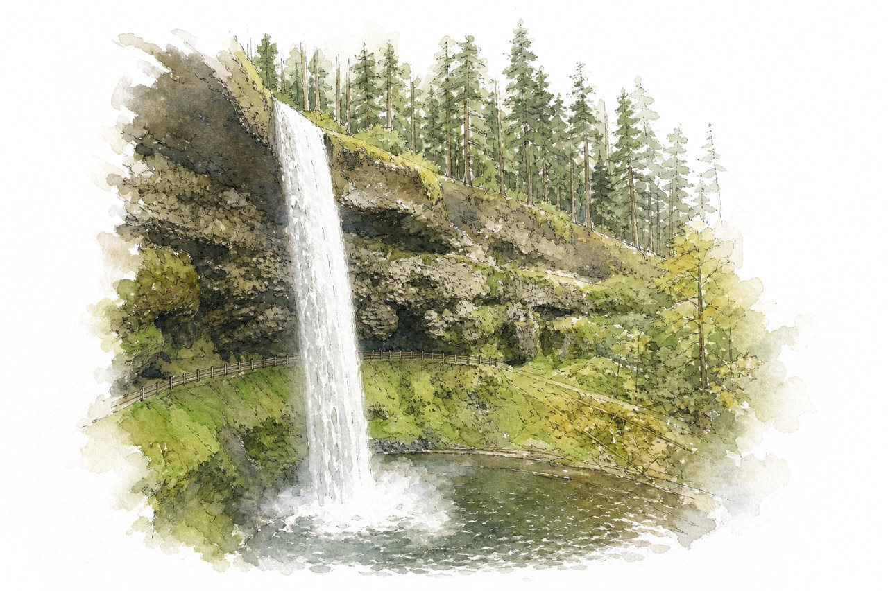
A loop trail of about 7 to 8 miles in Silver Falls State Park, Oregon, passing ten waterfalls through forested canyon. Several falls can be walked behind, and cross-trails allow shorter loops.
Highlights
- Walking behind South Falls
- Canyon Trail along creek
- Rim and Winter trails
Good to know
- Full loop about 8 miles, 4 hours
- Parking pass required; South Falls lot largest
- No dogs on main waterfall trail
-
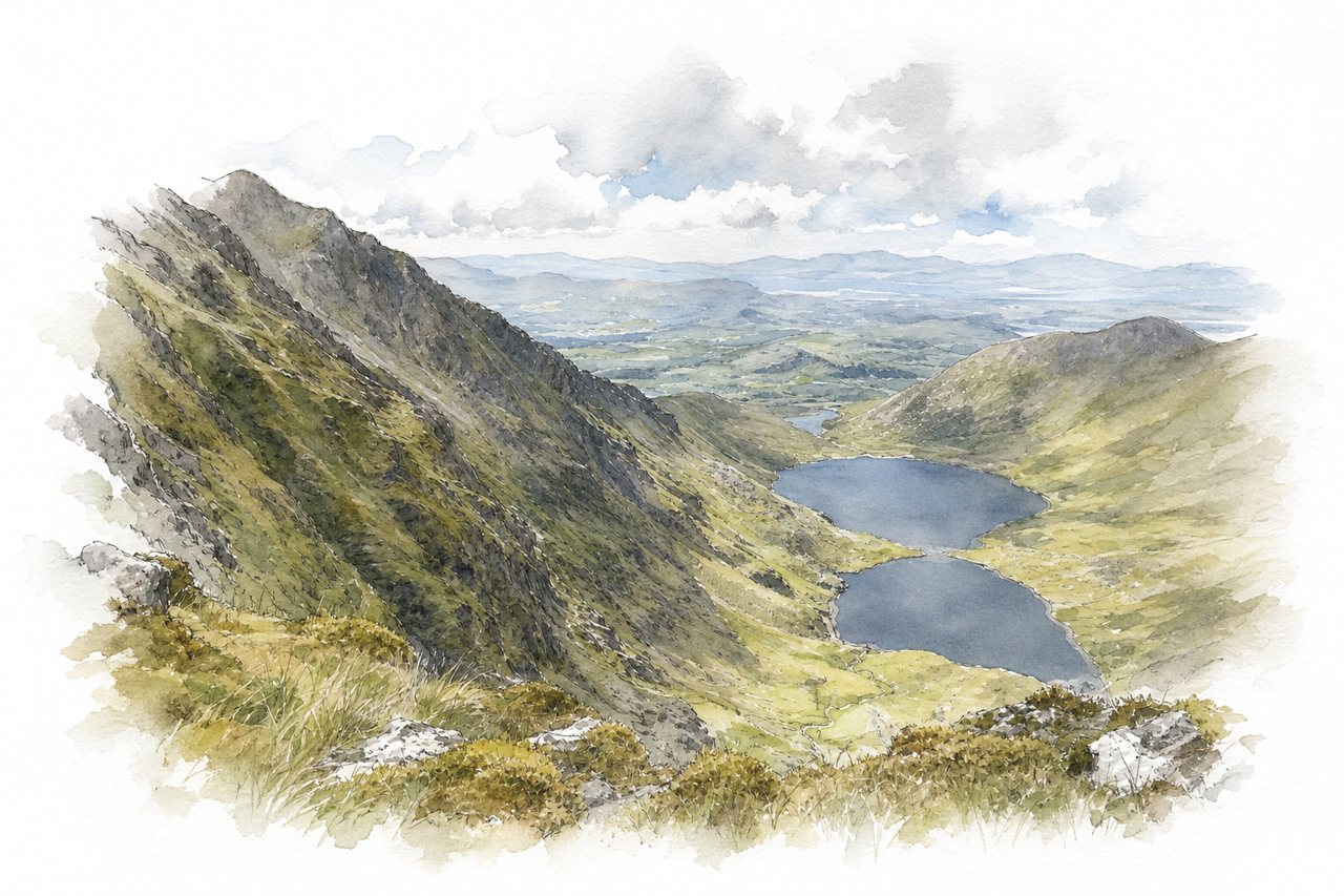
Ireland's highest mountain, at 1,038 m, is climbed from the car parks at Cronin's Yard in the MacGillycuddy's Reeks. Most hikers ascend the steep, loose Devil's Ladder gully, and the summit cross often sits in cloud as the weather shifts quickly.
Highlights
- Devil's Ladder scramble
- Summit cross and shelter
- Zigzag path descent
Good to know
- About 6–7 hours return from Cronin's Yard
- Parking at Cronin's Yard costs €2
- Routes largely unmarked, weather changes fast
-
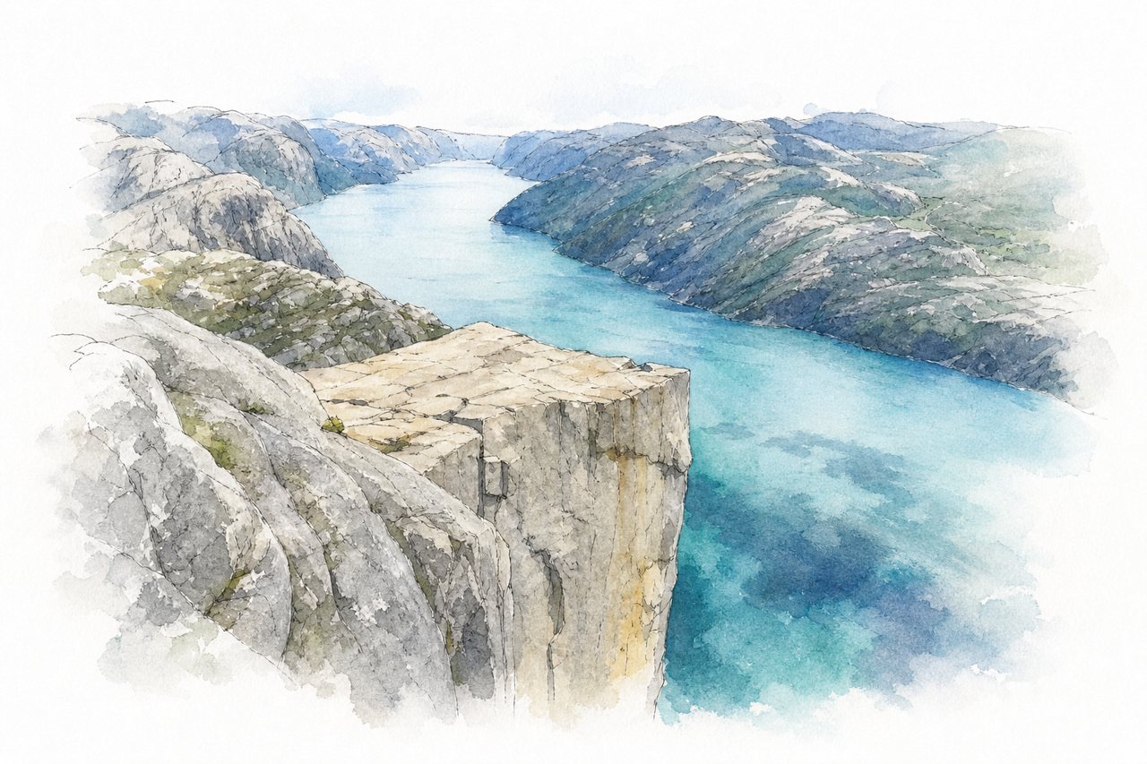
A day hike of about 4 km each way from the parking lot to a flat granite cliff 604 meters above the Lysefjord. The trail climbs over stone steps, boulders and wooden walkways, and the plateau edge has no fences.
Highlights
- Pulpit Rock plateau
- Lysefjord view
- Stone steps and boulders
Good to know
- About 8 km round trip, 4–5 hours
- Parking 275 NOK for over two hours
- No fences at the cliff edge
-
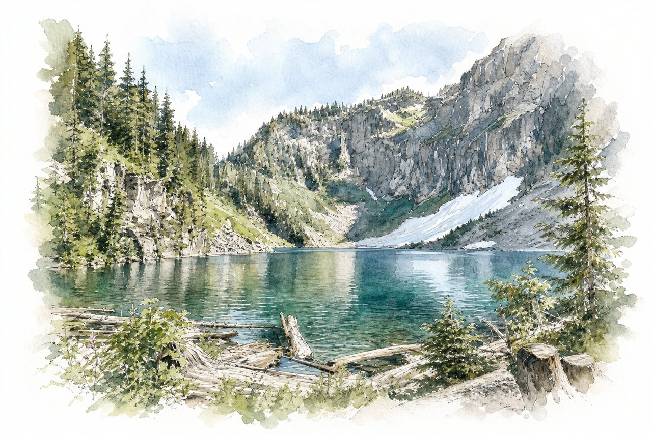
A day hike near Index in the Washington Cascades, climbing through forest to an alpine lake below sheer rock walls and Mount Index. A side trail leads to Bridal Veil Falls, and the final stretch to the lake climbs steep rocky stairs and switchbacks.
Highlights
- Bridal Veil Falls
- Lunch Rock at the lake
- Stair climb above the fork
Good to know
- About 8 miles round trip, 2,000+ ft gain
- Northwest Forest Pass or $5 e-pass required
- Parking lot fills by 8 am
-
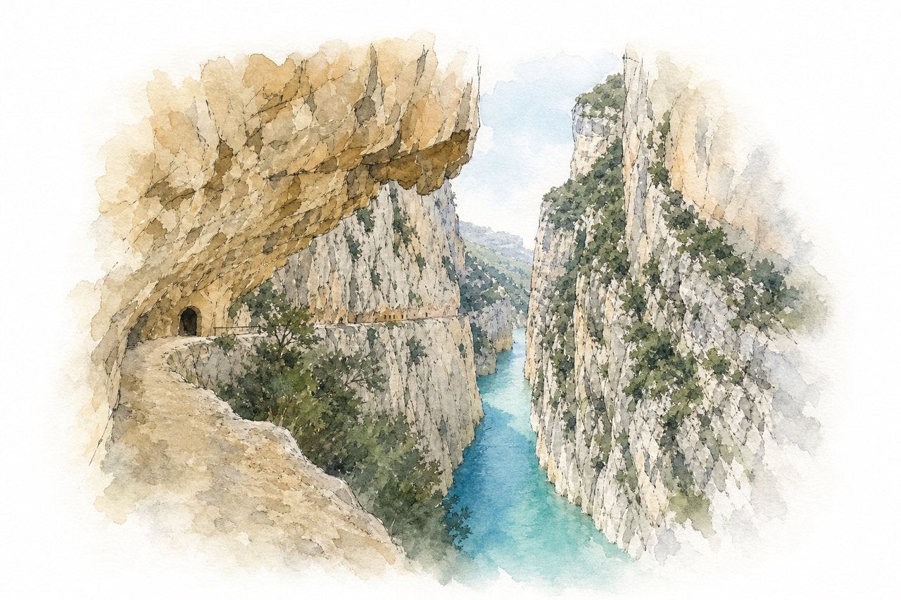
A linear gorge trail cut into rock walls above the Noguera Ribagorzana river, on the border between Catalonia and Aragon. Footbridges, hanging stairs and suspension bridges cross the cliffs over turquoise water, and many pair the walk with a kayak trip.
Highlights
- Walkways carved into cliffs
- Suspension bridges and stairs
- Montfalcó footbridges
Good to know
- La Masieta parking €8–10, book online
- No water sources, little shade
- Narrow exposed sections, rope for support
-
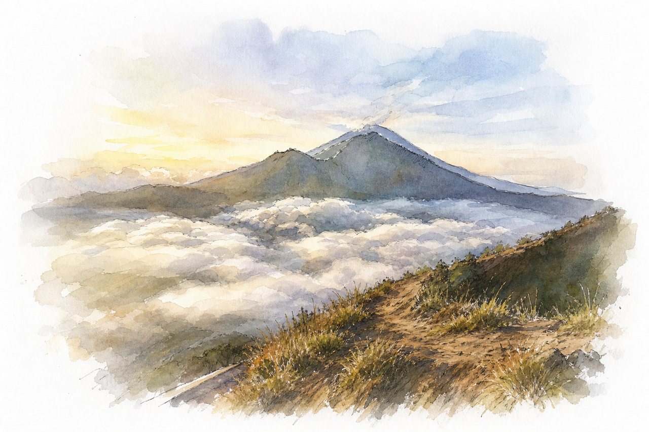
An active volcano of 1,717 meters in Kintamani, climbed mostly before dawn for sunrise over a sea of clouds. The summit looks over Lake Batur, Mount Abang and Mount Agung, with steaming fumaroles on the crater rim, while motorbikes and crowds share the trail.
Highlights
- Sunrise above the clouds
- Crater rim fumaroles
- Lake Batur and caldera
Good to know
- Ascent about 1.5 to 2 hours
- Loose sand and rock, slippery descent
- Guide fees disputed; afternoon trail emptier
-
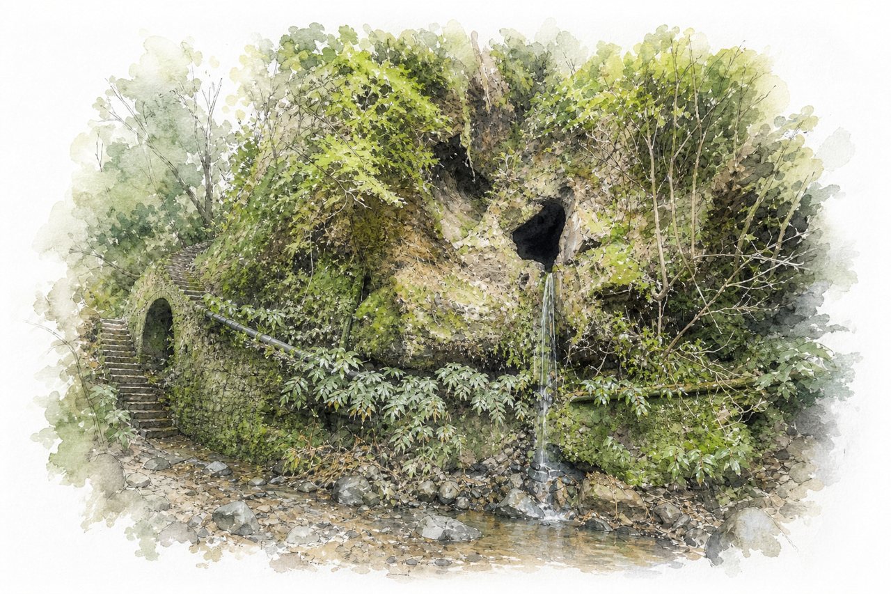
A circular trail of about 8 km on São Miguel that crosses pastures before entering a forested gorge. Old aqueducts, bridges and dark tunnels lead to a moss-covered wall where water spills from a hole into a pond.
Highlights
- Hand-carved water tunnels
- Forested gorge with aqueducts
- Janela do Inferno waterfall
Good to know
- About 8 km loop, 2 to 3 hours
- Bring a light for low, dark tunnels
- Muddy and flooded after rain
-
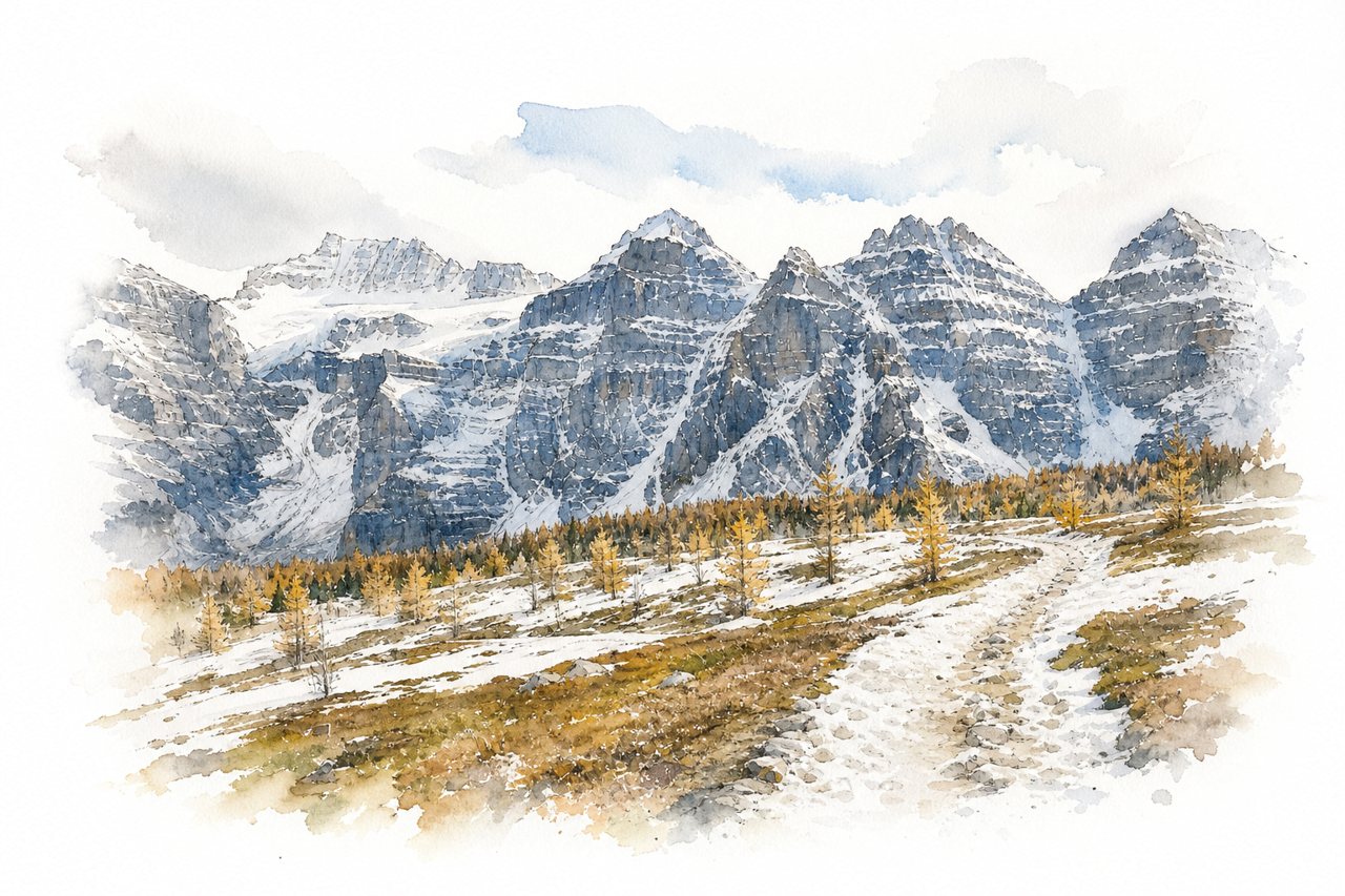
A day hike from Moraine Lake climbs forest switchbacks into Larch Valley, then up a steep final stretch to a high pass. Golden larches in late September frame the Ten Peaks, and the pass overlooks valleys on both sides.
Highlights
- Larch Valley in autumn
- Ten Peaks and Fay Glacier
- Minnestimma Lake below the pass
Good to know
- About 12 km return, 4 to 6 hours
- Roughly 725 m ascent to the pass
- Moraine Lake parking fills early; shuttle advised
-
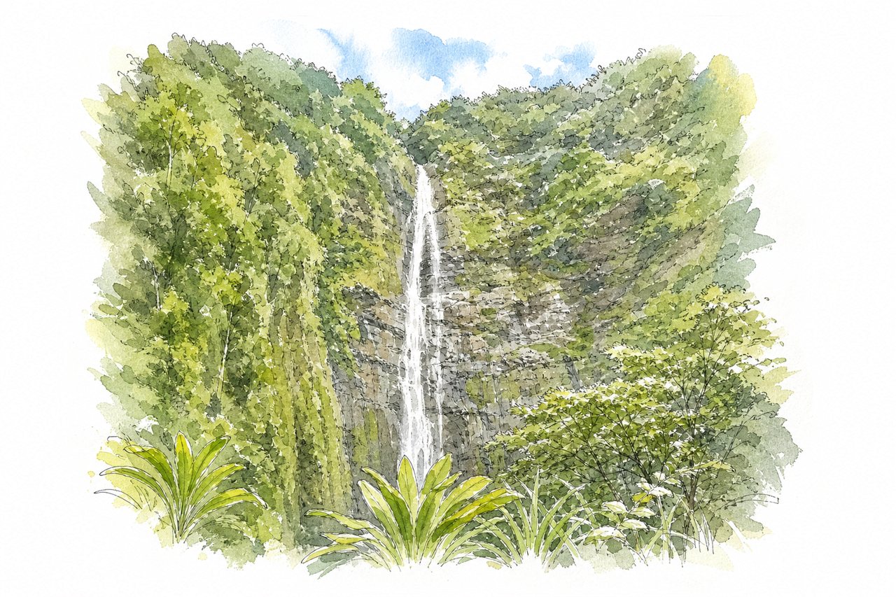
A trail of about 2 miles each way climbs from the Kīpahulu visitor area past Makahiku Falls and a large banyan tree to the base area of Waimoku Falls. Its second half runs through a bamboo forest on boardwalks, where the canes clack in the wind.
Highlights
- Bamboo forest boardwalk
- Makahiku Falls overlook
- Waimoku Falls
Good to know
- About 4 miles round trip, roughly 2 hours
- National park entrance fee per vehicle
- Wet, slippery rocks and roots; flash floods
-
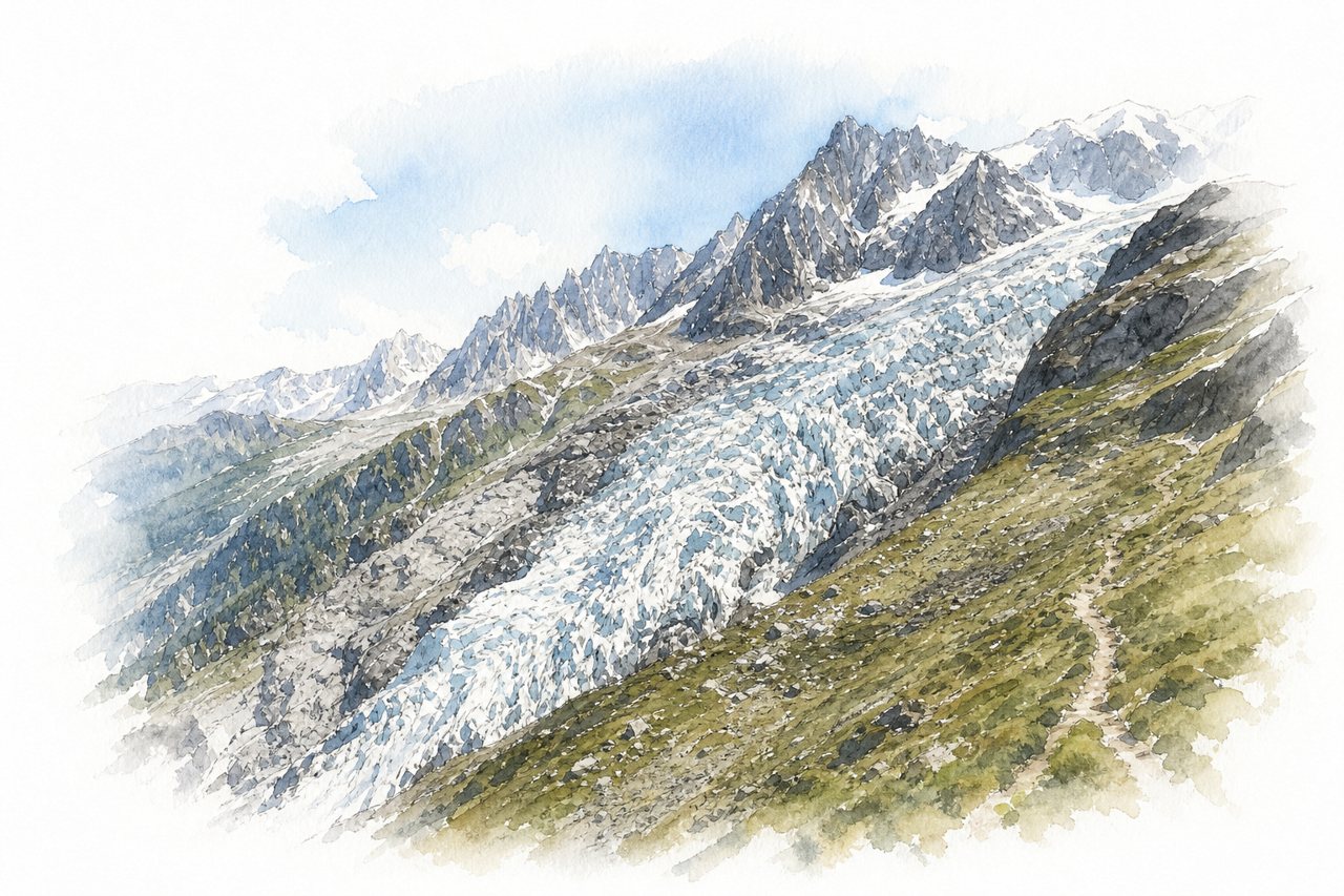
A steep day hike from the Bossons valley floor through forest to a viewpoint at about 2590m above Chamonix. At the top the Bossons and Taconnaz glaciers meet below Mont Blanc and the Aiguille du Midi, with crevasses and collapsing ice in view.
Highlights
- Bossons and Taconnaz glacier junction
- Chalet des Pyramides
- Rock scrambling on final section
Good to know
- About 1500-1700m ascent, 7-9 hours round trip
- No water on trail; carry 2+ litres
- Bossons chairlift saves about 300m ascent
Best by region
- The NordicsMúlagljúfurSouth Iceland, IcelandN° 1
- EuropeMúlagljúfurSouth Iceland, IcelandN° 1
- AsiaAdam's PeakCentral Highlands, Sri LankaN° 15
- The Middle EastMount SinaiSouth Sinai, EgyptN° 32
- North AmericaAngels LandingZion National Park, United StatesN° 7
- The CaribbeanBoiling LakeMorne Trois Pitons, Dominica, DominicaN° 64
- Latin AmericaLaguna de los TresEl Chaltén, Patagonia, ArgentinaN° 9
- AfricaRobberg PeninsulaPlettenberg Bay, Garden Route, South AfricaN° 3
- OceaniaGertrude SaddleFiordland National Park, New ZealandN° 23