2026
The World’s 100 Best Canyons & Gorges
Canyons, gorges, slot canyons and river defiles a visitor can look into or walk through.
The list
-
Antelope Canyon
Page, United States
Top 10No. 1 in North AmericaNo. 1 in the United StatesSlot canyon
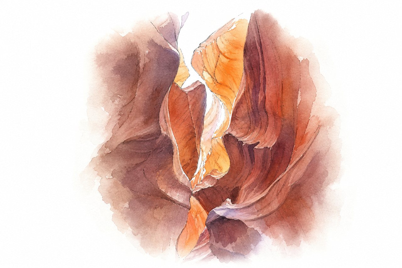
A narrow slot canyon cut into sandstone near Page, Arizona, shaped by flash floods and wind. Visitors see curved walls and shifting light on a guided walk through the passages, led by a Navajo guide.
Highlights
- Sunlight beams from ceiling
- Wave-like sandstone walls
- Lower Antelope Canyon section
Good to know
- Guided tour with Navajo guide required, booked in advance
- Tour prices vary, permit fee added
- Large bags and tripods not allowed
-
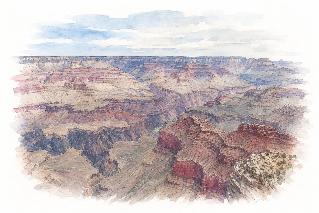
Layered red rock walls drop deep to the Colorado River across a very wide gorge. Visitors mostly view it from rim viewpoints, reach them by free shuttle, and walk trails such as South Kaibab.
Highlights
- Mather Point
- Desert View Watchtower
- South Kaibab Trail
Good to know
- Non-US visitors pay a higher entry fee
- Buy entry pass online to avoid entrance lines
- Free shuttle buses link the viewpoints
-
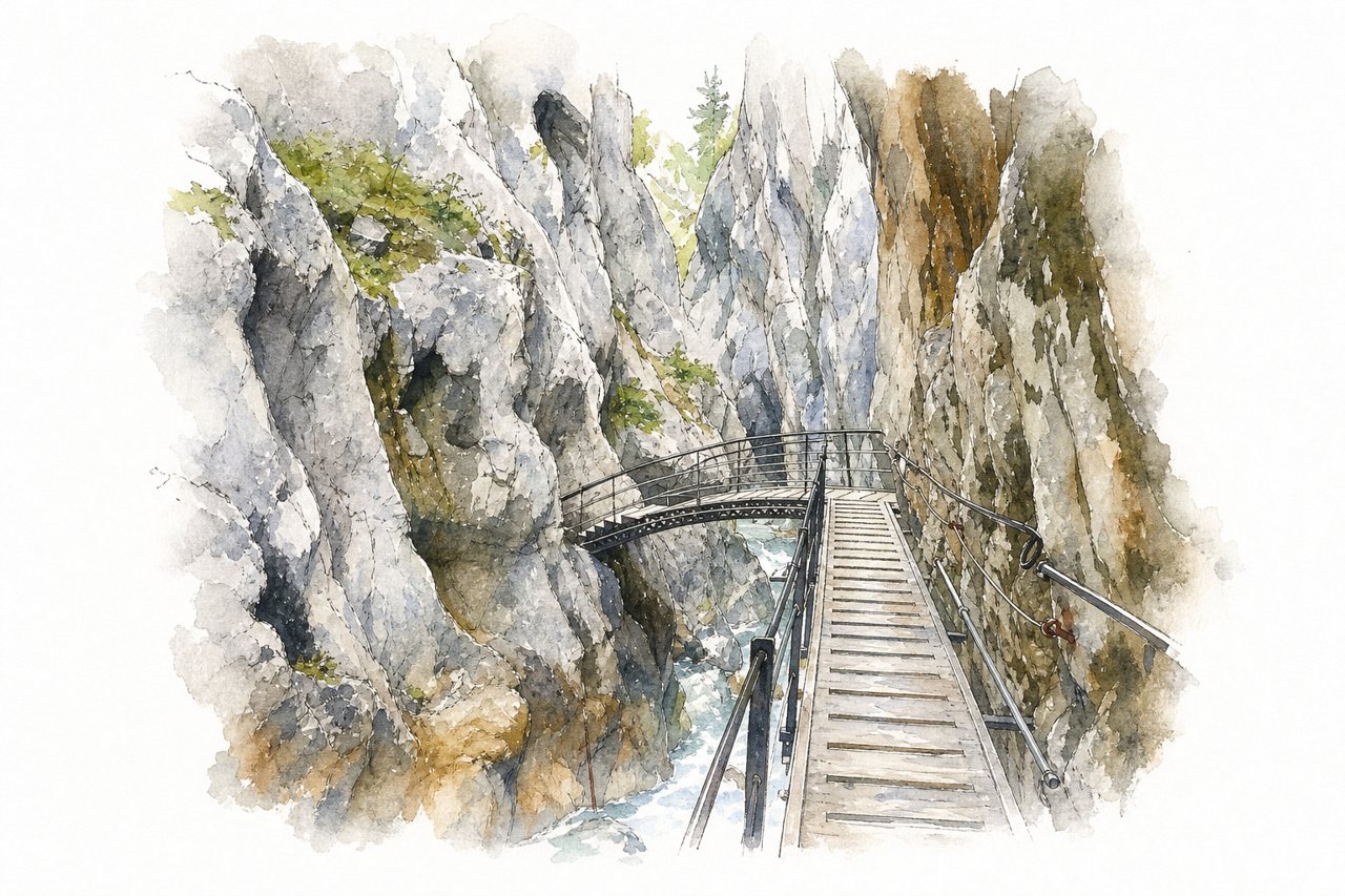
The gorge is a narrow cut through limestone rock, with a river and waterfalls running through deep ravines. Visitors walk narrow paths, bridges and tunnels carved into the rock walls, with water dripping from above.
Highlights
- Waterfalls and deep ravines
- Tunnels carved into rock
- Wooden walkways and bridges
Good to know
- Entrance fee €7 per adult, cash only
- Sturdy footwear and rain jacket essential
- Gorge gets crowded from late morning
-
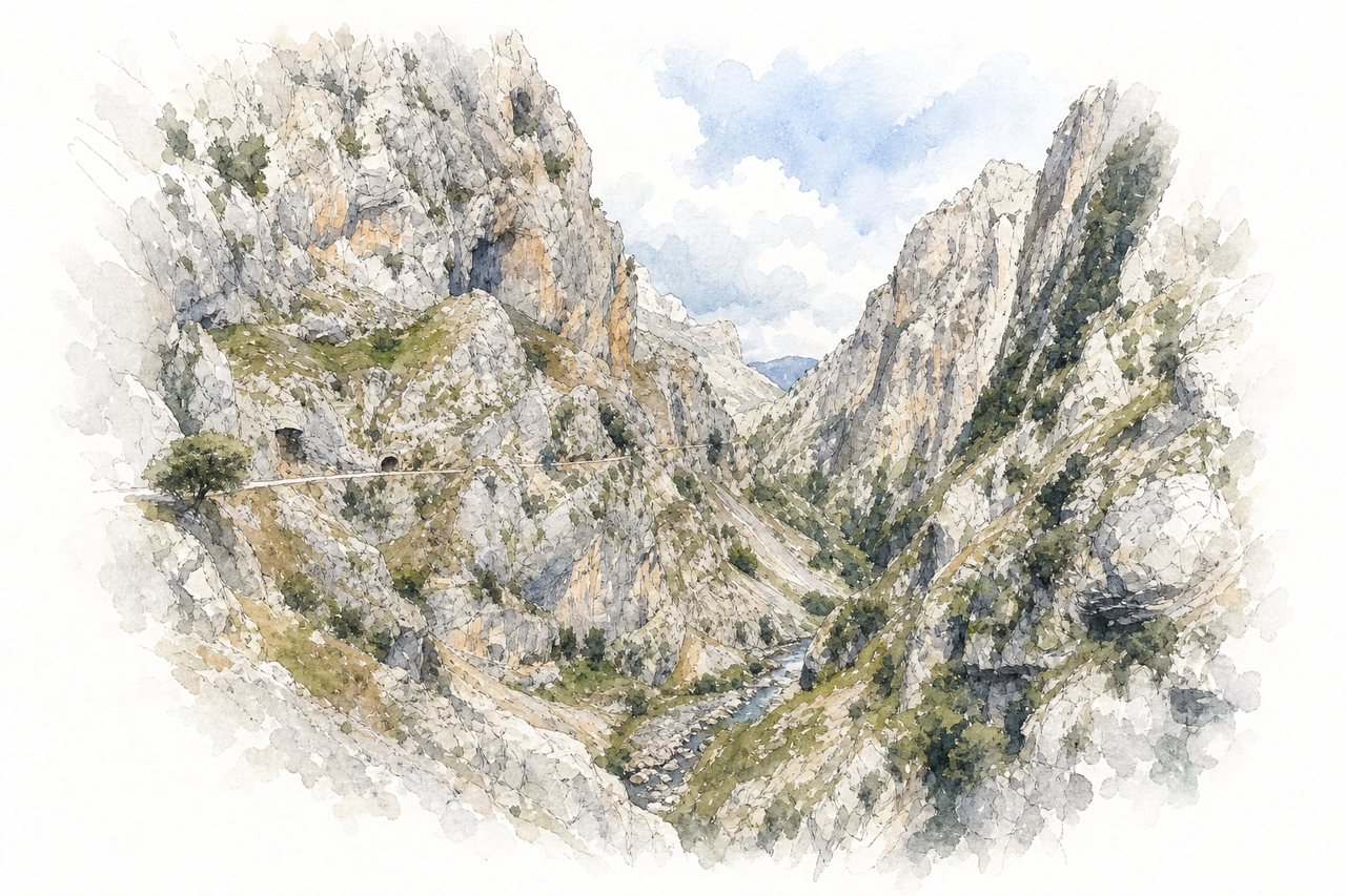
A limestone gorge in the Picos de Europa, with walls rising over 1,000 meters above the Cares River. Visitors follow a narrow path cut along the rock, passing tunnels and bridges high above the water.
Highlights
- Tunnels carved into rock
- Bridges and walkways
- Vertical limestone walls
Good to know
- 24 km round trip, 6 to 8 hours
- Arrive before 9 AM for parking
- Narrow path with no handrail
-
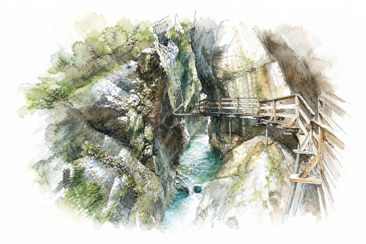
A deep rock gorge cut by a wild river, with narrow walls that close in toward a dark section. Visitors walk a wooden walkway and bridges above the water, or take a circular route back by the regular path.
Highlights
- Dark Gorge section
- Wooden walkways and bridges
- Wild river below the walkways
Good to know
- Entry about 9 euros per person
- Walkways narrow, passing difficult in places
- Walk takes about 30 to 60 minutes
-
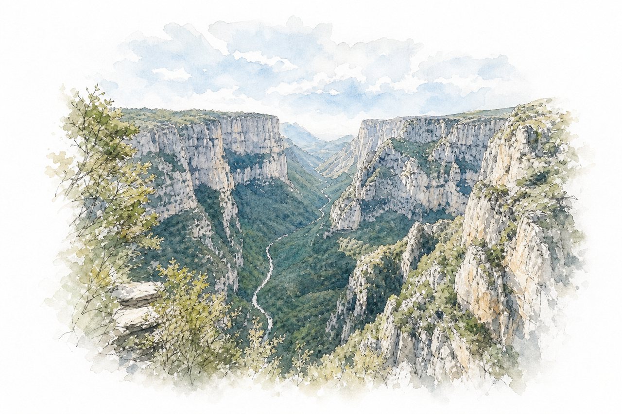
A limestone canyon about 900 metres deep and narrow for its width, with the Voidomatis River running through it. Visitors look down from rim viewpoints such as Oxya and Beloi, or walk the marked trail from Monodendri to Vikos through the gorge.
Highlights
- Oxya viewpoint
- Beloi viewpoint
- Voidomatis springs
Good to know
- Free roadside parking in the villages
- Full crossing takes five to seven hours
- Rocky uneven path, sturdy footwear advised
-
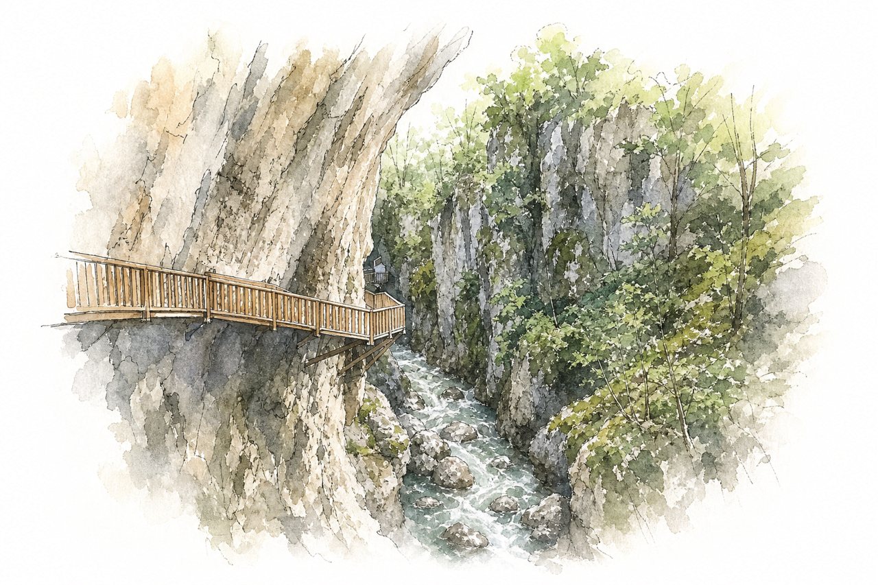
A narrow gorge with high rock walls and a river flowing far below, about 3 km long. Visitors walk a wooden walkway fixed to the canyon walls, ending at Ilıca Waterfall, then return by minibus or taxi.
Highlights
- Wooden walkway on canyon walls
- Ilıca Waterfall at the end
- Swaying bridge over the gorge
Good to know
- Entry fee about 75 TL, students half
- Minibus about 100 TL per person, taxis more
- Slippery when wet, steep sections and steps
-
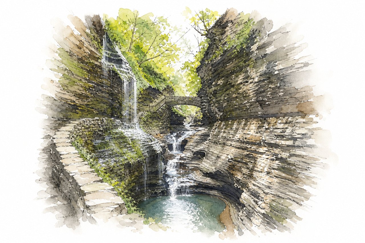
Shale cliffs rise about 200 feet on either side of a narrow gorge that a stream runs through. Visitors walk the Gorge Trail along stone steps, bridges and ledges, with the rim trail and a shuttle used for the return.
Highlights
- Rainbow Falls
- Cavern Cascade
- Suspension bridges
Good to know
- Parking costs $10, shuttle $6 per person
- Hike takes one to two hours
- Many stairs and slippery wet stone
-
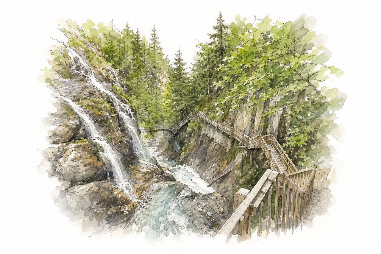
Steep rock walls line the Durnand River as it drops through waterfalls and pools. Visitors follow wooden walkways and stairs fixed to the rock face, then return through forest.
Highlights
- Wooden walkways clinging to rock
- Suspension bridges
- Successive waterfalls and pools
Good to know
- Tickets at the restaurant, 9 CHF adults
- Loop takes about one hour, around 300 steps
- Forest descent is steep and can be slippery
-
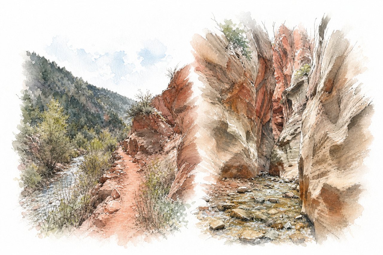
Kanarra Creek runs through a narrow slot canyon of red rock, with creek water ankle to knee deep and several waterfalls at the end. Visitors walk a dirt road first, then wade and scramble up the creek to the falls.
Highlights
- Slot canyon section
- Three waterfalls at the end
- Creek crossings and wading
Good to know
- Permit required, about $15 per person
- Sells out, book online in advance
- Feet will get wet, wear water shoes
-
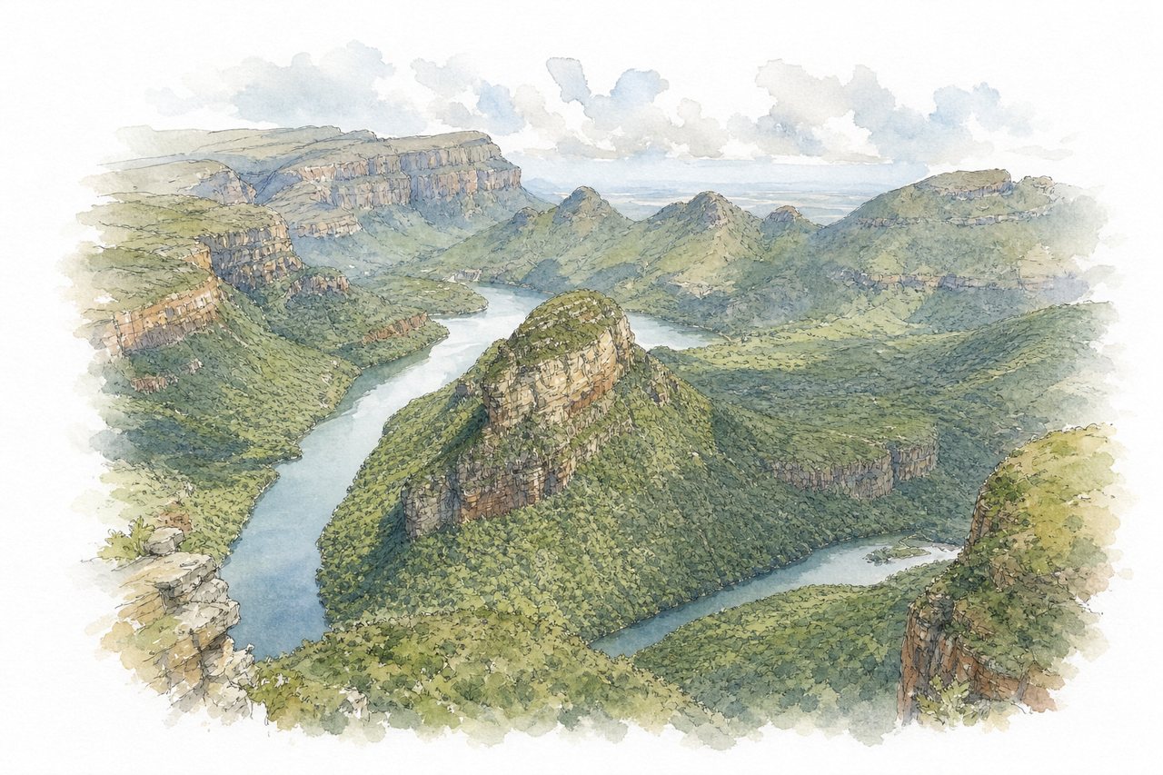
A green gorge cut into red sandstone, roughly 800 m deep, with the Blyde River running below. Visitors look down from rim viewpoints such as the Three Rondavels, walk short trails to waterfalls and pools, or take a boat on the reservoir.
Highlights
- Three Rondavels viewpoint
- Bourke's Luck Potholes
- Leopard Trail views
Good to know
- Fees charged per viewpoint, varying widely
- Viewpoints close at 5 PM
- Mist can hide views, check weather
-
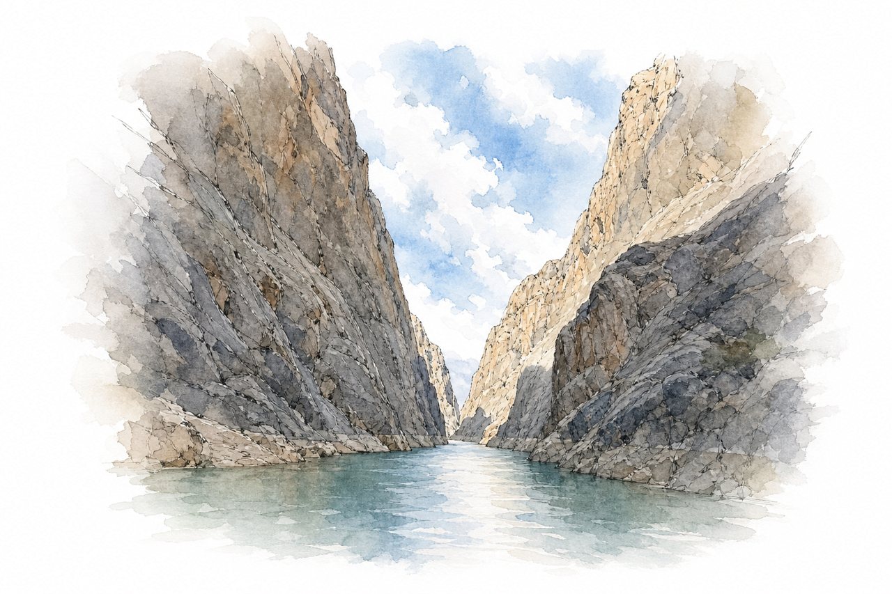
Steep dark rock walls rise several hundred metres above the Euphrates River, with the water running deep and narrow between them. Visitors look down from rim viewpoints, walk or drive the carved Stone Road through tunnels, or take a boat tour along the base.
Highlights
- Stone Road tunnels
- Euphrates River boat tour
- Steep dark rock walls
Good to know
- Boat tour 100 to 400 TL per person
- Opens 11 am, trips until 6 pm
- Tunnels are dark, bring a flashlight
-
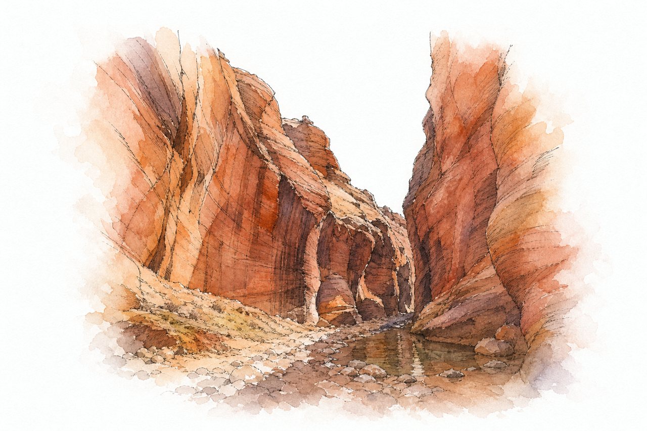
Buckskin Gulch is a long slot canyon of red rock, walls up to 150 m high and close enough to touch, with pools on the floor. Visitors hike in from Wire Pass trailhead along a dry wash, some going on to the Paria confluence.
Highlights
- Wire Pass junction
- Ladder drop near the start
- Hand imprint cave carvings
Good to know
- Day permit required, buy online or at lot
- Dirt road impassable when wet or muddy
- Flash floods, check forecast before entering
-
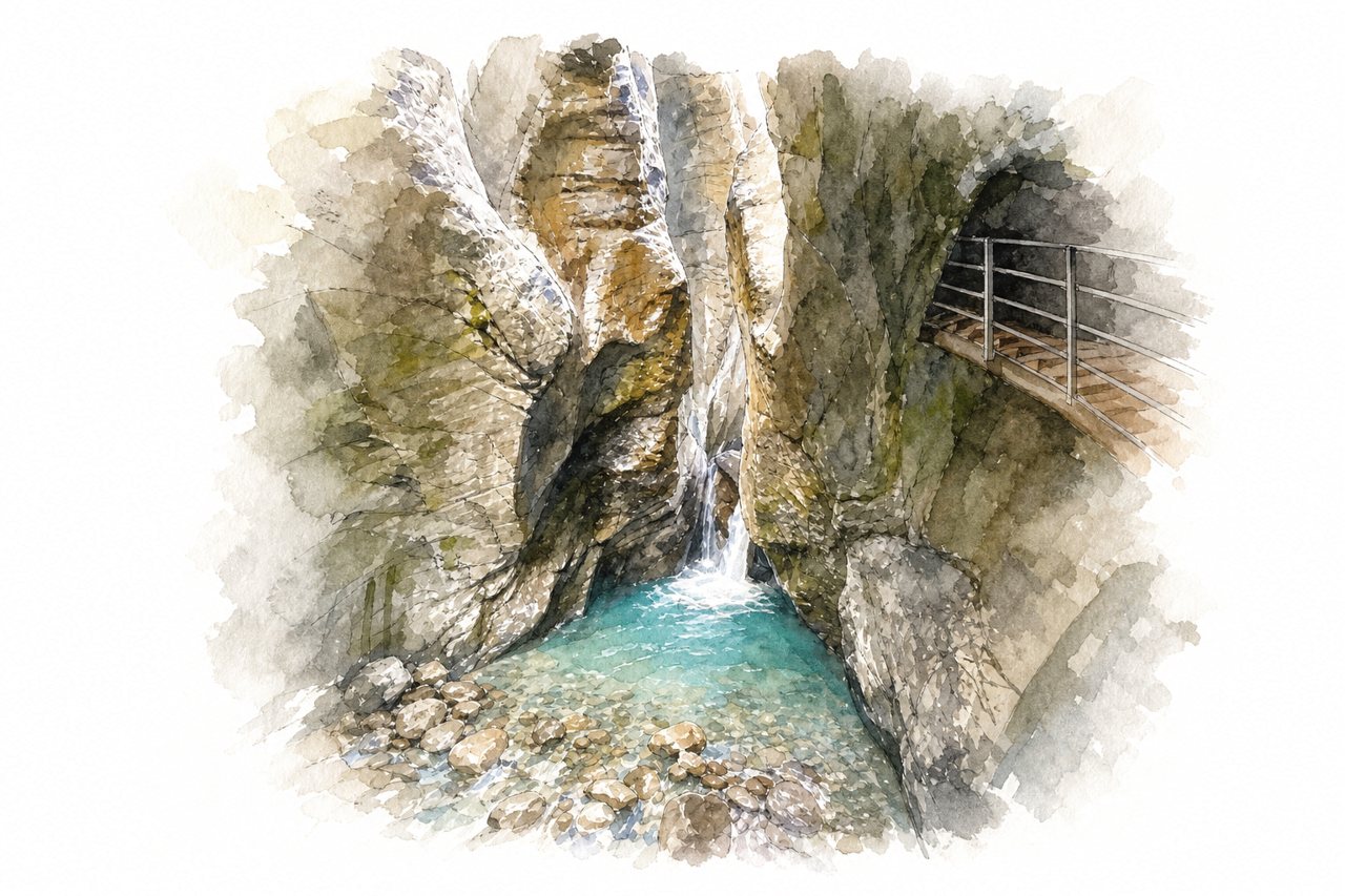
A narrow gorge of rock walls cut deep by a glacial river, with waterfalls roaring through it. Visitors walk a loop with wooden walkways and tunnels, reaching it by narrow mountain road or postal bus.
Highlights
- Waterfall at the entrance
- Wooden walkways and tunnels
- Glacier view past the gorge
Good to know
- Adult entry about CHF 10 to 12, paid at ticket hut
- Parking CHF 8, CHF 4 after noon
- Loop takes about 45 minutes, many steps
-
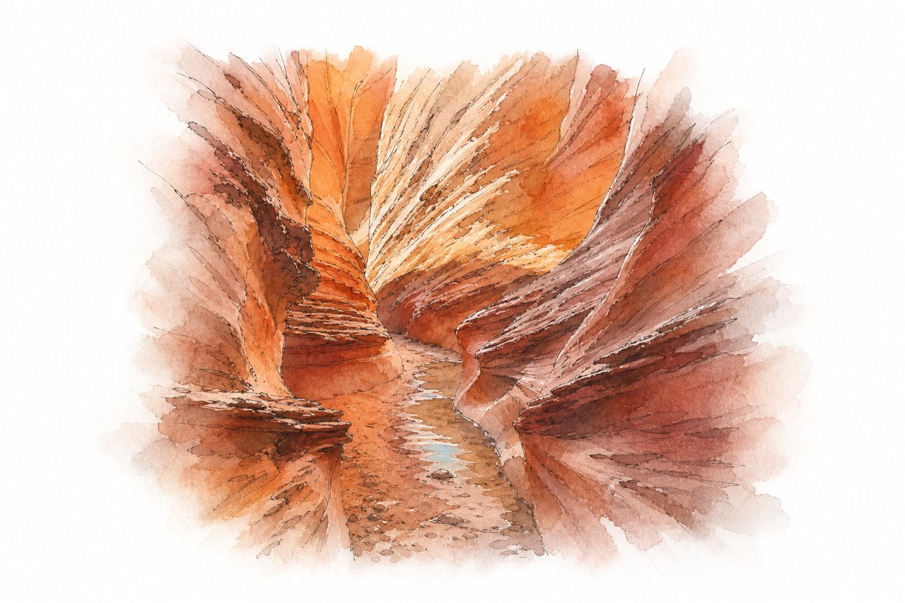
Narrow red sandstone slot canyon with walls rising steeply and shallow water pooling on the floor in places. The usual route is a loop from Peek-a-boo through Spooky, with no boat or guided tour involved.
Highlights
- Boulder drop mid-canyon
- Narrow sandstone squeeze sections
- Peek-a-boo connecting loop
Good to know
- Dry Fork road is washboard and slow
- Carry 3 liters of water per adult
- Go early, midday summer sun is intense
-
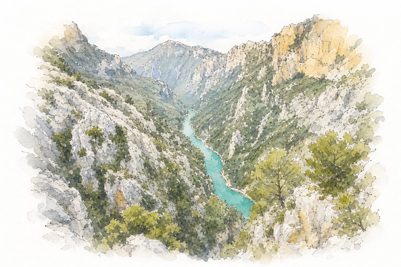
The Verdon Gorge is a deep canyon of pale limestone cliffs, plunging about 700 metres to a turquoise river that runs narrow between walls. Visitors see it from rim viewpoints along the Route des Crêtes and Corniche Sublime, from trails, and by pedal boat, electric boat or kayak from Lake Sainte-Croix.
Highlights
- Route des Crêtes viewpoints
- Point Sublime
- Turquoise river between cliffs
Good to know
- Pedal boats cost about €50 for two hours
- Book boats early, rental shops open at 9:00
- July and August are very crowded
-
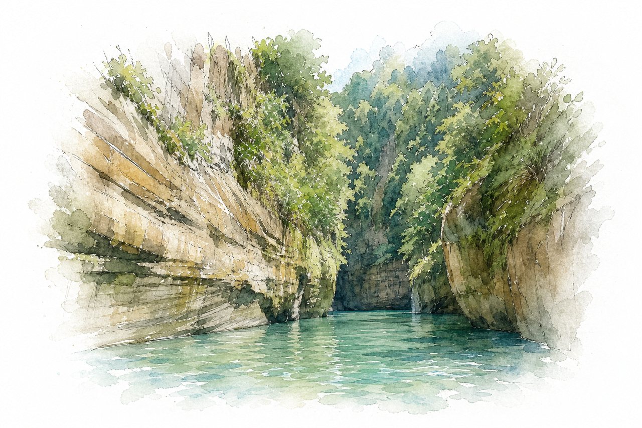
Rugged rock walls and enormous formations line a clear river that runs green or blue by season. Visitors mostly see it from the water, on guided rafting or boat trips with natural pools, rapids, and waterfalls along the way.
Highlights
- Boat-shaped rock
- Natural swimming pools
- Hidden waterfalls
Good to know
- Boat trip takes four to five hours
- Book ahead in peak season
- Tours cost about 200,000 pesos per person
-
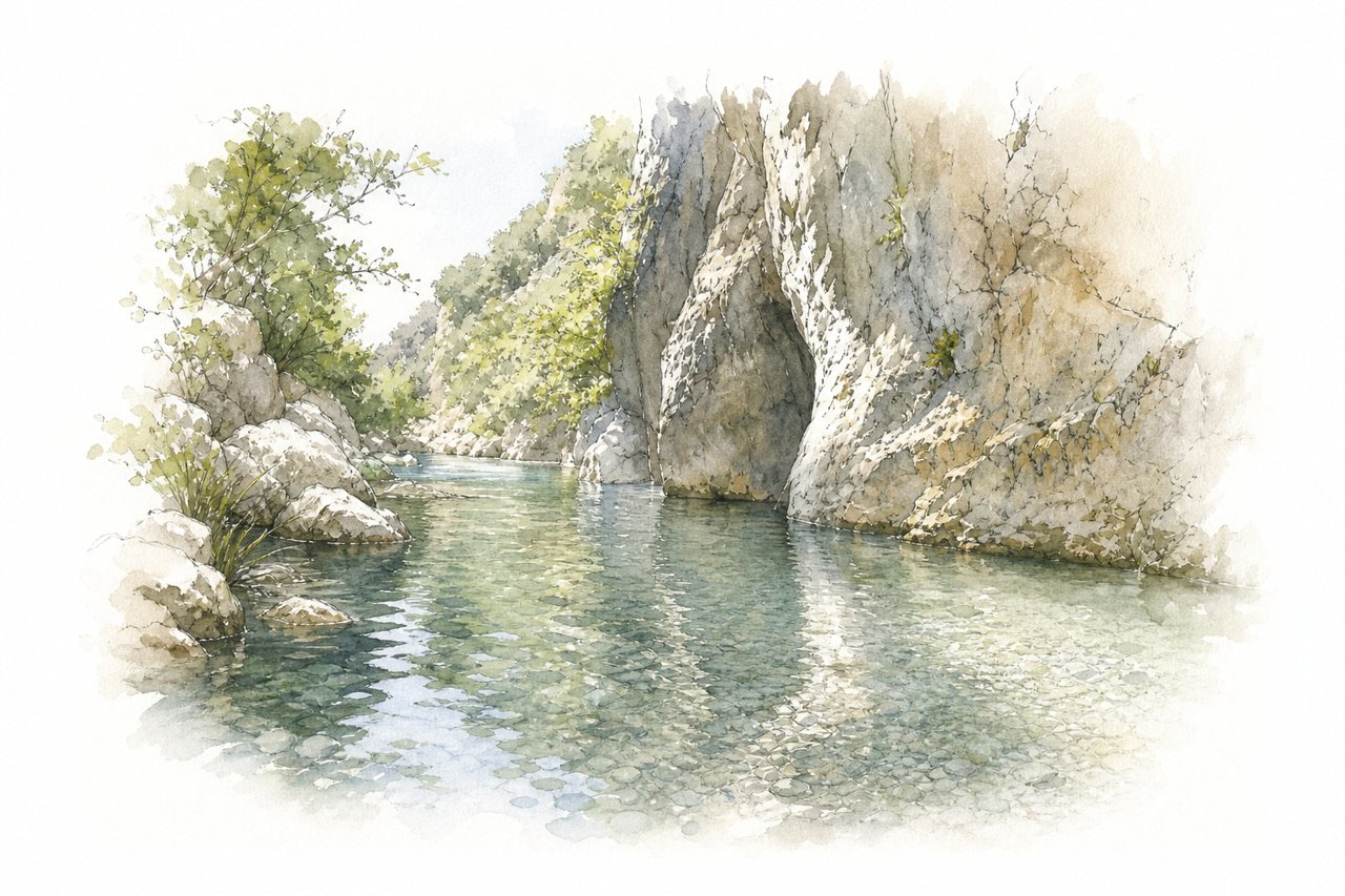
A narrow gorge with rock walls, where cold, clear spring water runs along the riverbed. Visitors walk upstream through the water, sometimes swimming short stretches, and some ride boats into the gorge.
Highlights
- Narrows past the bridge
- Springs bubbling from the rocks
- Plane trees along the riverbank
Good to know
- Free parking at the trailhead
- Water shoes and waterproof bag essential
- Go early, crowded after mid-morning
-
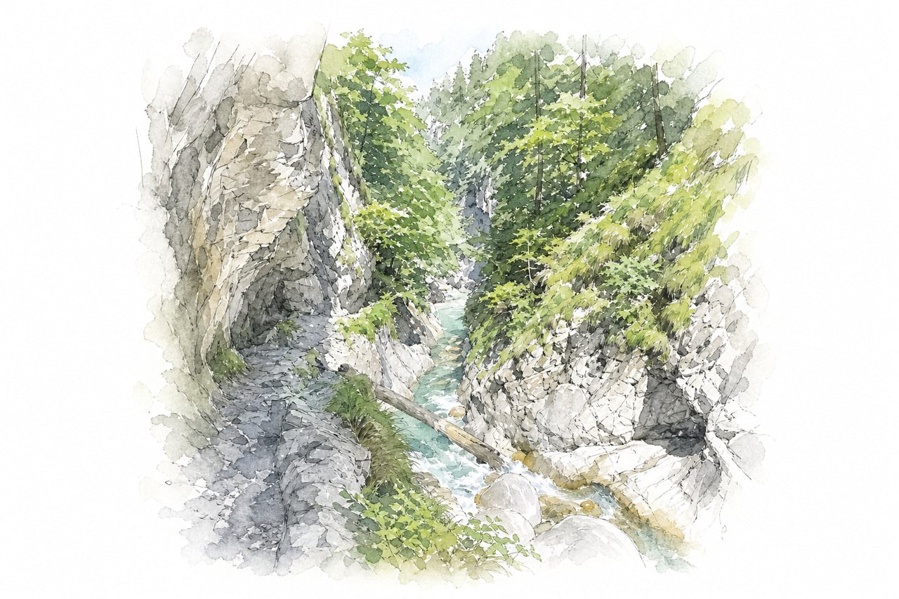
A narrow gorge with steep rock walls, a fast stream and many waterfalls, divided into four sections. Visitors walk along the water on narrow paths, across bridges and past steel cables, with the upper sections described as demanding and a forest loop for the return.
Highlights
- Waterfalls in section four
- Ida Warte platform
- Stream pools for wading
Good to know
- Entry fee about €6 to €7 per person
- Free parking at the entrance
- Sturdy shoes with grip essential
-
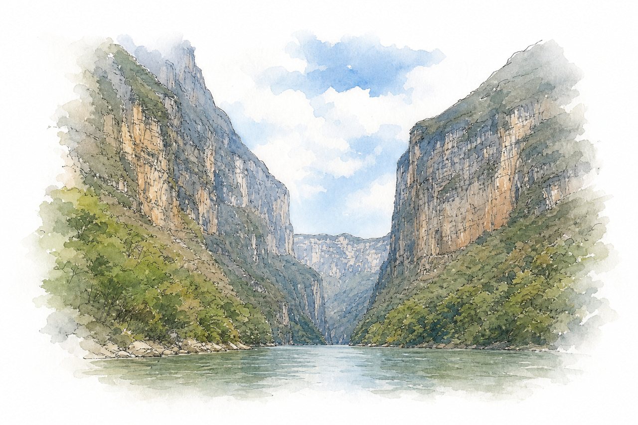
Deep rock walls, some over 1,000 meters high, enclose the Grijalva River as it runs through a narrow gorge. Visitors see it from five rim viewpoints along the road and on boat trips from Chiapa de Corzo.
Highlights
- Five rim viewpoints
- Christmas Tree waterfall
- Grijalva River boat route
Good to know
- Boat tour lasts about two hours
- Boat fares range from 260 to 400 pesos
- Bring sunscreen, a hat, and arrive early
-
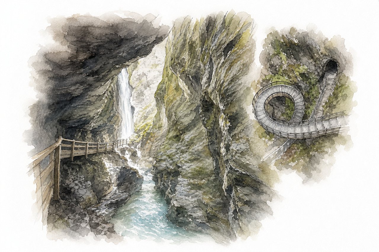
The gorge is narrow, with steep rock walls, a rushing river and a waterfall at its far end. Visitors walk a path cut into the rock, with metal bridges, a helix staircase and tunnels, and say the route is crowded and costly for its length.
Highlights
- Helix staircase
- Waterfall at the end
- Rock tunnels and metal bridges
Good to know
- €15–16 per person, online tickets cheaper
- About one hour out and back
- Many steps, no step-free access
-
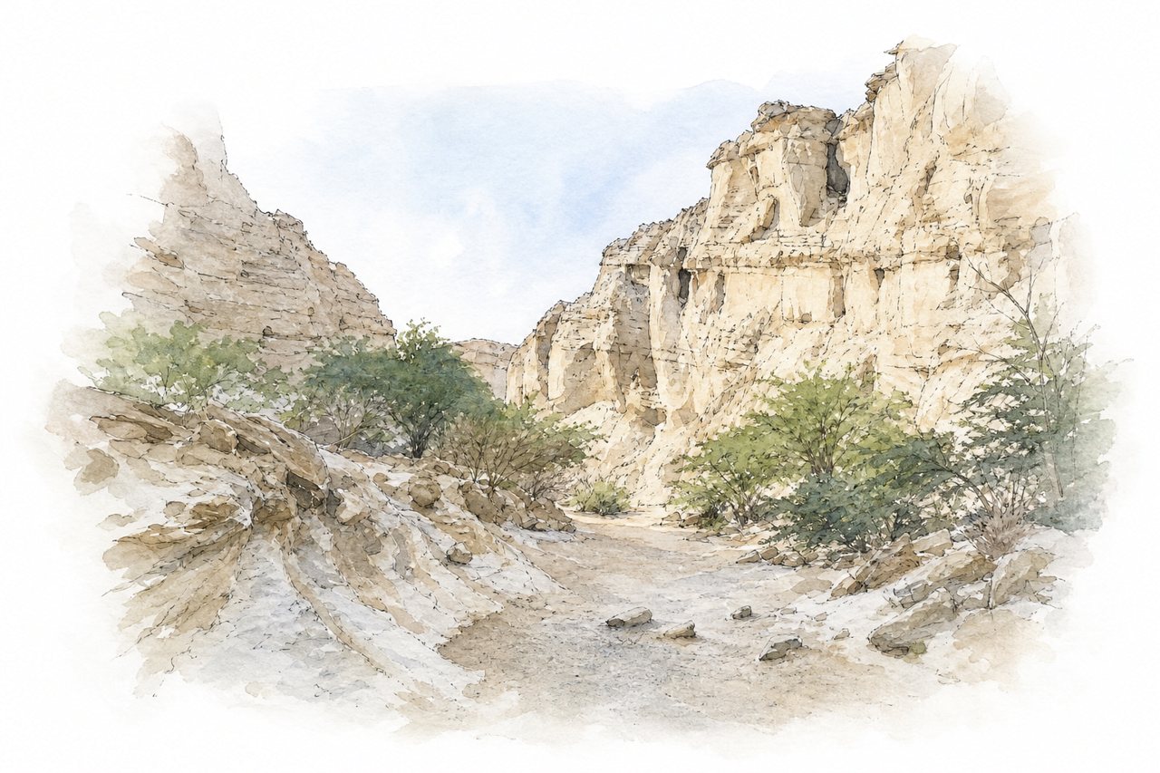
Sandstone and limestone walls rise up to 100 meters on either side of a gorge carved by wind and rainwater. The passage narrows to about half a meter in places, and visitors walk a path through it past old hand-dug wells.
Highlights
- Walls up to 100 meters
- Narrow passages inside gorge
- Four hand-dug wells
Good to know
- Entrance fee paid at ticket booth
- Walk of about 20 to 30 minutes each way
- Slippery parts, wear proper shoes
-
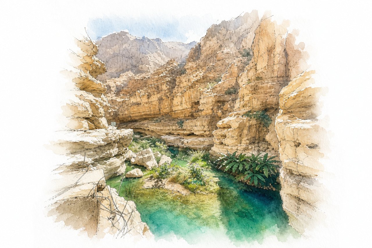
A gorge with tall rock cliffs, a turquoise river, and a narrow passage to a cave with a waterfall. Visitors take a small boat across the river, then hike and swim through the pools to the cave.
Highlights
- Hidden cave with waterfall
- Turquoise pools along the gorge
- Boat crossing from parking area
Good to know
- Boat across river costs 1 OMR per person
- Walk takes about 40 to 45 minutes
- Boats run until 6 PM
-
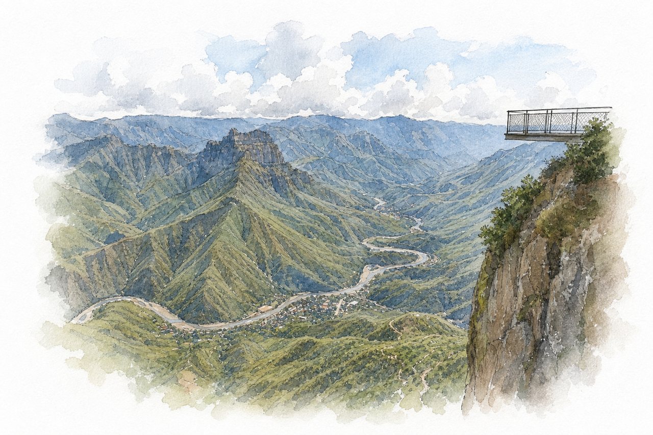
Deep rock canyon in the Sierra Tarahumara, about 1,200 meters down to the Urique River, with the town of Urique on the valley floor. Visitors see it from rim viewpoints reached by dirt road, a suspension bridge, or a hike from Cerocahui.
Highlights
- Gallego viewpoint
- Suspension bridge viewpoint
- Urique River
Good to know
- Entrance fee 25 to 50 pesos per person
- Unpaved dirt road, tour or 4x4 advised
- Viewpoint and restrooms may be closed
-
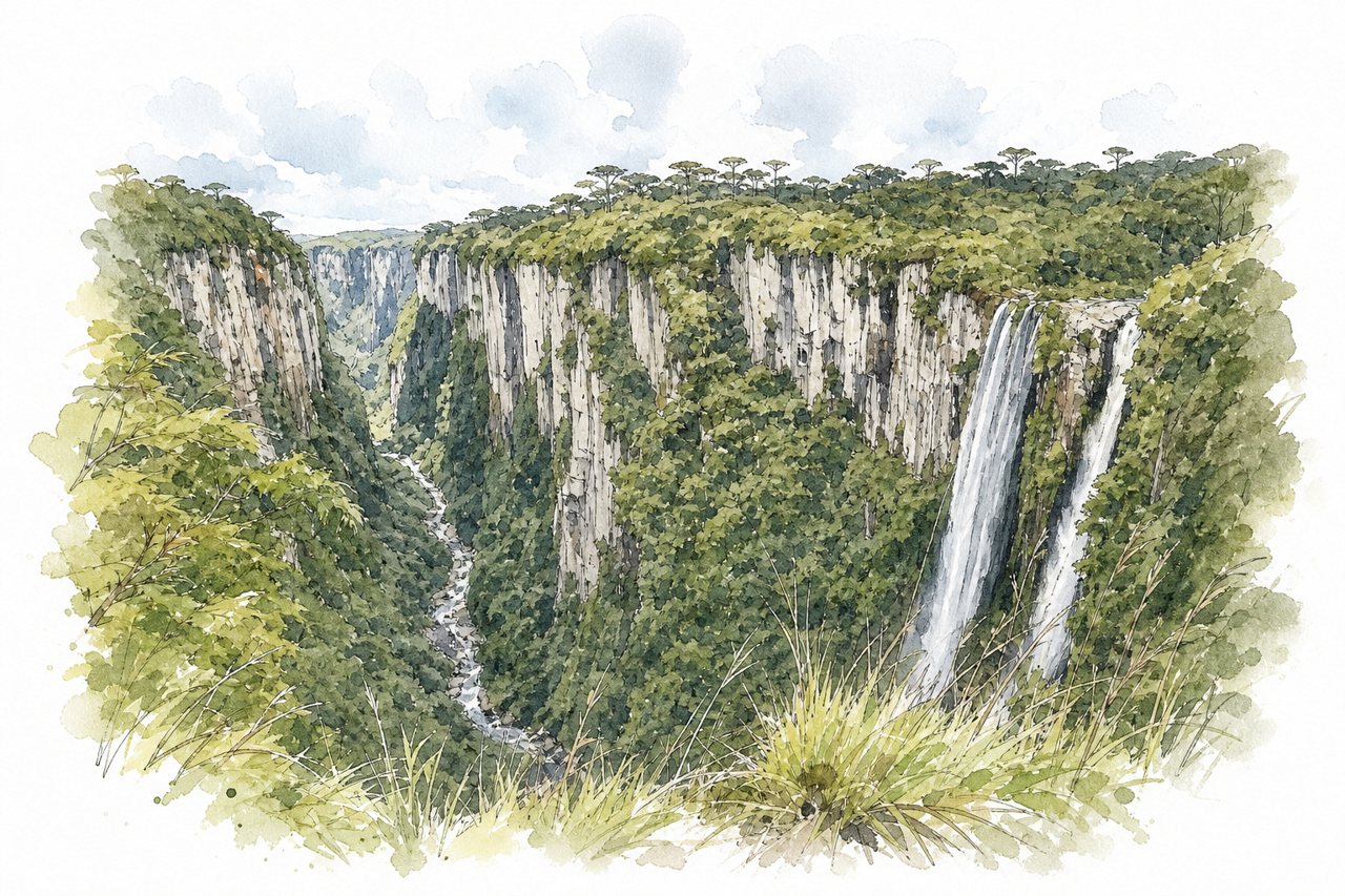
A gorge of stone walls about 600 metres high, the Arroio Perdizes stream runs through it so narrow that the walls look knife-cut from above. Visitors look down from rim viewpoints and walk marked trails, some by rented bicycle.
Highlights
- Cotovelo trail
- Vértice trail with wooden bridge
- Arroio Perdizes waterfall
Good to know
- Entry about R$90–100 per person, plus parking
- Unpaved 18 km road from Cambará do Sul
- Fog common early morning and late afternoon
-
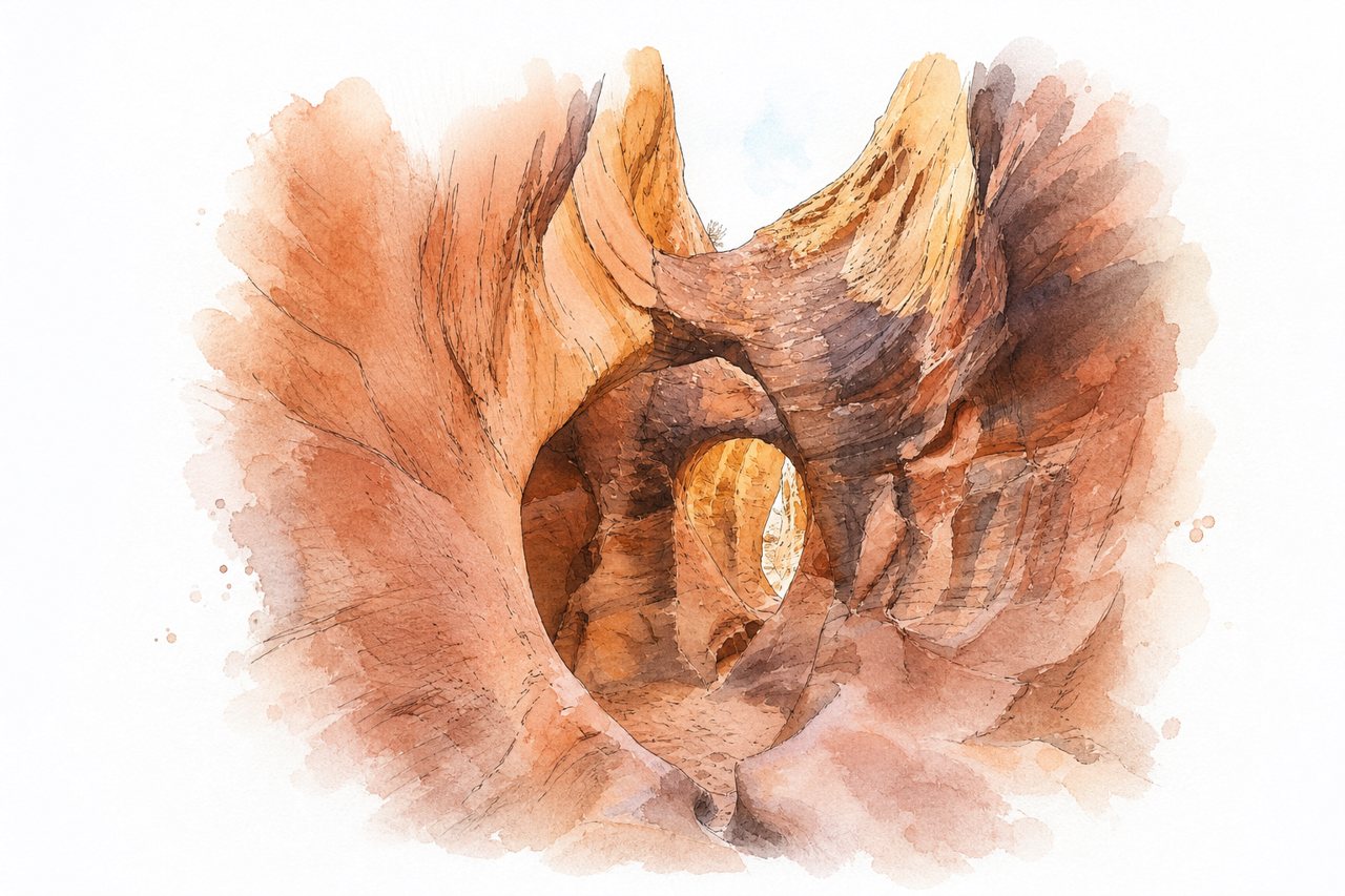
Peek-a-boo is a sandstone slot canyon so narrow that hikers squeeze and remove packs in places, reached after a 12 to 15 foot climb. Visitors hike a rim trail down into the wash, then walk the narrows as a loop with Spooky Canyon.
Highlights
- Peek-a-boo entrance climb
- Spooky Canyon narrows
- Dry Fork Narrows
Good to know
- Hole-in-the-Rock Road is unpaved washboard, about an hour
- Arrive early to avoid heat and crowds
- Trail is poorly marked, follow rock cairns
-
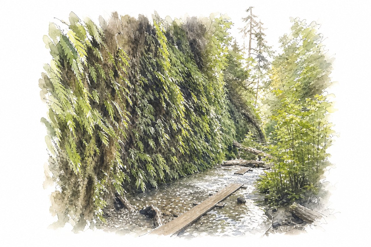
A narrow canyon cut into rock, with steep green walls and ferns, and a creek running along its floor. Visitors see it by walking the canyon floor on wooden walkways and logs, with the loop trail forming a short circuit.
Highlights
- Towering fern-covered canyon walls
- Wooden walkways over the creek
- Trickling waterfalls near the walls
Good to know
- Permit or timed reservation required May to September
- Entry fee of $12 paid in cash
- Dirt road with stream crossings to parking
-
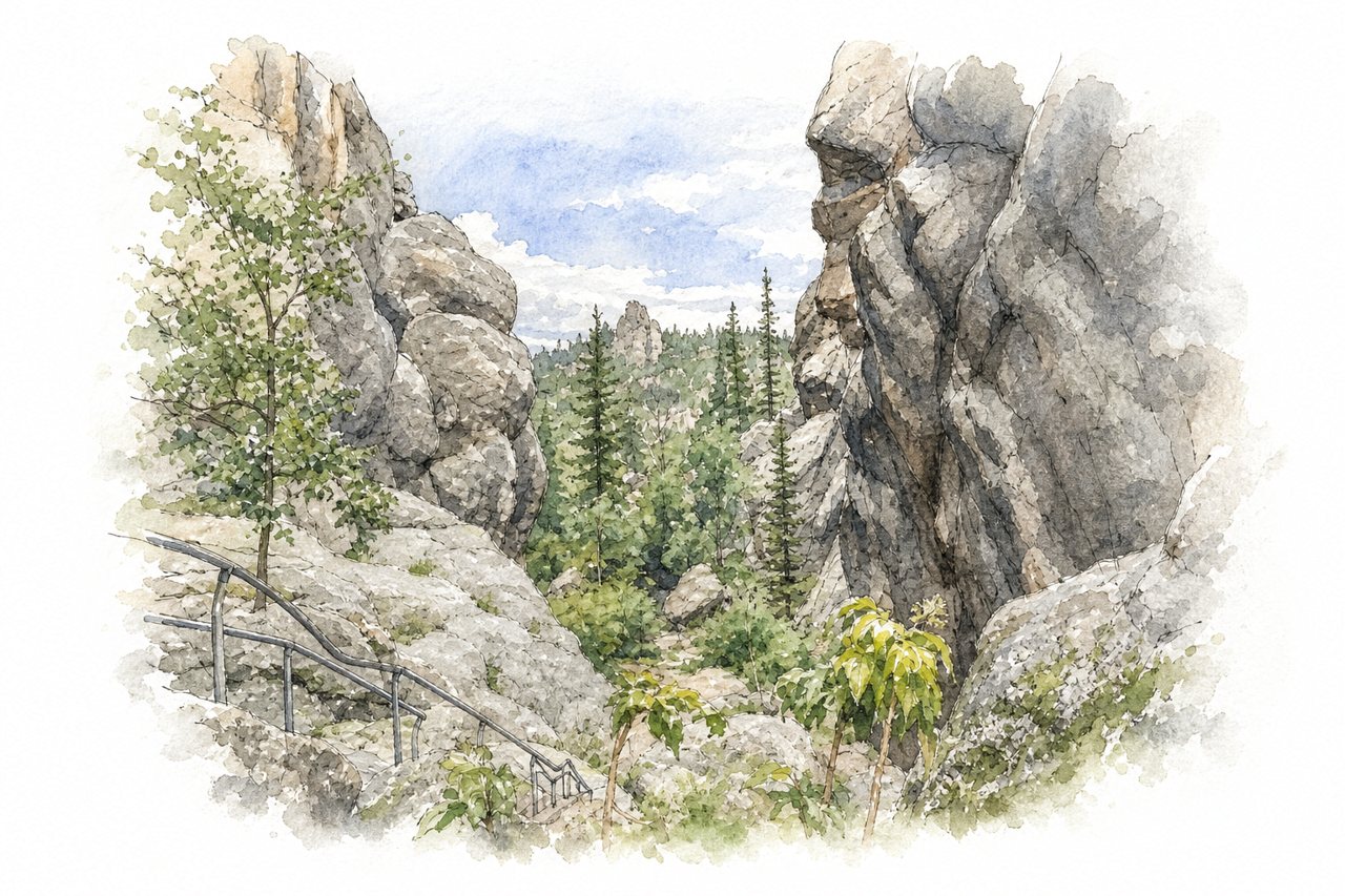
A loop trail drops into a rocky gulch with tall stone walls and a stream running through it. Visitors go down boulders with metal railings into the gulch, then return through shaded forest.
Highlights
- Boulder section with metal railings
- Stream with small waterfalls
- Gulch rock walls
Good to know
- Counterclockwise recommended, so steep rocks come first
- About 3 miles, 2 to 4 hours on foot
- Parking is tight at Sylvan Lake, arrive early
-
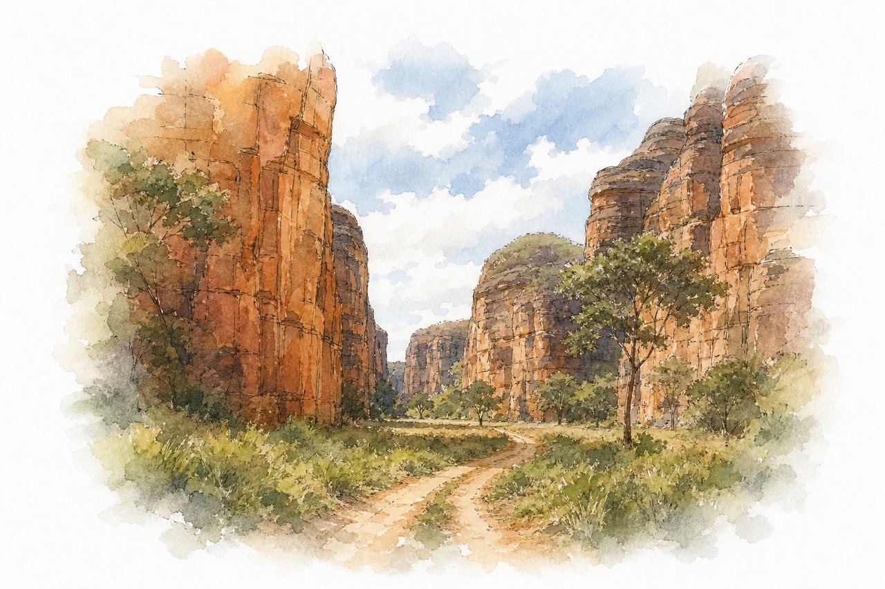
Reddish sandstone walls rise over sandy backcountry roads, with rock formations stretching for kilometres. Visitors drive or ride through in 4x4s, motorcycles or bikes, often with a guide, and hike among the formations.
Highlights
- Gruta dos Viana cave
- Rock walls several kilometres long
- River crossing on the route
Good to know
- 4x4 needed for sandy sections
- Bring all supplies, no support infrastructure on site
- Route runs about 30 km inside canyon
-
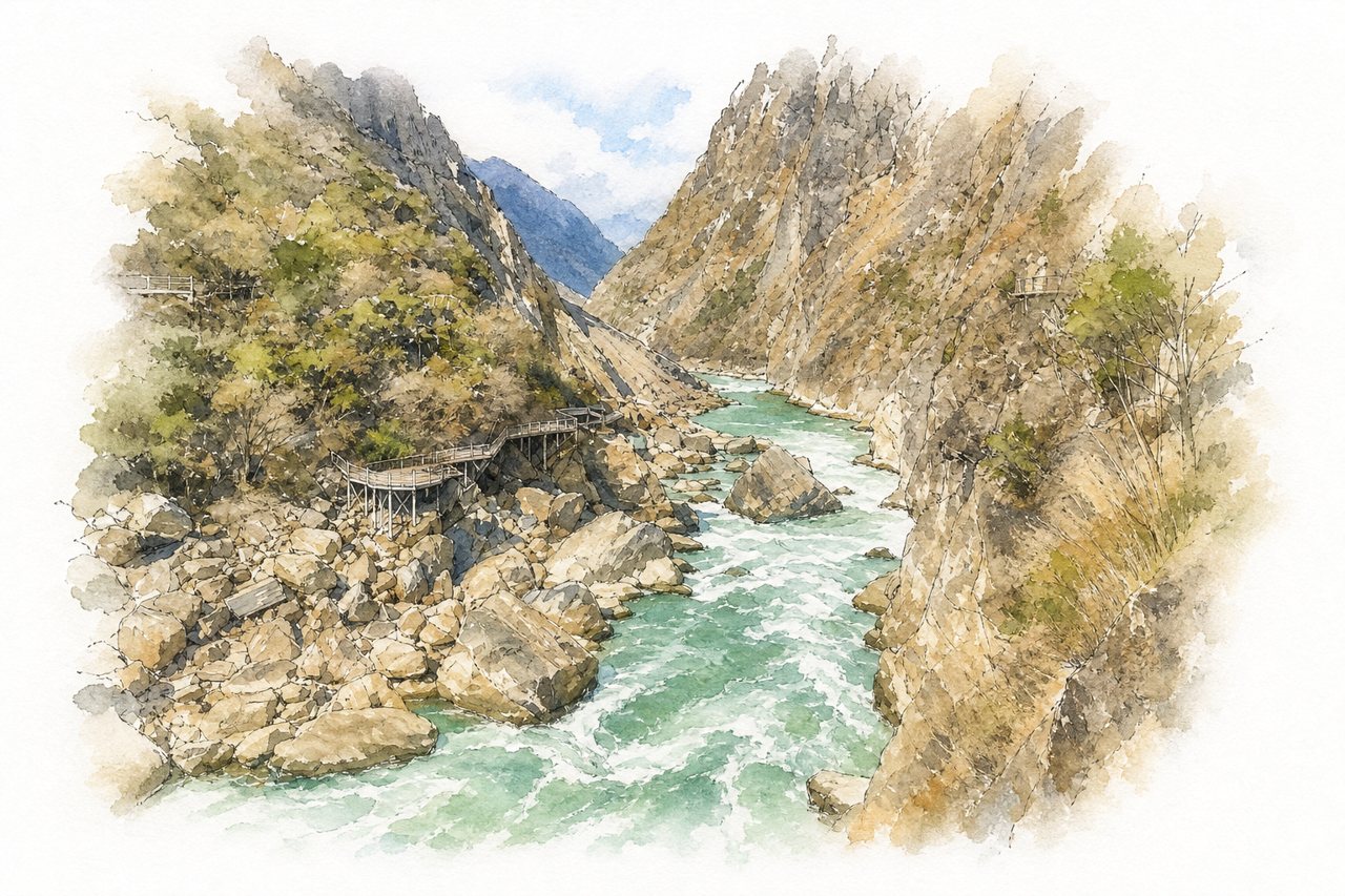
Steep rock cliffs rise on both sides of the Jinsha River as it narrows through the gorge. Visitors view it from boardwalks and platforms reached by escalators, or hike the high trail above.
Highlights
- Tiger Leaping Rock
- Jinsha River rapids
- Escalator viewing platforms
Good to know
- Escalator tickets around 70 yuan each way
- Many stairs, steep in places, not wheelchair friendly
- Rainy season May to July, water turns muddy
-
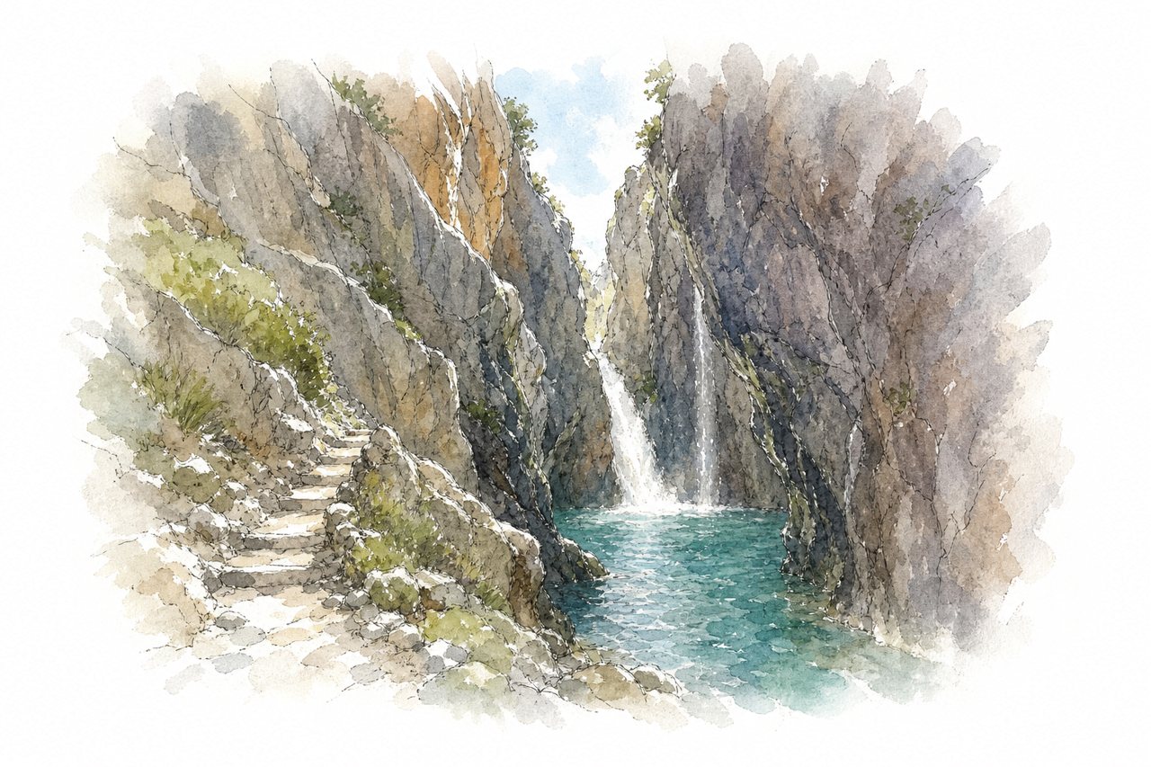
The gorge is a narrow cut in pale rock with a cold river running along its floor and a waterfall at the end. Visitors look from the rim, walk a gravel path and stone steps down to the water, then swim the last few metres to the falls.
Highlights
- Waterfall at the end
- Cold swim to the falls
- Stone steps down
Good to know
- Entry €5 per person, card only
- Free parking above the entrance
- About 15 minutes walk down, steps back up
-
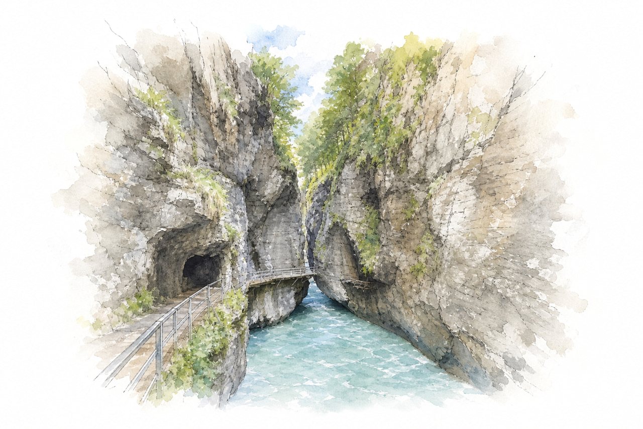
A narrow gorge with towering rock walls on both sides, cut by the Aare River. Wooden walkways and hand-dug tunnels are attached to the cliffs, and summer brings heavy crowds.
Highlights
- Wooden walkways along the cliffs
- Hand-dug tunnels
- Turquoise Aare River
Good to know
- Entry about 13 CHF, discounts with guest card
- About 40 minutes on foot through gorge
- Stairs and narrow passages, hard with strollers
-
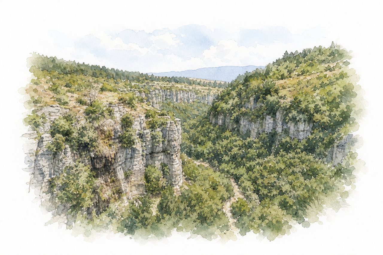
Steep rock walls rise 800 to 1,200 meters above a river in a narrow gorge. Visitors walk about 1 km through forest to a spiral terrace over the rim, with stairs at the end.
Highlights
- Spiral Terrace viewing platform
- Forest path to terrace
- Kerte Glass Terrace
Good to know
- Entrance fee 75 TL adults, half for students
- About 1 km walk, steep on the return
- Free parking and restrooms at Erol's Place
-
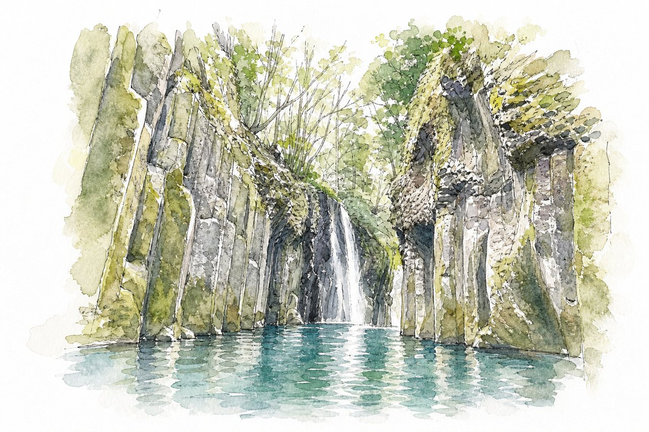
Takachiho Gorge is a deep, narrow canyon of columnar volcanic cliffs cut by the Gokase River. Visitors see it from rim viewpoints, along a walking path down to the water, or by rowing a boat close to the falls.
Highlights
- Manai Falls
- Columnar jointed cliffs
- Gokase River boating
Good to know
- Boat tickets sell out fast; book online two weeks ahead
- Parking fills early; shuttle bus 300 yen each way
- Steep walk from upper parking lots
-
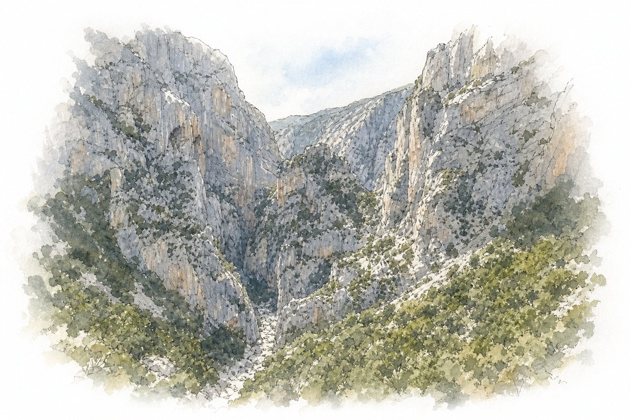
Limestone gorge cut by the Flumineddu river, with walls up to 500 metres high and a narrow floor. Visitors reach it by a long downhill hike from Genna Silana, then scramble over boulders through green, yellow and red sections.
Highlights
- Gorge walls up to 500 metres
- Green, yellow and red sections
- Natural drinking water spring
Good to know
- Entrance €6 per person, cash only
- Hike takes about 1.5 to 2 hours down
- Jeep return costs €18 per person
-
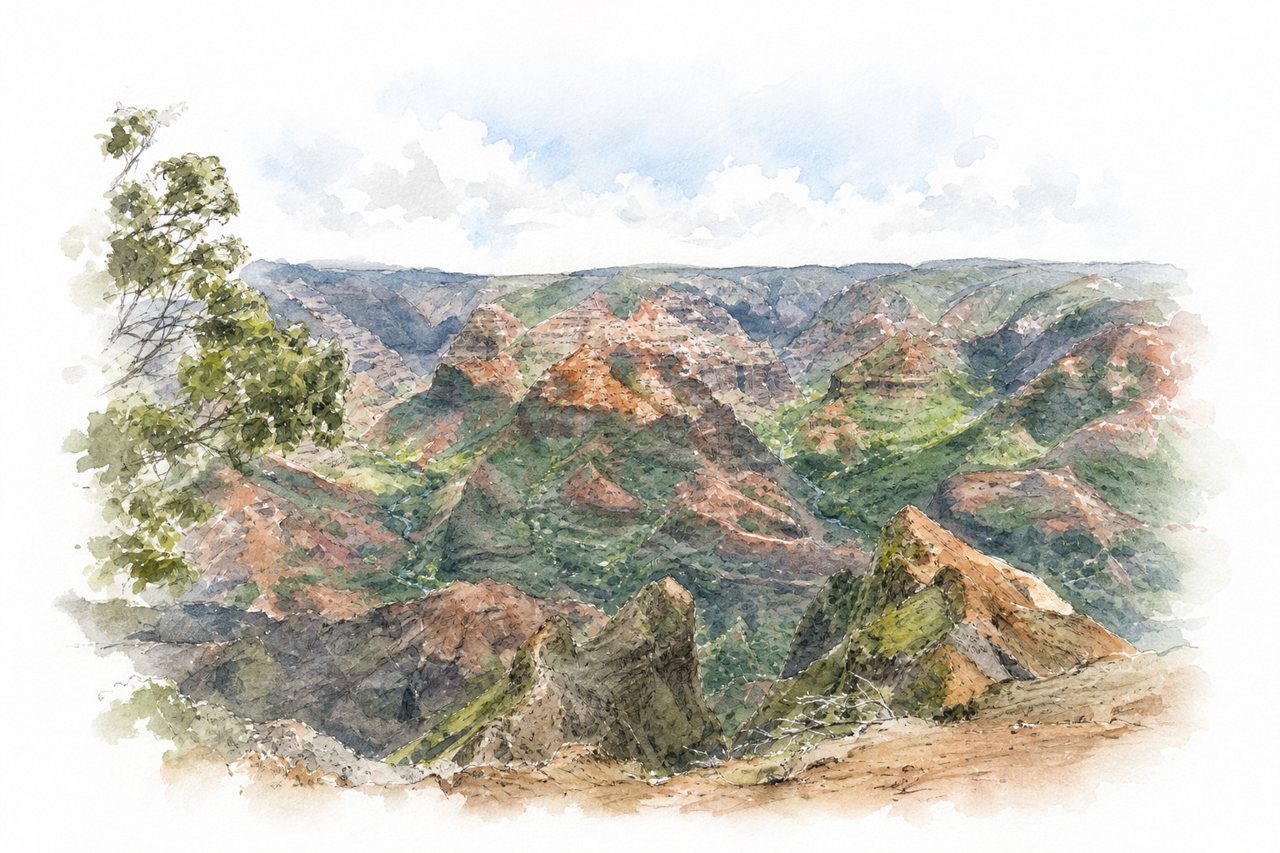
A red and green canyon with steep cliffs, deep valleys and a river running along its floor. Visitors view it from roadside lookouts at the rim and hike trails down into it toward waterfalls.
Highlights
- Kalalau Lookout
- Pu'u Hinahina lookout
- Canyon Trail to Waipoo Falls
Good to know
- $10 per vehicle plus $5 per person
- Trails slippery and muddy after rain
- Go early to avoid fog
-
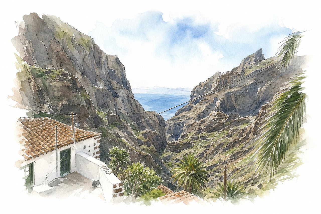
Vertical rock walls close in on a ravine descending about 700 metres to the sea, with a stream crossed along the way. Visitors reach it from the village of Masca, follow a trail down through the gorge, then return by boat to Los Gigantes.
Highlights
- Vertical cliffs along the trail
- Los Gigantes cliffs from boat
- Masca village starting viewpoint
Good to know
- Entry about €30 to €40, booked online
- Boat back to Los Gigantes extra, €25
- Closed hiking boots checked at entry
-
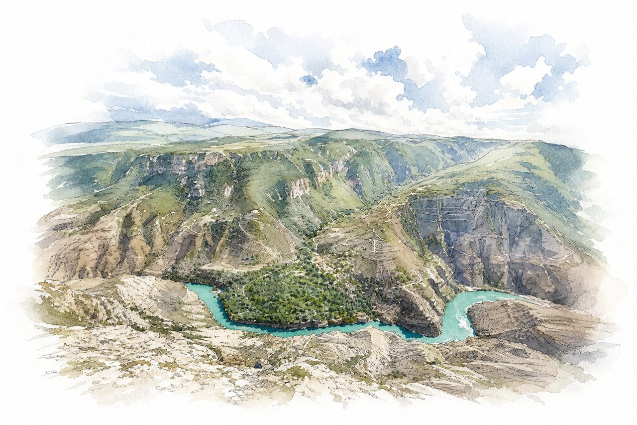
Sulak Canyon is a deep gorge cut by the Sulak River through rock walls between mountain ranges, with turquoise water below. Visitors look down from rim observation decks, walk bridges and tunnels, take boat rides on the river, or go down with a guided tour.
Highlights
- Dubki observation deck
- Boat rides on the river
- Hanging bridges and tunnels
Good to know
- Entry to the area is free
- Getting down needs a guide or tour
- Boat rides cost about 3,000 rubles
-
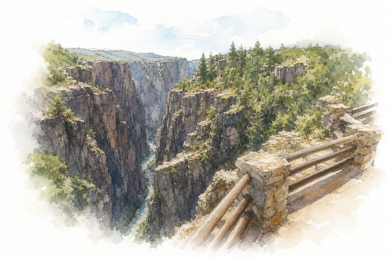
Steep, dark rock walls drop hundreds of feet to the Gunnison River in a narrow canyon. Visitors mostly drive the South Rim road and stop at overlooks, with short walks and some longer trails.
Highlights
- Painted Wall
- Warner Point trail
- South Rim overlooks
Good to know
- Parking limited at overlooks and visitor center
- Steep, slippery overlooks, wear shoes with grip
- Fire-damaged areas, some loops closed
-
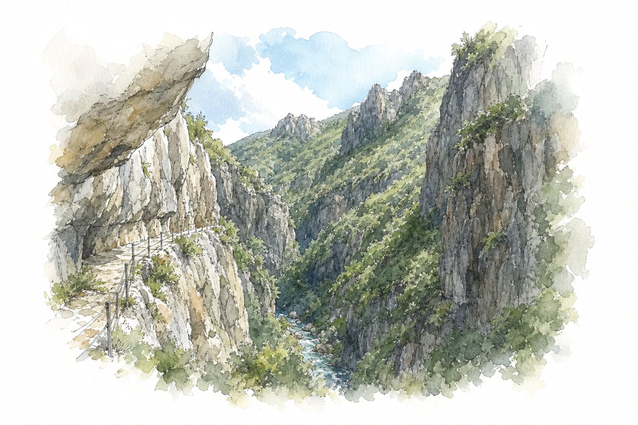
Narrow rock gorge cut by the Carança river, with cliff walls rising above the water. Visitors follow ledges, metal walkways and suspension bridges along the cliff face, with views down into the canyon from the ridge.
Highlights
- Ledge carved into rock
- Suspension rope bridges
- Metal walkways and stairs
Good to know
- Paid parking, roughly €4 to €10
- Not suitable for children or dogs
- Poor signage, download a GPX track
-
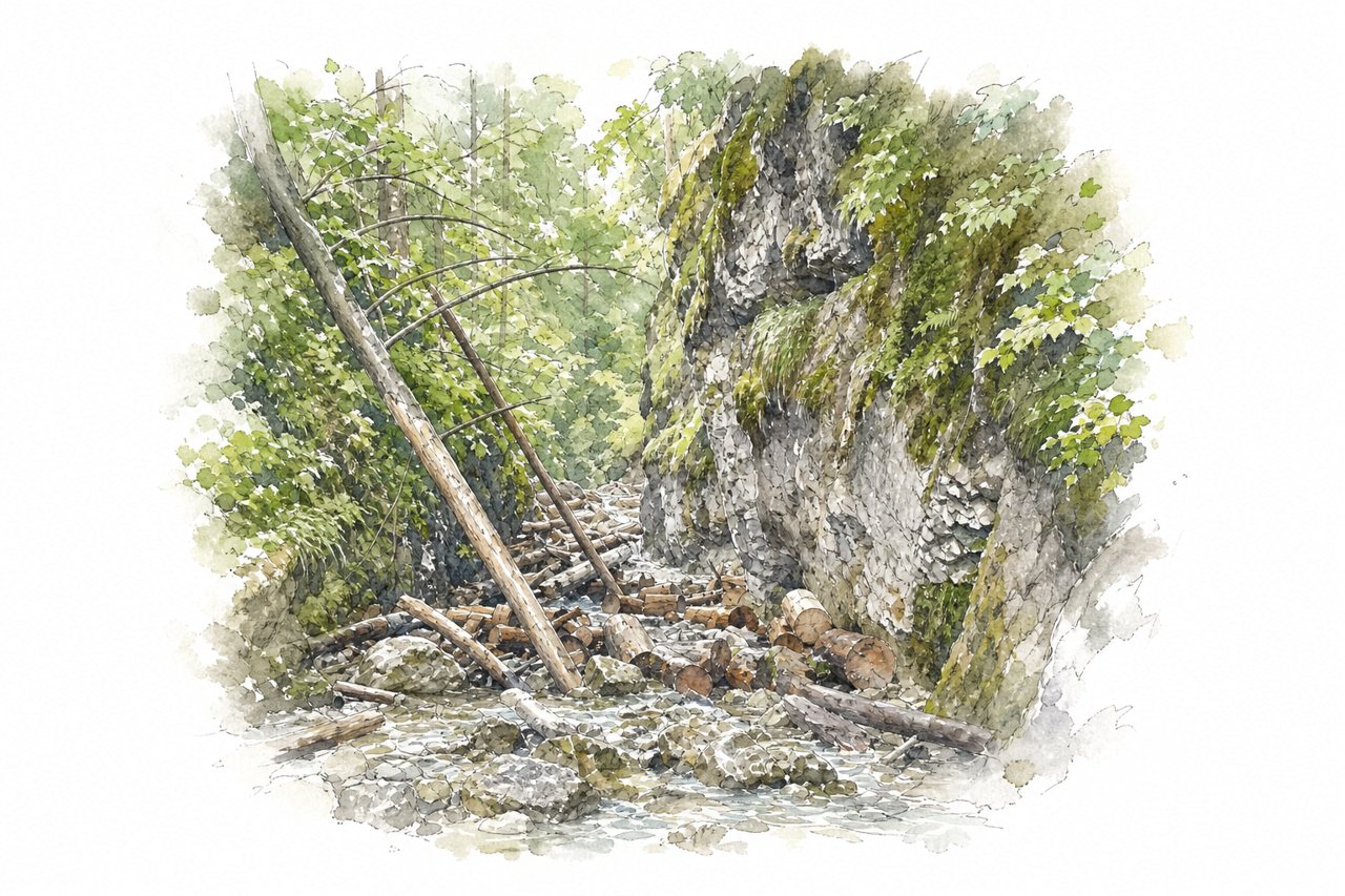
A narrow gorge cut by a stream, with wet rock walls and waterfalls. Visitors walk the streambed on wooden bridges, logs and metal ladders, and some return by bike on the gravel road.
Highlights
- Tall metal ladders
- Waterfalls and pools
- Wooden footbridges and logs
Good to know
- Entrance fee about 4 euros for adults
- Queues of one to three hours at first ladder
- Waterproof shoes needed, trail runs through water
-
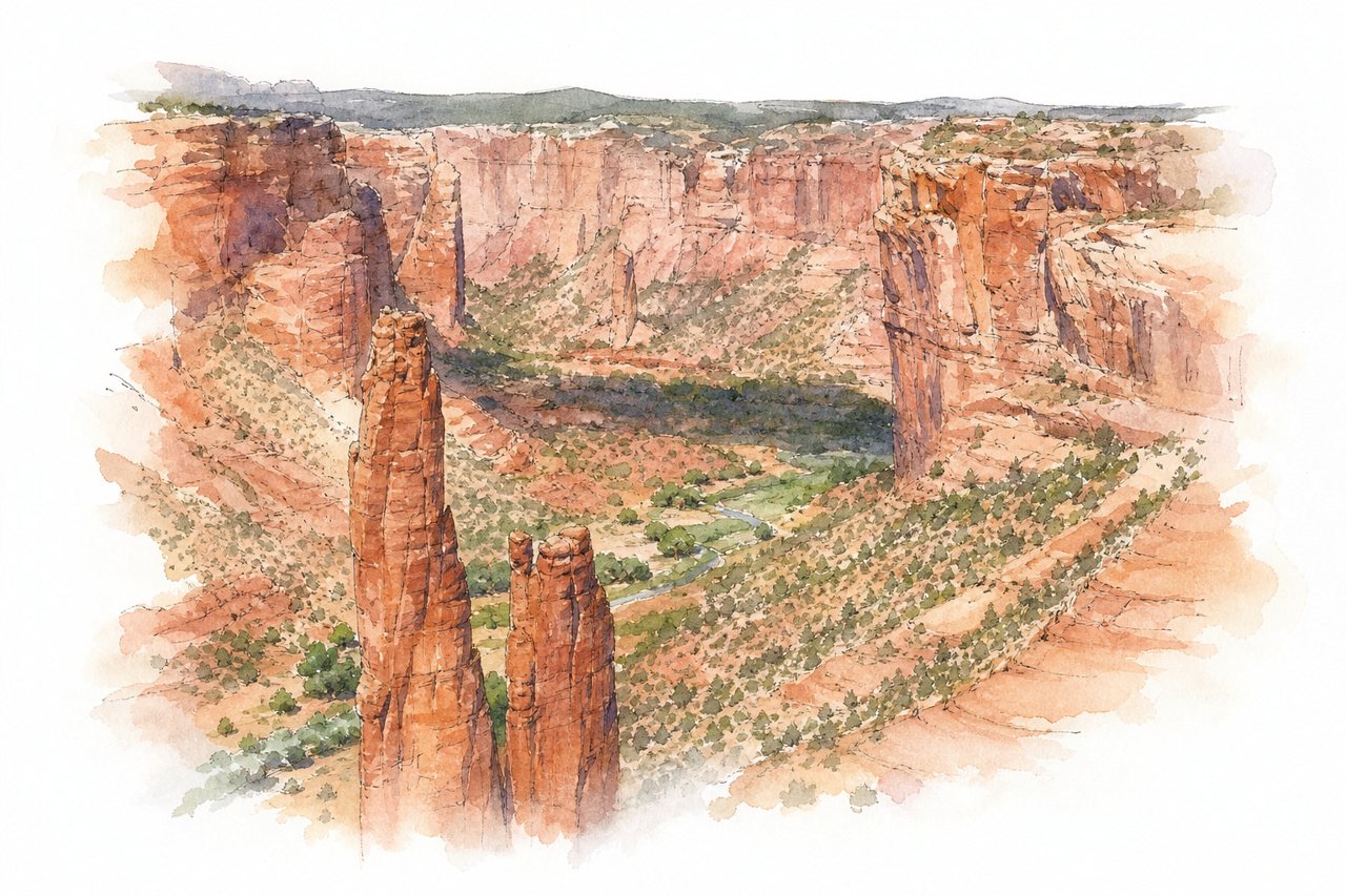
Canyon de Chelly is a red sandstone canyon with towering cliffs, ancient ruins and a river running through its floor. Visitors mostly view it from rim overlooks on the north and south sides, and reach the floor by Navajo-guided jeep tour or on foot.
Highlights
- Spider Rock overlook
- South Rim overlooks
- White House ruins
Good to know
- Rim drive is free by car
- Navajo guide required for canyon floor
- White House trail closed at times
-
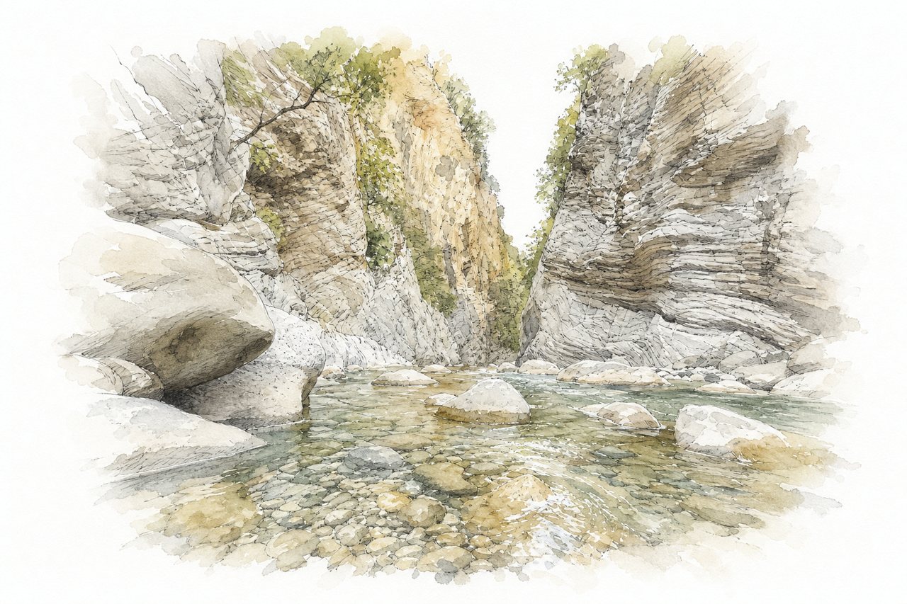
Panta Vrechi is a narrow gorge of rock walls where icy river water runs over stones and falls in many small cascades. Visitors reach it by dirt road, then walk up the river bed for about an hour to the waterfalls.
Highlights
- Waterfalls at the gorge end
- Icy river crossings
- Rock walls and rain veil
Good to know
- Dirt road from Prodromos or Roska, about 12 kilometers
- High car or 4x4 advised, especially from Kaliakouda
- River shoes and swimsuit needed, water waist-deep
-
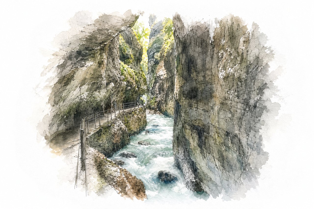
Narrow limestone gorge with walls up to 80 meters, carved by a turquoise river. Visitors walk a path through tunnels and galleries, with views from trails above.
Highlights
- Narrow tunnels carved into rock
- Turquoise water and waterfalls
- Iron bridge above gorge
Good to know
- Adult entry €10, tickets at booth or machines
- Parking at ski jump fills early, 30-minute walk
- Flashlight advised for dark, low tunnels
-
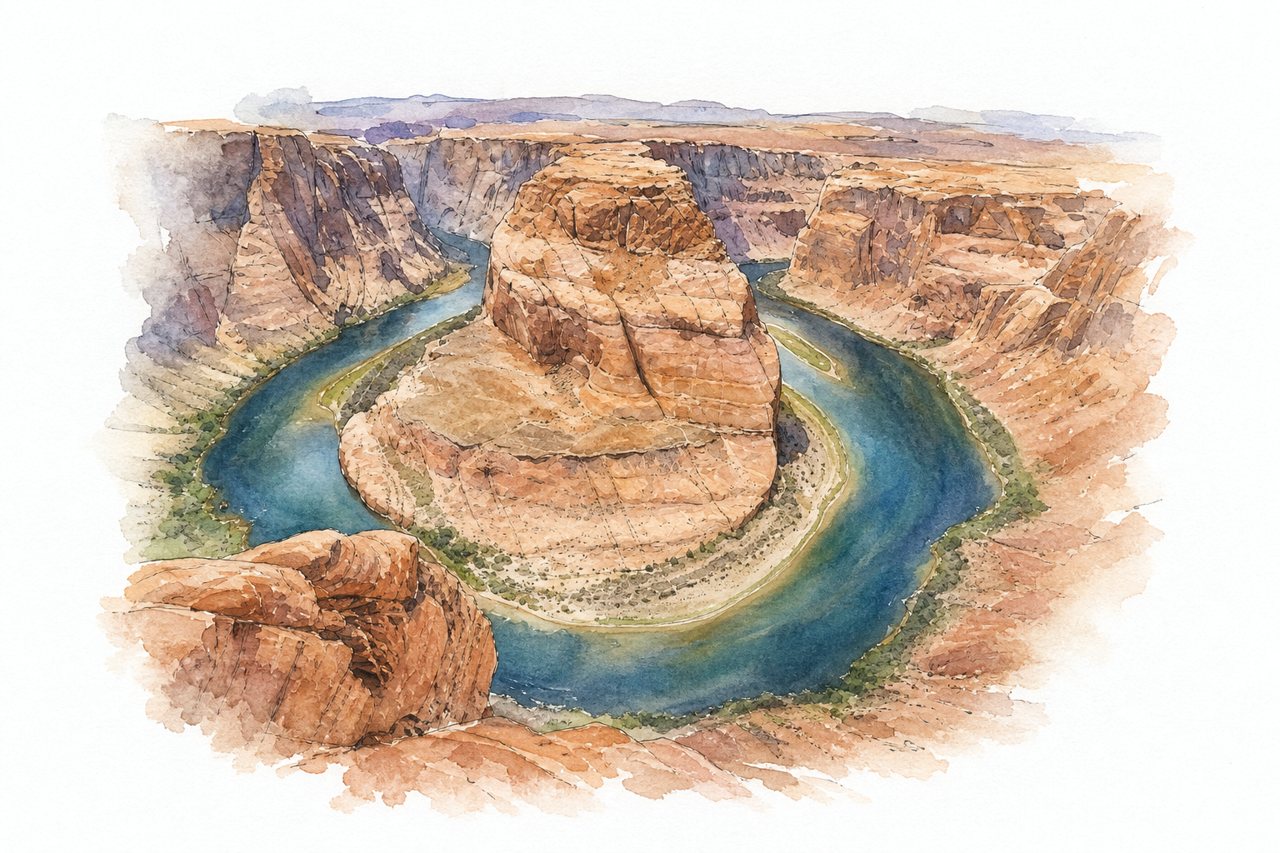
A horseshoe-shaped gorge where the Colorado River loops around red sandstone cliffs about 1,000 feet above the water. Visitors walk a gravel trail from the parking lot to a cliffside deck at the rim, with little shade and no fence along parts of the edge.
Highlights
- Cliffside observation deck
- Red sandstone cliffs
- Emerald green river
Good to know
- Parking costs $10 per vehicle
- National Park Passes not accepted
- Walk of 1 to 1.5 miles from parking
-
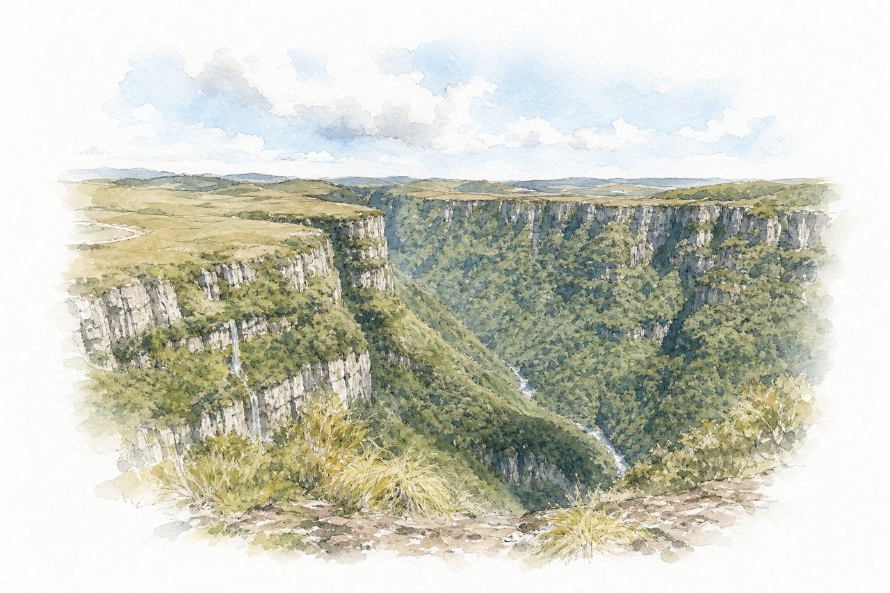
The canyon is a deep gorge with tall rock walls and a river at its base. Visitors see it from rim viewpoints along trails, some with no edge barriers, and from a zip line running above the gorge.
Highlights
- Mirante trail
- Zip line viewpoint
- Black Tiger Waterfall
Good to know
- Entry R$107 per person, valid seven days
- Parking R$20 per visit
- Last stretch of dirt road, drive slowly
-
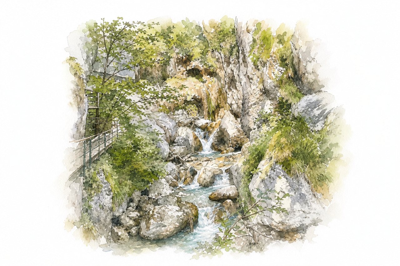
A rock-walled gorge cut by a clear mountain stream, with narrow sections and waterfalls. Visitors follow a marked trail of steps, wooden walkways and suspension bridges through it, then return by bus.
Highlights
- Devil's Bridge
- Tschauko Waterfall
- Wooden walkways on rock face
Good to know
- Adult entrance about €12.50, includes return bus
- Parking extra, about €6 for the day
- Two to three hours on foot, steep steps
-
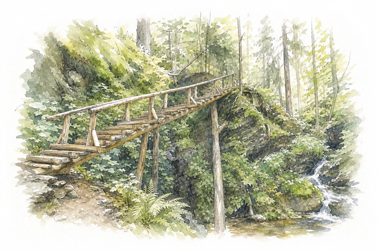
A deep, narrow valley where the Bílá Opava stream runs between rock walls, with waterfalls and pools. Visitors walk a trail along the river on wooden footbridges and steps, often looping to Praděd.
Highlights
- Waterfalls and pools
- Wooden bridges and footbridges
- Yellow trail along the river
Good to know
- Yellow trail up, blue trail down
- Sturdy shoes needed, icy in winter
- Park at Karlova Studánka, not upper lot
-
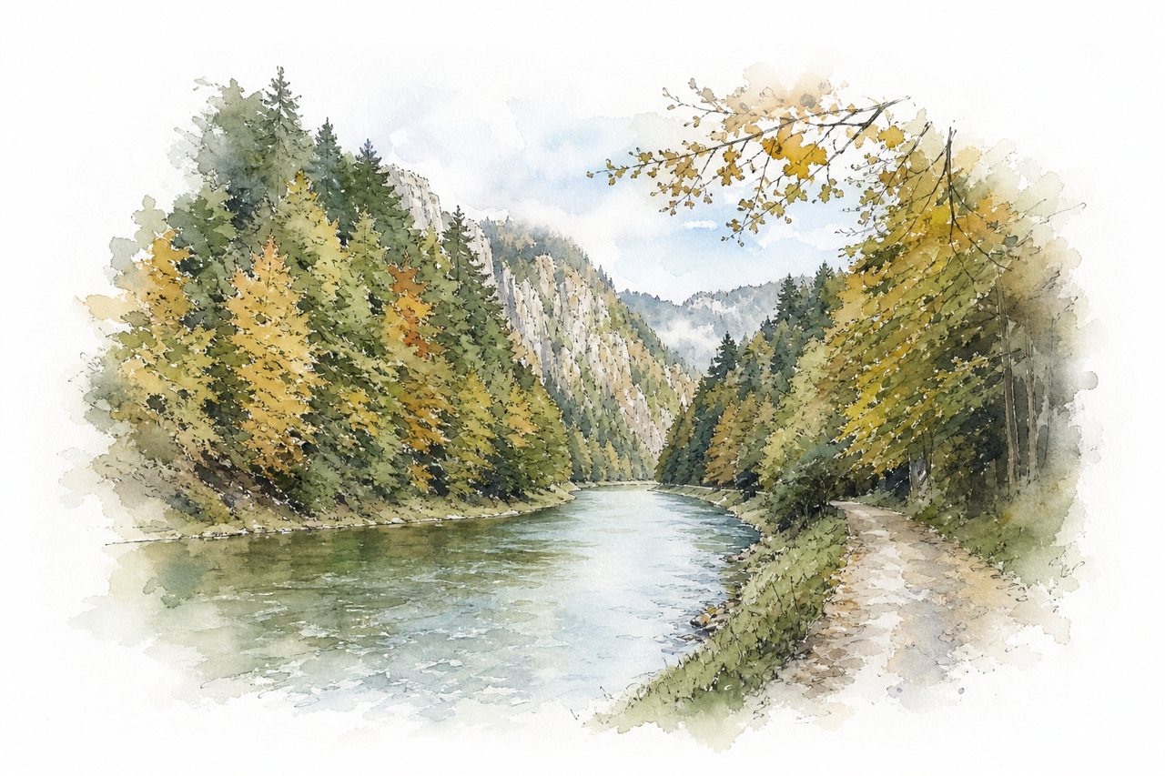
Limestone walls up to 300 m rise above the Dunajec River in an 8 km gorge through the Pieniny Mountains. Visitors see the meanders from a flat trail shared by walkers and cyclists, or from a raft with raftsmen.
Highlights
- Three Crowns view from bridge
- Limestone walls above river
- Rafting trip with raftsmen
Good to know
- Walking takes two to two and a half hours
- Cyclists must dismount at marked sections
- Busy on weekends and in summer
-
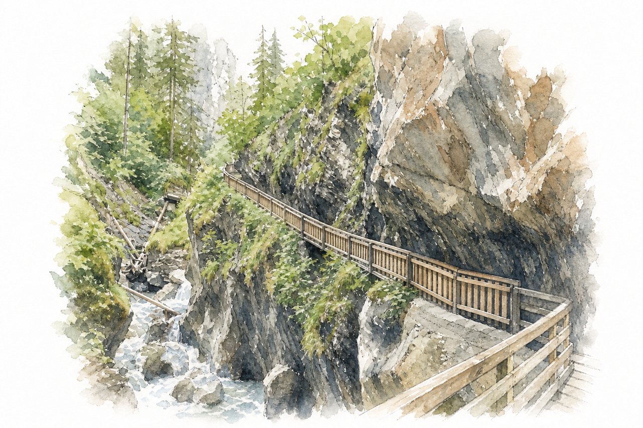
A narrow gorge cut into slate rock by the Rauriser Ache, with steep walls and a waterfall at the entrance. Visitors follow wooden walkways, bridges and steps up along the water, then return on a circular trail past the rim.
Highlights
- Waterfall at the entrance
- Wooden walkways and bridges
- Tunnels and low cave passages
Good to know
- Entrance about 11 euros per adult
- Helmets mandatory, free to borrow on site
- Round trip about 1.5 to 2 hours
-
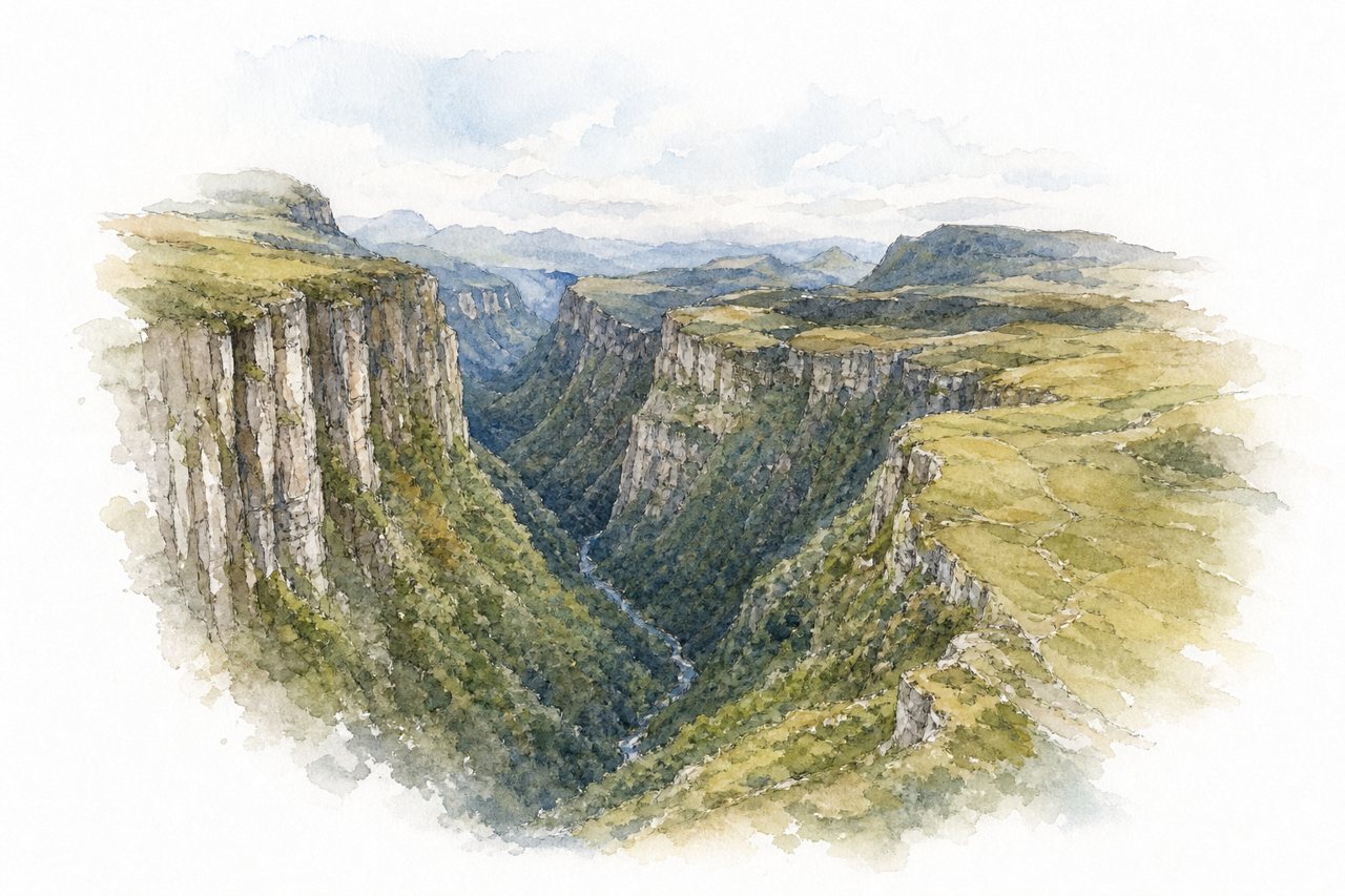
The canyon is a deep gorge of rock walls cut by a river, narrow in places. It is viewed from rim viewpoints and along a walking trail, and the dirt access road needs care, with a 4x4 advised.
Highlights
- Canyon rim viewpoint
- Adão waterfall trail
- Natural pools trail
Good to know
- Entrance fee about R$20 to R$40, cheaper online
- Boots or galoshes rented on site for R$10
- Dirt road steep, 4x4 advised, not required in dry weather
-
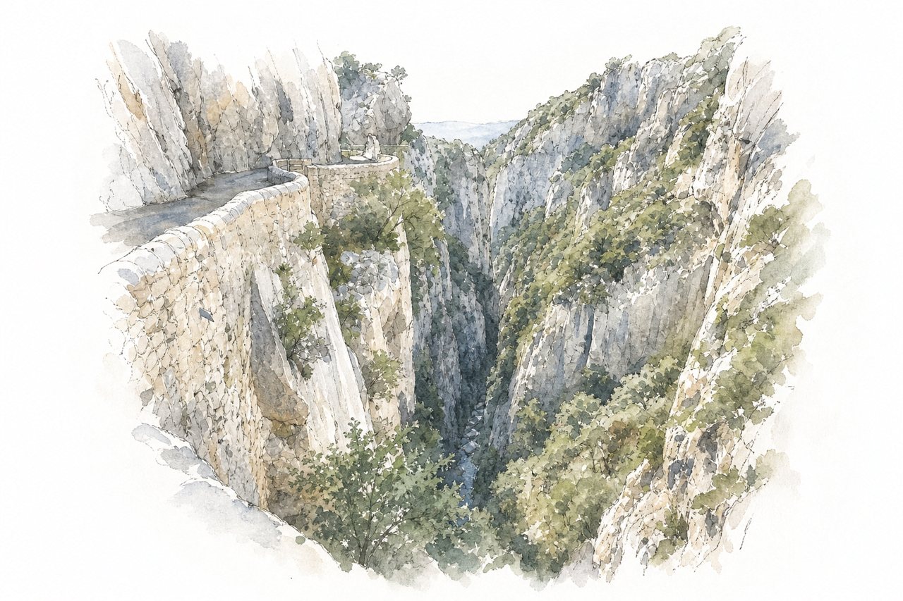
The gorge is deep and narrow in places, with a river running between high rock walls. Visitors see it from roadside viewpoints on a single-lane road cut into the cliff, and on walks to the Saint-Antoine chapel.
Highlights
- Saint-Antoine hermitage chapel
- Single-lane road carved into rock
- Natural swimming pools
Good to know
- Free to visit, canyoning costs extra
- Single lane, traffic lights in summer only
- Hermitage is about 10 minutes' walk
-
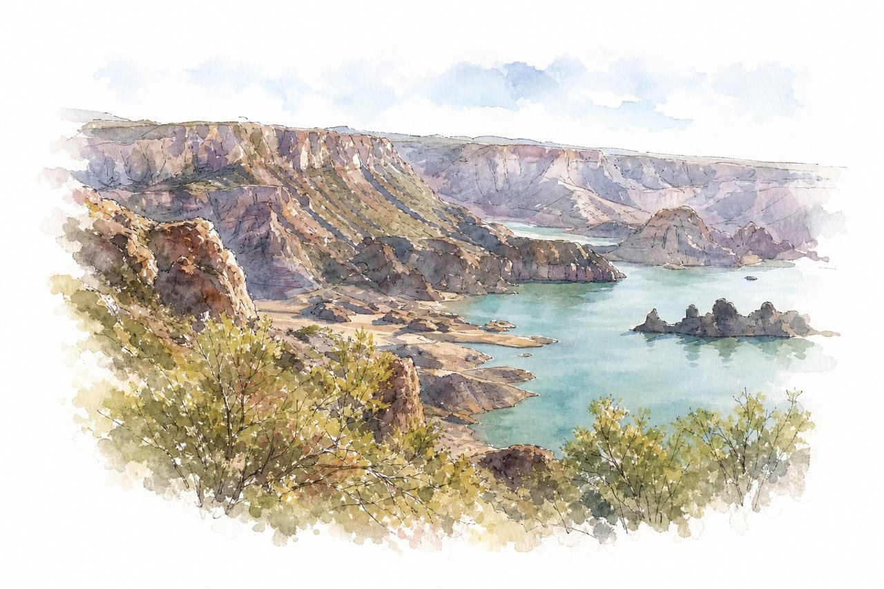
Canyon of coloured rock walls cut by the Atuel River, with a lake at its lower end. Visitors drive a gravel road through it, stopping at roadside pull-offs, and some walk the stretch toward the tunnel.
Highlights
- Roadside stopping points
- Tunnel near the end
- Valle Grande reservoir
Good to know
- Road paved to the dam, gravel after
- Drive takes two to three hours
- Bring food and water, stands often closed
-
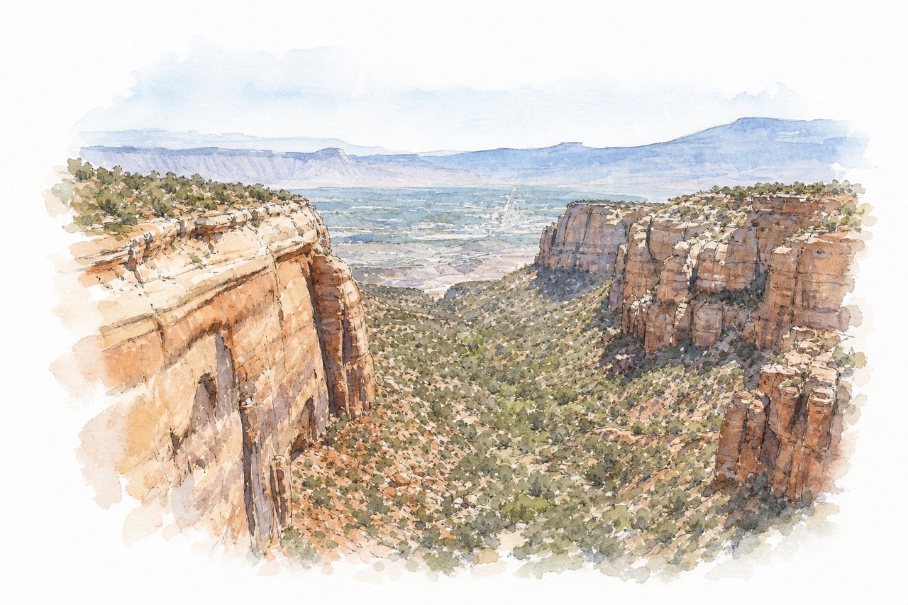
Red rock walls and deep drop-offs above the Colorado River, with a hanging canyon and natural arches in nearby canyons. Visitors mostly see it from rim viewpoints along the park drive, with a view toward Grand Junction.
Highlights
- Hanging canyon viewpoint
- Rattlesnake Canyon arches
- Grand Junction view
Good to know
- Parking space is limited at main viewpoint
- Arches reached only by a long hike
- Road has no guardrail at edges
-
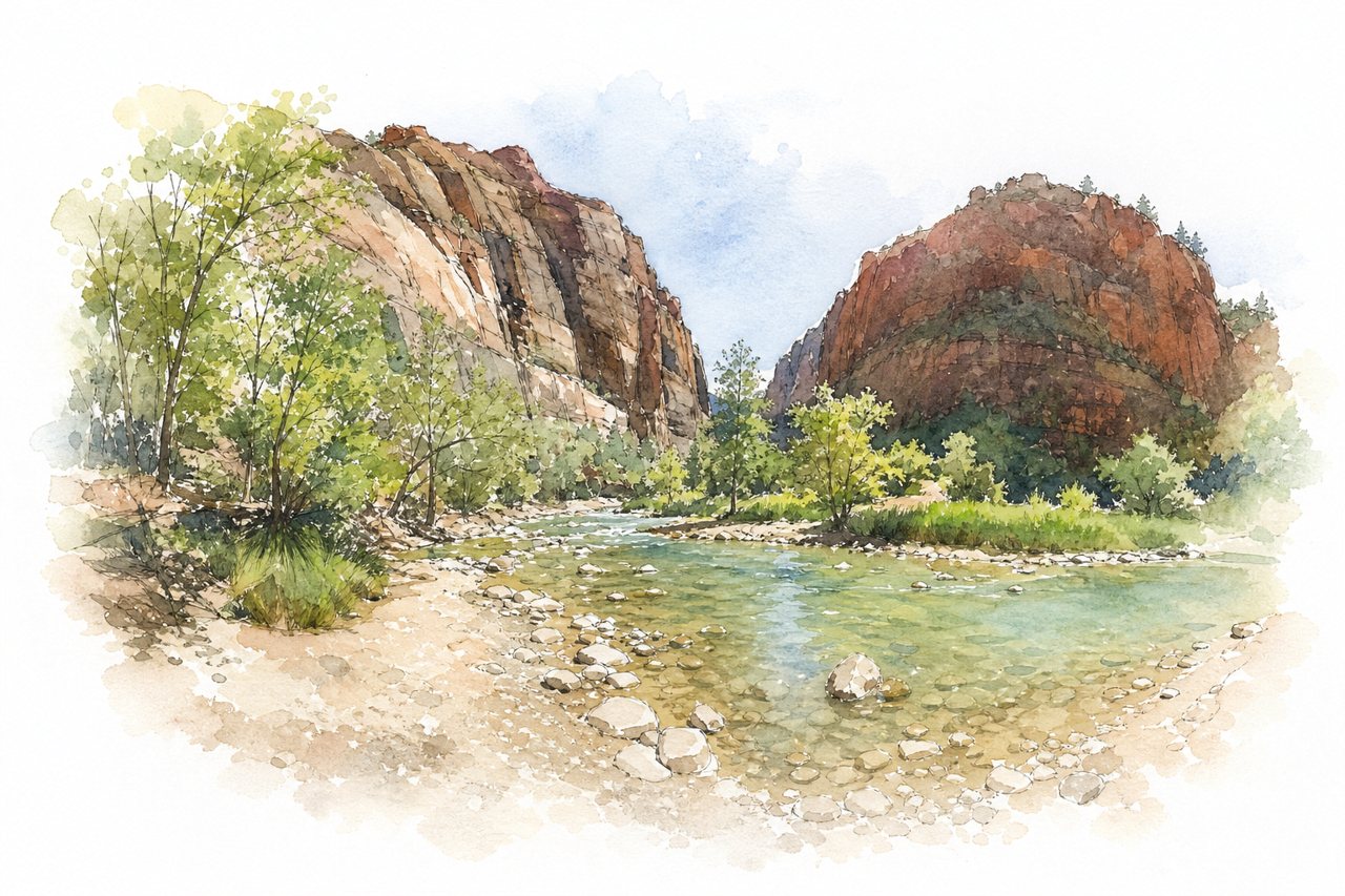
A canyon of tall cliffs and mountains, with a river running through narrow gorges and a tunnel. Visitors hike trails along the river, wade into the Narrows, or ride the shuttle to viewpoints.
Highlights
- The Narrows river gorge
- Emerald Pools trail
- Angel's Landing trail
Good to know
- Parking fills early, arrive early or take shuttle
- Scenic road closed to cars in summer
- Free shuttle runs through the park
-
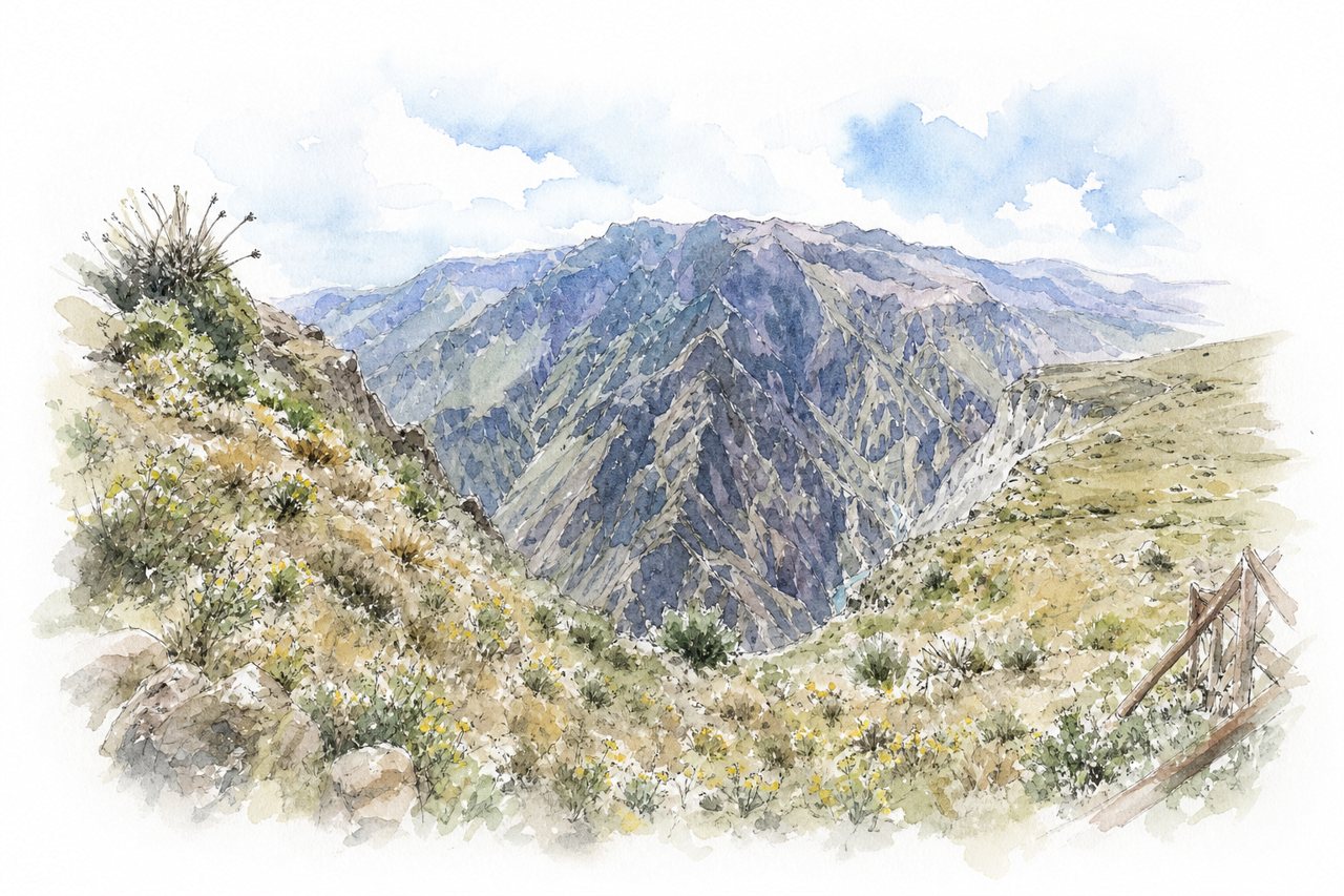
Deep Andean gorge with terraced walls, cut by the Colca River and over 100 kilometres long. Visitors see it from rim viewpoints on guided day tours, or walk down to the river on two-day treks.
Highlights
- Cruz del Condor viewpoint
- Terraces and villages
- Hot springs stop
Good to know
- Entry fee of 70 soles for foreigners
- Full-day tours spend most time on the bus
- Pickups around 3 AM, drives about 3 hours
-
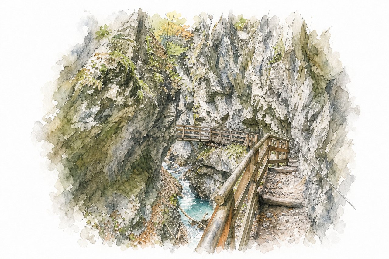
A narrow gorge with steep rock walls, a stream running through it and waterfalls along the route. Visitors follow a one-way path of steps, wooden walkways and bridges above the water, then return on a separate route.
Highlights
- Wooden walkways and bridges
- Small waterfalls and cascades
- Pool at the gorge exit
Good to know
- €6 per adult at the ticket booth
- Gorge is one-way uphill only
- Many steps, sturdy footwear needed
-
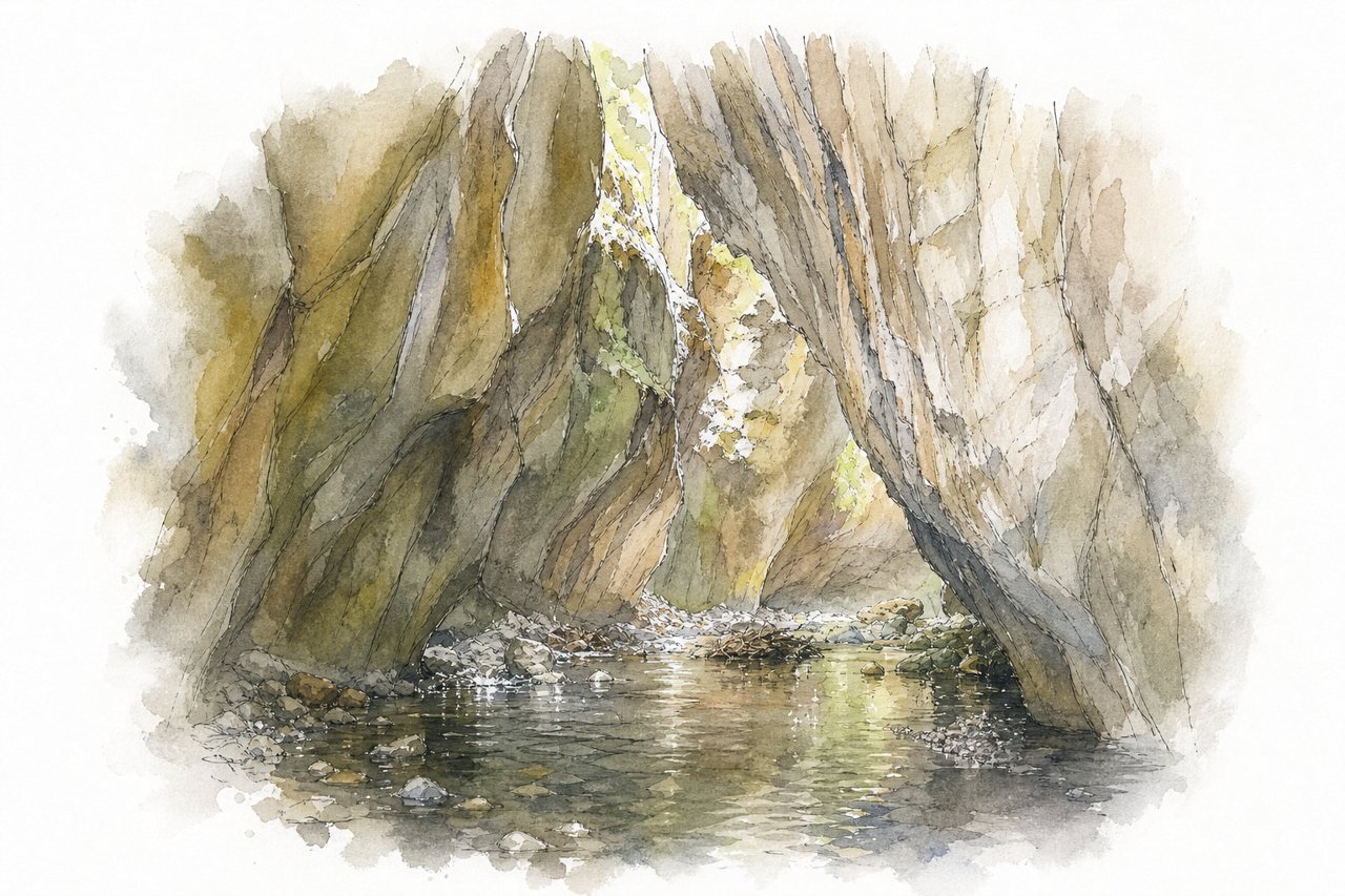
A limestone chasm with a river running through it, walled by rock formations and waterfalls. Visitors reach it by trailer, walk the bush track, then wade or swim the river between the chasm walls.
Highlights
- Waterfall upstream from the chasm
- Limestone rock formations
- Chasm river wading and swim out
Good to know
- Walk takes about three hours
- Trailer ride about 15 minutes each way
- Wear grip shoes, rocks are slippery
-
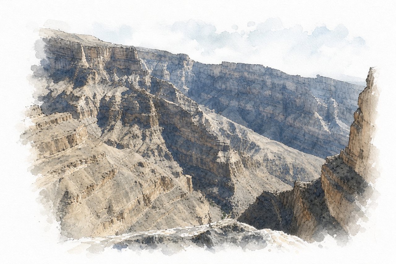
A deep, narrow canyon with sheer rock walls drops to a dry wadi floor. Visitors follow the Balcony Walk, a path along the cliff edge with no barrier, rather than boating or joining a guided tour.
Highlights
- Balcony Walk along cliff edge
- Abandoned village at the end
- Small pool above village
Good to know
- Parking free at the trailhead
- Sturdy footwear needed, no sandals
- Return leg uphill, about 3 to 4 hours
-
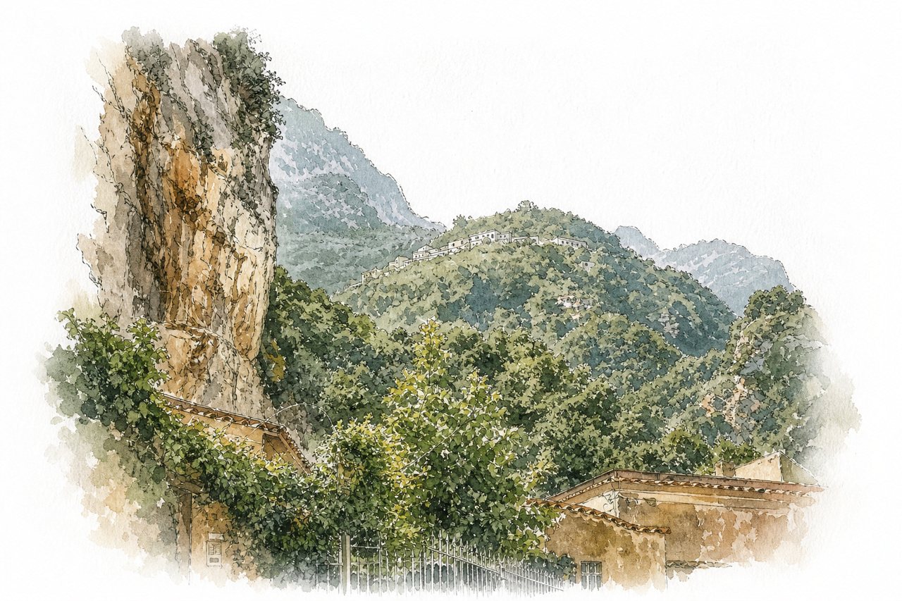
The Canneto stream cuts a gorge with vertical rock walls under moss and ferns. Visitors walk stepped trails from Pontone or Amalfi past paper mill and ironworks ruins, then pay €5 at the reserve gate.
Highlights
- Waterfalls inside the reserve
- Paper mill and ironworks ruins
- Plunge pools along the stream
Good to know
- Reserve entry €5 per person at the gate
- Reserve gate closes around 3 PM
- Hiking shoes advised, many steps
-
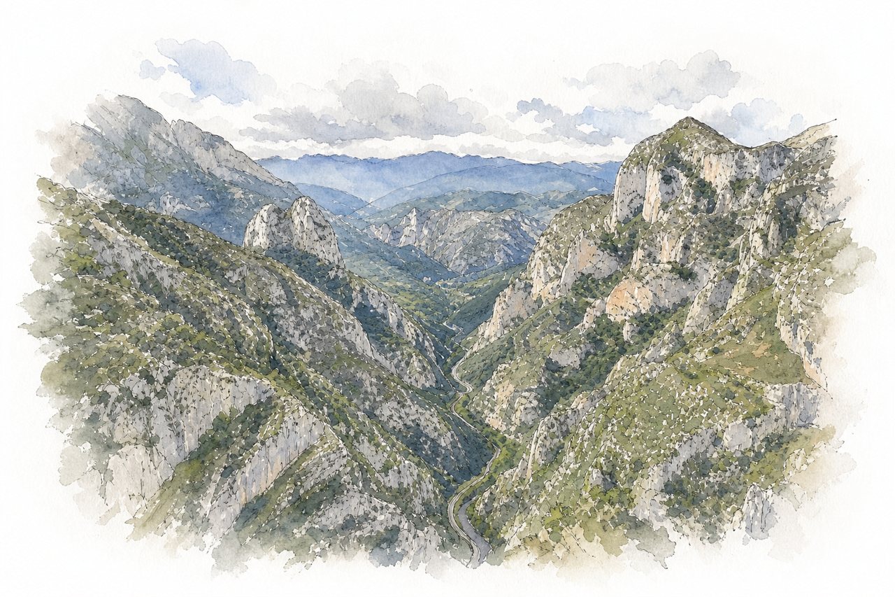
Limestone walls rise on both sides of the Deva River for over 20 kilometers, with the road narrow and winding through the gorge. Visitors mostly drive, ride motorbikes or cycle through it, stopping at a viewpoint or the spa, while some hike or climb via ferratas.
Highlights
- Deva River below the walls
- Viewpoint above the road
- Escalera al Cielo via ferrata
Good to know
- Roadworks with alternating lanes and waits
- Quieter outside summer, busy in August
- Via ferratas need a local guide
-
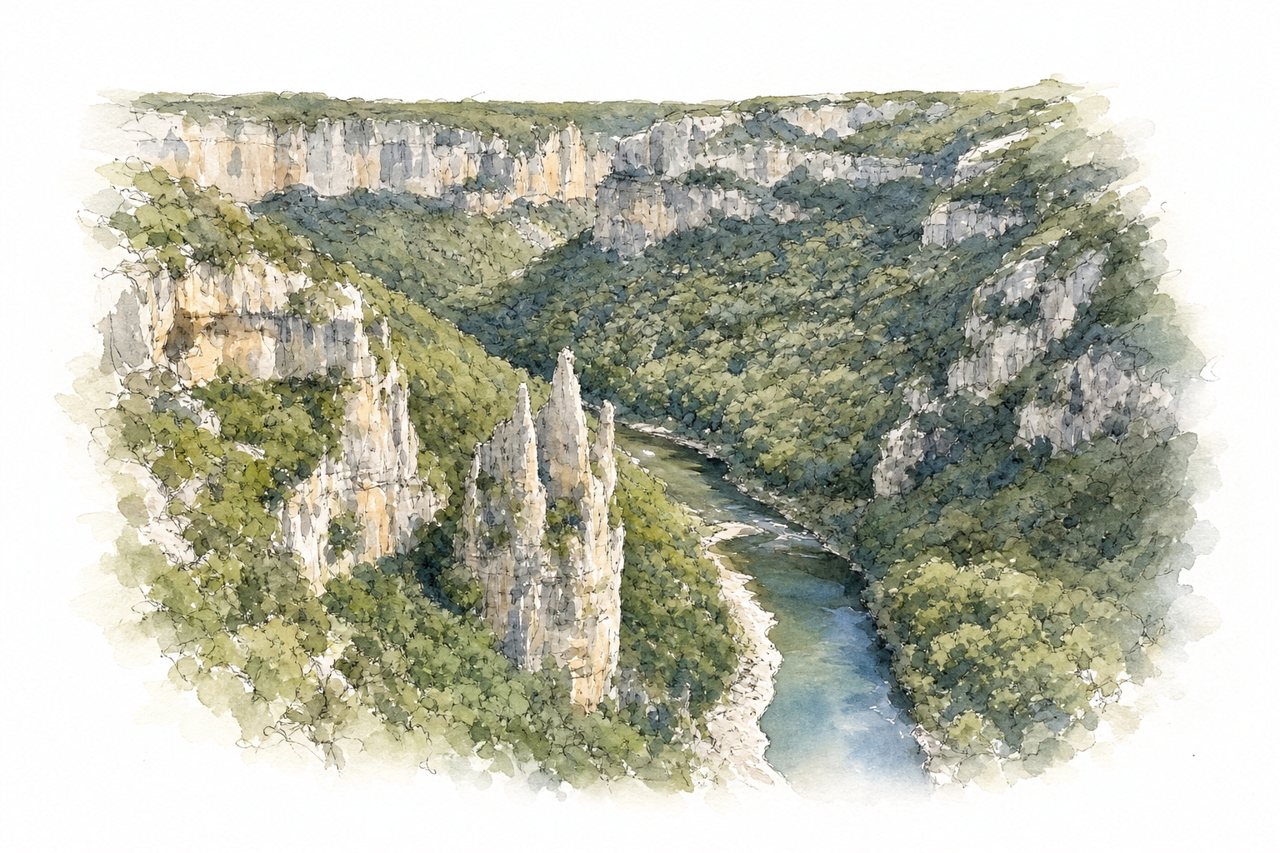
Steep cliffs rise above the Ardèche river in deep gorges, with forests, valleys and small beaches below. Visitors see it from roadside viewpoints, by canoe or kayak on the water, and on hiking trails.
Highlights
- Viewpoints on the road
- Pont d'Arc
- Boucle de Gorges hike
Good to know
- Crowded in peak season and on weekends
- Parking hard to find at busy times
- Hike loop takes about three hours
-
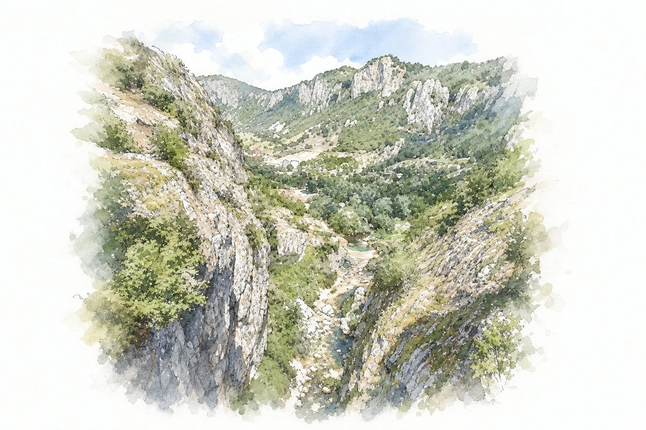
Narrow gorge cut by the Komarnica River, with rock walls up to 400 meters high and passages under one meter wide. Most visitors go with a guide to swim, jump and climb through pools. Others walk a short path from the parking lot to the bridge.
Highlights
- Natural pools and waterfalls
- Narrow passages under rock walls
- Bridge over the gorge
Good to know
- Canyoning tours take 2.5 to 3 hours
- Parking charge and entry fee at lot
- Jumps of up to 5 meters, cold water
-
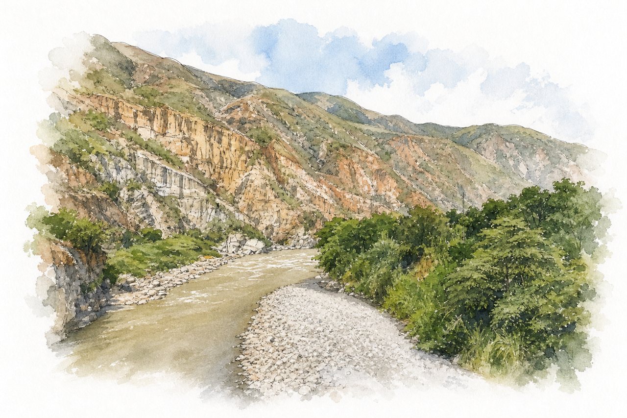
A deep river gorge in Santander, cut by the Chicamocha River through a narrow valley with steep rock walls. Visitors look down from rim viewpoints, cross it on a cable car, or drive and cycle the roads along its edge.
Highlights
- Cable car across the canyon
- Mesa de los Santos viewpoint
- Water park and slides
Good to know
- Entry about 68,000 COP per person
- Cable car ride takes 20 to 35 minutes
- Parking charged extra, about 18,000 COP per day
-
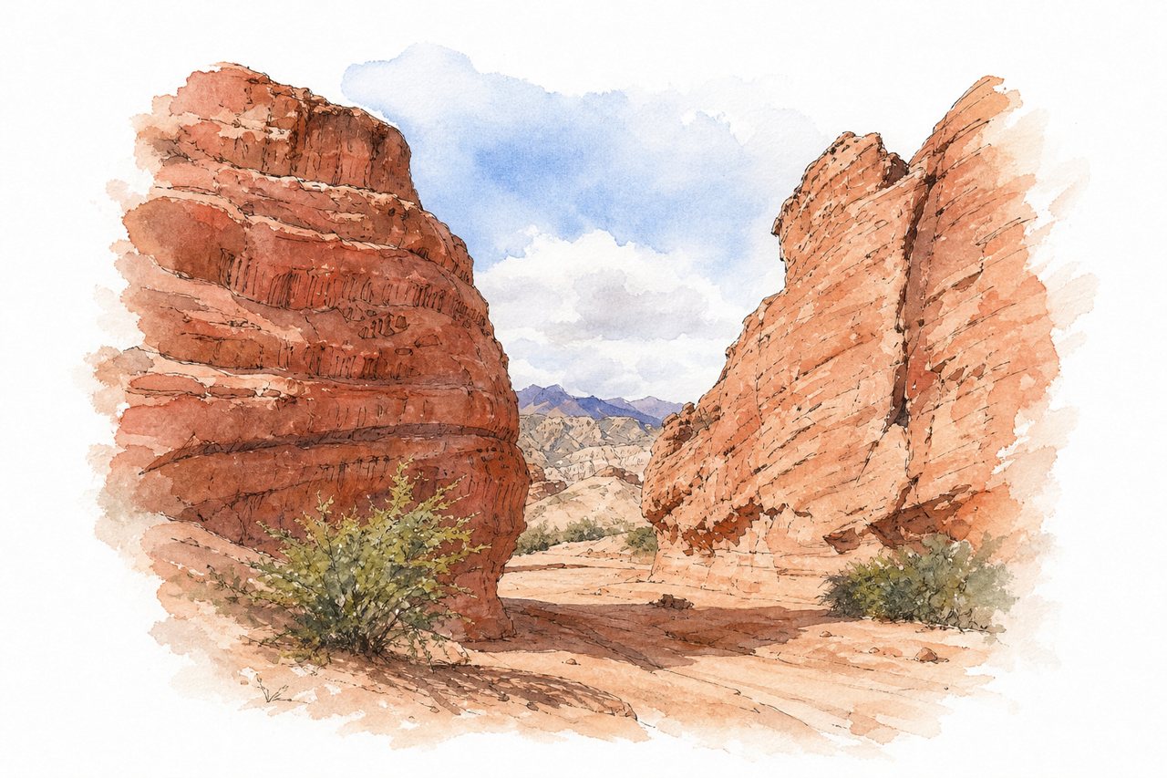
Wind- and water-sculpted rock in red, ochre and white lines a winding gorge on Provincial Route 68. Visitors stop at roadside viewpoints, walk short trails among the formations, or cycle the mostly gentle route.
Highlights
- Devil's Throat
- The Amphitheater
- Los Castillos
Good to know
- Free route with craft stalls along it
- Weekends crowded, late afternoon quieter
- Bring water, a hat, comfortable shoes
-
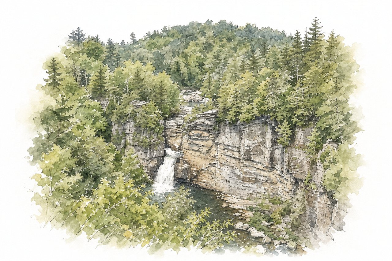
A deep wilderness canyon of quartzite cliffs and boulders, with the Linville River running along its floor and rocky crags above. Visitors see it from overlooks, on trails down to the river and falls, or backpacking through the wilderness.
Highlights
- Wiseman's View overlook
- Linville Falls
- Linville River boulders
Good to know
- Old NC 105 is unpaved, narrow and slow
- Free primitive camping, no reservations required
- Walk back from Upper Falls is steep
-
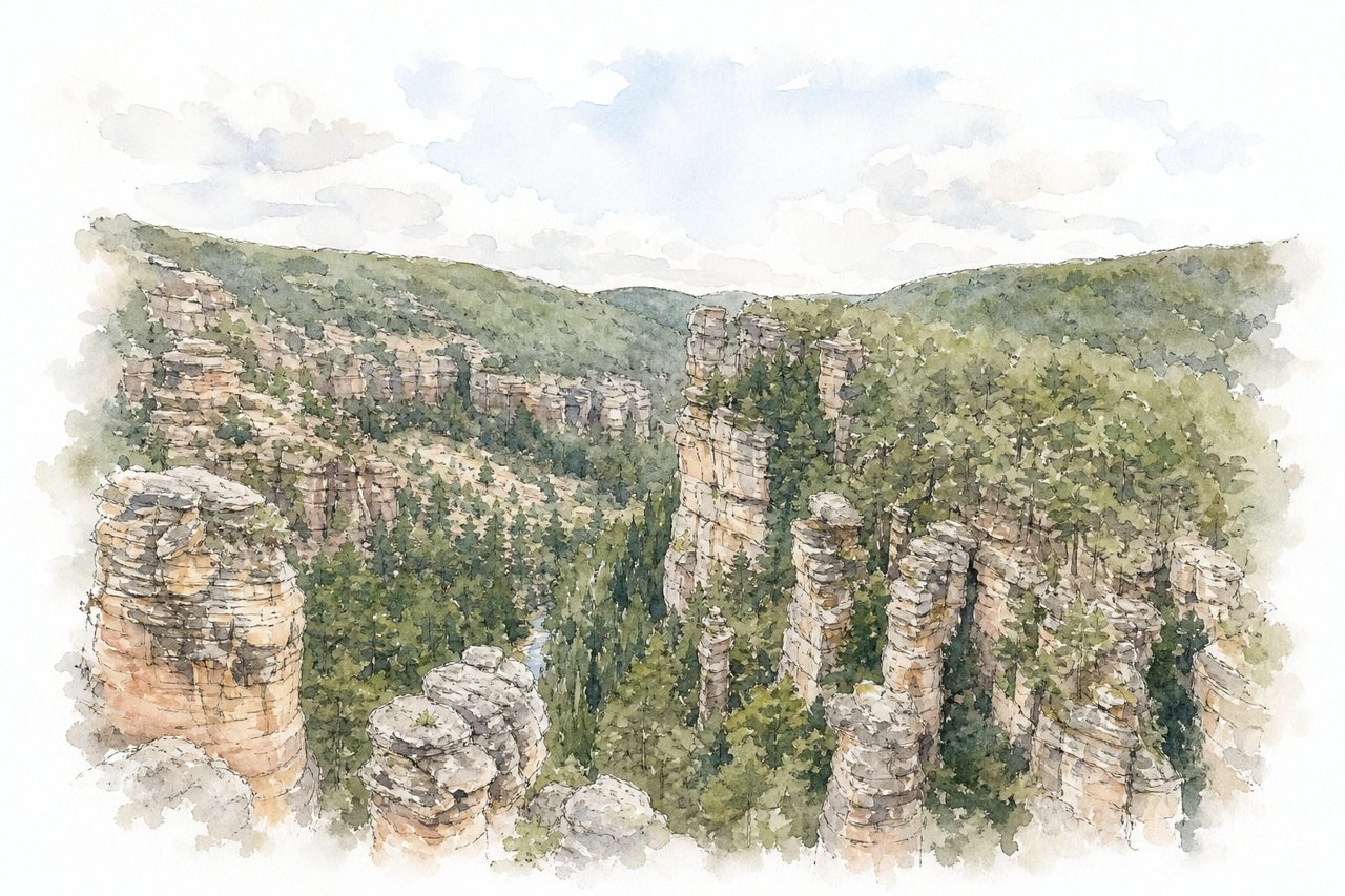
A deep canyon of sandstone and conglomerate, with high cliffs and the Gallo River flowing below. Visitors climb stairs from the hermitage to rim viewpoints, or walk or cycle the road along the river to San Pedro Bridge.
Highlights
- Upper viewpoints
- Virgin of the Sickle hermitage
- San Pedro Bridge
Good to know
- Stairs from the hermitage to upper viewpoints
- Parking at the bottom, climb under an hour
- Steel cables along edges, caution with young children
-
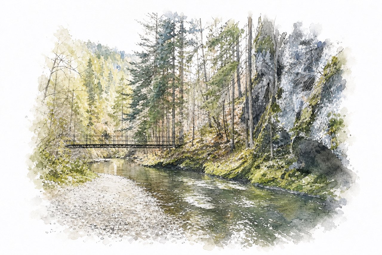
Narrow rock walls rise steeply above the Hornád River for several kilometres. Visitors mostly walk a trail along the water on metal footbridges, steps and chains, with viewpoints above the gorge.
Highlights
- Tomášovský výhľad viewpoint
- Metal footbridges above the river
- Wooden ladders over streams
Good to know
- Entry about €3 per adult, tickets at booth
- Full route takes four to seven hours
- Grippy boots needed, metal steps slippery when wet
-
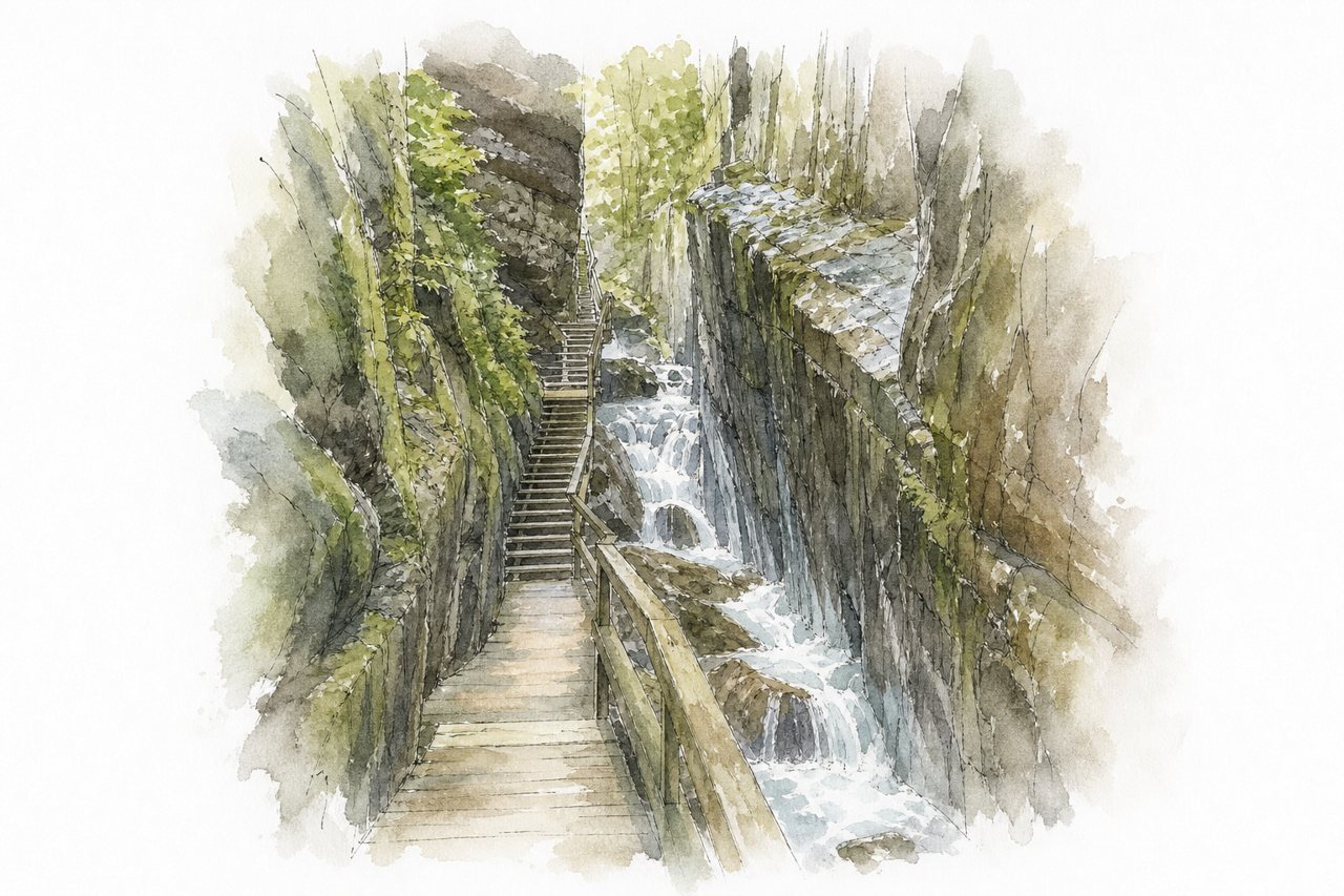
Sheer granite walls close in on a narrow gorge where water runs past waterfalls and boulders. Visitors follow boardwalks and stairs through the gorge on a loop trail, past covered bridges.
Highlights
- Avalanche Falls
- Boardwalks beside granite walls
- Wolf's Den crevice
Good to know
- Online tickets $18, gate $21 per adult
- Timed entry tickets, lines can be long
- About 2-mile loop with steps and loose dirt
-
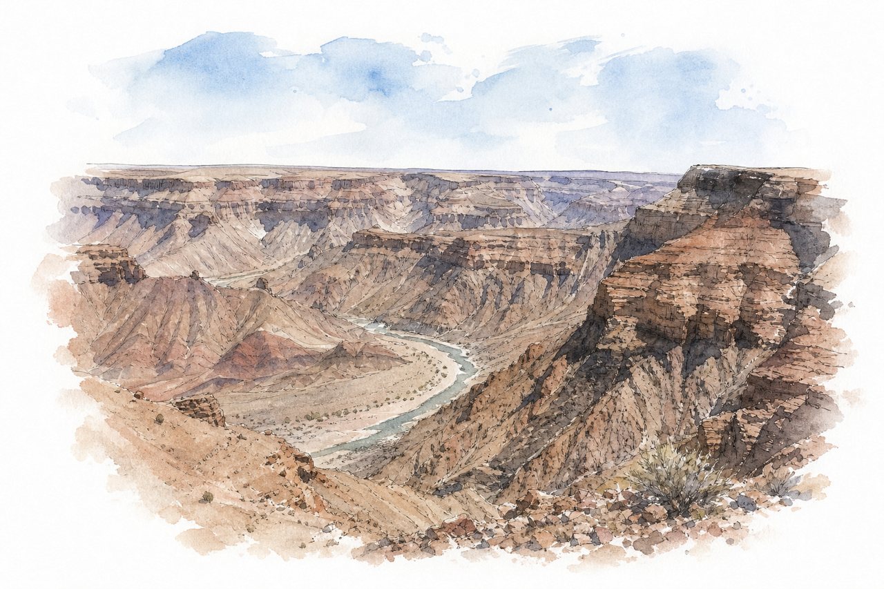
A deep desert canyon of layered rock, with the Fish River running through it. The lower section is narrower and over 500 metres deep. Visitors mostly look down from rim viewpoints reached by gravel roads, and some hike with a guide.
Highlights
- Hiker's viewpoint
- Sulfur Springs viewpoint
- Eagle's Rock viewpoint
Good to know
- Entry fee paid in cash at the gate
- Canyon hikes need a booked guide
- 4x4 needed for the furthest viewpoint
-
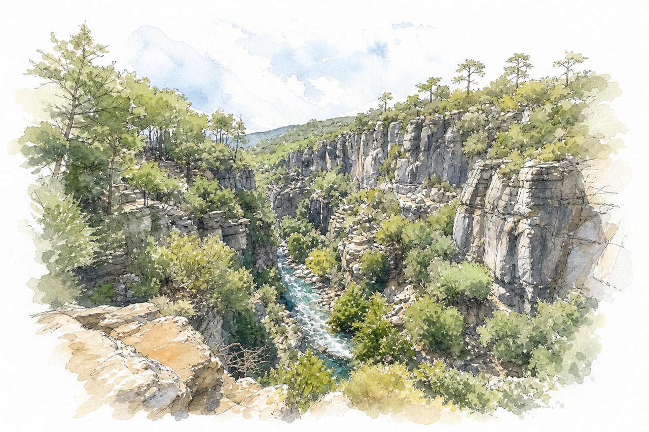
A gorge cut by the Köprüçay River between cliffs reaching about 400 metres, with a valley only 30 to 50 metres wide. Visitors mostly look down from rim terraces linked by walkways, and many arrive by car, ATV or organised tour.
Highlights
- Rim terraces with railings
- Walkways between viewing platforms
- Köprüçay River far below
Good to know
- Entry fee is 45 to 250 TL
- Last 1.5 to 2 km unpaved road
- Tours give about 20 minutes on site
-
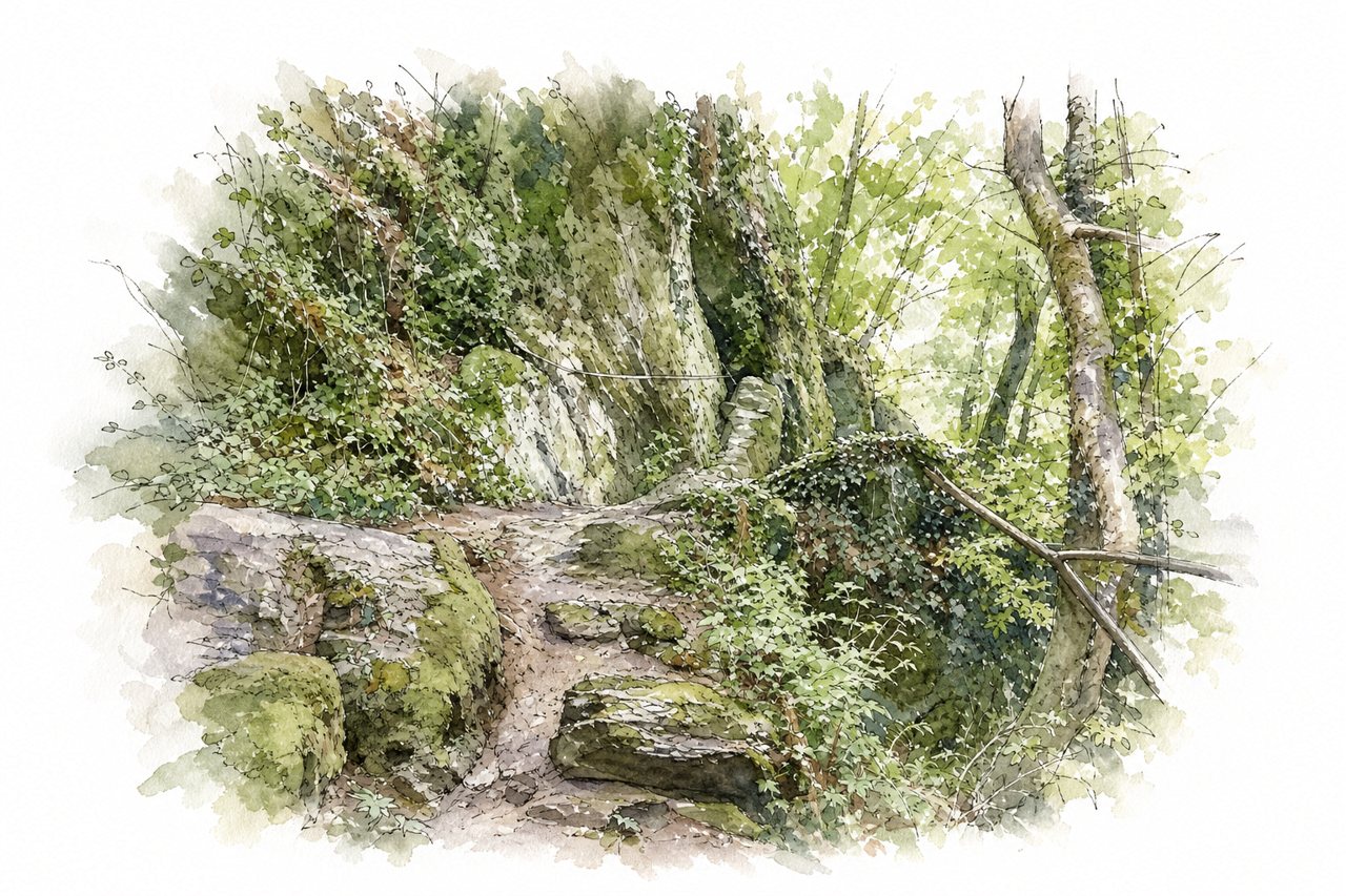
The gorge is a narrow cut through rock formations, with the Ehrbach stream running along its floor and steep stairs and paths on the slopes. Visitors walk the trail through it over wooden bridges and rock steps, then climb to rim viewpoints such as Teufelskanzel.
Highlights
- Teufelskanzel viewpoint
- Wooden bridges in the gorge
- Ehrbach stream and small waterfalls
Good to know
- Sturdy footwear needed, rocks slippery when wet
- Circular trail about 10 km, strenuous in parts
- Daubisberger Mill not accessible by car or campervan
-
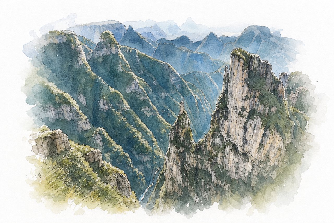
The canyon has pointed rock walls, a deep valley and a river at its base, and it narrows toward the funnel-shaped rock. Visitors view it from natural rim viewpoints, which have no railings, and reach it by car on a rough dirt road, on foot, or by quad bike.
Highlights
- Natural rim viewpoints
- Funnel-shaped rock formation
- Pointed rock walls
Good to know
- Entry fee about R$75 per person, paid to owner
- Road has sharp rocks, low cars struggle
- Fog can hide the canyon, check weather
-
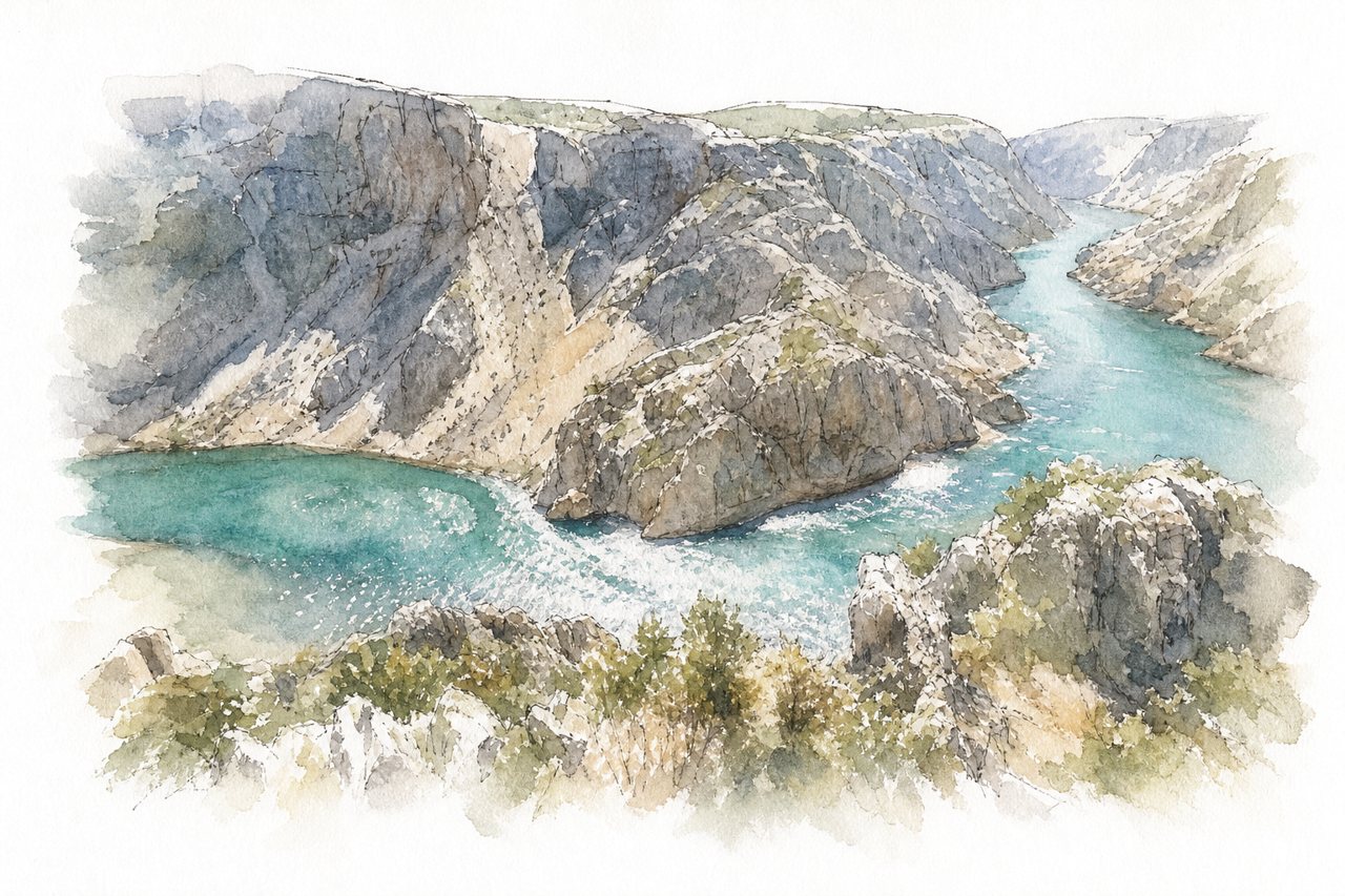
The Zrmanja runs between rock walls rising up to 300 metres, with turquoise water in the gorge. Visitors watch from a short walk to the rim, or from the water by SUP, kayak or boat.
Highlights
- Visoki Buk waterfall
- Obli Kuk rock pillar
- Canyon walls up to 300 m
Good to know
- Free parking, 5 to 10 minute walk
- Sharp stones, no railings, visit at own risk
- Dry in May, waterfalls smaller in drought
-
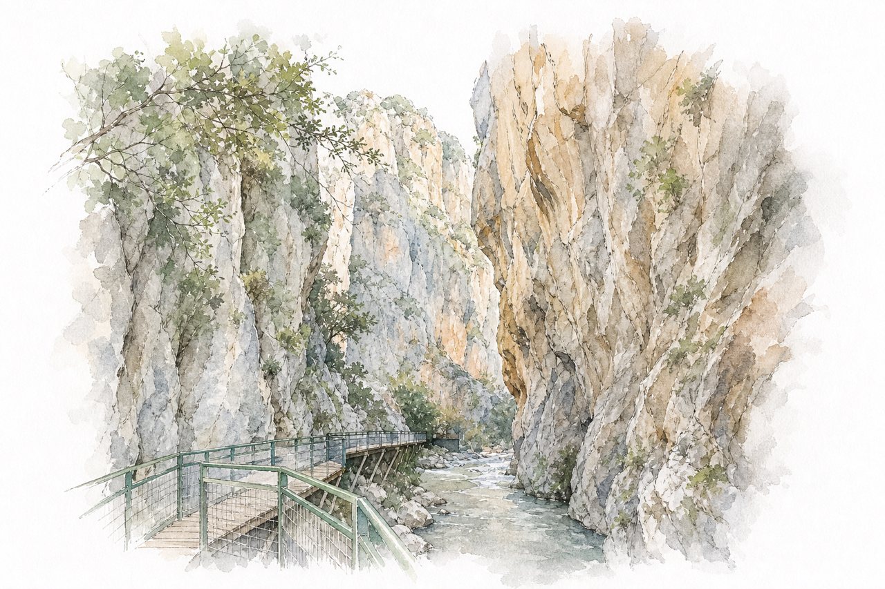
Towering cliffs rise over a narrow, ice-cold mountain river that runs through the gorge. Visitors wade up the river on foot, with a short boardwalk at the start, and some take rafts.
Highlights
- Short boardwalk at the entrance
- Ice-cold river wading section
- Waterfall at the far end
Good to know
- Entry fee 60 to 250 TL per person
- Water shoes needed, helmets provided at entrance
- Go early, parking fills up after noon
-
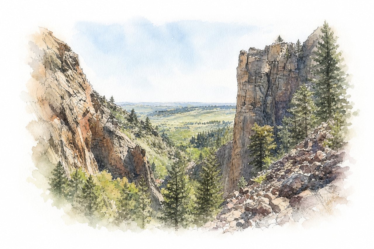
Sandstone cliffs rise above South Boulder Creek in a narrow canyon near Boulder. Visitors see it from rim overlooks, from trails along the creek, and from climbers working the rock faces.
Highlights
- Continental Divide overlook
- Fowler Trail
- South Boulder Creek
Good to know
- Timed entry reservation needed on weekends and summer
- Parking fills quickly on weekends
- Car entry $10, walk-in $4
-
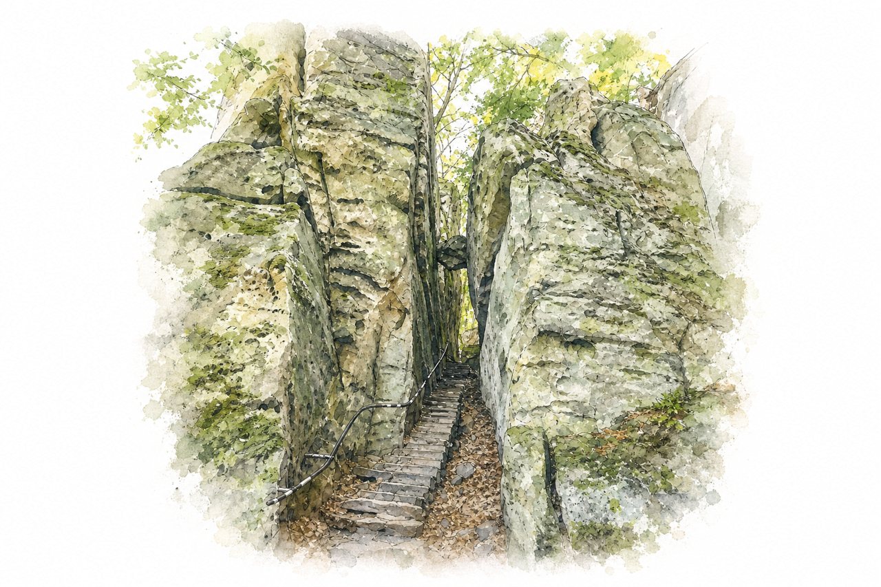
The gorge cuts through forest, with rock formations, narrow passages squeezed between boulders and a stream running along the bottom. Visitors walk marked loop trails through it, crossing a suspension bridge and passing waterfalls and rest stops.
Highlights
- Suspension bridge
- Narrow passages between rocks
- Irrel waterfalls
Good to know
- Parking about €3 to €4 per day
- Trail markings patchy, get a map
- Sturdy shoes, slippery after rain
-
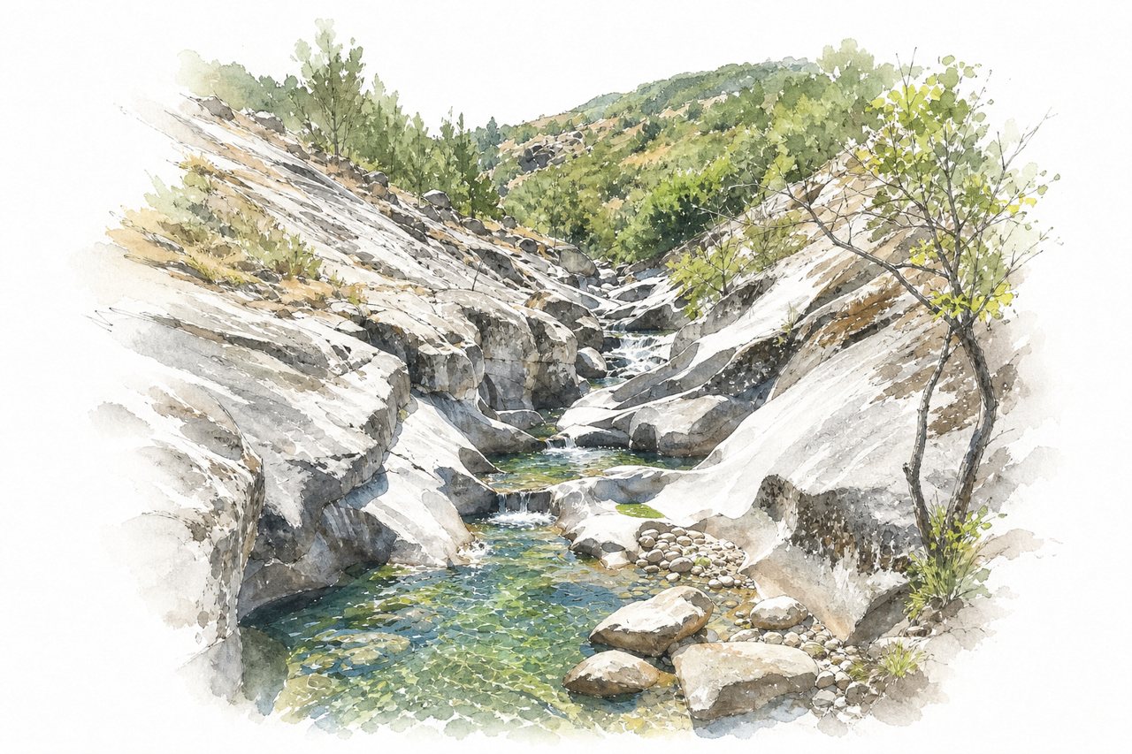
A granite gorge with a river running between steep rock walls, some sections narrow. Visitors walk a trail up the gorge to natural pools carved in the rock, and some take a guided 4x4 tour.
Highlights
- Los Pilones natural pools
- Carlos V Bridge
- Waterfalls and cascades
Good to know
- Parking paid, about €3 to €5
- Steep uphill with steps, sturdy shoes needed
- Guided 4x4 tours available
-
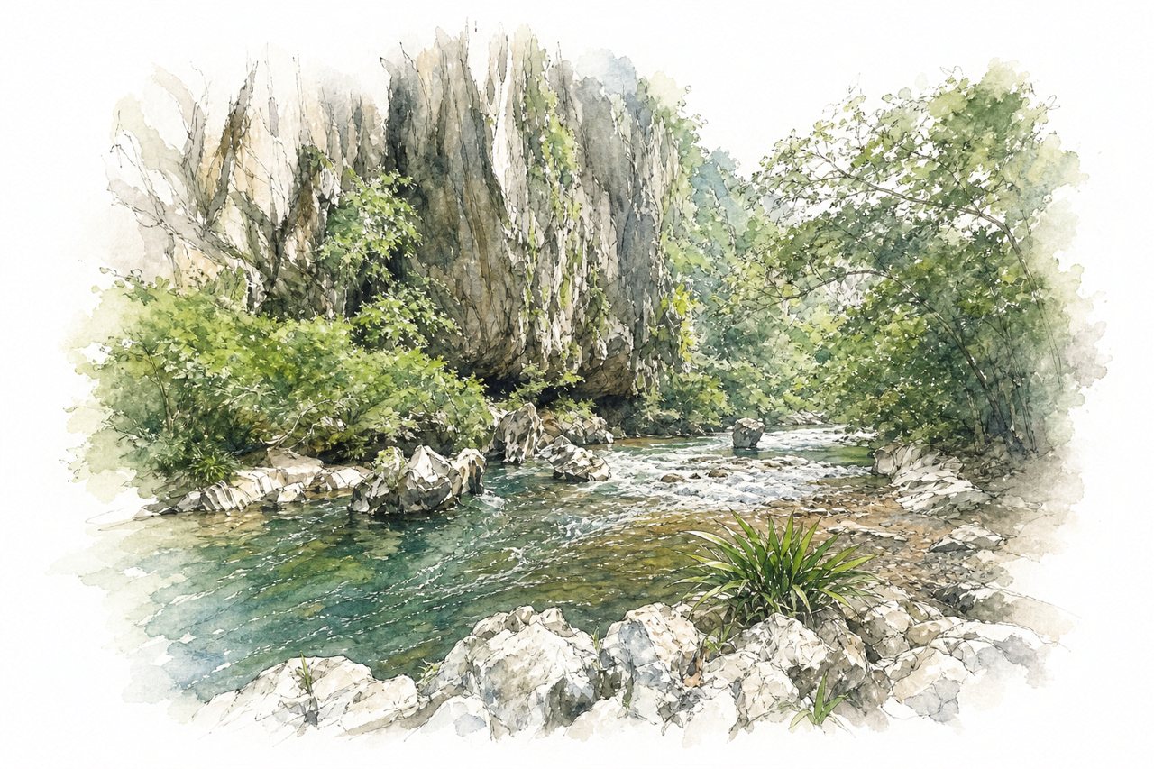
Karst rock walls, a crystal-clear river and rainforest make up the canyon in Antioquia, with marble rock around Marble Beach. Visitors walk a trail along the river to beaches and caves, and some go rafting, tubing or caving with guides.
Highlights
- Marble Beach
- Guácharos Cave
- Walking trail along river
Good to know
- Entrance fee 25,000 pesos per person
- Free parking at the reserve
- Marble Beach can be slippery
-
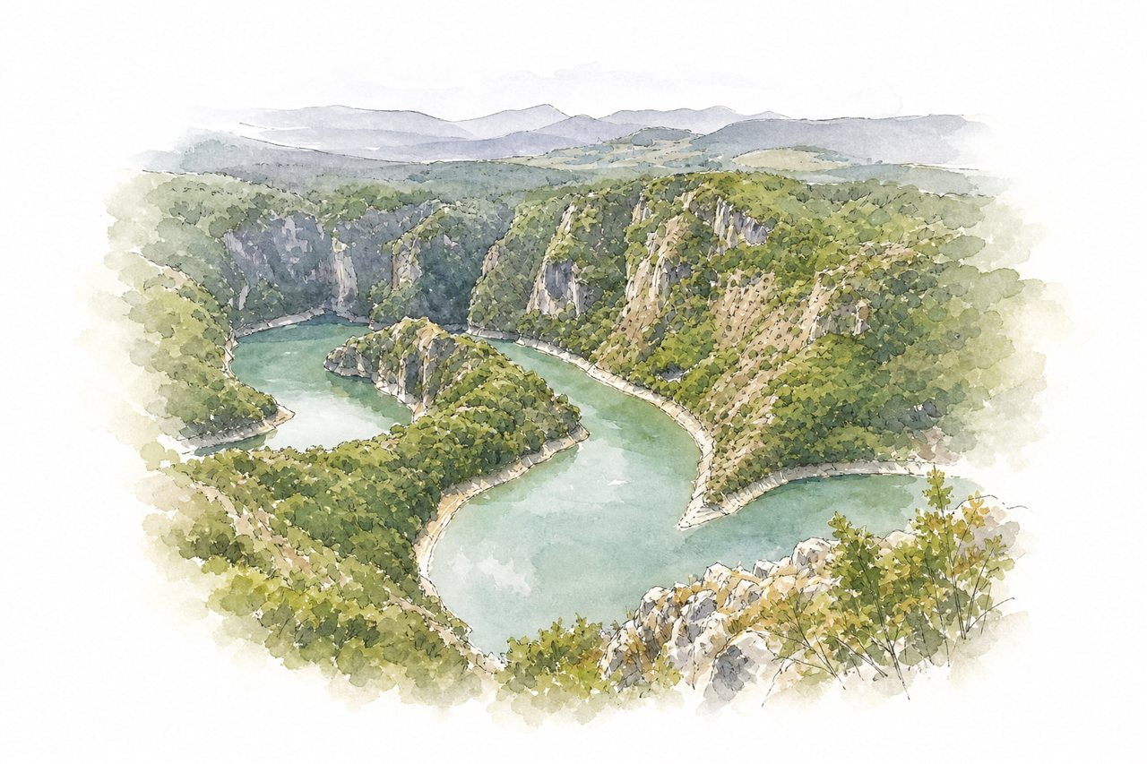
The canyon is a deep gorge cut into rock by a winding river, with meanders visible from above. Visitors view it from rim viewpoints and a viewing platform, or from a boat on the river that includes a cave visit.
Highlights
- Viewing platform above meanders
- Ice Cave
- Boat ride from dam
Good to know
- Boat tours booked in advance, paid at departure
- Viewing platform 5-10 minute walk from paved parking
- Boat trip with cave visit about 4.5 hours
-
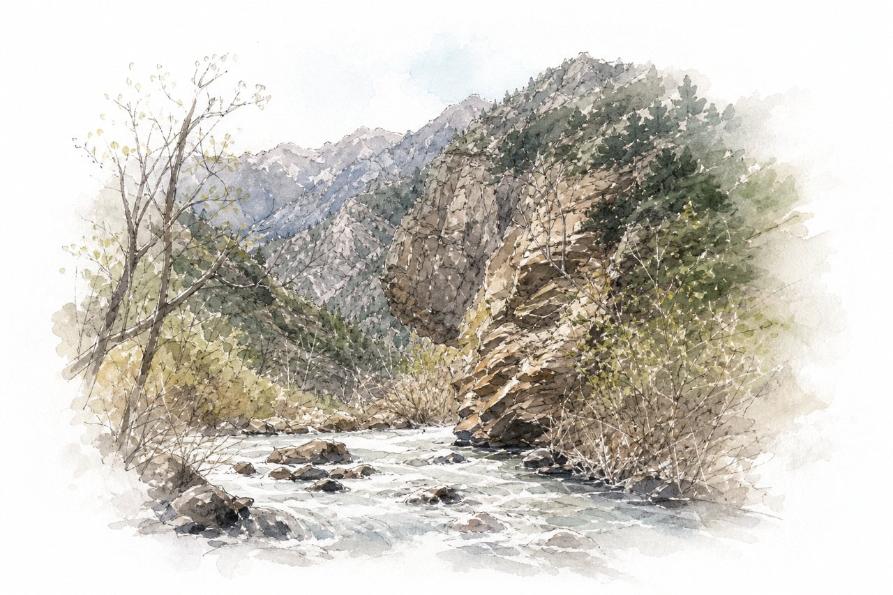
Layered rock formations rise above a river that runs close to the road. Visitors see it mainly from the drive, at roadside pullouts and along many hiking trails.
Highlights
- Layered rock formations
- Donut Falls
- Lake Blanche
Good to know
- Dogs and swimming not allowed
- Lake Blanche hike takes all day
- Check for events, traffic can slow driving times
-
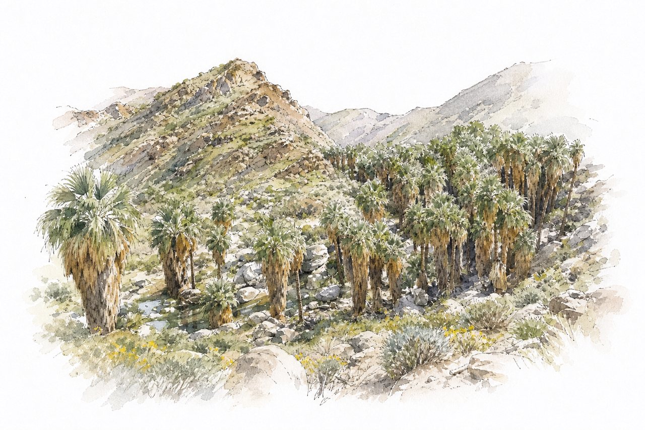
Palm groves grow in the desert along a creek that runs between rock walls. Visitors hike trails through the canyons, on loops and out-and-back routes along the stream.
Highlights
- Palm Canyon palm forest
- Andreas Canyon loop
- Seven Sisters Falls
Good to know
- Entry $12 per adult, $6 per child
- Andreas loop takes 35 to 40 minutes
- Sandy, rocky footing with stream crossings on stones
-
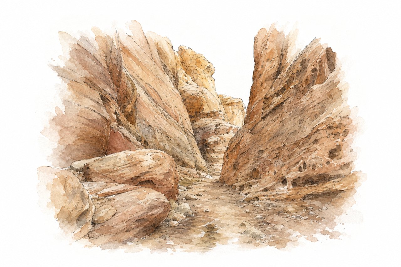
Narrow sandstone slot canyon in the San Rafael Swell, with towering walls, tight passages, boulder climbs and water pooling in places. Visitors hike the slot, often looping through Bell Canyon's open desert, and many turn back early.
Highlights
- Narrow slot passages
- Bell Canyon loop return
- Stagnant water sections
Good to know
- No entry fee and free parking
- Check weather, flash floods are dangerous
- Full 8-mile loop takes 4 to 6 hours
-
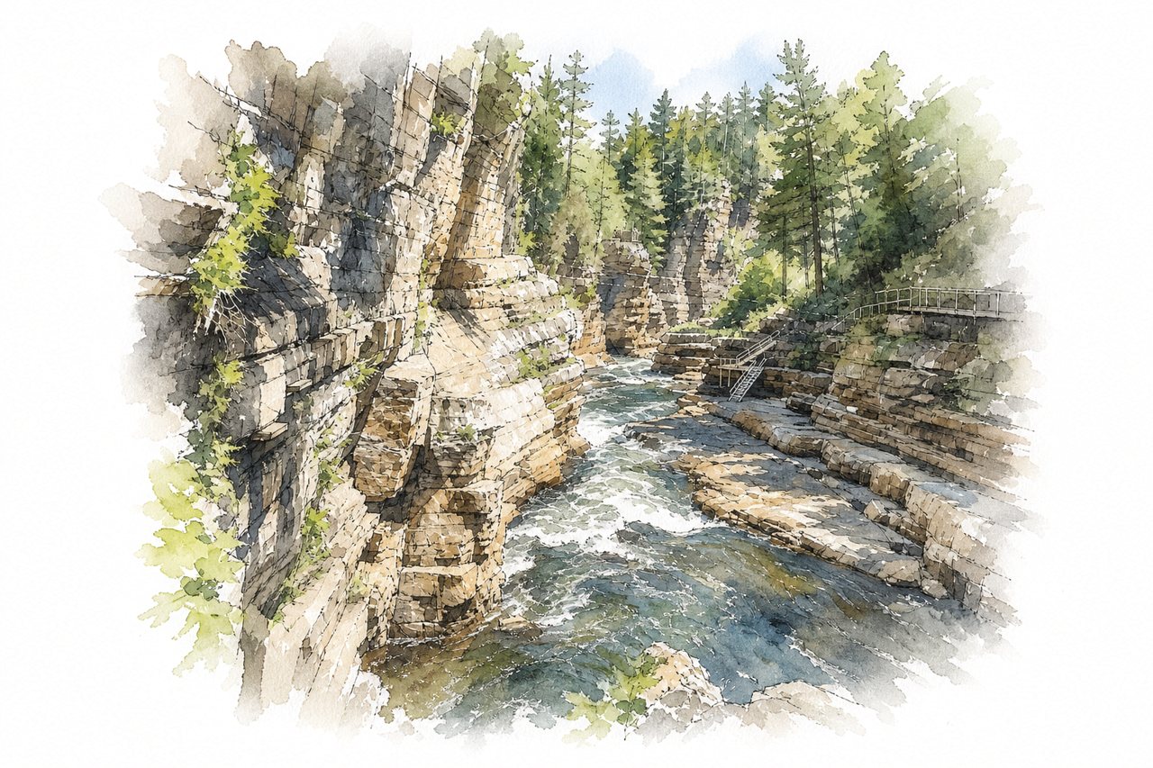
A narrow gorge of layered rock with a river running along its floor, with waterfalls and rock walls. Visitors see it from rim paths and a walkway down to the river, then by raft, tube or guided tour.
Highlights
- Waterfalls along the River Walk
- Rope bridges over the gorge
- Rafting and tubing on the river
Good to know
- Packages from about $49 to $79
- Many stairs down to the river
- Raft lines often wait an hour or more
-
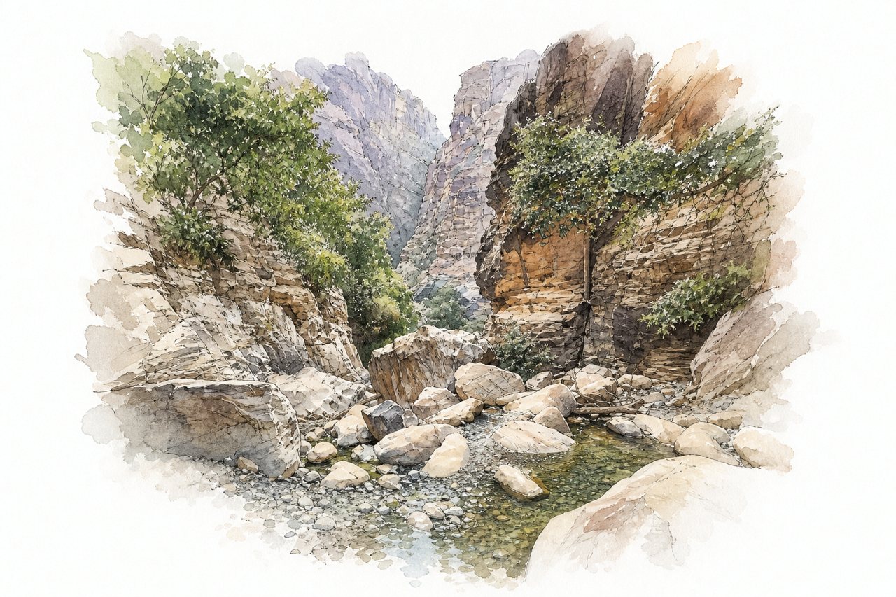
A narrow rocky gorge in Jazan with rugged mountains, rock formations, pools, small lakes and waterfalls along a river. Visitors walk from the gate or ride in a 4x4, then climb rocks and swim through the water.
Highlights
- Lakes and waterfalls
- Rope climb up big rock
- Rock formations on the walk
Good to know
- Four-wheel drive recommended for the road
- Leave by 3 PM and avoid rain forecasts
- Walk from gate, about half an hour
-
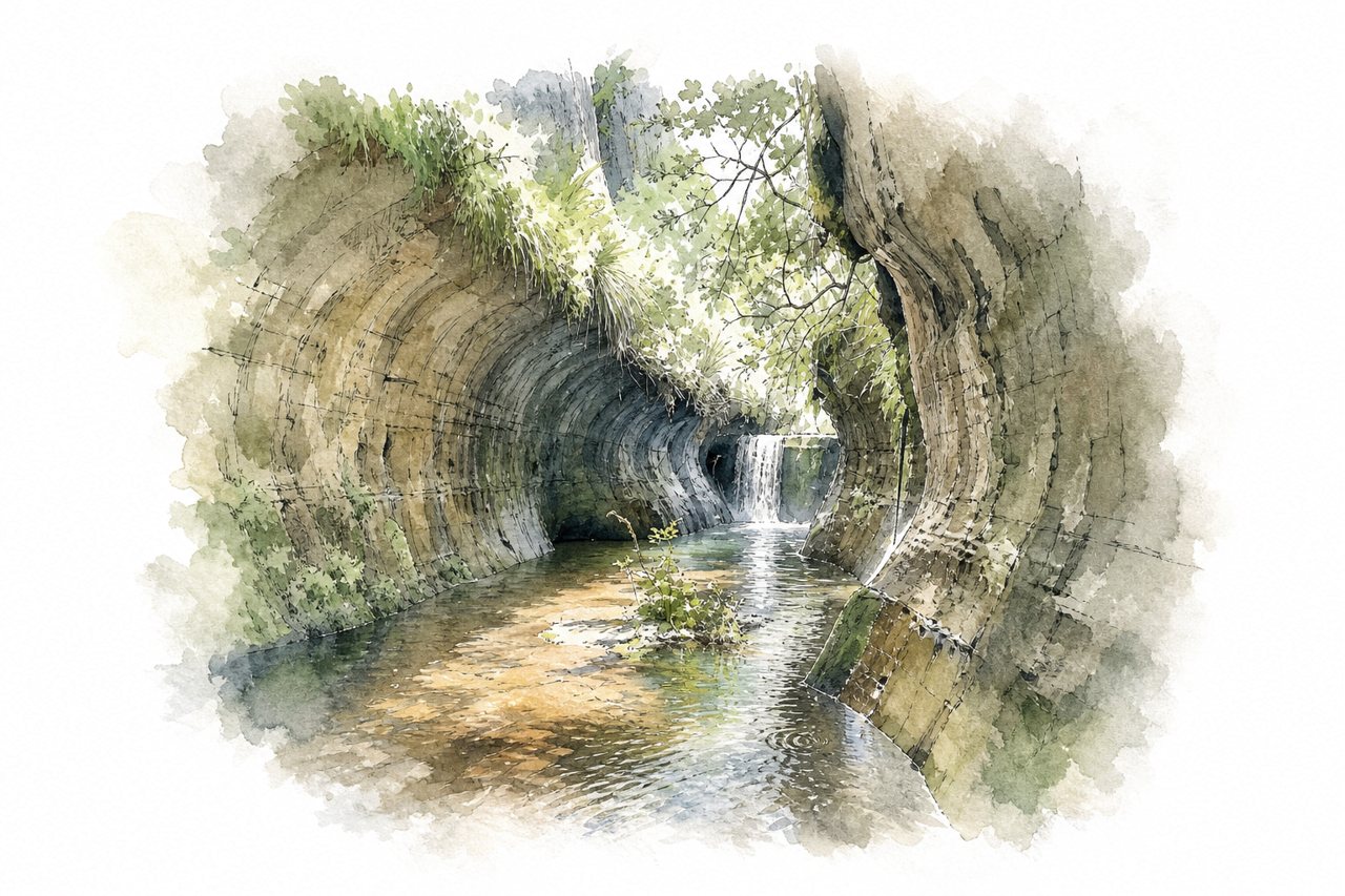
Sandstone gorge near Fouriesburg with cliffs, caves and a river that runs high after rain. Visitors hike the kloof floor, crossing streams to reach the water tunnels, and take in views from the cliff tops.
Highlights
- Water tunnels
- Holkrans cave
- Chain ladder
Good to know
- Entry about R25 to R40 per person
- Water tunnels involve wading through water
- Routes well marked with a map
-
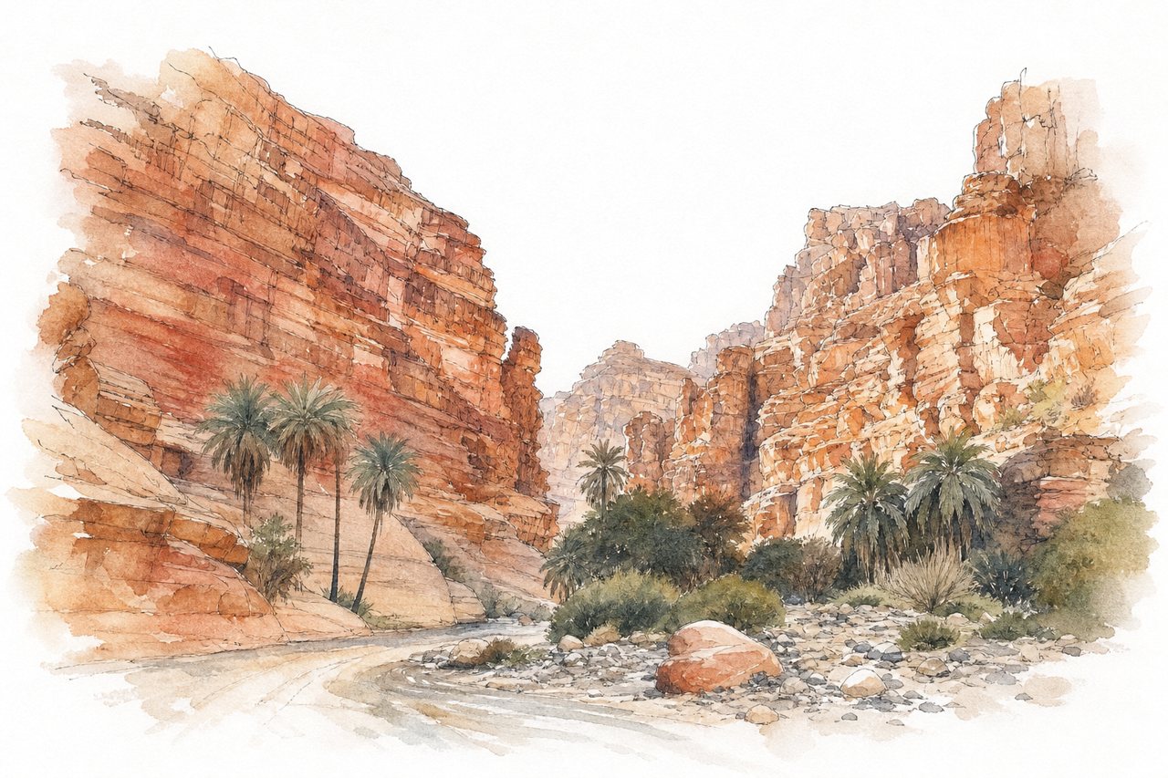
Red sandstone cliffs up to 400 meters high rise over a valley with a year-round stream and palms on its floor. Visitors drive in 4x4s, hire local jeeps at the entrance, or walk the valley floor.
Highlights
- Red sandstone cliffs and pillars
- Year-round stream along the floor
- Palm groves and reeds
Good to know
- Entry free, local jeep drivers charge 100-300 SAR
- 4x4 needed for the road, walking possible
- Cooler months recommended, roughly November to March
-
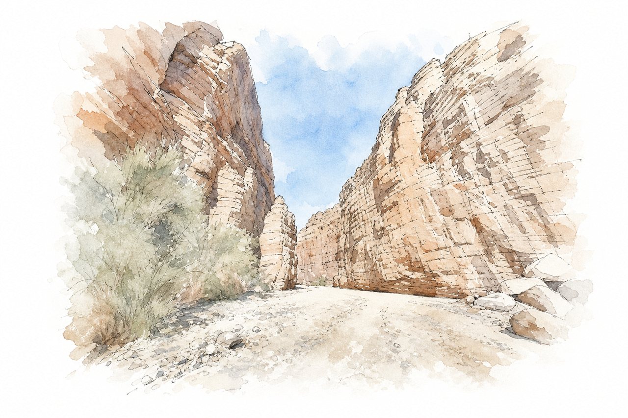
Narrow slot canyons cut through layered red, orange and cream rock, with a dry wash that once carried a river. Visitors climb ladders and ropes up the slots, then walk ridge trails with views of the Salton Sea, or loop back down the wash.
Highlights
- Ladder Canyon slot
- Rope Canyon vertical wall
- Salton Sea views from ridge
Good to know
- Unpaved road, high clearance or 4WD advised
- Carry plenty of water, no restrooms
- Loop about 5 miles, two to four hours
-
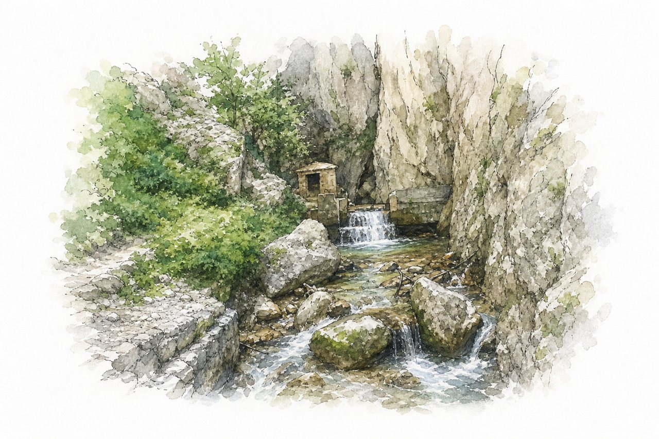
The gorge is a narrow cut through rock, with steep walls on both sides and the Tenna river running along its floor. Visitors follow a trail beside the river through the gorge, then climb through beech forest to the hermitage.
Highlights
- Steep walls above the river
- Pisciarelle water seeping from rock
- Hermitage of San Leonardo
Good to know
- Hiking boots recommended, trail slippery in places
- Dirt road to parking, often full on Sundays
- Access closed at times for landslides or works
-
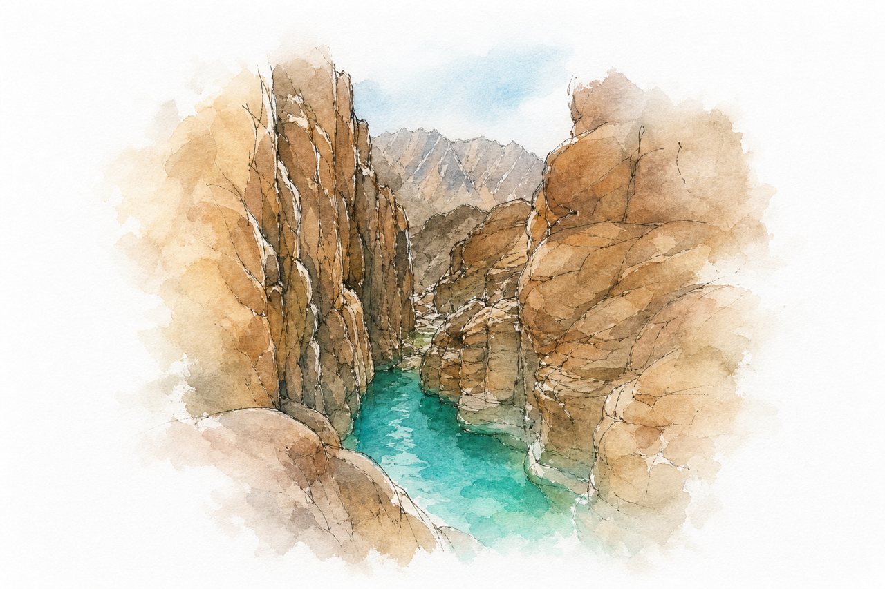
A rainwater pool sits between granite mountains rising 100 to 150 metres, reached through narrow rocky passages. Visitors take a 4x4 to the trailhead, then walk roughly 30 to 60 minutes, using ladders and ropes to reach the water.
Highlights
- Narrow passages with ladders
- Rainwater pool for swimming
- Granite walls above the water
Good to know
- Four-wheel drive to trailhead, then hike
- A Bedouin guide is recommended
- Bring water and hiking shoes, hard for children
-
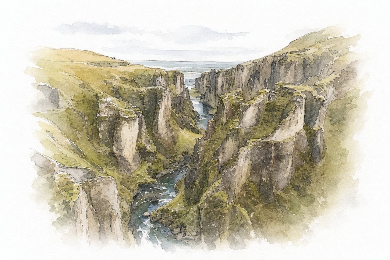
Narrow gorge about 100 meters deep and nearly two kilometers long, with moss-covered cliffs and the Fjaðrá River winding through palagonite rock at the bottom. Visitors look down from rim viewpoints along a marked trail, and at times the shallow river can be waded on the canyon floor.
Highlights
- Main lookout platform
- Edge trail to viewpoints
- Fjaðrá River below
Good to know
- Parking fee, about 1000 kr
- No entry ticket for the canyon
- About 30 minutes uphill to platform
-
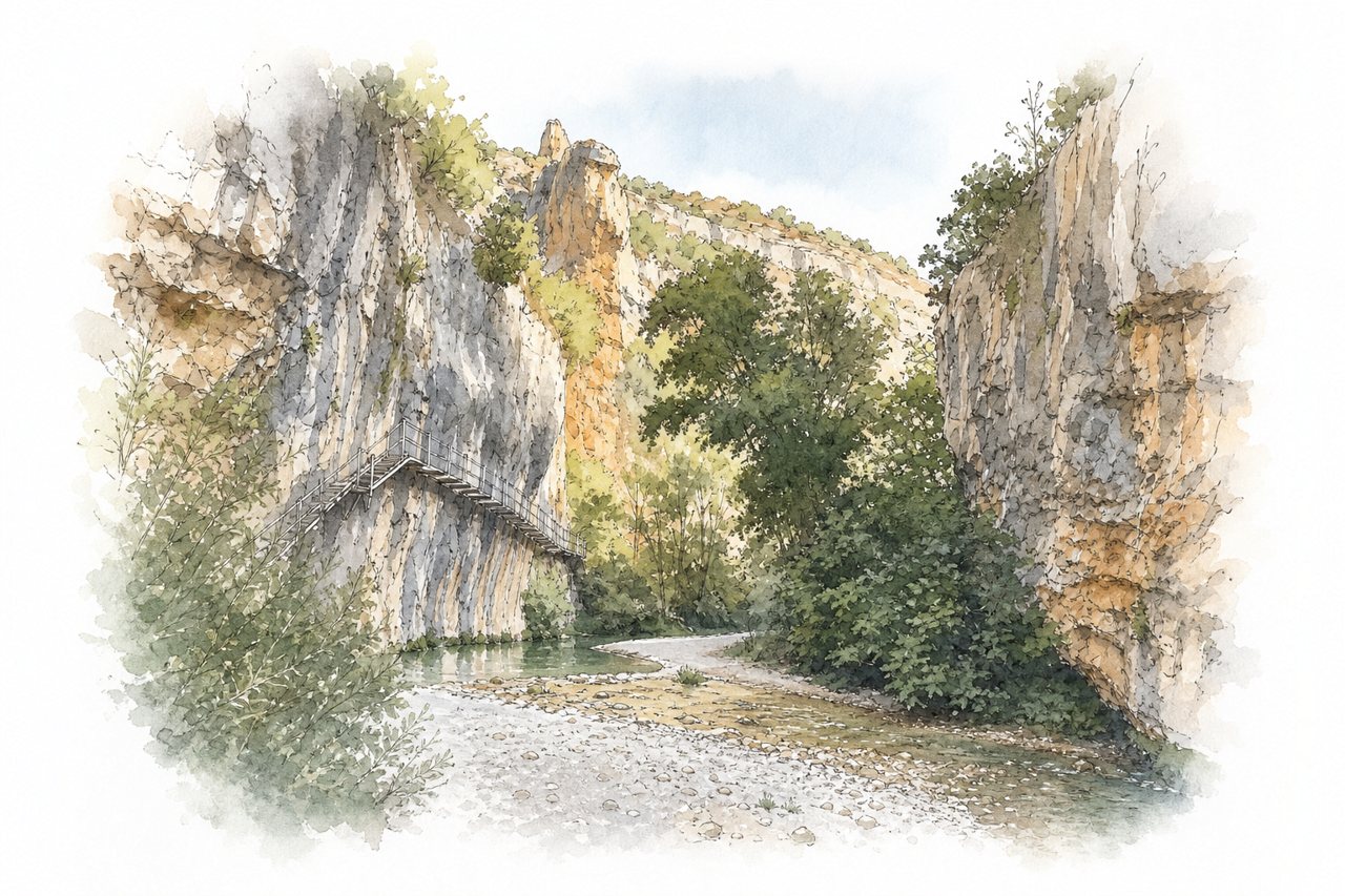
Deep, narrow gorge of ochre cliffs and meanders, cut by the Vero River over about 8 km. Visitors walk metal boardwalks and footbridges above the water, and some do the route as a canyoning descent.
Highlights
- Metal boardwalks above the river
- Small cave near the waterfall
- High viewpoint at the end
Good to know
- Entry ticket about €4, online or town hall
- Slippery rocky sections when wet
- Few signs to the walkways
-
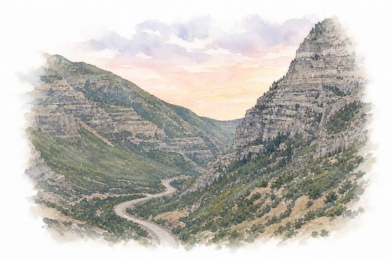
Provo Canyon is a mountain canyon with cliffs on both sides, a river running through it, and forested slopes. Visitors see it from the scenic highway, a paved bike and pedestrian path, and trails to waterfalls such as Bridal Veil Falls.
Highlights
- Bridal Veil Falls
- Massive cliffs on both sides
- Provo River
Good to know
- Parking lots fill up on busy days
- Bike path closes in winter for avalanche concerns
- Go in morning or late evening to avoid crowds
-
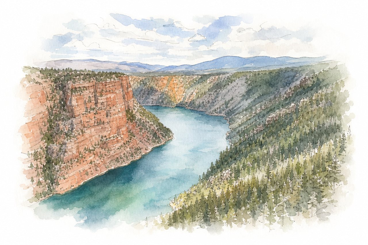
Red and orange cliffs drop to the Green River, which runs between dams in a canyon about 1,500 to 1,700 feet wide. Visitors view it from rim overlooks and a short rim trail, and some take a boat tour.
Highlights
- Overlook above the canyon
- Rim trail along the cliffs
- Green River far below
Good to know
- There is no entry fee
- Fewer rangers and crowds after 6:00 pm
- Some cliff edges are not fenced
-
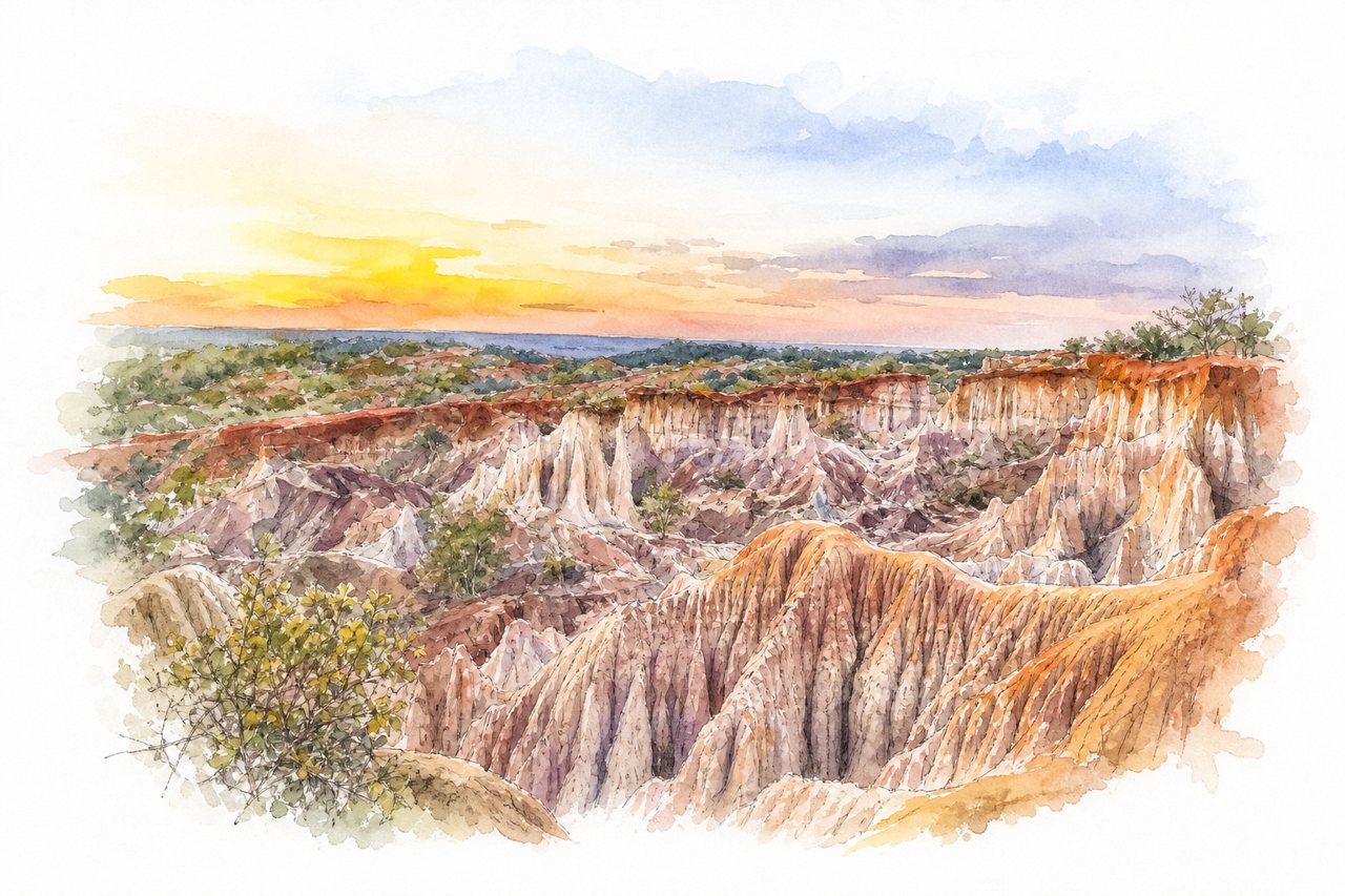
Sandstone cliffs, towers and narrow gorges cut into soft red, orange and white rock, shifting colour at sunset. Visitors see it from the rim and by walking down into the gorges with a local guide.
Highlights
- Natural rock arch
- Rim views above
- Walk through the kitchen
Good to know
- Entrance about 500 to 750 shillings per person
- Guide fee about 500 shillings
- Walk takes 45 minutes to one hour
-
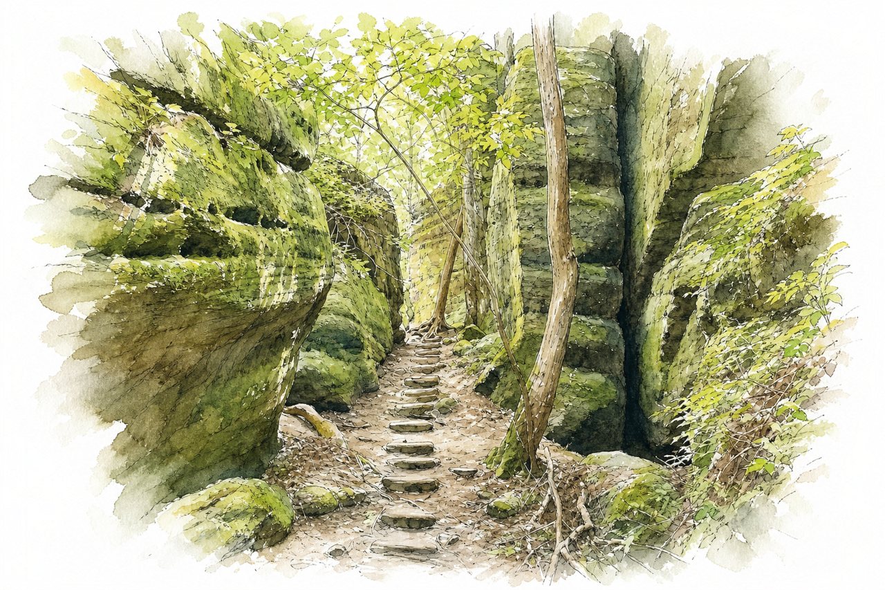
A narrow, moss-covered canyon with sheer rock walls, boulders and a creek that is crossed several times. Visitors walk a one-way loop along the canyon floor past waterfalls and caves, with a night tour to see glowing dismalites.
Highlights
- Phantom Falls
- Creek crossings
- Moss-covered rock walls
Good to know
- Admission about $20 to $25 per adult
- Night tour booking needed, phone lines fill fast
- Hike takes about 1.5 to 2 hours
-
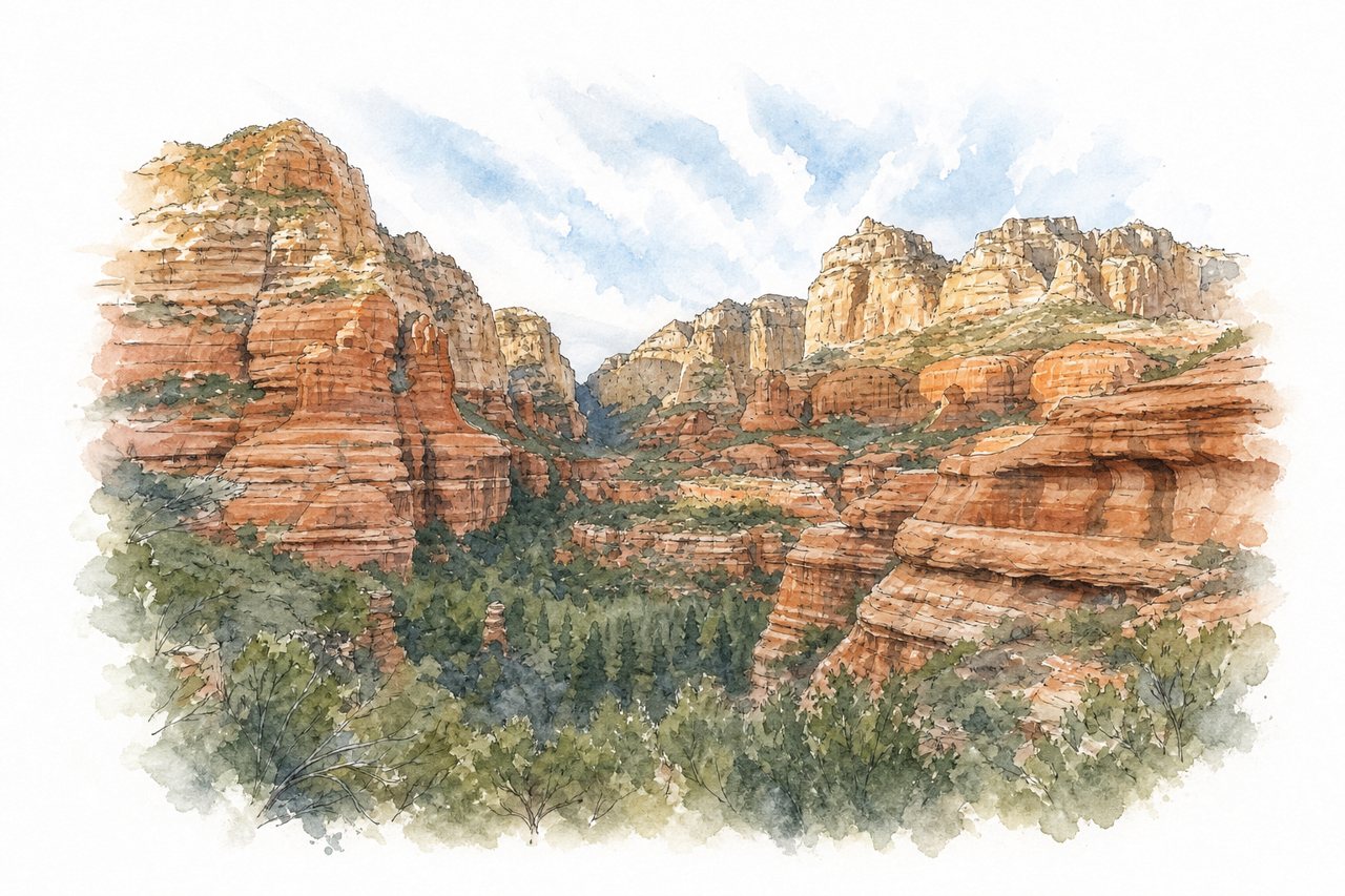
Red rock walls rise on both sides of a wooded valley floor in this canyon near Sedona. Visitors follow a trail along the walls and across the valley, with a scramble up to the Subway Cave.
Highlights
- Subway Cave
- Vista viewpoint
- Red rock cliffs
Good to know
- Parking fee about $5 per day
- Parking fills early, arrive before 8am
- Subway Cave turn unmarked, about 2 miles in
-
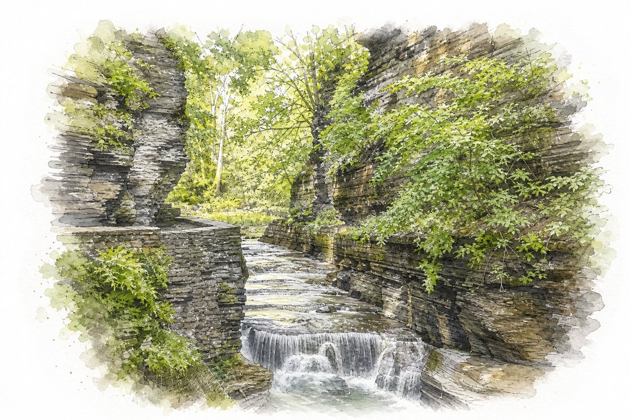
Enfield Glen is a narrow gorge of rock walls and stone steps, cut by a stream that drops over waterfalls. Visitors see it from rim viewpoints and walk the Gorge Trail through it, with a steep loop back along the rim.
Highlights
- Lucifer Falls
- Lower falls swimming pool
- Old Mill upper area
Good to know
- $10 entry, valid for other state parks same day
- Lots of steps and uneven footing
- Swimming area has lifeguards, closes early evening
-
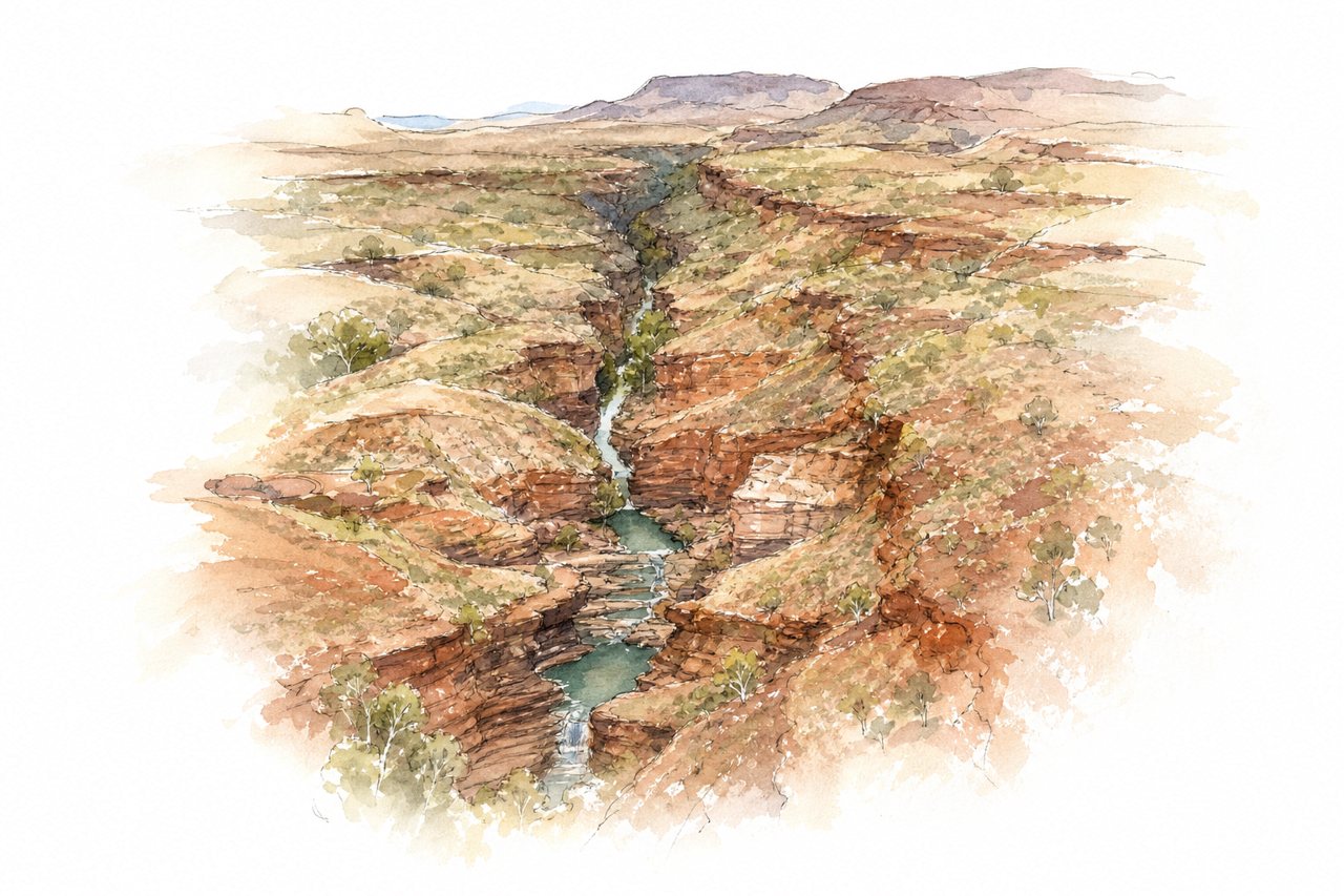
Red and banded rock walls rise over a narrow gorge where a river runs through a chain of pools. Visitors look down from lookout, take a short steep walk to the water, then swim down the gorge or scramble up to the spa pool.
Highlights
- Spa pool waterfall
- Rock pools down the gorge
- Lookout above the gorge
Good to know
- WA national parks pass, bought online beforehand
- About 40 km of unsealed road
- Steep, slippery steps, wear closed shoes
-
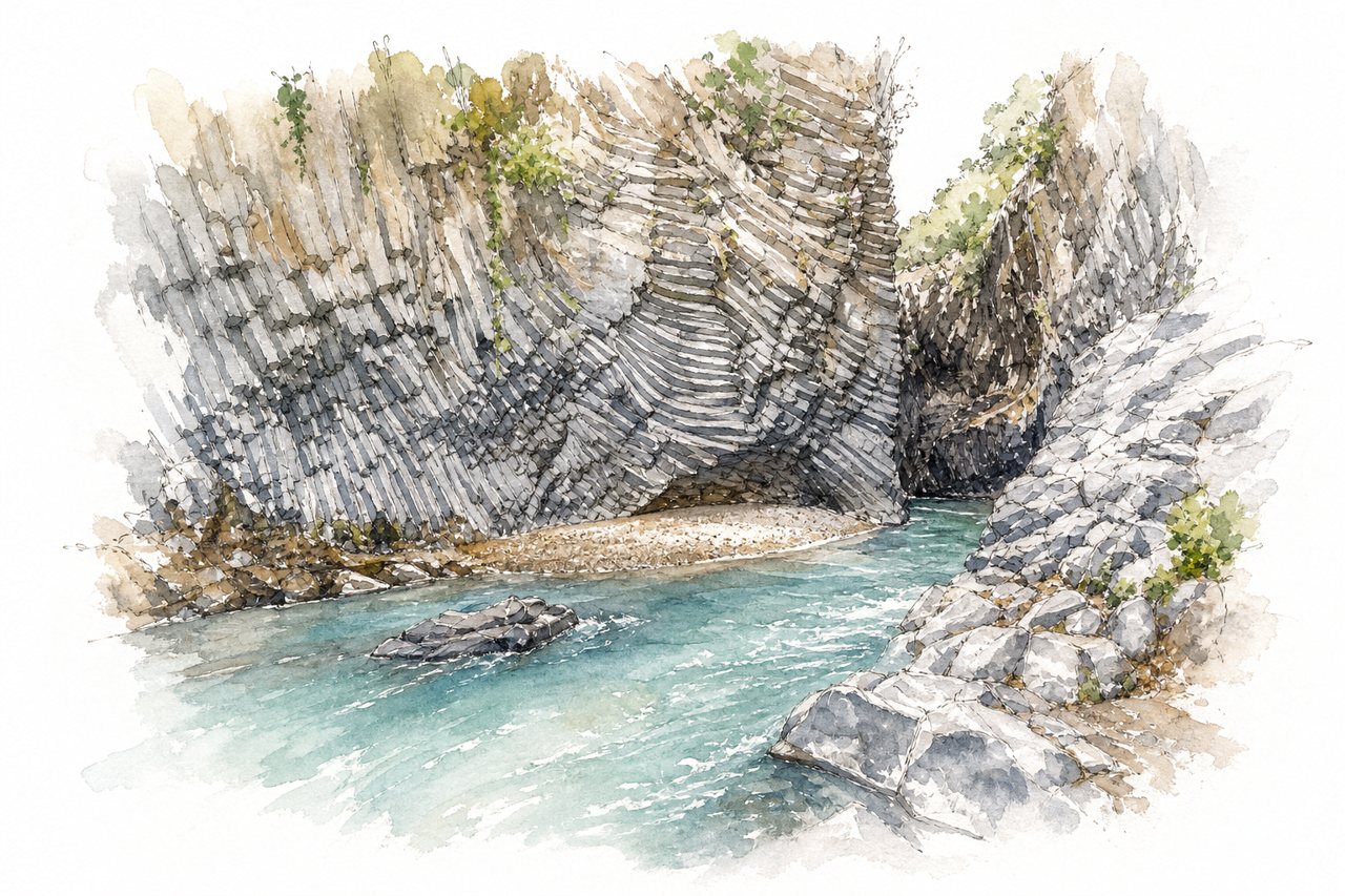
Basalt walls of dark lava rise on both sides of a cold, clear river, and the gorge is narrow enough to wade across in places. Visitors see it from viewpoints on the botanical park's rim, then walk the rocky riverbed in water shoes or take a guided rafting or canyoning trip.
Highlights
- Basalt walls of the gorge
- Viewpoints above the river
- Riverbed walk and the first waterfall
Good to know
- Municipal stairs cost €2 per person
- Private park ticket and elevator cost €30
- Bring water shoes for the rocky riverbed
Best by region
- The NordicsFjaðrárgljúfurKirkjubæjarklaustur, IcelandN° 91
- EuropeHöllentalklammGrainau, GermanyN° 3
- AsiaTiger Leaping GorgeYunnan, ChinaN° 30
- The Middle EastHorma CanyonPınarbaşı, TurkeyN° 7
- North AmericaAntelope CanyonPage, United StatesN° 1
- Latin AmericaGüejar CanyonMesetas, ColombiaN° 17
- AfricaBlyde River CanyonMpumalanga, South AfricaN° 11
- OceaniaPatuna ChasmMartinborough, New ZealandN° 58